Itri → Gaeta
Walking distance 15.7 km
Download Appy for the stage map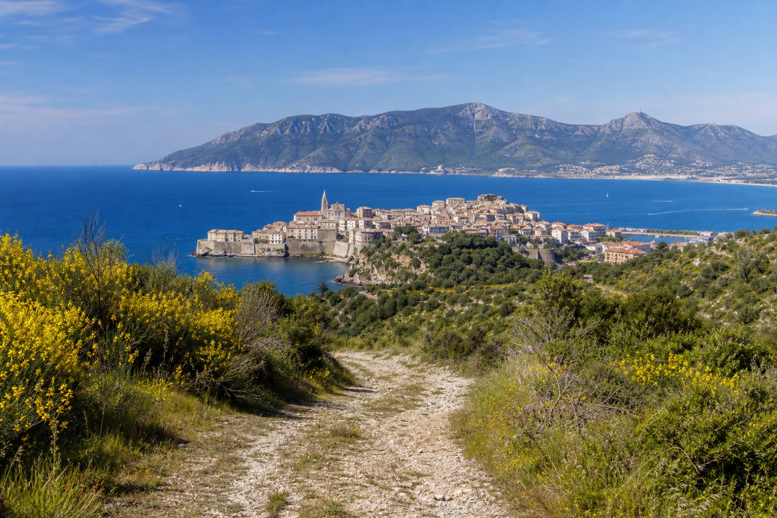
Stage information
- Ascent
- 291 m
- Descent
- 467 m
Difficulty: moderate
Walking the stage
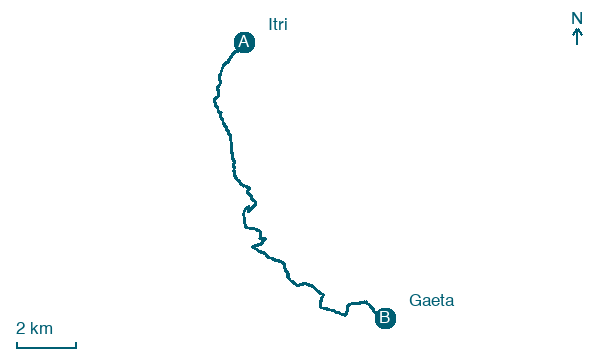
Out of Itri across the Via Appia and along the long country road of Strada le Vignole through the hills toward the coast. Down to the beach at Serapo for the first sea views, through Porta Carlo III and along the waterfront to the cathedral of Gaeta. About 16 km.
Before leaving Itri, locate Castello Caetani on the map. It is close to the starting point. On arrival in Gaeta, consider a stop at Maria Santissima Assunta in Cielo già Santa Maria del Parco a Gaeta, close to the finish.
Look for these places on the stage map: Posaturo.
What to see on this stage
History and landmarks
Castello Caetani
Castle · < 100 m from the trail as the crow flies
Medieval castle built in phases over four centuries, with a cylindrical tower from around 1250, when the Caetani already held it. Tradition says a large reptile in the moat below was fed condemned prisoners.
Maria Santissima Assunta in Cielo già Santa Maria del Parco a Gaeta
Cathedral · < 100 m from the trail as the crow flies
Map · Itri → Gaeta
Take your walk with you: download Appy
Via Francigena del Sud (tratta Laziale): Itri → Gaeta. Explore maps, stages and elevation in the app, and plan your train or bus journey.

