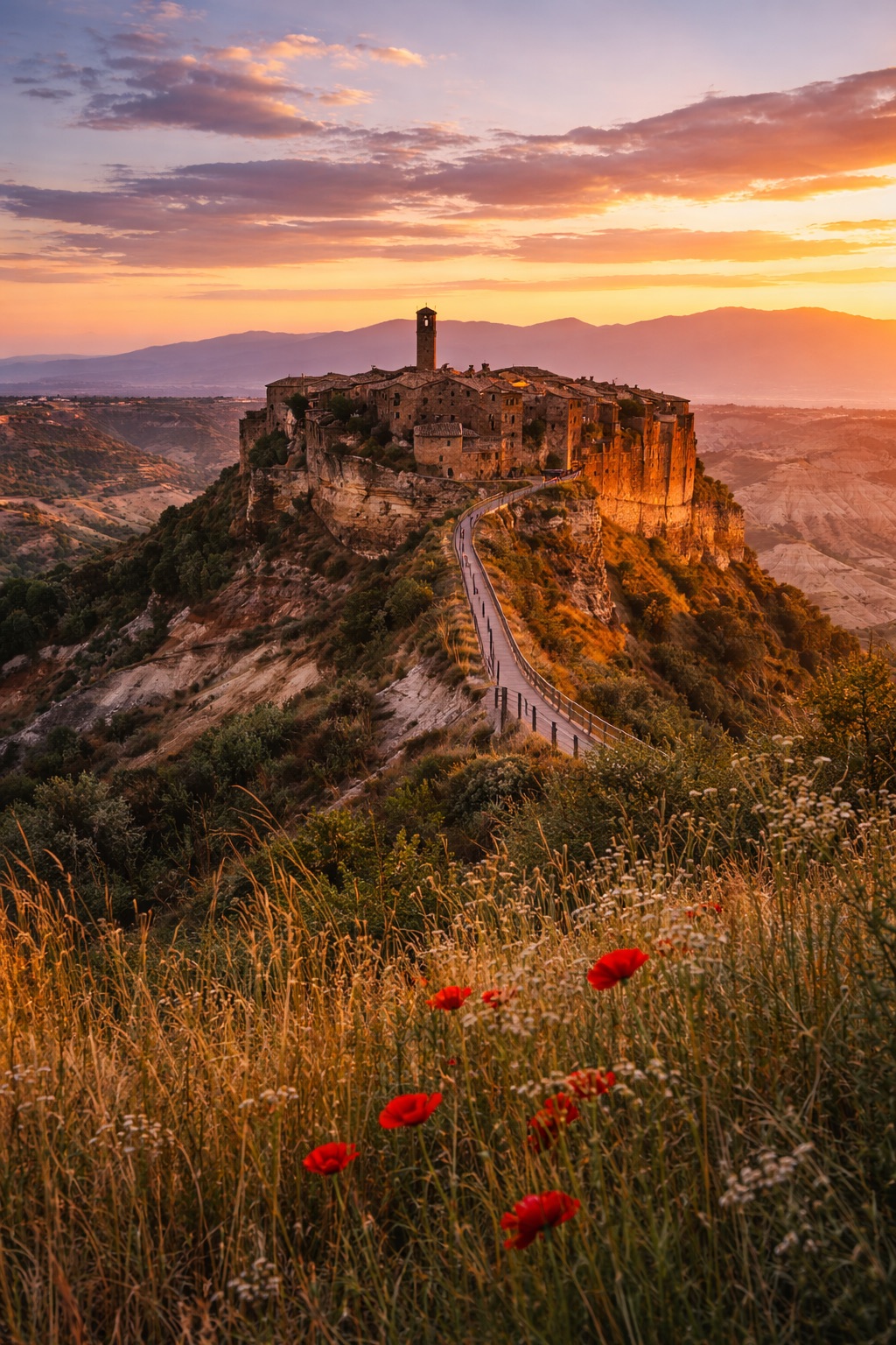
Via dei Tusci
Lazio, Italy
Italy · Castiglione in Teverina, Italy → Castiglione in Teverina, Italy
Distance
88 km
Stages
5
Difficulty
moderate
Best months
Apr-Jun, Sep-Oct
About
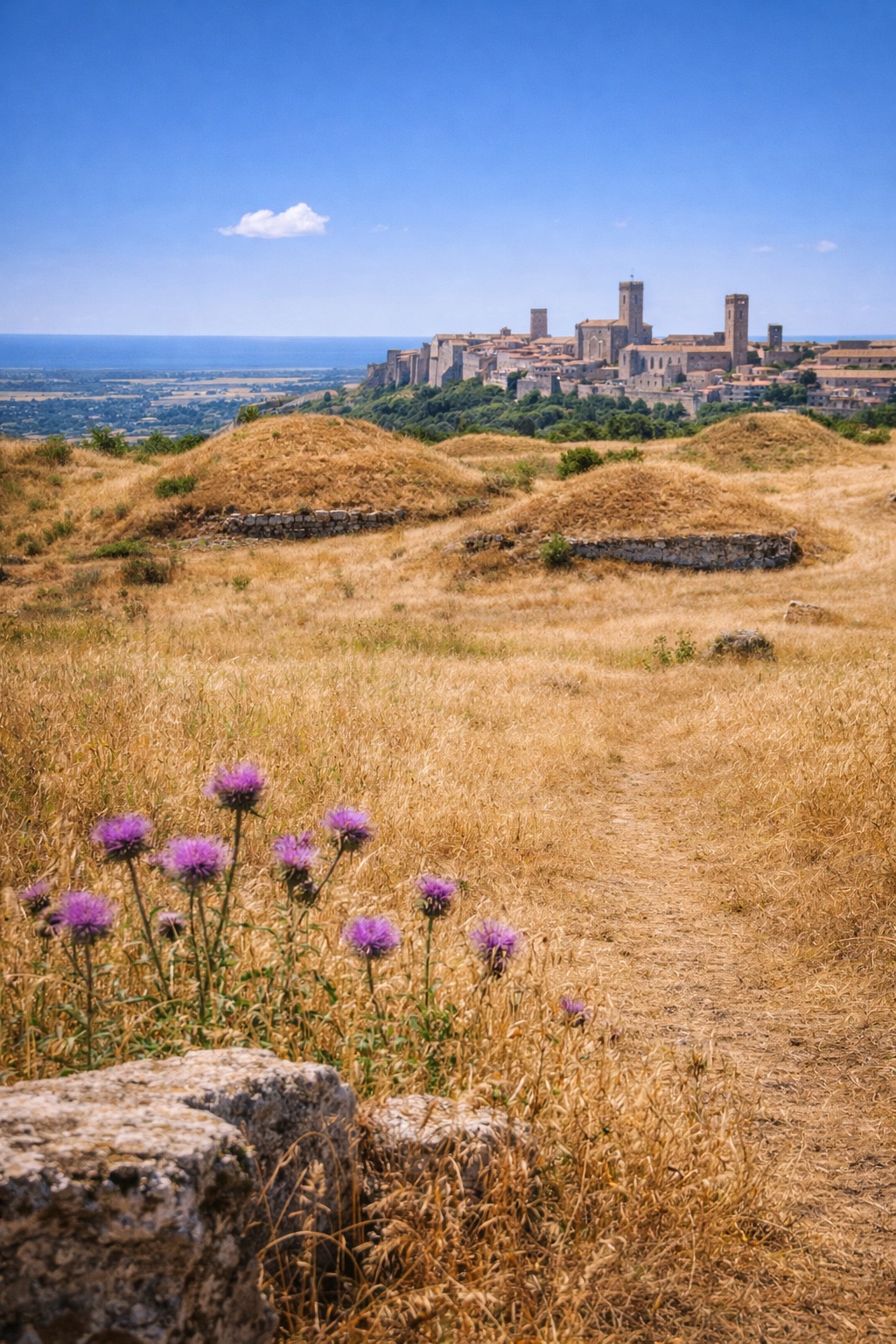
Etruscan echoes linger in Lazio’s rolling hills. An 90 km cultural walk that begins and ends in Castiglione in Teverina, a town perched on the Tiber valley ridge.
Five stages weave through Civitella d'Agliano's medieval charm, Viterbo’s thermal springs, and Sant’Angelo di Roccalvecce’s ancient ruins. Olive groves rustle in the breeze, while the landscape reveals a civilization that thrived long ago.
With a total elevation gain of 2,398 m, this route invites both beginners and seasoned walkers to connect with history and nature year-round.
Stages
5 stages
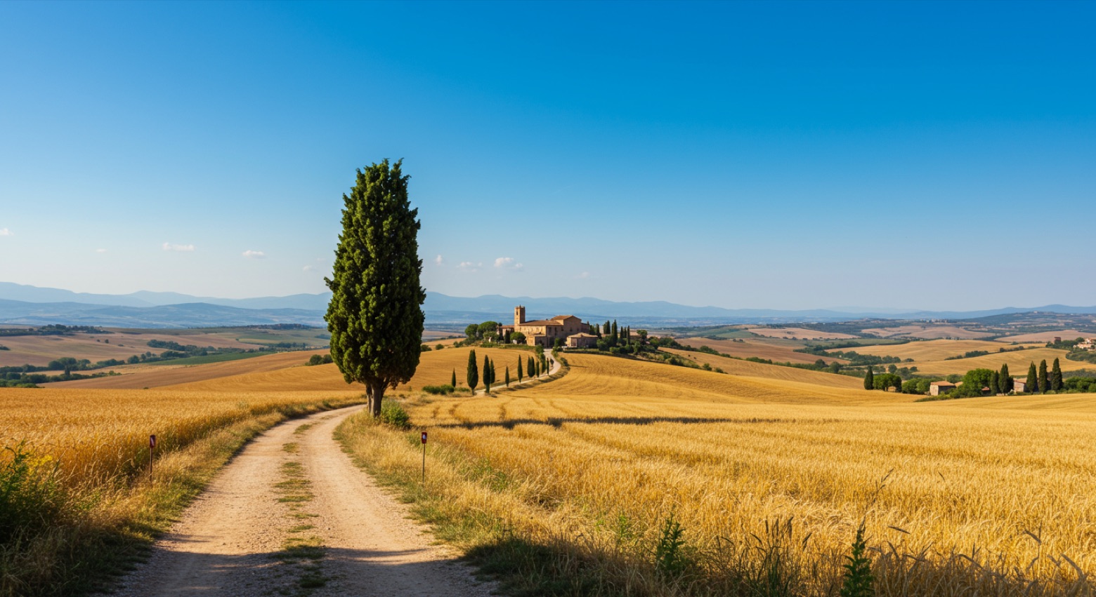 Stage 1Distance15 kmAscent464 mDescent425 m
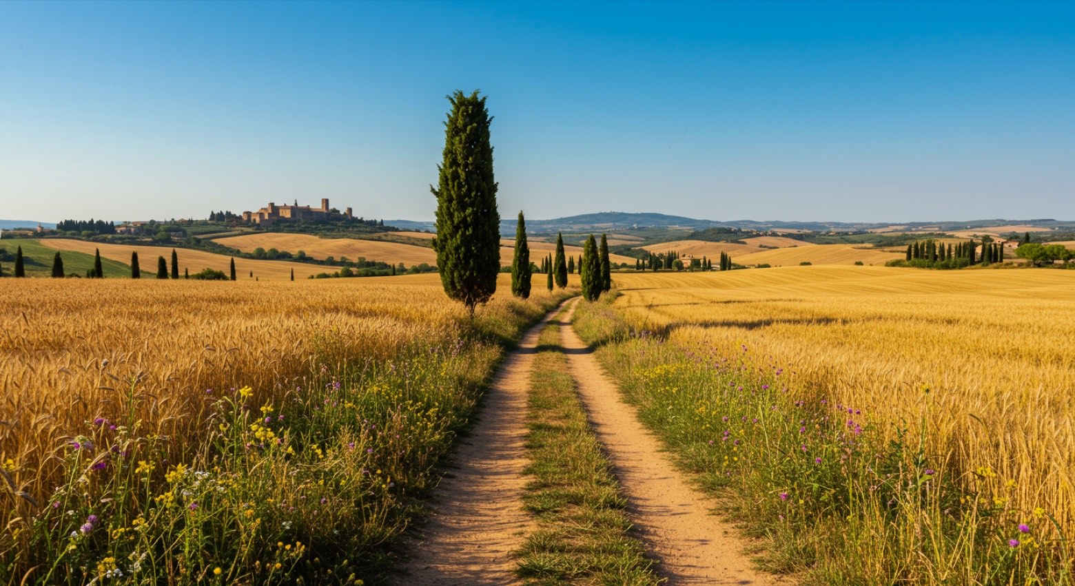 Stage 2
Civitella d'Agliano → Viterbo
moderateDistance18 kmAscent451 mDescent470 m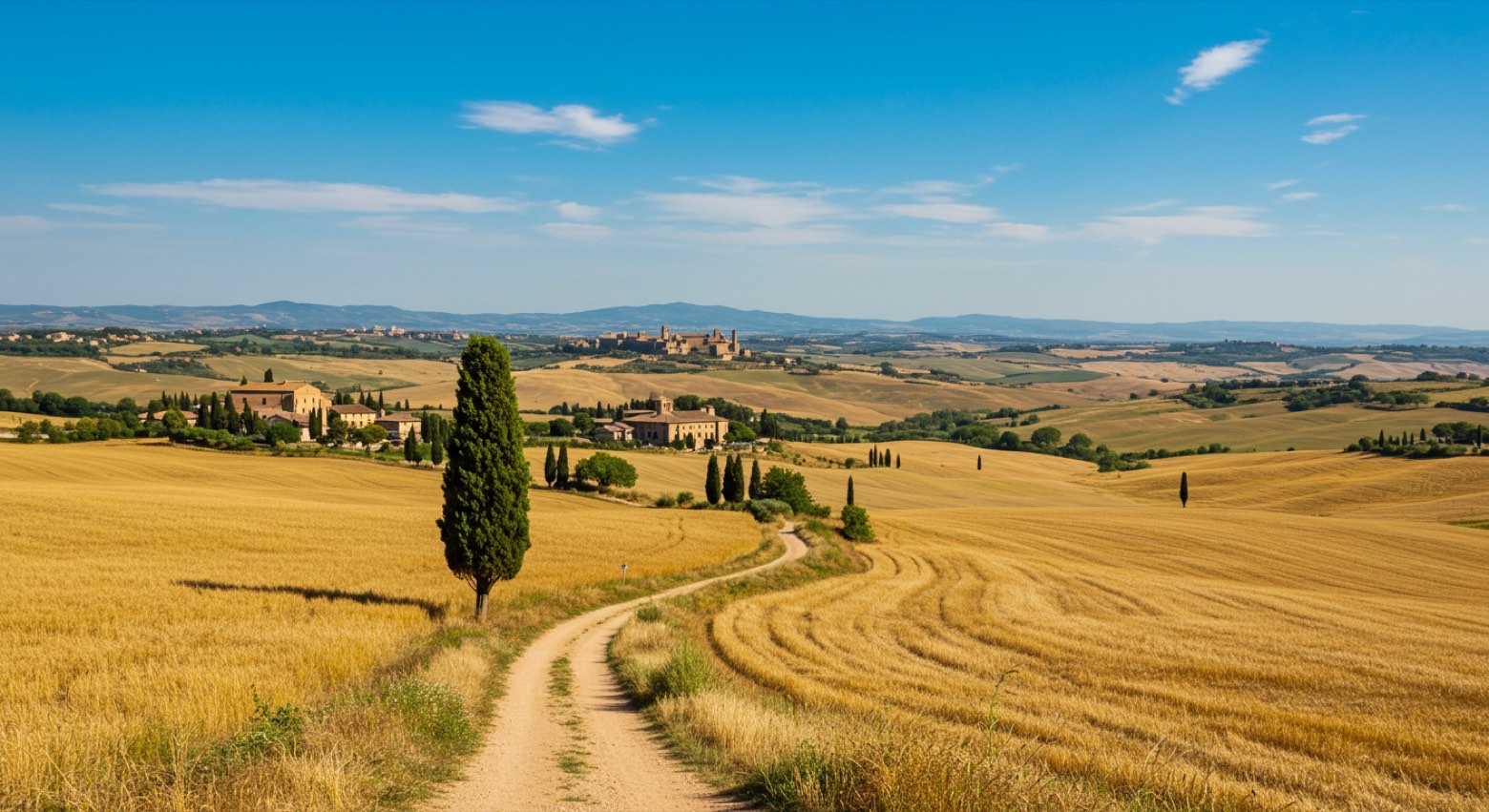 Stage 3
Viterbo → Bagnoregio
moderateDistance16 kmAscent438 mDescent343 m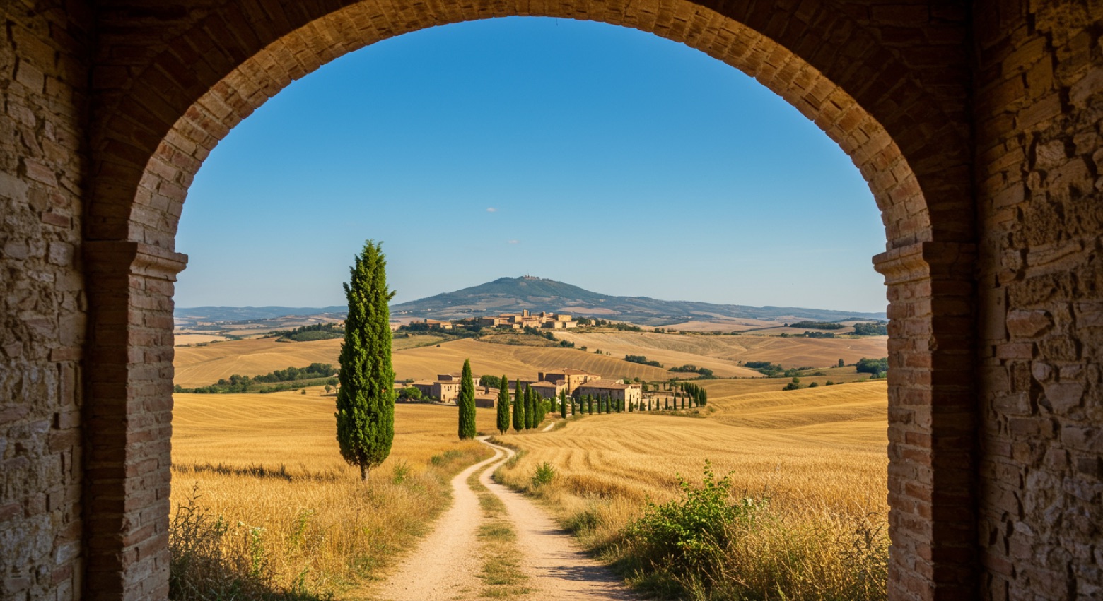 Stage 4
Bagnoregio → Bagnoregio
moderateDistance17 kmAscent623 mDescent510 m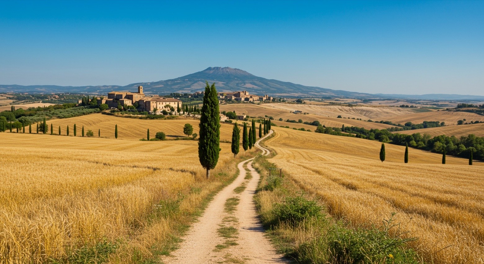 Stage 5Distance21 kmAscent422 mDescent695 m
Points of interest
Travel
Find connections for your cammino.
Search trainsMore walks in Italy
Plan your walking trip
How to choose a walking route: stages, days and ascent
Choose a walking route by comparing daily stages, available days, ascent and transport links. Practical planning with examples from the Appy catalogue.
How to plan a walking trip by train and bus
Plan travel to and from your walk: stage endpoints, stations, stops and the connection to the trail. A practical guide to routes and transport with Appy.
Take your walk with you: download Appy
Via dei Tusci. Explore maps, stages and elevation in the app, and plan your train or bus journey.