Cammino Tuscia 103
Lazio, Italy
Italy · Orte Scalo, Italy → Tarquinia, Italy
Distance
109 km
Stages
8
Difficulty
moderate
Best months
Apr-Jun, Sep-Oct
About
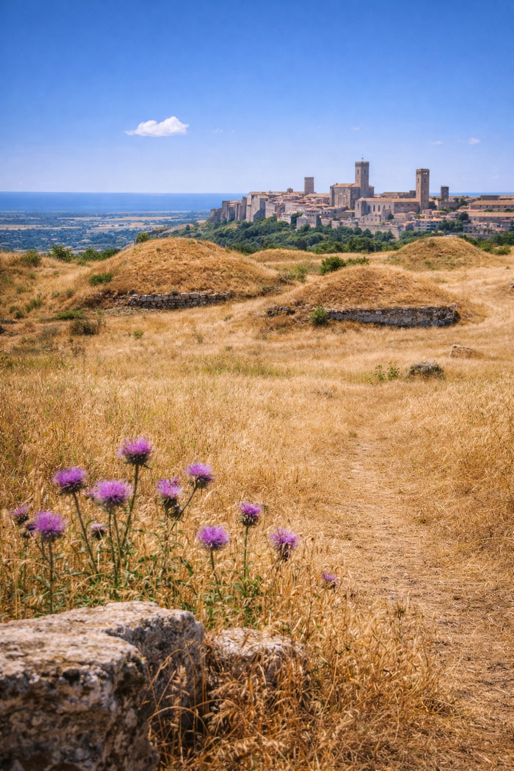
A 110 km journey through time. The Cammino Tuscia 103 winds from Orte Scalo to Tarquinia, tracing the footsteps of the Etruscans across eight stages.
Picture this: ancient tombs, volcanic hills, and the scent of wild herbs mingling with the breeze. Each stage averages 13.6 km, making it accessible for all.
Key waypoints like Bagnolo and Sant'Eutizio offer glimpses into a rich cultural . With a total elevation gain of 2,624 m, this walk invites you to experience Lazio's history and landscapes, any time of year.
Stages
8 stages
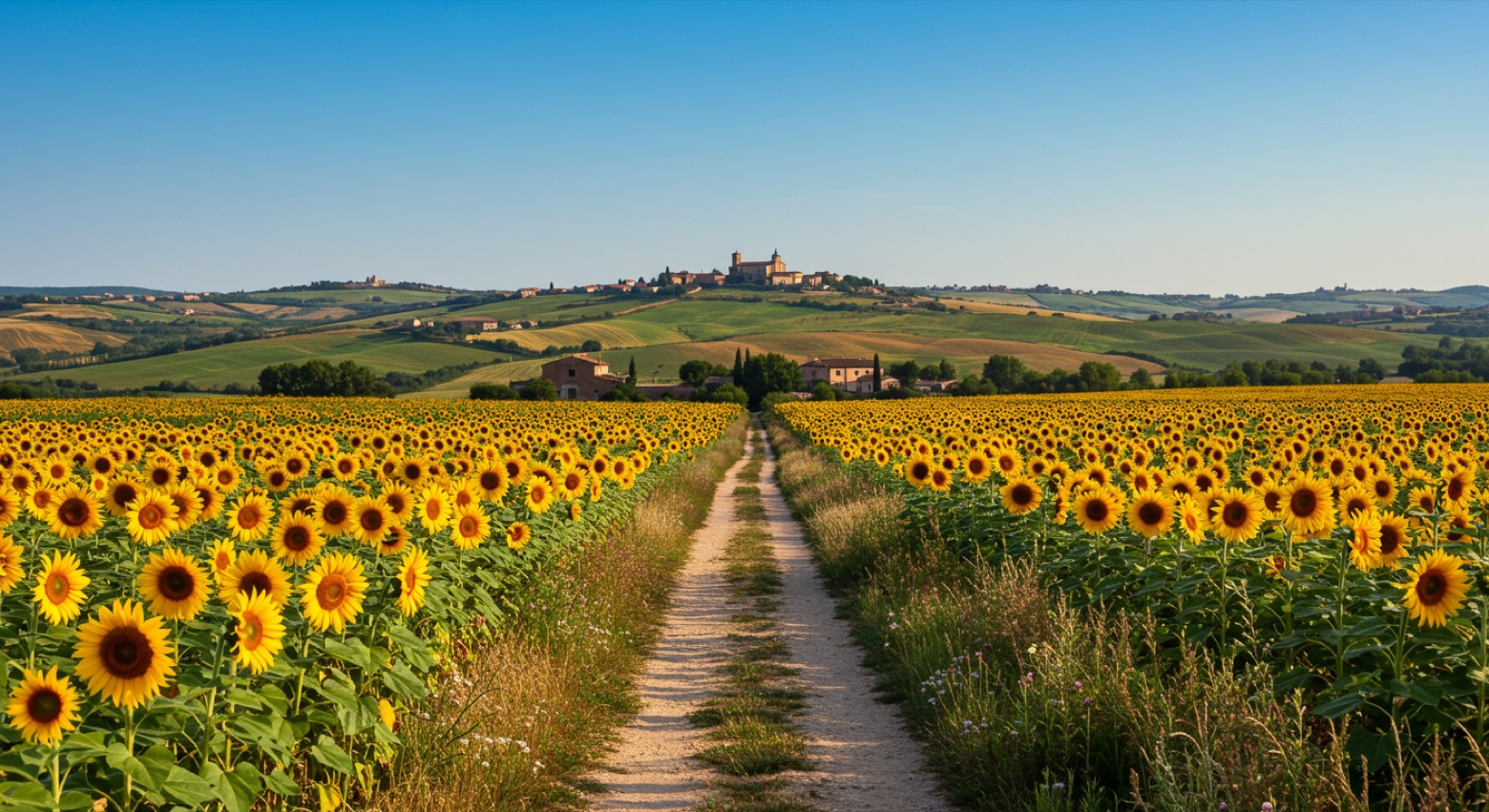 Stage 1Distance9 kmAscent329 mDescent113 m
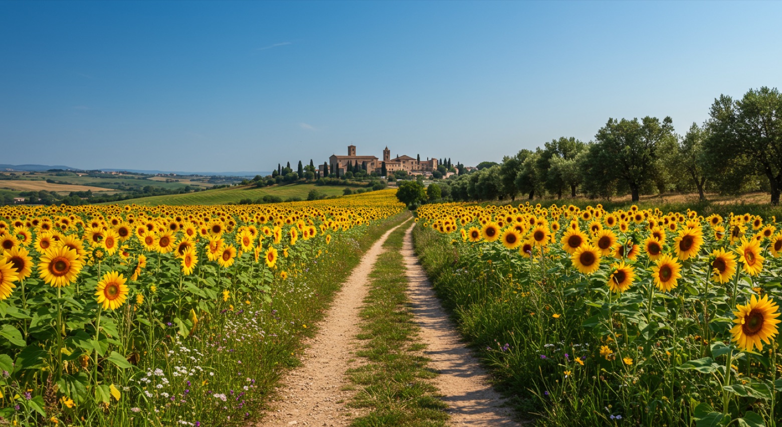 Stage 2Distance14 kmAscent286 mDescent107 m
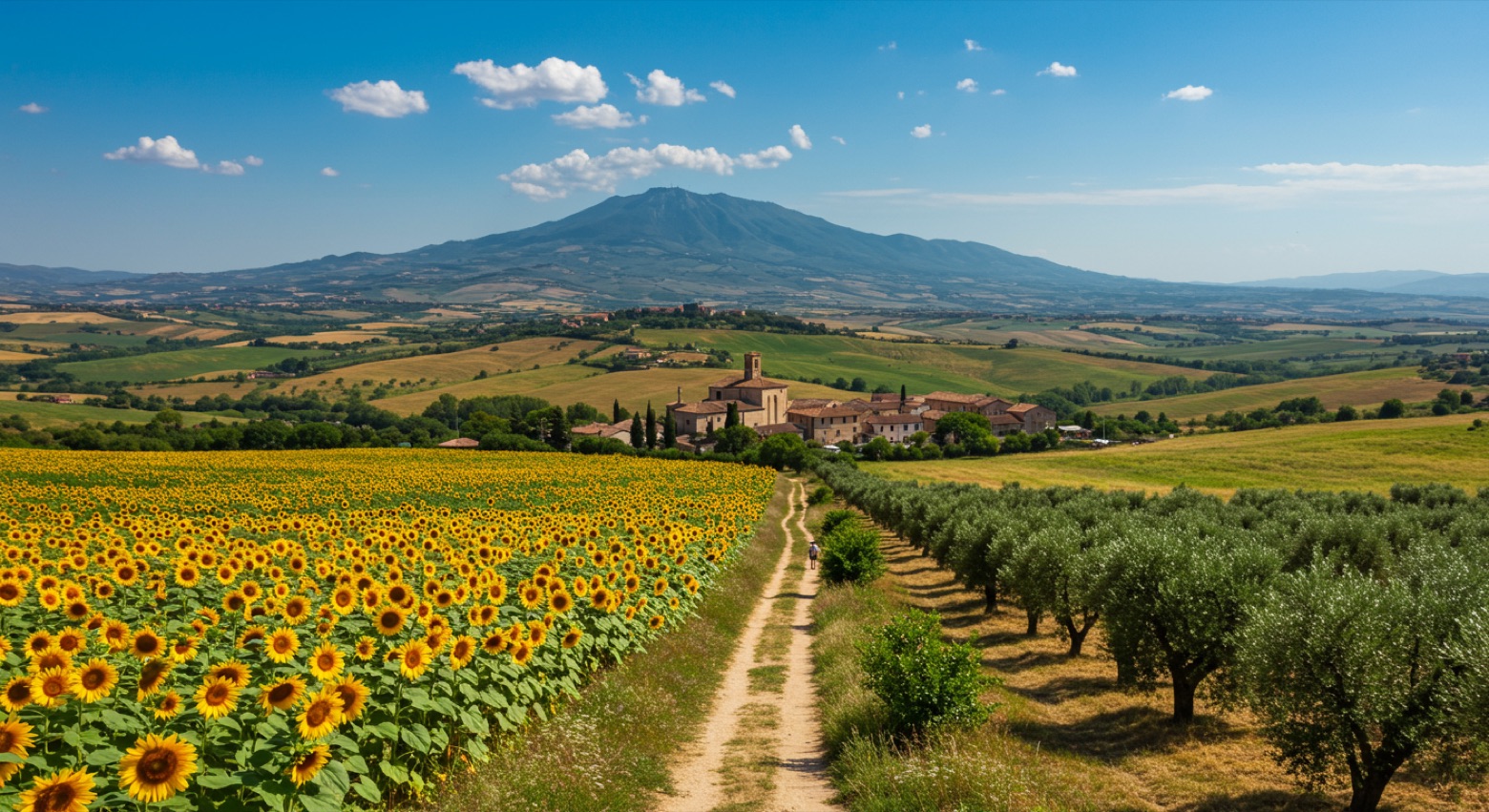 Stage 3Distance20 kmAscent835 mDescent732 m
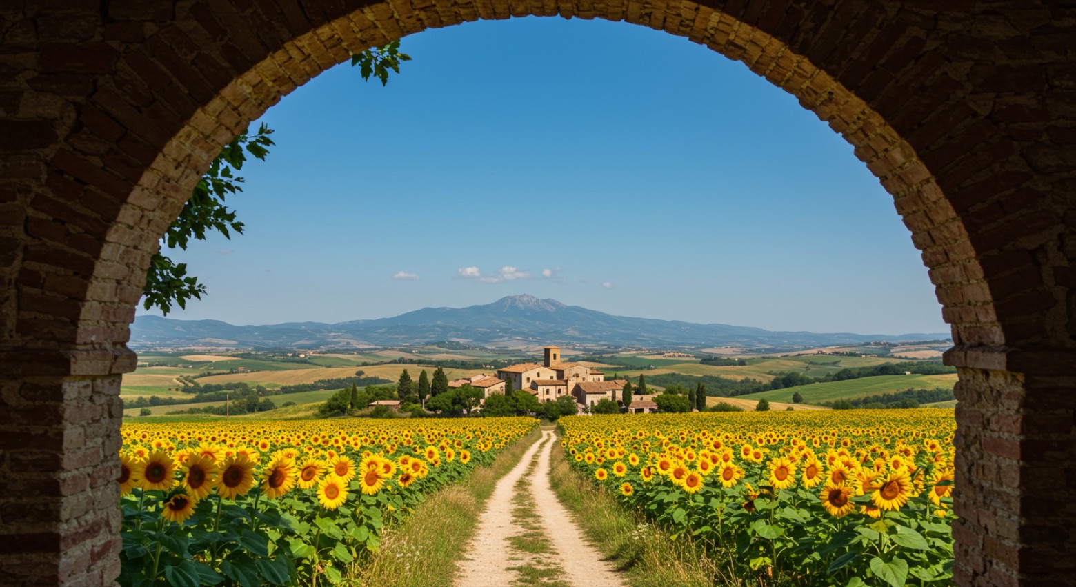 Stage 4
San Martino al Cimino → La Botte
moderateDistance12 kmAscent352 mDescent529 m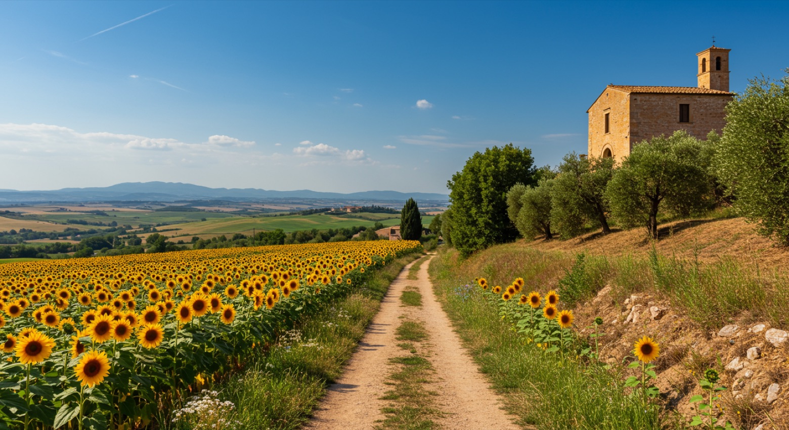 Stage 5Distance10 kmAscent134 mDescent179 m
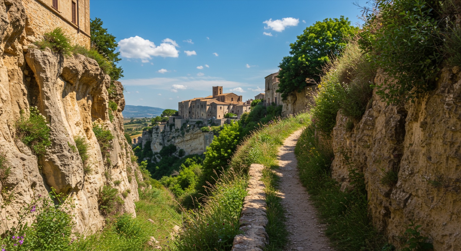 Stage 6Distance7 kmAscent158 mDescent305 m
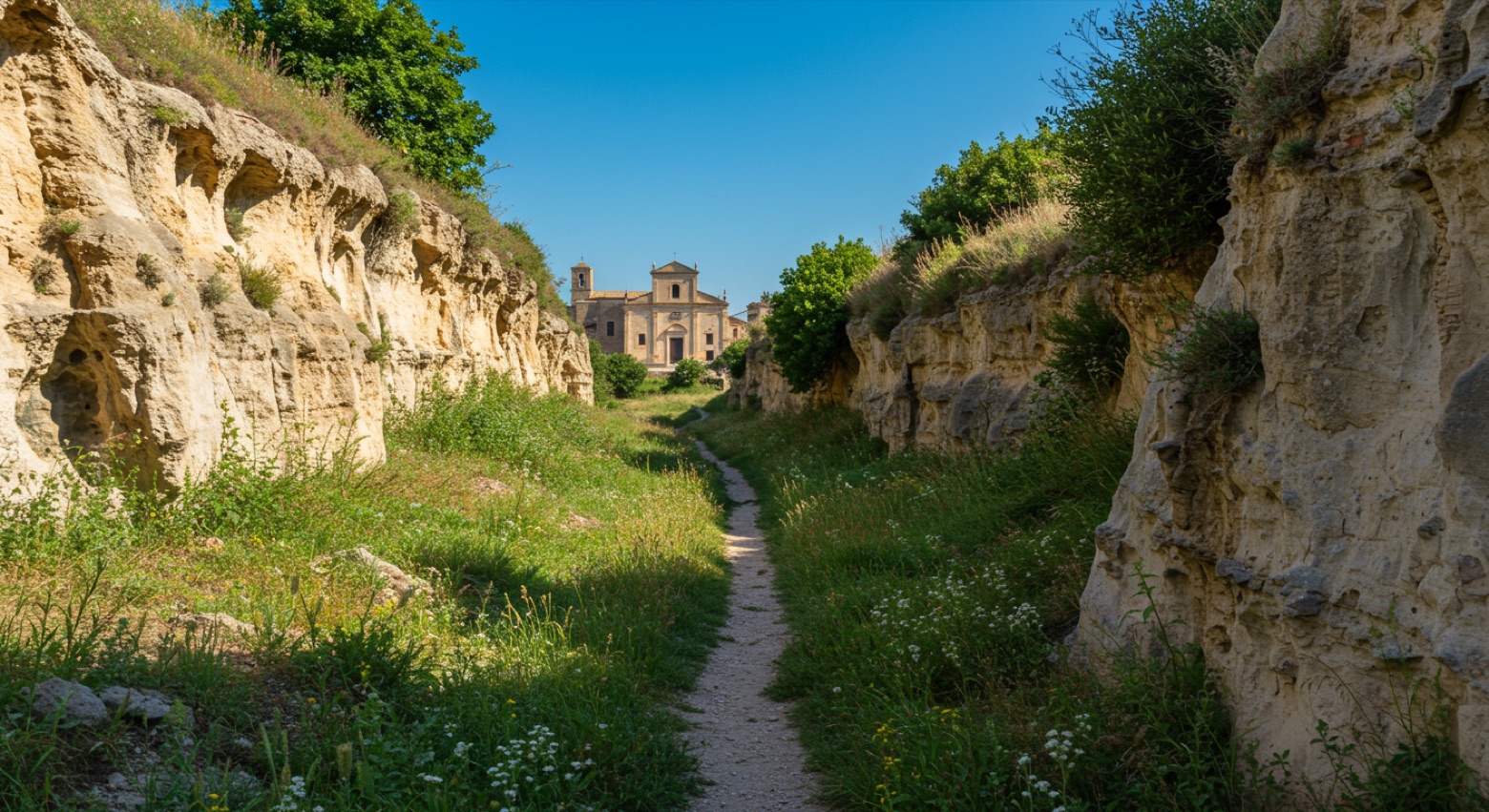 Stage 7
Civitella Cesi → Monte Romano
moderateDistance19 kmAscent326 mDescent268 m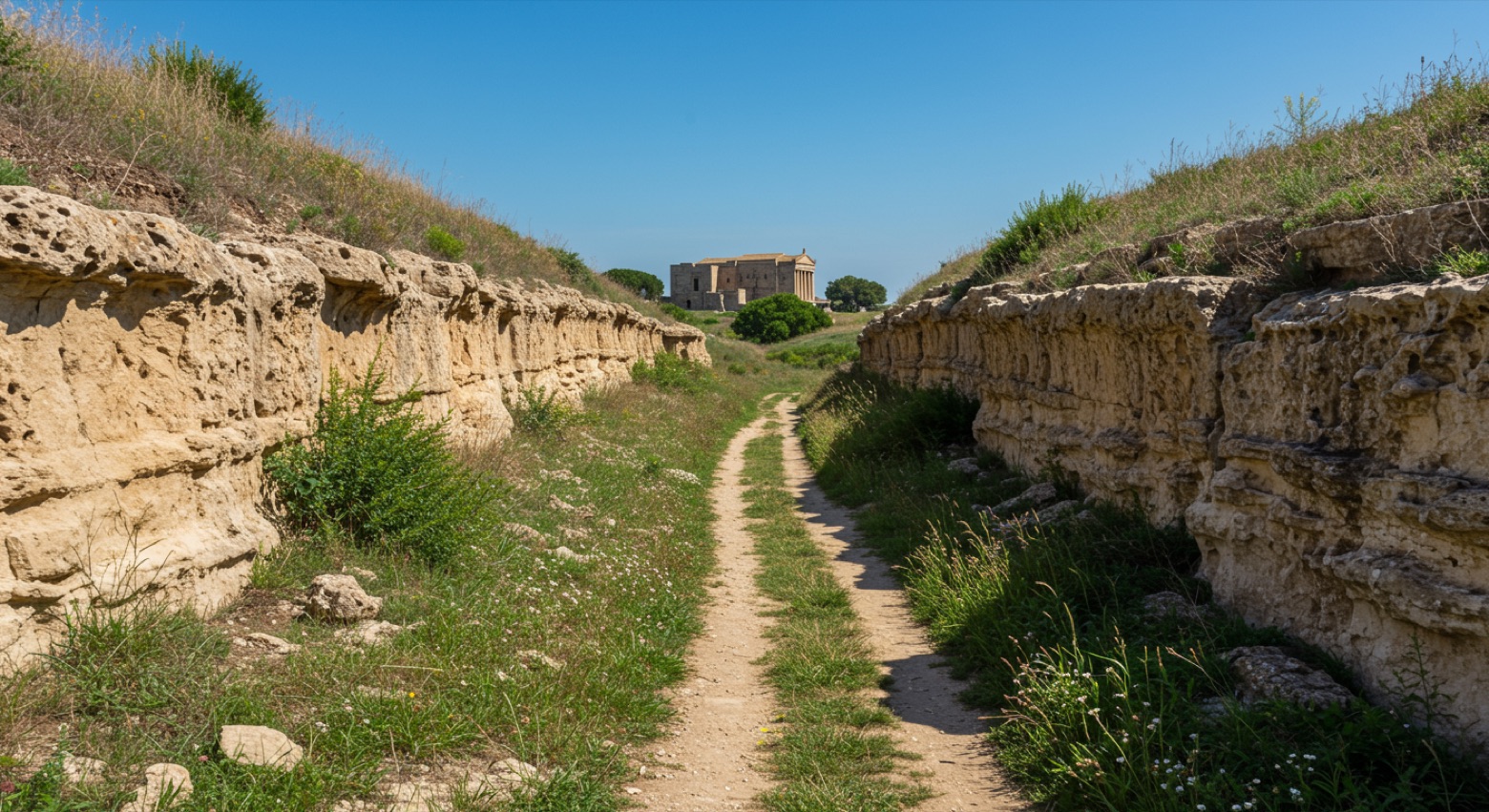 Stage 8Distance18 kmAscent204 mDescent321 m
Points of interest
- Monte Romano (Samian Ware Discovery Site)
- Orte Sotterranea
- Castello Torlonia
Castello Torlonia. Castle, in Blera, Italy, designated as Italian national heritage.
- Castello Orsini
Castello Orsini. 12th-century castle, in Soriano nel Cimino, Italy, designated as Italian national heritage.
- Museo diocesano di Tarquinia
- Area archeologica di San Giuliano
Major landmark. Archaeological site — ancient history right beside the trail.
- Demetra a Macchia delle Valli
- Necropoli Campo Sant'Antonio-Chiusa Cima
Major landmark. Archaeological site — ancient history right beside the trail.
Travel
Find connections for your cammino.
Search trainsMore walks in Italy
Plan your walking trip
How to choose a walking route: stages, days and ascent
Choose a walking route by comparing daily stages, available days, ascent and transport links. Practical planning with examples from the Appy catalogue.
How to plan a walking trip by train and bus
Plan travel to and from your walk: stage endpoints, stations, stops and the connection to the trail. A practical guide to routes and transport with Appy.
Take your walk with you: download Appy
Cammino Tuscia 103. Explore maps, stages and elevation in the app, and plan your train or bus journey.