Romea Annia
Veneto, Italy
Italy · Concordia Sagittaria, Italy → Venetian Mainland, Italy
Distance
214 km
Stages
10
Difficulty
easy
Best months
Apr-Jun, Sep-Oct
About
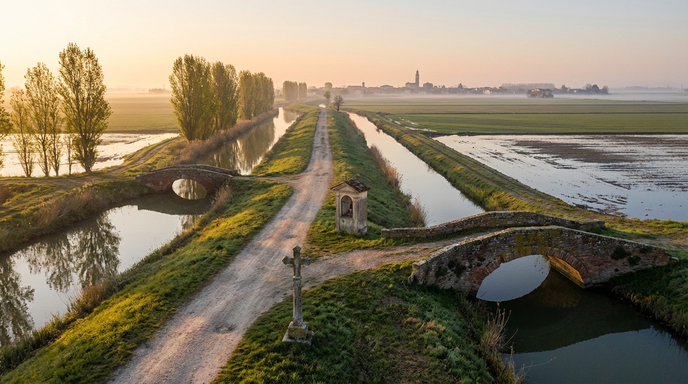
Two hundred thirteen kilometers of flat fields and ancient pathways. The Romea Annia, tracing the Via Annia, connects Concordia Sagittaria to the Venetian mainland, 10 stages of history, culture, and quiet reflection.
You’ll pass through Torre di Mosto and San Donà di Piave, where the scent of fresh bread mingles with the earth. With an elevation gain of 1,182 meters, it’s a moderate journey, best tackled in spring or autumn, when the weather is kind.
This isn’t just a walk; it’s a connection to Italy’s past, a chance to breathe in the stories of the land.
Stages
10 stages
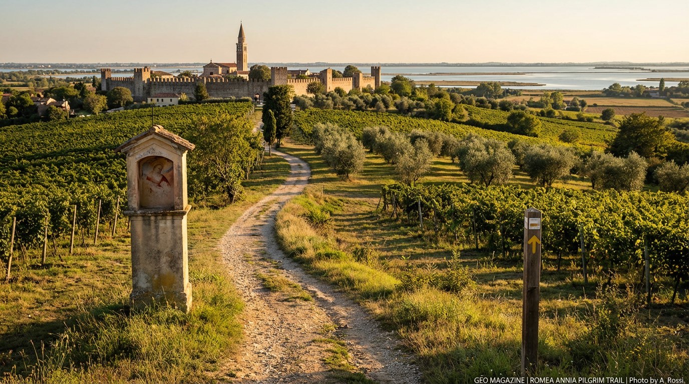 Stage 1Distance17 kmAscent24 mDescent23 m
- Stage 2Distance21 kmAscent24 mDescent23 m
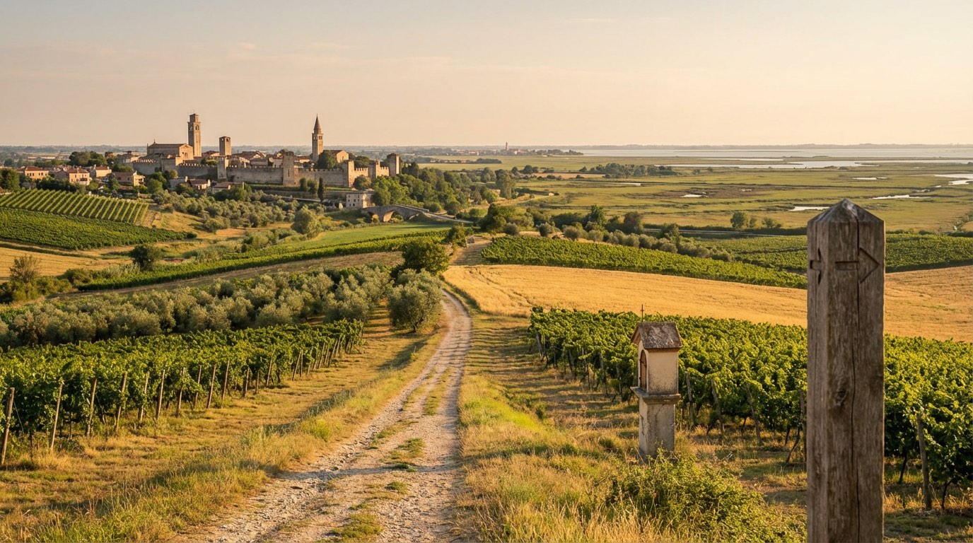 Stage 3Distance29 kmAscent176 mDescent177 m
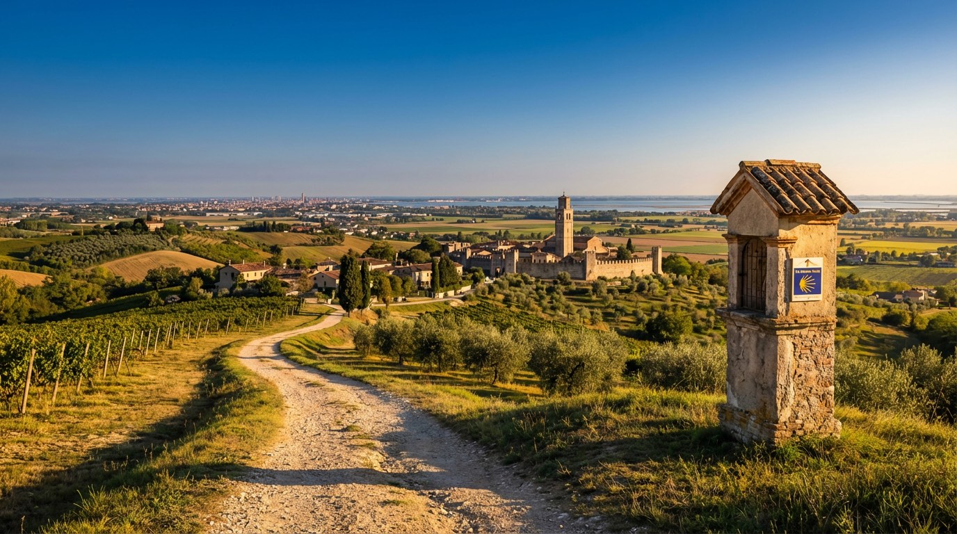 Stage 4Distance22 kmAscent48 mDescent47 m
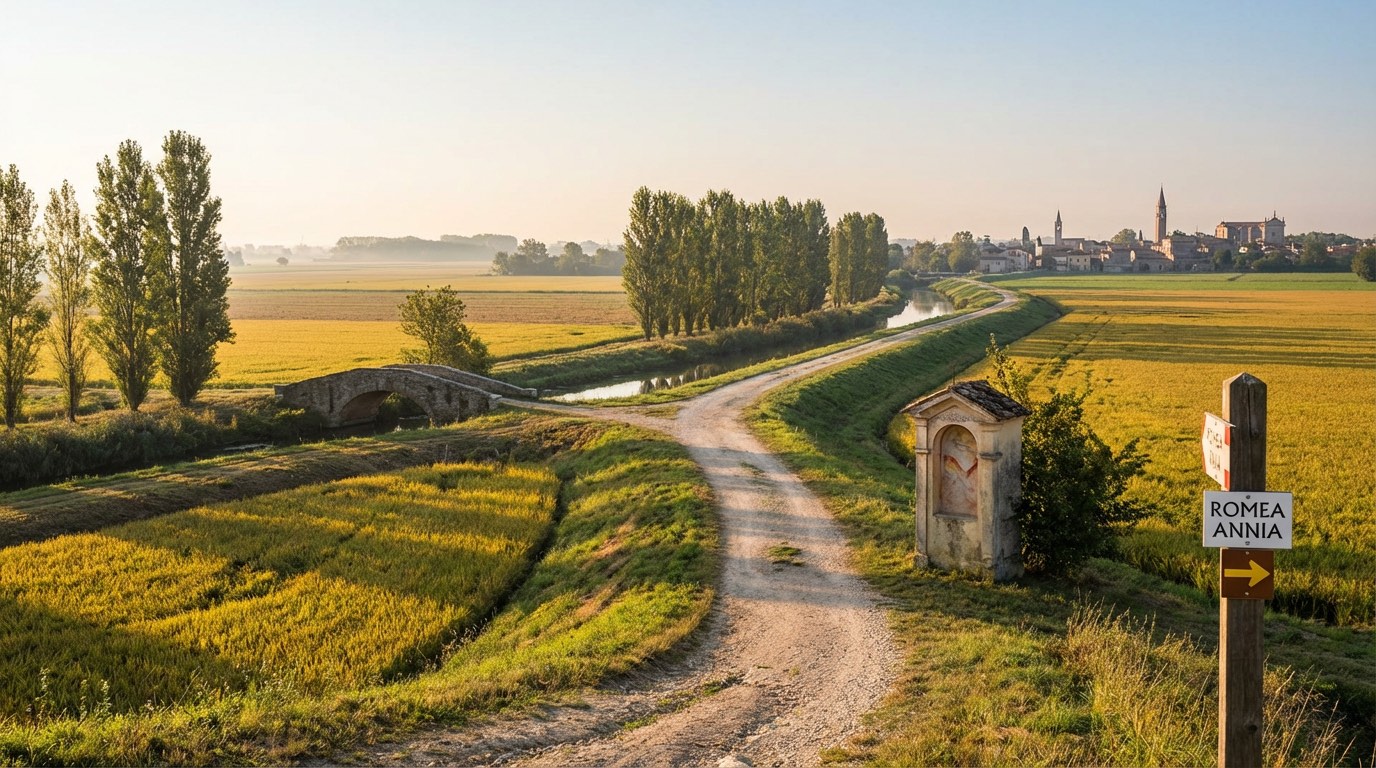 Stage 5
Mestre → Dolo
easyDistance24 kmAscent54 mDescent50 m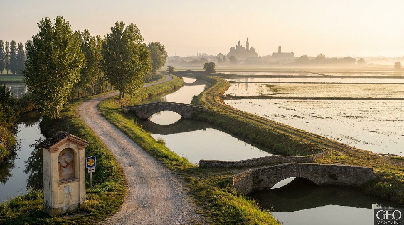 Stage 6
Dolo → Padova
easyDistance20 kmAscent132 mDescent125 m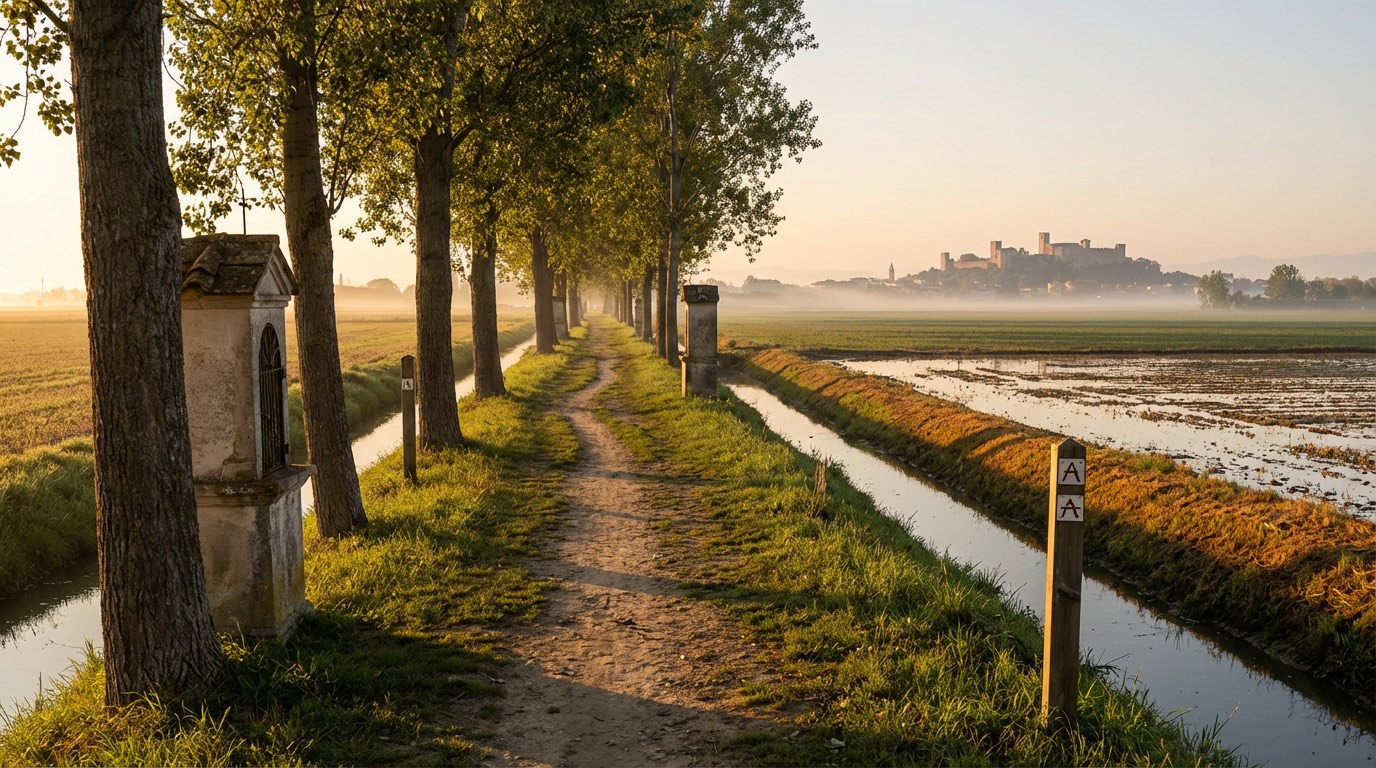 Stage 7
Padova → Monselice
moderateDistance22 kmAscent184 mDescent186 m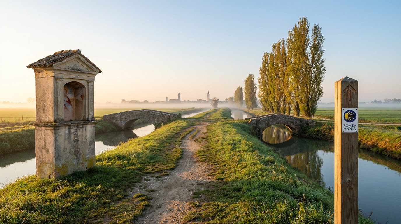 Stage 8Distance17 kmAscent210 mDescent210 m
 Stage 9
Carceri → Badia Polesine
moderateDistance24 kmAscent259 mDescent258 m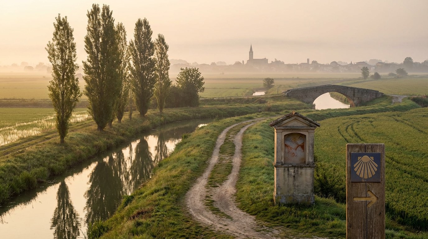 Stage 10Distance19 kmAscent71 mDescent72 m
Travel
Find connections for your cammino.
Search trainsMore walks in Italy

Plan your walking trip
How to choose a walking route: stages, days and ascent
Choose a walking route by comparing daily stages, available days, ascent and transport links. Practical planning with examples from the Appy catalogue.
How to plan a walking trip by train and bus
Plan travel to and from your walk: stage endpoints, stations, stops and the connection to the trail. A practical guide to routes and transport with Appy.
Take your walk with you: download Appy
Romea Annia. Explore maps, stages and elevation in the app, and plan your train or bus journey.