Molise Calling
Molise, Italy
Italy
Distance
269 km
Stages
8
Difficulty
challenging
Best months
Apr-Jun, Sep-Oct
About
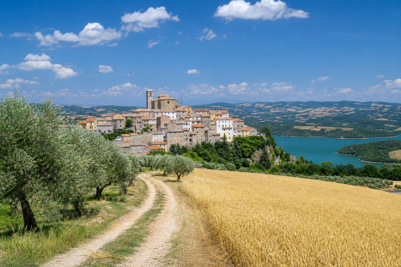
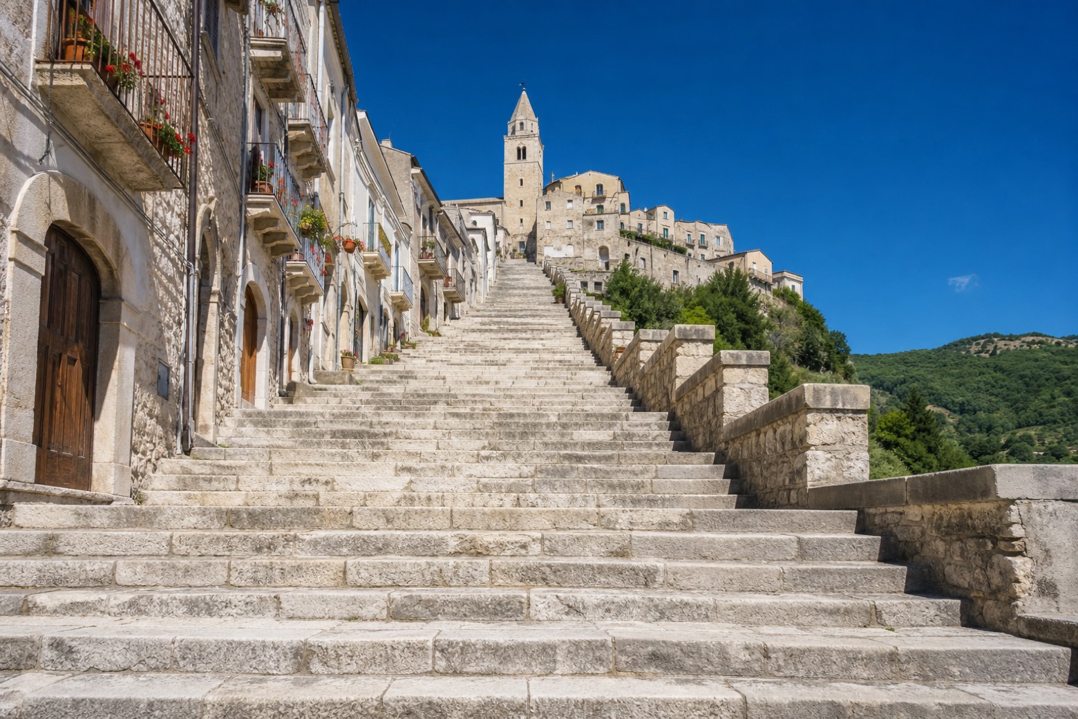
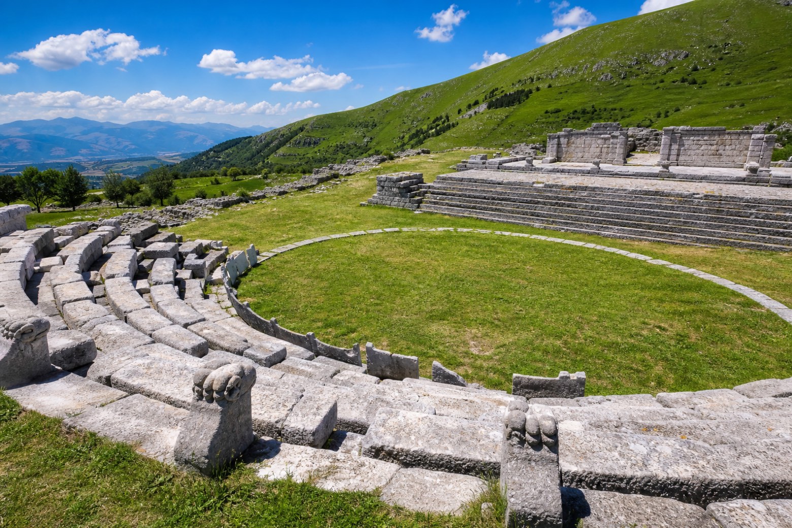
Molise Calling crosses one of the least known regions of Italy, from Termoli on the Adriatic to Campobasso. You climb slowly inland past lakes, streams, waterfalls and small villages: Trivento and its steps, Agnone, the town of bells, and the wide views of Pietrabbondante.
It is about 270 km in 8 stages, the line Nico Colucci of Il Cammino del Cretino walked alone in 2020. Here's the thing: the stages are long, and the Alto Molise has plenty of ups and downs for your knees.
Stages
8 stages
- Stage 1
Termoli → Guardialfiera
challenging- Distance
- 35 km
- Ascent
- 900 m
- Descent
- 645 m
 Stage 2
Guardialfiera → Salcito
challenging- Distance
- 34 km
- Ascent
- 1427 m
- Descent
- 1019 m
 Stage 3
Salcito → Pietrabbondante
challenging- Distance
- 26 km
- Ascent
- 737 m
- Descent
- 563 m
 Stage 4
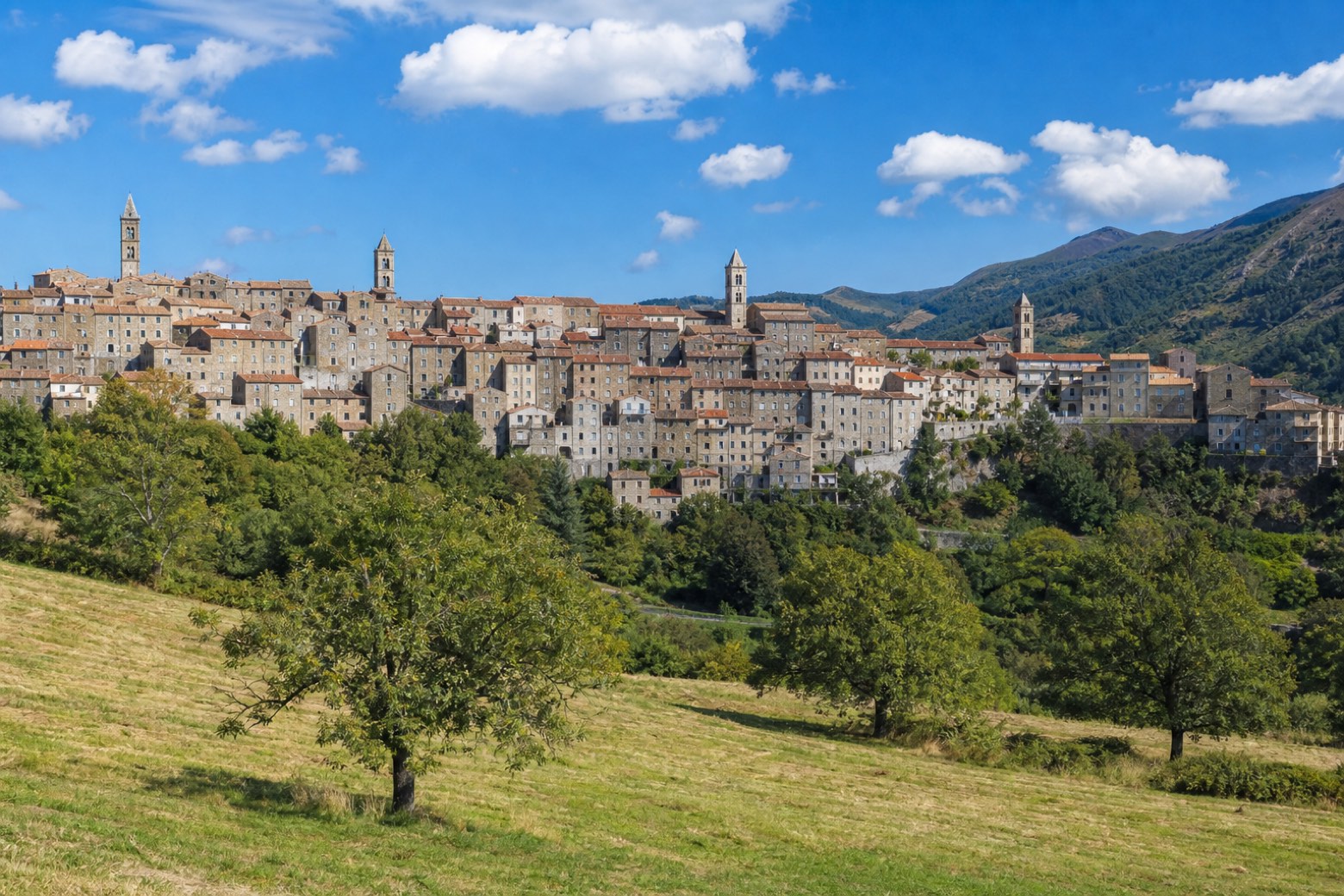
Pietrabbondante → Capracotta
challenging- Distance
- 34 km
- Ascent
- 1272 m
- Descent
- 785 m
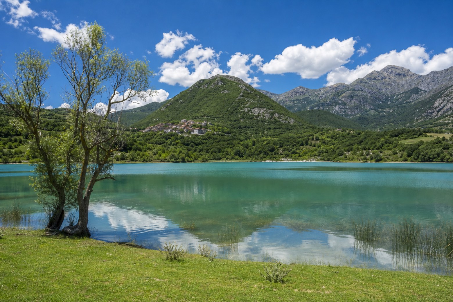 Stage 5
Capracotta → Castel San Vincenzo
challenging- Distance
- 40 km
- Ascent
- 904 m
- Descent
- 1535 m
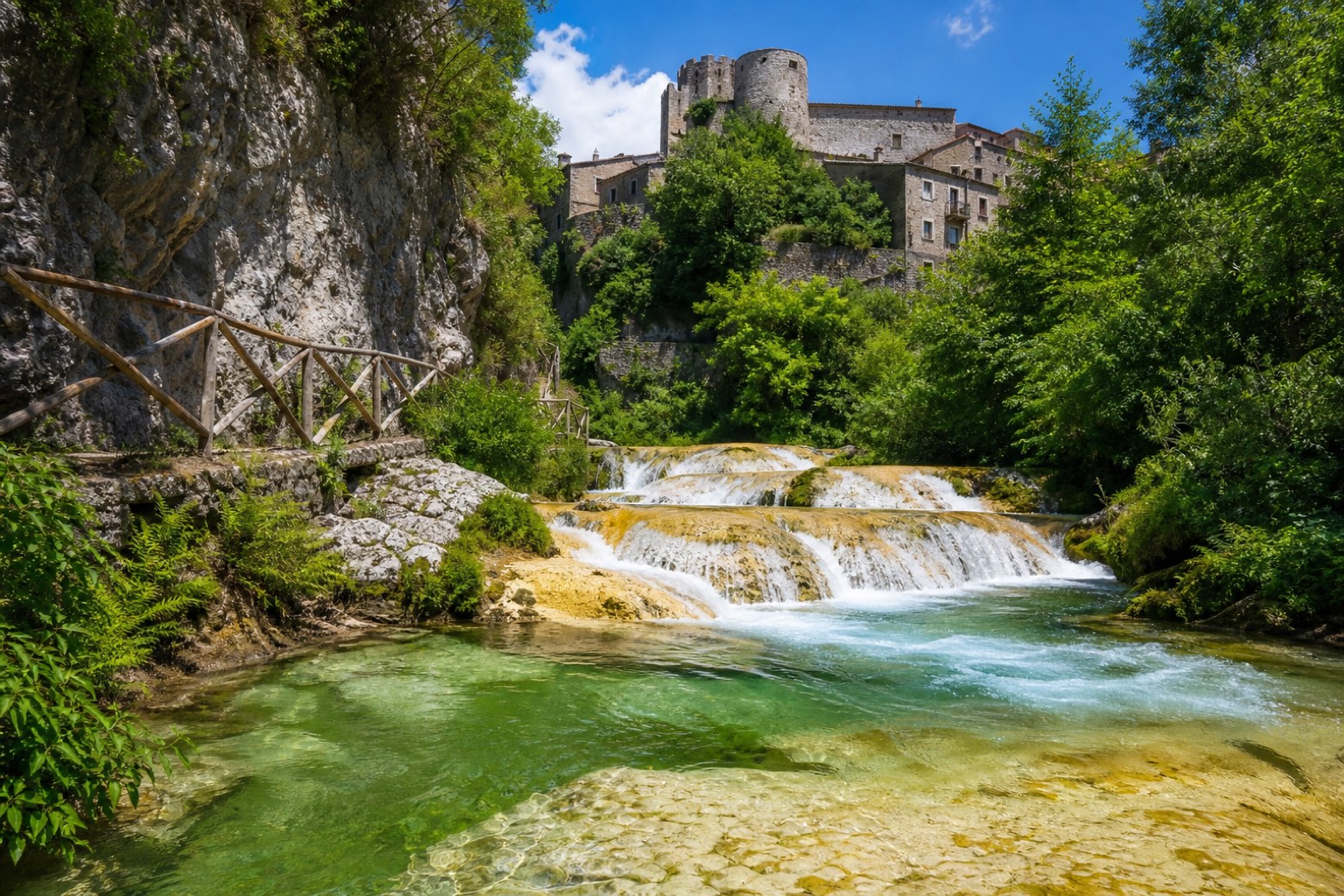 Stage 6
Castel San Vincenzo → Carpinone
challenging- Distance
- 31 km
- Ascent
- 354 m
- Descent
- 545 m
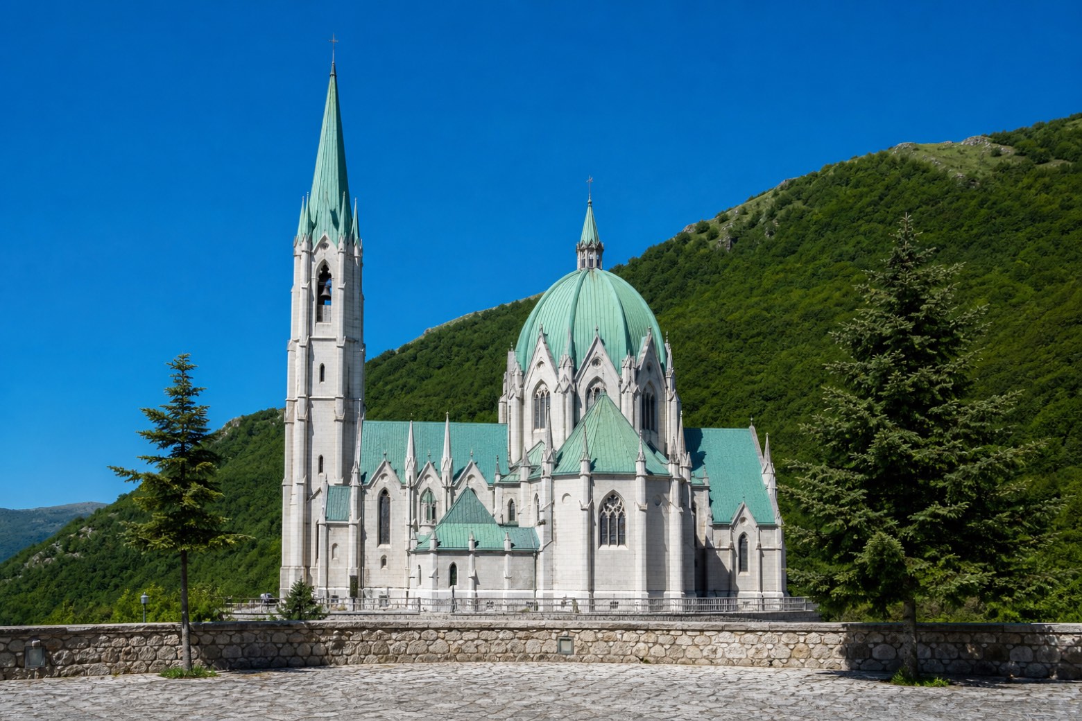 Stage 7
Carpinone → Bojano
challenging- Distance
- 27 km
- Ascent
- 384 m
- Descent
- 410 m
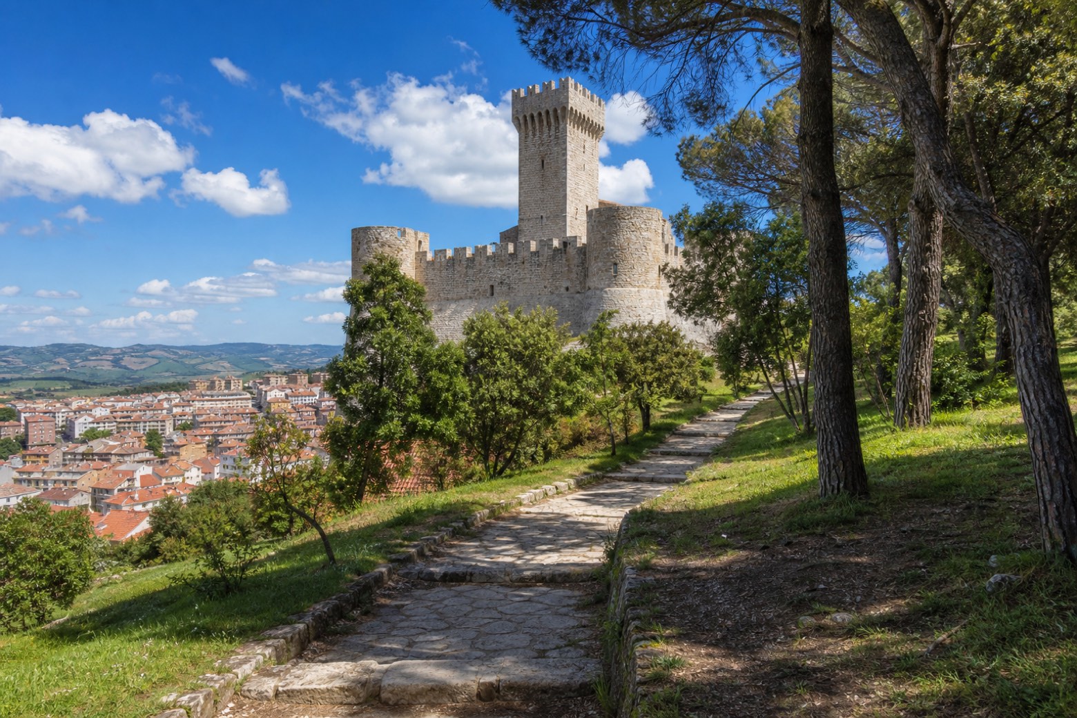 Stage 8
Bojano → Campobasso
challenging- Distance
- 41 km
- Ascent
- 767 m
- Descent
- 547 m
Travel
Find connections for your cammino.
Search trainsMore walks in Italy
Plan your walking trip
How to choose a walking route: stages, days and ascent
Choose a walking route by comparing daily stages, available days, ascent and transport links. Practical planning with examples from the Appy catalogue.
How to plan a walking trip by train and bus
Plan travel to and from your walk: stage endpoints, stations, stops and the connection to the trail. A practical guide to routes and transport with Appy.
Take your walk with you: download Appy
Molise Calling. Explore maps, stages and elevation in the app, and plan your train or bus journey.