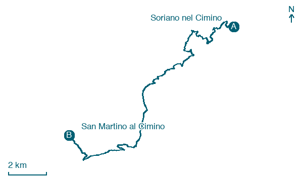
Soriano nel Cimino → San Martino al Cimino
Walking distance 20.2 km
Download Appy for the stage map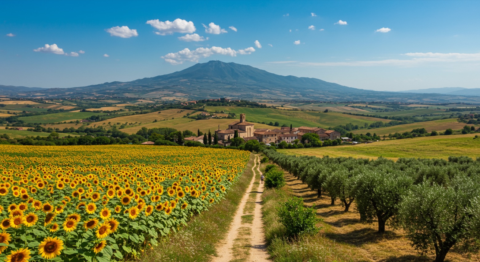
Stage information
- Ascent
- 835 m
- Descent
- 732 m
Difficulty: moderate
Walking the stage
Climb 835 m over 20 km from Soriano nel Cimino to San Martino al Cimino, a demanding stage with a steady ascent.
Before leaving Soriano nel Cimino, locate Castello Orsini on the map. It is close to the starting point.
Look for these places on the stage map: Strada Romana.
What to see on this stage
History and landmarks
Monte Cimino
< 100 m from the trail as the crow flies
Highest peak of the Cimini mountains at 1053 m, wrapped in an ancient beech forest of about 58 hectares, among the most imposing in central Italy. From the top the view reaches the Tiber valley, though trees block it in summer.
Castello Orsini
Castle · 300 m from the trail as the crow flies
Austere castle that grew around a 35 m tower-palace of the early 1200s, enlarged by Pope Nicholas III Orsini in 1277 and 1278. He loved the town and died here two years later.
Nature and landscape
Cimini Hills
700 m from the trail as the crow flies
Map · Soriano nel Cimino → San Martino al Cimino
Take your walk with you: download Appy
Cammino Tuscia 103: Soriano nel Cimino → San Martino al Cimino. Explore maps, stages and elevation in the app, and plan your train or bus journey.

