Cammino delle 44 Chiesette Votive
Friuli-Venezia Giulia, Italy
Italy · Cividale del Friuli, Italy → Cividale del Friuli, Italy
Distance
122 km
Stages
10
Difficulty
moderate
Best months
Apr-Jun, Sep-Oct
Cammino delle 44 Chiesette Votive · Stages and distances
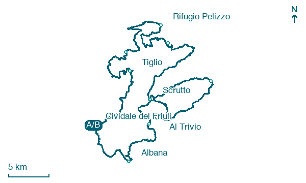
Walking distances for Appy’s stages (10)
| Stage | km |
|---|---|
| 1. Cividale del Friuli → Tiglio | 12.6 |
| 2. Tiglio → Pulfero | 12.6 |
| 3. Pulfero → Rifugio Pelizzo | 13.2 |
| 4. Rifugio Pelizzo → Masseris | 12.7 |
| 5. Masseris → Scrutto | 16.4 |
| 6. Scrutto → Tribil Superiore | 9.9 |
| 7. Tribil Superiore → Al Trivio | 11.1 |
| 8. Al Trivio → Castelmonte | 12.2 |
| 9. Castelmonte → Albana | 11 |
| 10. Albana → Cividale del Friuli | 9.8 |
| Total | 121.5 |
About
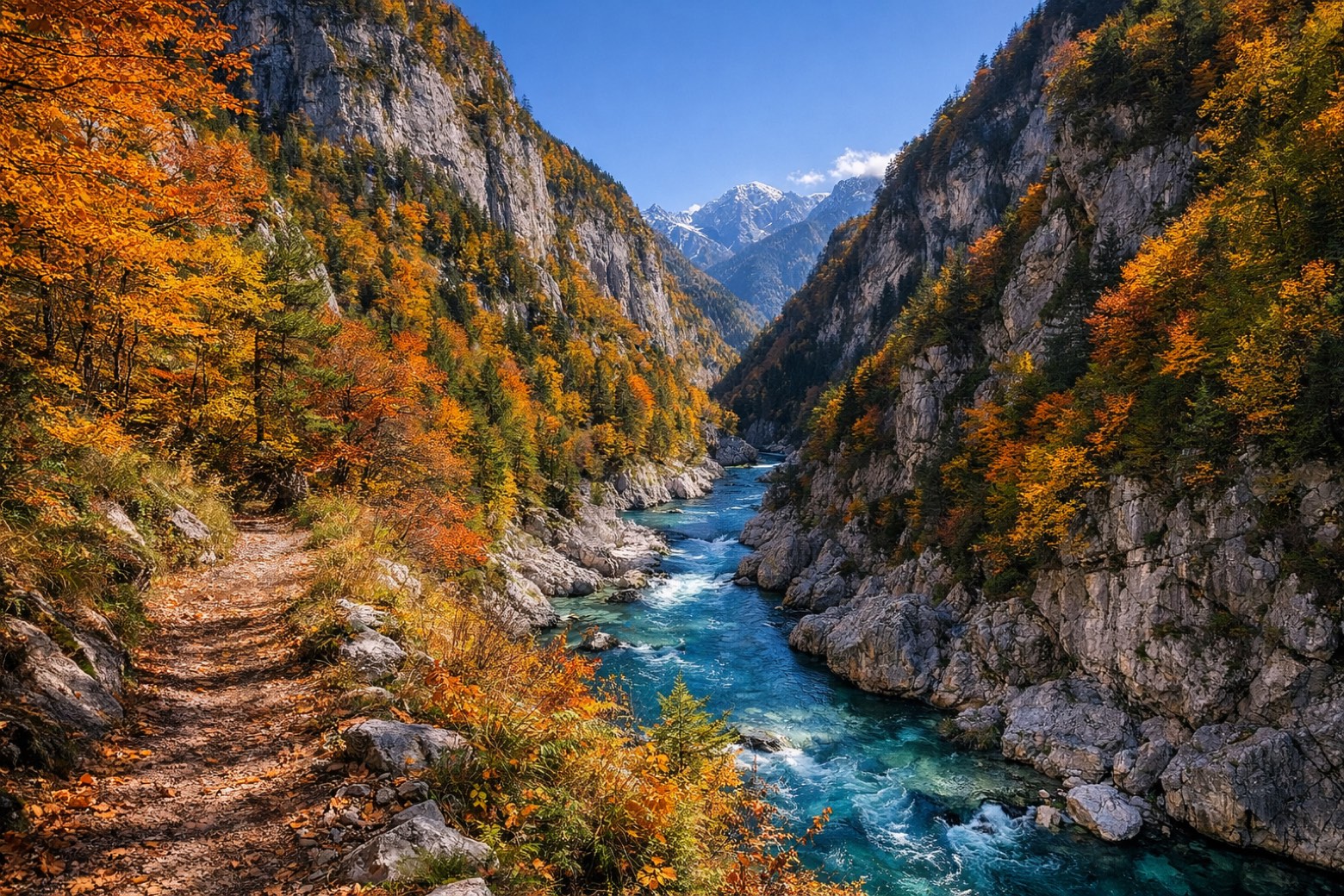
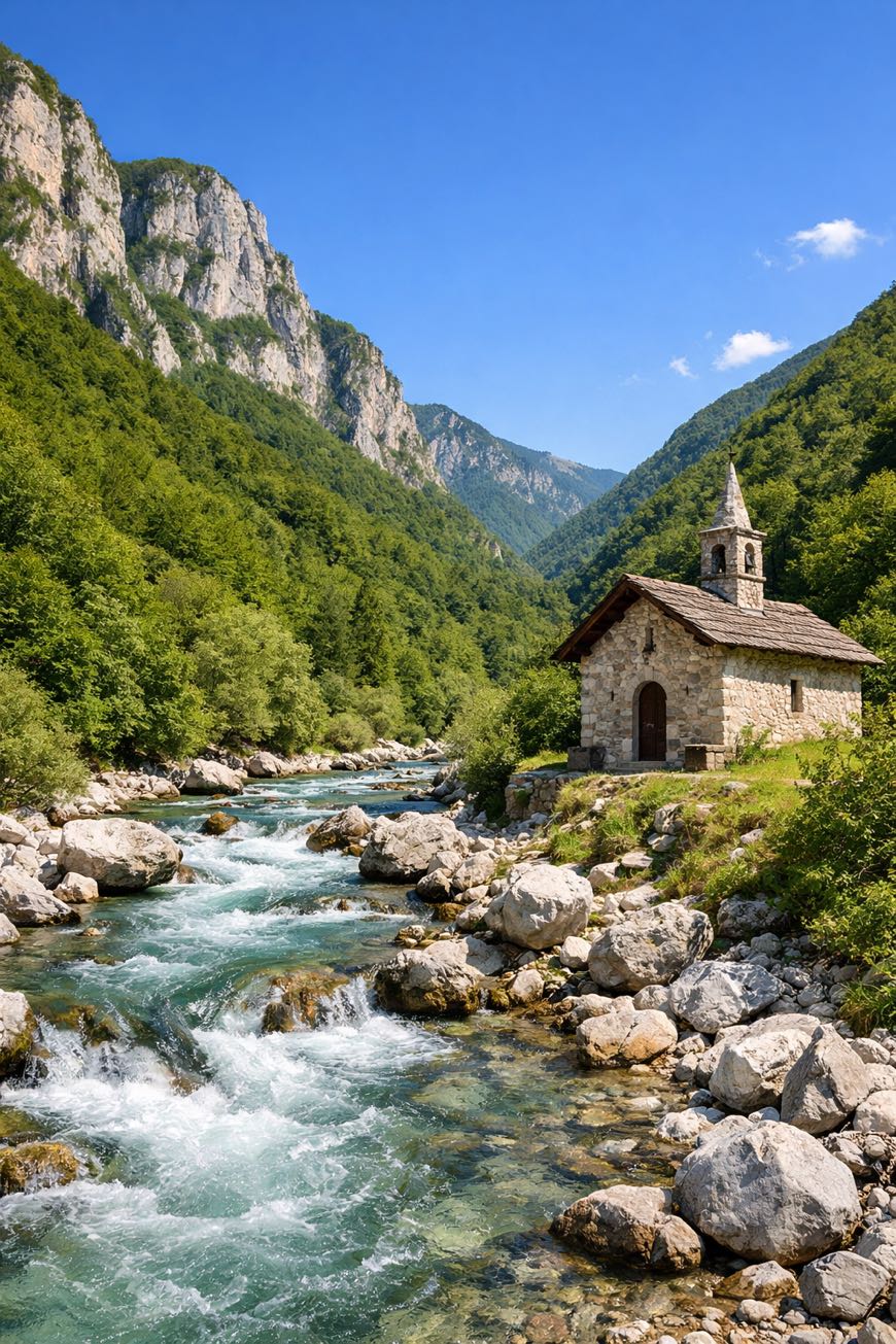
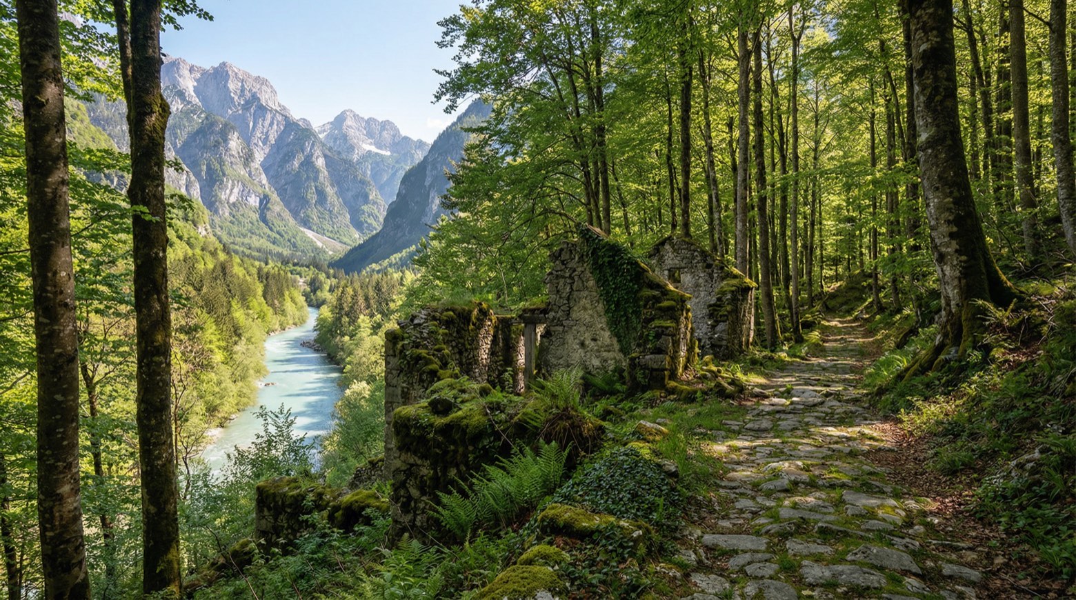
Cividale del Friuli, where medieval architecture whispers stories, marks the start and finish of the Cammino delle 44 Chiesette Votive. Spanning about 120 km, this cultural walk weaves through rolling hills and serene valleys, encountering 44 votive chapels that echo local traditions.
From Sanguarzo to Merso di Sotto, each stage reveals a new facet of Friuli Venezia Giulia’s rich . With an elevation gain of 4,430 meters, it’s a journey for beginners and seasoned walkers alike.
Best from April to June or September to October, the chapels stand as quiet witnesses to centuries of heritage.
Stages
10 stages
 Stage 1
- Distance
- 13 km
- Ascent
- 126 m
- Descent
- 65 m
 Stage 2
Tiglio → Pulfero
easy- Distance
- 13 km
- Ascent
- 511 m
- Descent
- 513 m
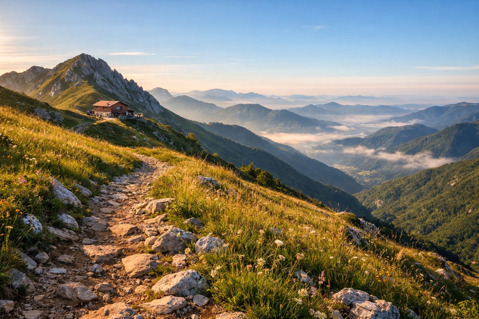 Stage 3
Pulfero → Rifugio Pelizzo
challenging- Distance
- 13 km
- Ascent
- 1232 m
- Descent
- 66 m
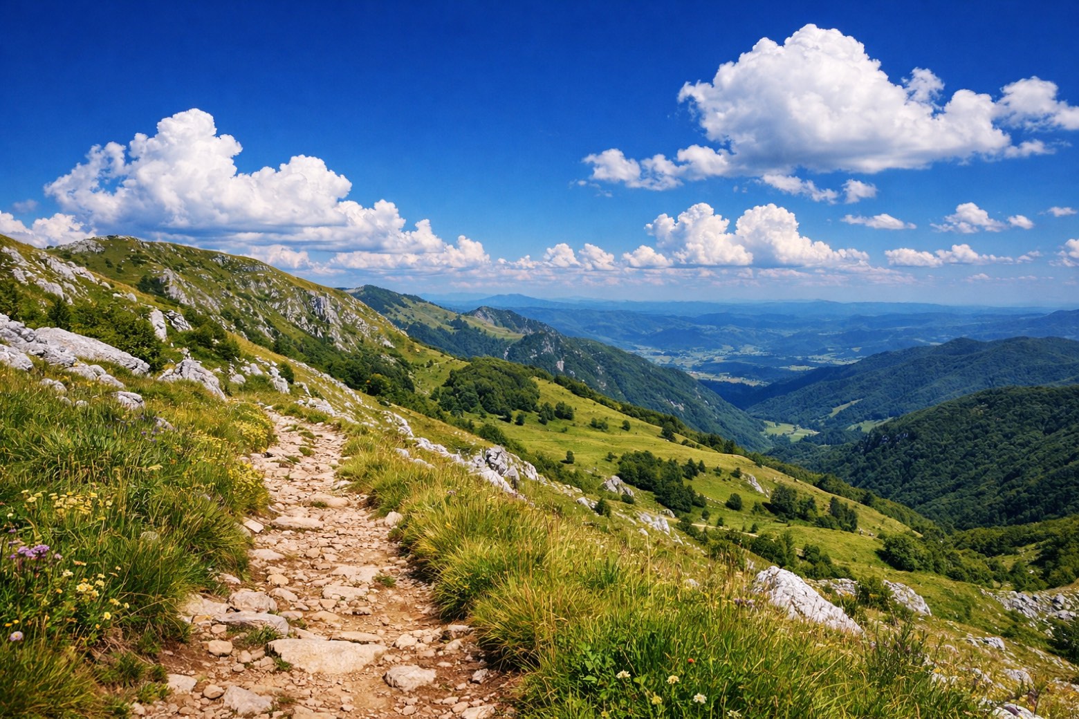 Stage 4
Rifugio Pelizzo → Masseris
moderate- Distance
- 13 km
- Ascent
- 148 m
- Descent
- 697 m
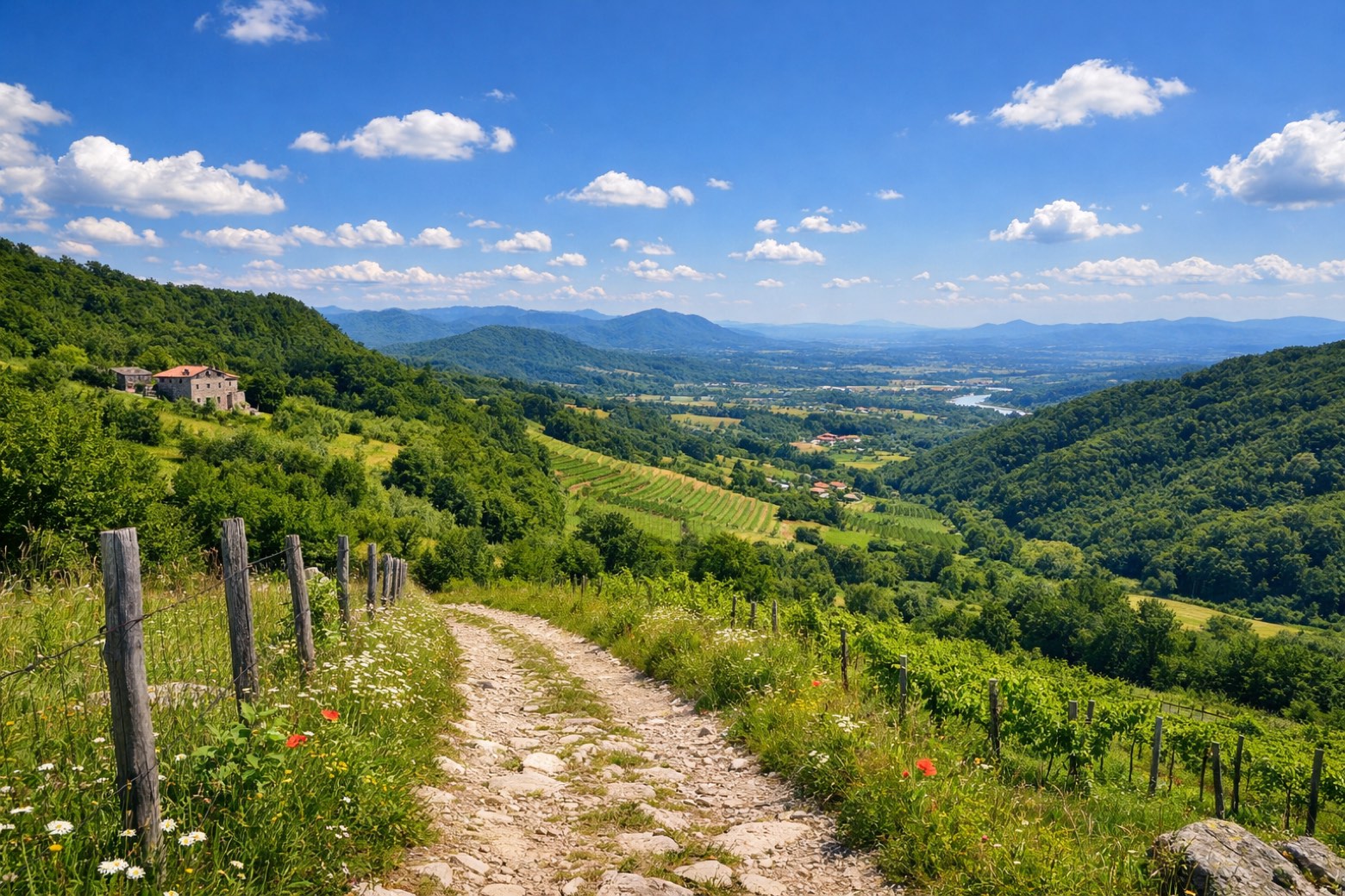 Stage 5
Masseris → Scrutto
moderate- Distance
- 16 km
- Ascent
- 504 m
- Descent
- 1070 m
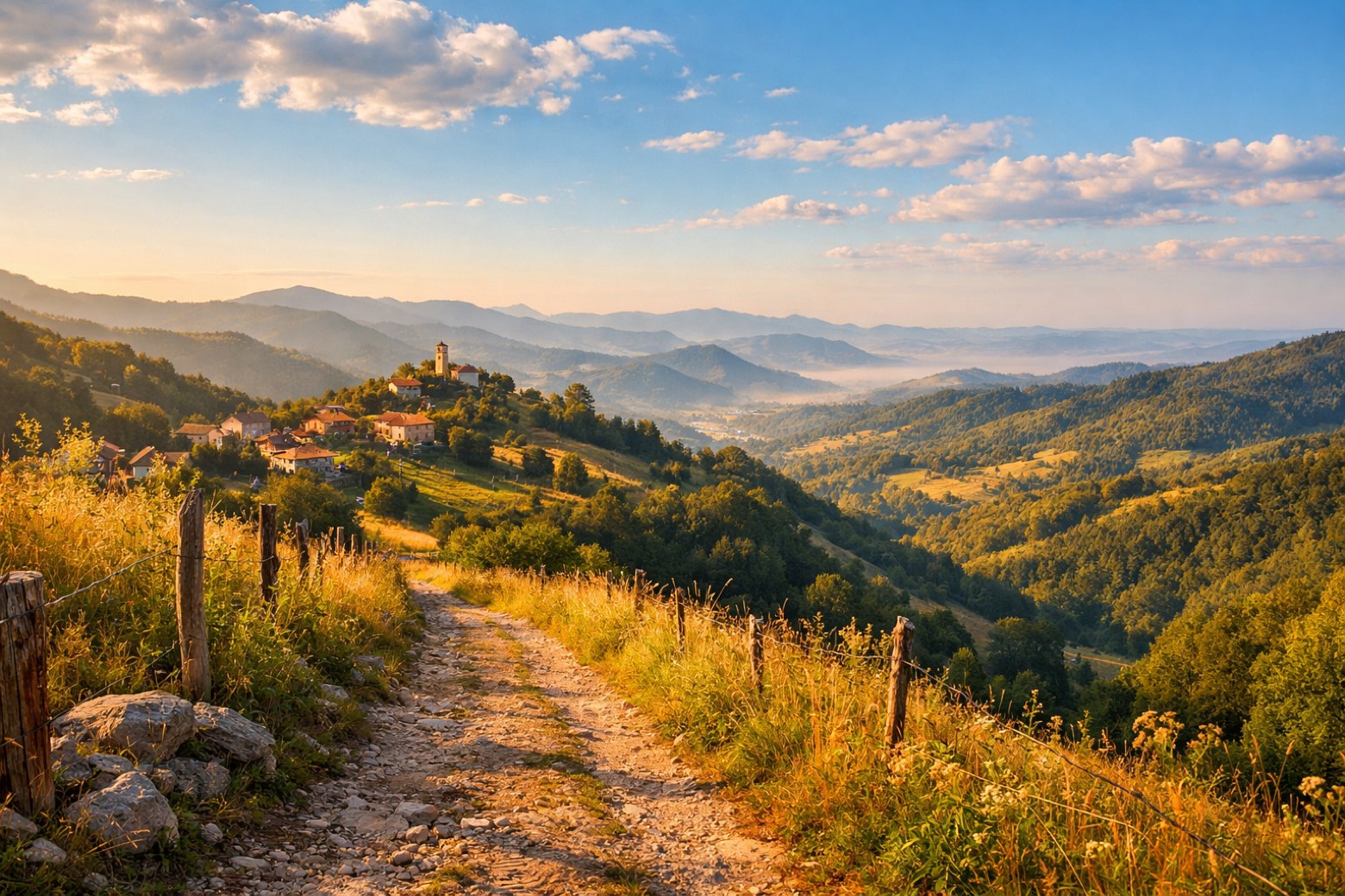 Stage 6
Scrutto → Tribil Superiore
moderate- Distance
- 10 km
- Ascent
- 521 m
- Descent
- 66 m
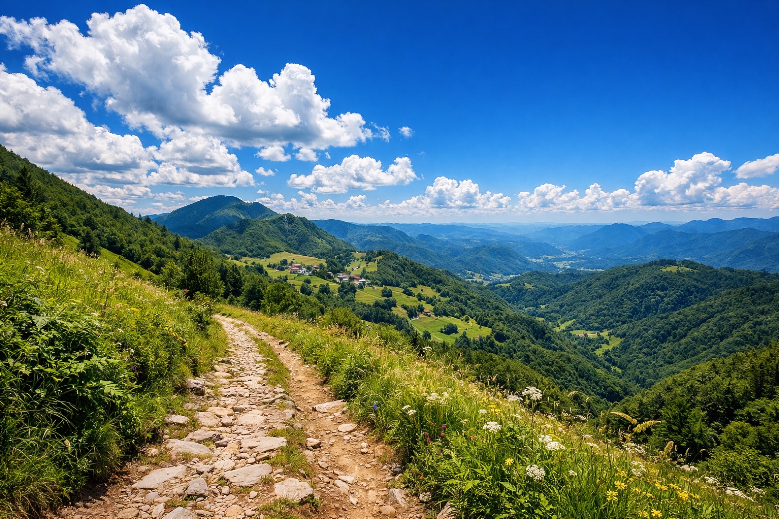 Stage 7
- Distance
- 11 km
- Ascent
- 185 m
- Descent
- 212 m
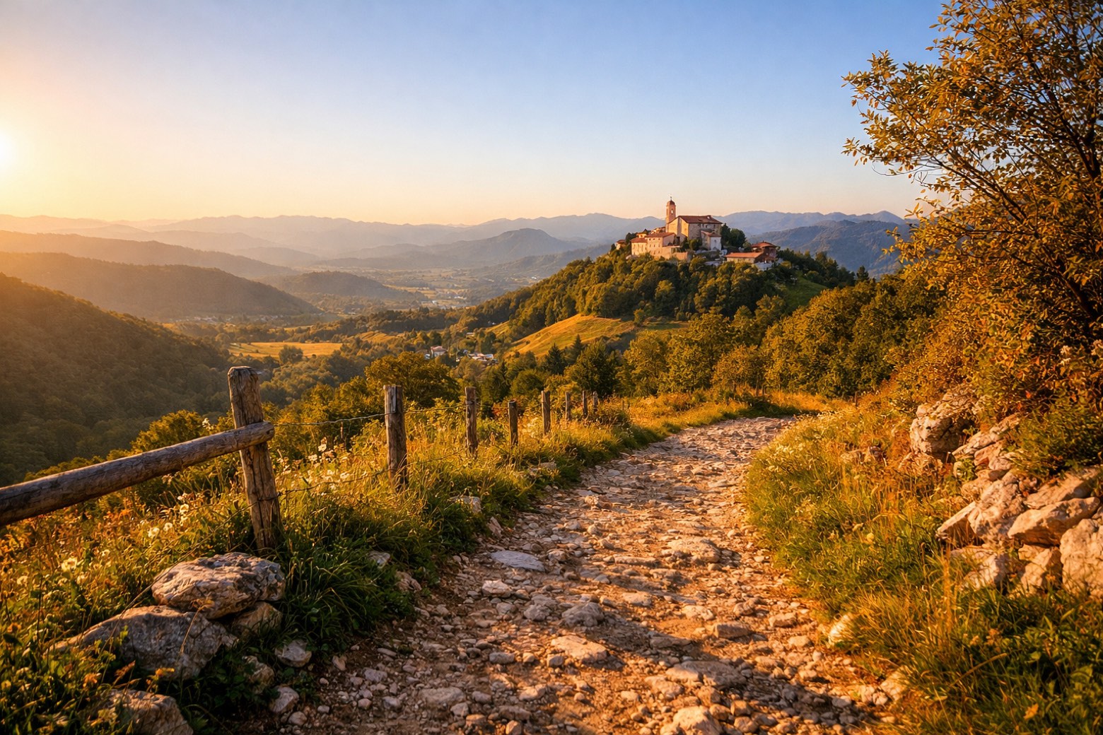 Stage 8
Al Trivio → Castelmonte
moderate- Distance
- 12 km
- Ascent
- 452 m
- Descent
- 442 m
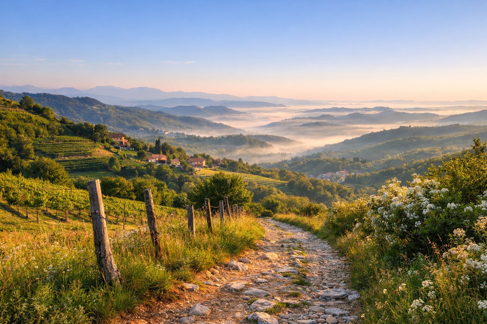 Stage 9
- Distance
- 11 km
- Ascent
- 24 m
- Descent
- 512 m
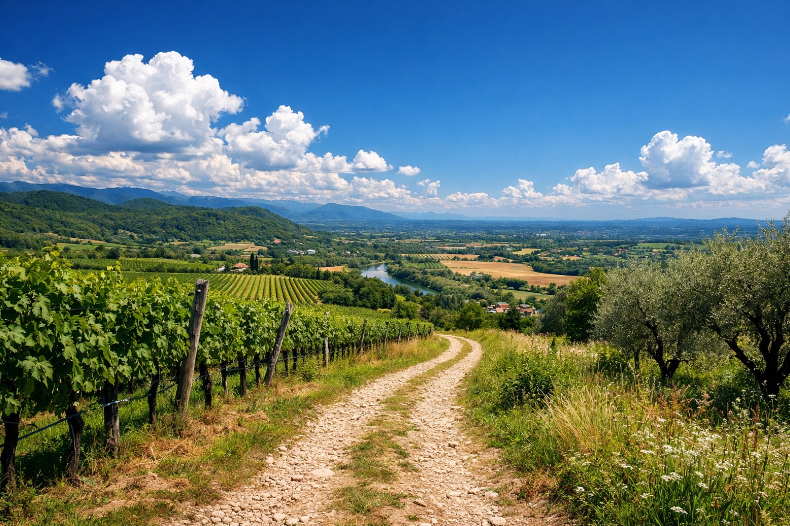 Stage 10
- Distance
- 10 km
- Ascent
- 52 m
- Descent
- 57 m
Points of interest
- Palazzo de Nordis
Palace, in Cividale del Friuli, Italy, designated as Italian national heritage.
- Castle of Zuccola
Castle, in Cividale del Friuli, Italy, designated as Italian national heritage.
- Castle of Orzone
Castle, in Cividale del Friuli, Italy, designated as Italian national heritage.
- Ponte del Diavolo
The symbol of Cividale: a stone bridge begun in 1442, 22.5 metres high, whose two unequal arches rest on a natural boulder in the Natisone gorge.
- Church of San Francesco
Church in Romanesque style, dedicated to Francis of Assisi, in Cividale del Friuli, Italy.
- Chiesa di San Francesco
Church of San Francesco. Church, in Cividale del Friuli, Italy, designated as Italian national heritage.
- Santa Maria di Corte (Cividale del Friuli)
Church, dedicated to Mary, in Cividale del Friuli, Italy.
- San Martino
Church in Neoclassicism style, dedicated to Martin of Tours, in Cividale del Friuli, Italy.
Travel
Find connections for your cammino.
Search trainsMore walks in Italy
Plan your walking trip
All articles and guidesHow to choose a walking route: stages, days and ascent
How many days can you actually spend walking? Start there, then choose stages that leave you time to stop along the way.
How to plan a walking trip by train and bus
Two different stations, a last bus and a backpack. Fit the journeys out and home around the days you want to spend walking.
Take your walk with you: download Appy
Cammino delle 44 Chiesette Votive. Explore maps, stages and elevation in the app, and plan your train or bus journey.

