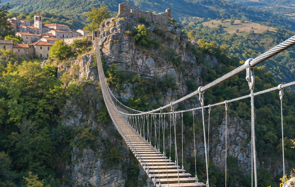
Il Cammino del Melandro
Basilicata, Italy
Italy · Lago Pantano di Pignola → Lago Pantano di Pignola
Distance
119 km
Stages
6
Difficulty
moderate
Il Cammino del Melandro · Stages and distances
Walking distances for Appy’s stages (6)
| Stage | km |
|---|---|
| 1. Lago Pantano di Pignola → Satriano di Lucania | 21.9 |
| 2. Satriano di Lucania → Savoia di Lucania | 16.8 |
| 3. Savoia di Lucania → Sant’Angelo Le Fratte | 13 |
| 4. Sant’Angelo Le Fratte → Atena Lucana | 20.4 |
| 5. Atena Lucana → Sasso di Castalda | 26.6 |
| 6. Sasso di Castalda → Lago Pantano di Pignola | 20.5 |
| Total | 119.2 |
About
From the reed beds of Lago Pantano di Pignola, this loop crosses the Melandro valley between Basilicata and Campania. In Satriano, murals tell village stories; in Sant’Angelo Le Fratte, old cellar doors open straight into the rock.
Stages
6 stages
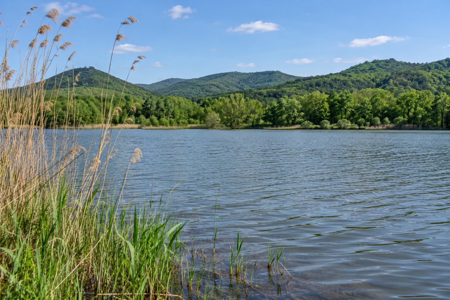 Stage 1
- Distance
- 22 km
- Ascent
- 768 m
- Descent
- 881 m
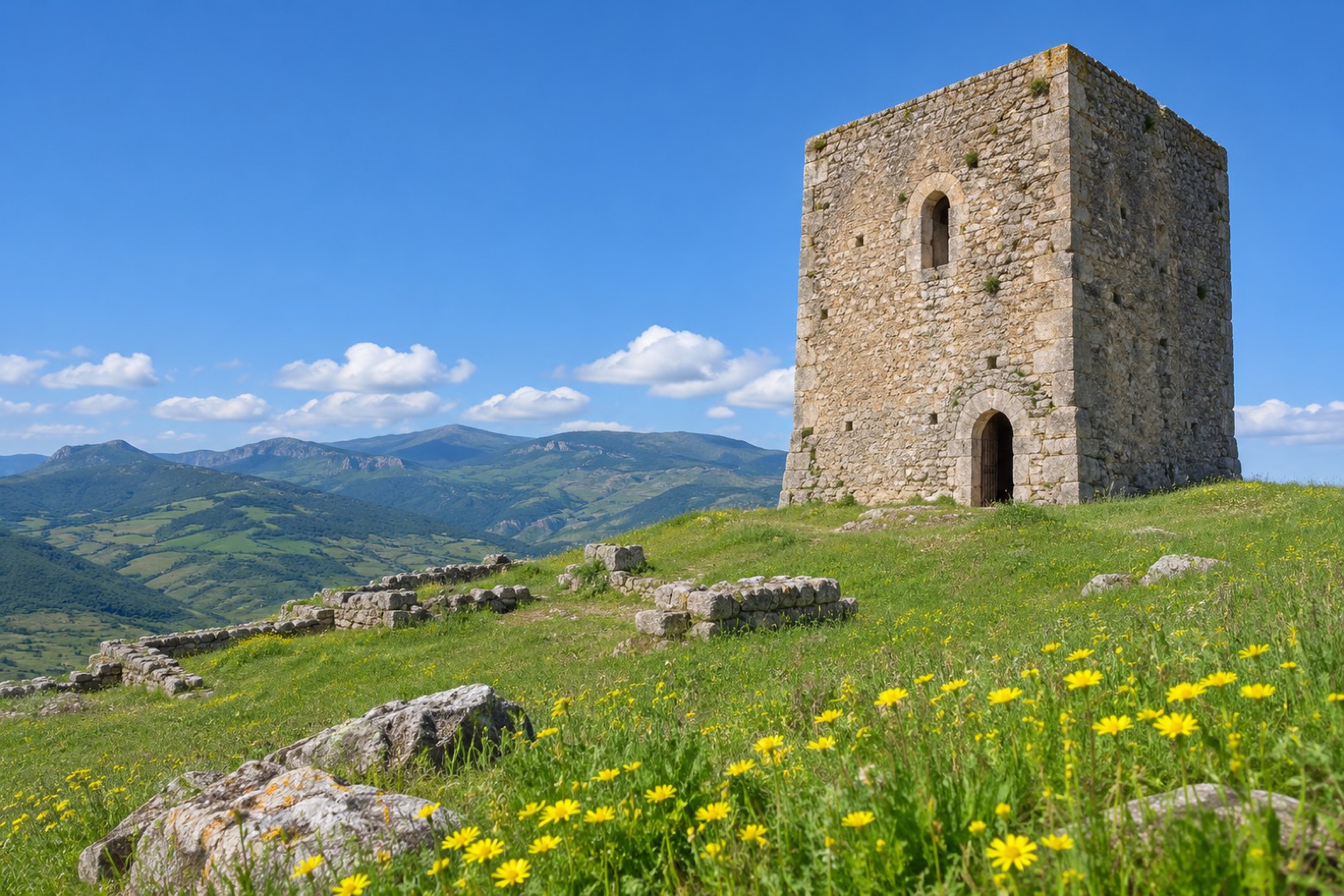 Stage 2
- Distance
- 17 km
- Ascent
- 499 m
- Descent
- 448 m
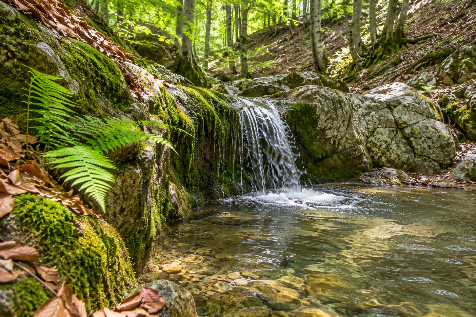 Stage 3
- Distance
- 13 km
- Ascent
- 409 m
- Descent
- 564 m
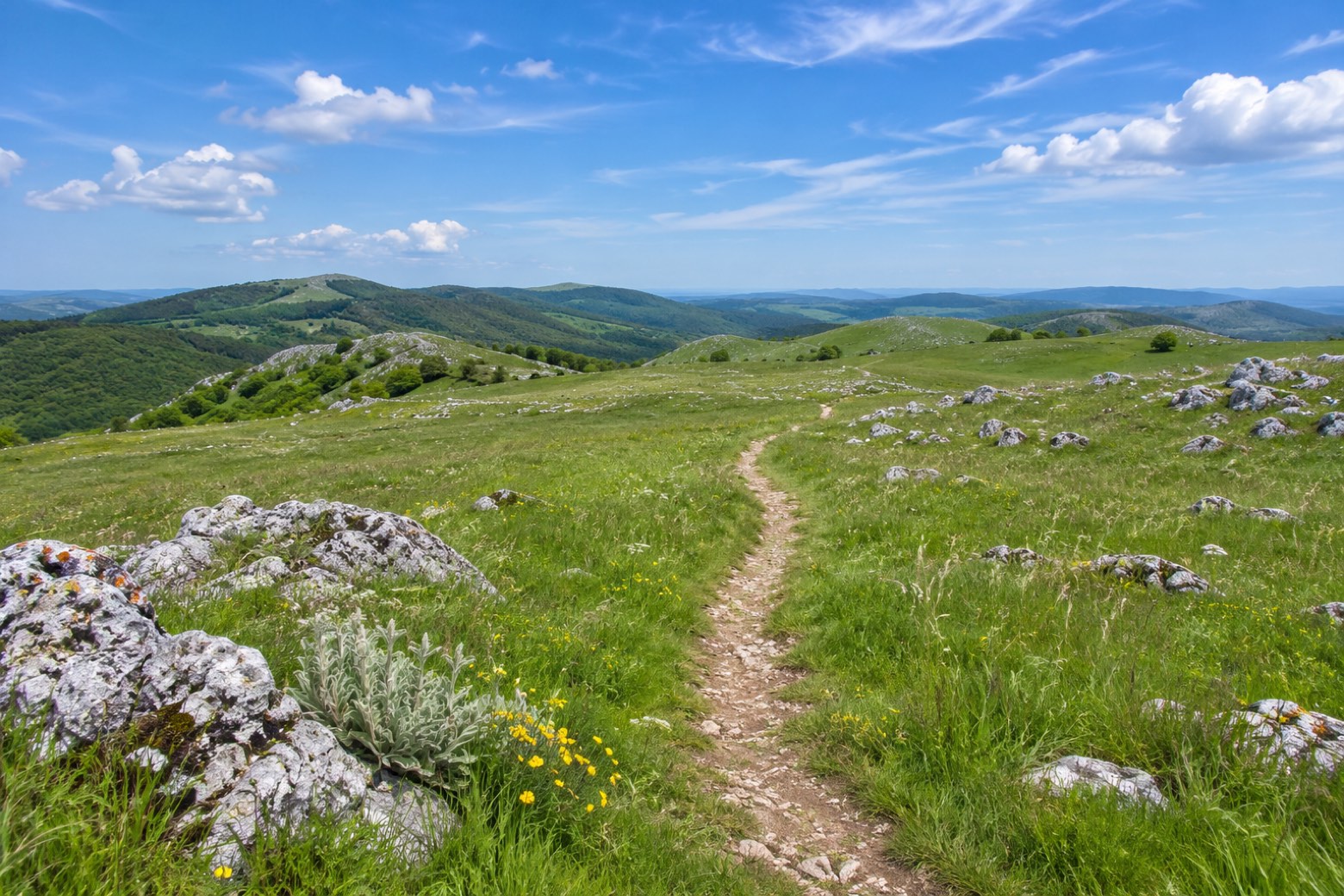 Stage 4
Sant’Angelo Le Fratte → Atena Lucana
challenging- Distance
- 20 km
- Ascent
- 978 m
- Descent
- 908 m
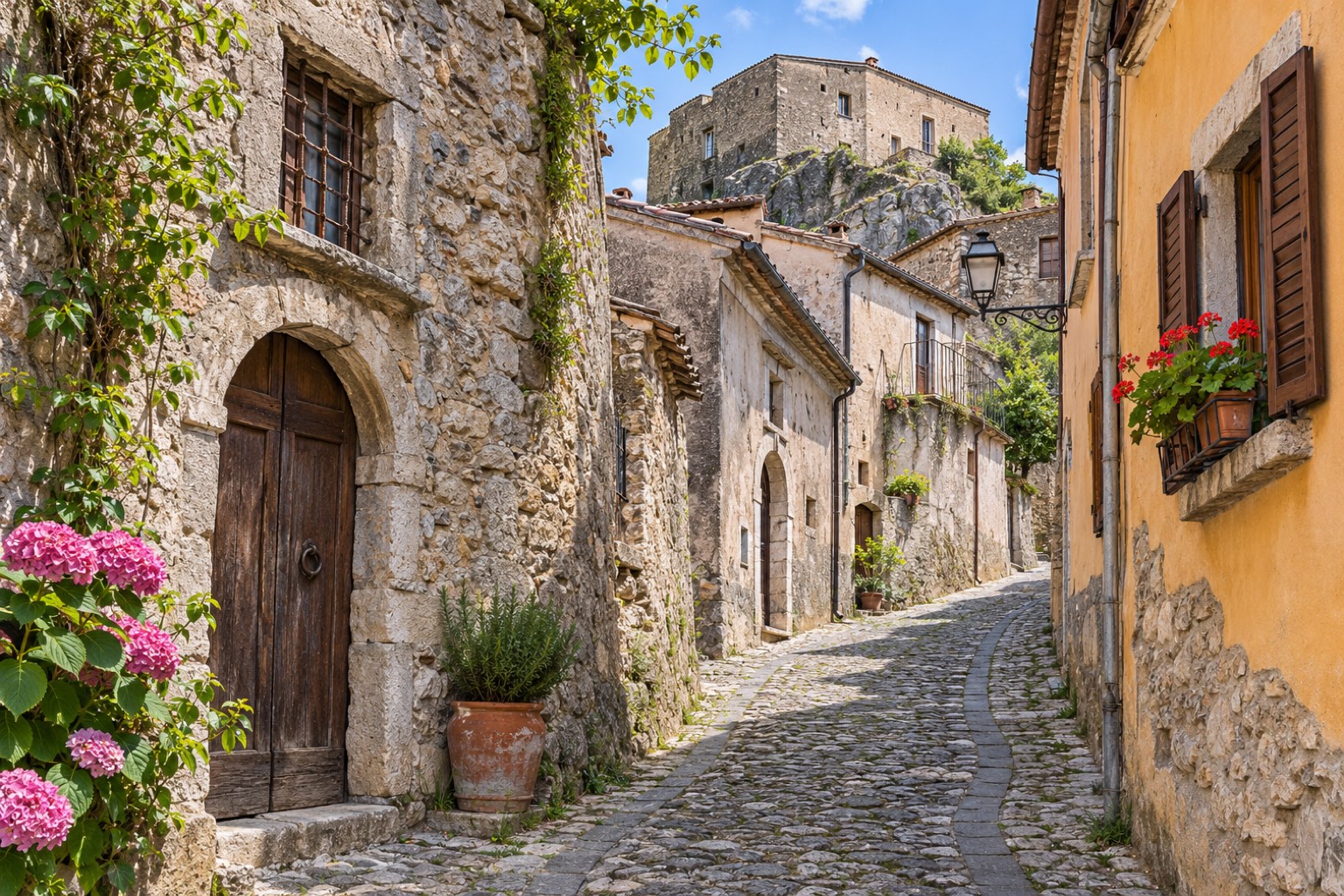 Stage 5
Atena Lucana → Sasso di Castalda
challenging- Distance
- 27 km
- Ascent
- 1035 m
- Descent
- 736 m
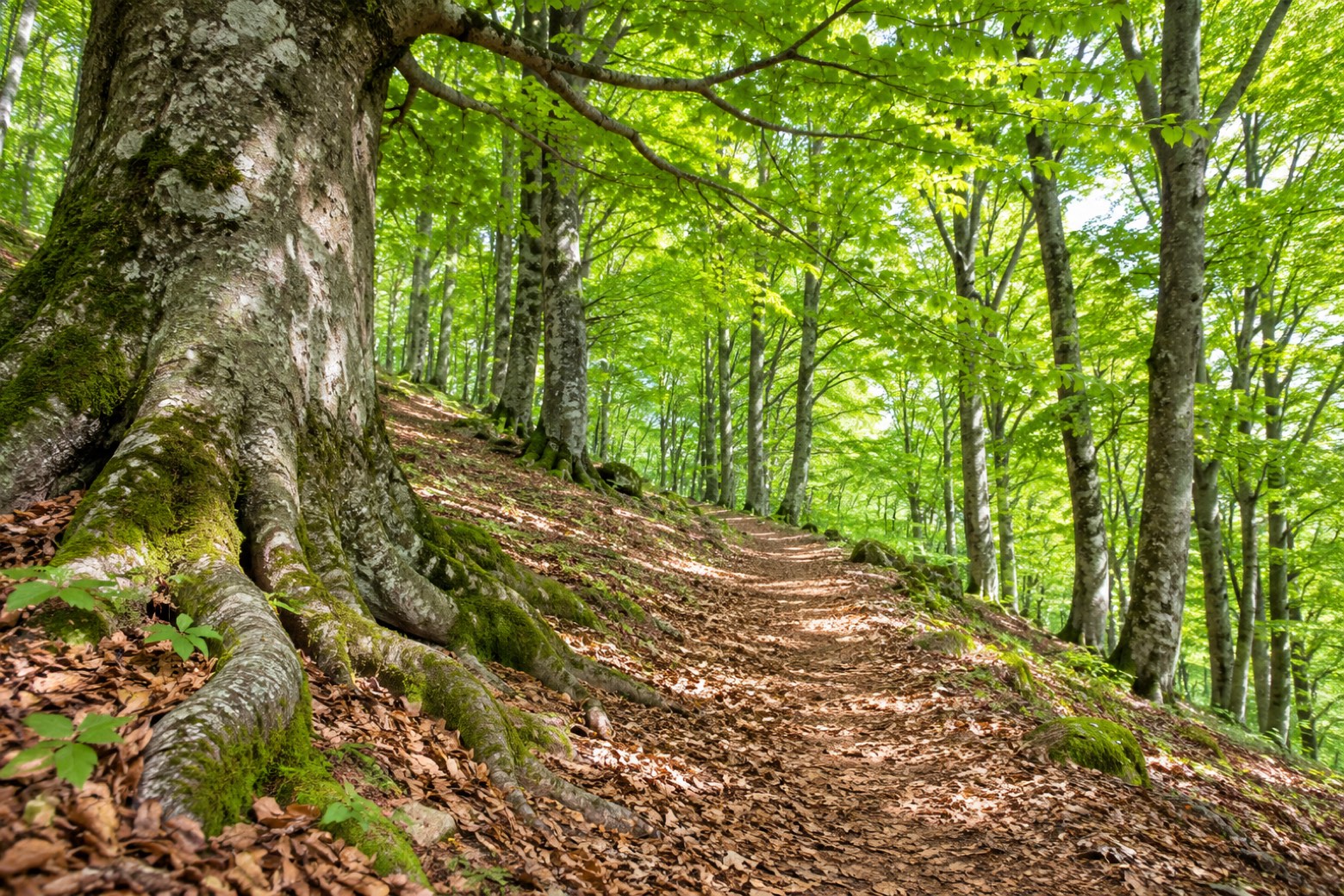 Stage 6
- Distance
- 20 km
- Ascent
- 677 m
- Descent
- 801 m
Travel
Find connections for your cammino.
Search trainsMore walks in Italy
Plan your walking trip
All articles and guidesHow to choose a walking route: stages, days and ascent
How many days can you actually spend walking? Start there, then choose stages that leave you time to stop along the way.
How to plan a walking trip by train and bus
Two different stations, a last bus and a backpack. Fit the journeys out and home around the days you want to spend walking.
Take your walk with you: download Appy
Il Cammino del Melandro. Explore maps, stages and elevation in the app, and plan your train or bus journey.

