Lago Pantano di Pignola → Satriano di Lucania
Walking distance 21.9 km
Download Appy for the stage map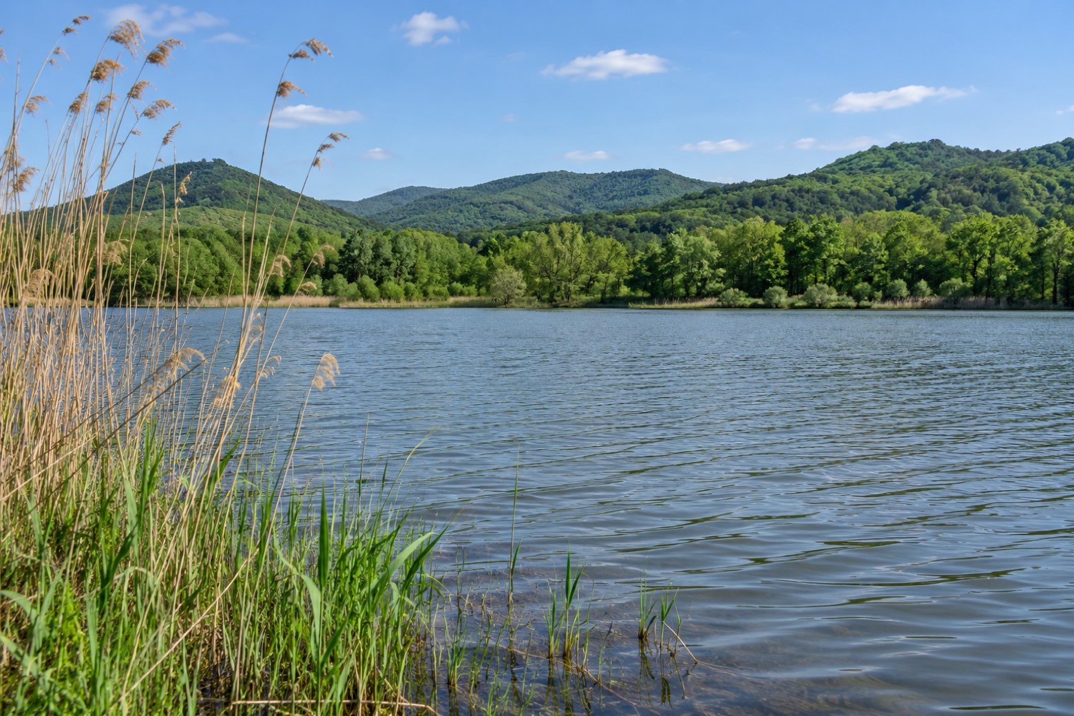
Stage information
- Ascent
- 768 m
- Descent
- 881 m
Difficulty: moderate
Walking the stage
Leave the lake wetland and climb into the woods towards Rifugio della Casermetta. Beyond Schieda d’Asino, the descent through Bosco Ralle leads towards Satriano di Lucania.
On arrival in Satriano di Lucania, consider a stop at Museo Satriano le origini, close to the finish.
What to see on this stage
History and landmarks
Museo Satriano le origini
Museum · 400 m from the trail as the crow flies
Town hall of Satriano di Lucania
Palace · 500 m from the trail as the crow flies
Nature and landscape
Cerro di Casermetta, Tito
Monumental tree · < 100 m from the trail as the crow flies
Italy’s monumental tree register identifies this specimen as Quercus cerris L. It records a height of 20 m and a trunk circumference of 380 cm.
Faggio di Valle Piano Marino, Tito
Monumental tree · 800 m from the trail as the crow flies
Italy’s monumental tree register identifies this specimen as Fagus sylvatica L. It records a height of 23 m and a trunk circumference of 480 cm.
Take your walk with you: download Appy
Il Cammino del Melandro: Lago Pantano di Pignola → Satriano di Lucania. Explore maps, stages and elevation in the app, and plan your train or bus journey.

