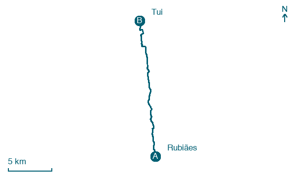
Rubiães → Tui
Walking distance 18.4 km
Download Appy for the stage map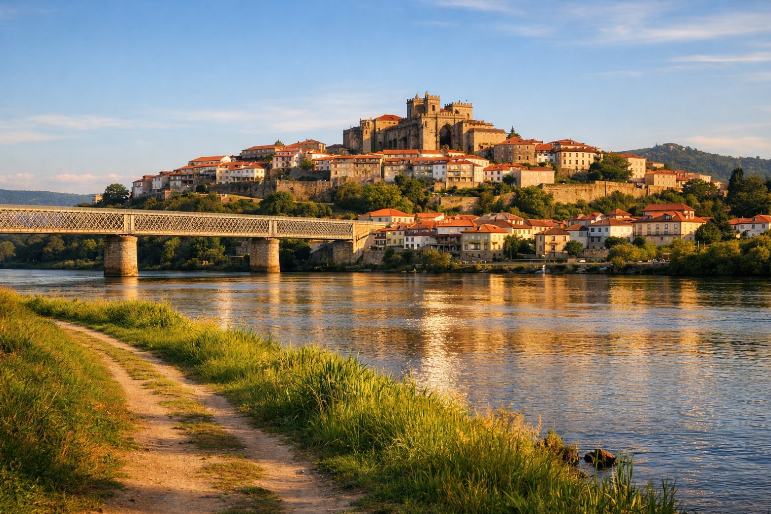
Stage information
- Ascent
- 174 m
- Descent
- 356 m
Difficulty: moderate (estimated)
Walking the stage
Head 18 km from Rubiães to Tui through Linhares, Fontoura and Cerdal, with only 174 m of ascent.
On arrival in Tui, consider a stop at International bridge Tui - Valença, close to the finish.
Look for these places on the stage map: Cossourado, Fontoura, Formigosa, and Valença.
What to see on this stage
History and landmarks
International bridge Tui - Valença
Bridge · 700 m from the trail as the crow flies
20th-century bridge, in Tui, Portugal, at 15 m elevation, built in reinforced concrete.
Catedral de Santa María de Tuy
Cathedral · 1.2 km from the trail as the crow flies
A late Romanesque cathedral with a Gothic west front, whose main gate is thought to be the first Gothic sculpture group on the Iberian Peninsula, by French stonemasons. A portico of about 1250 reaches out to the square.
Nature and landscape
Forte da Cidade
Summit · 800 m from the trail as the crow flies
Map · Rubiães → Tui
Take your walk with you: download Appy
Camino Portugues Central (Spain section): Rubiães → Tui. Explore maps, stages and elevation in the app, and plan your train or bus journey.

