Tappa 27 · Cammino Minerario di Santa Barbara
Carloforte → Capo Sandalo
Informazioni sulla tappa
DISTANZA: 15 km
Dislivello positivo: 642 m
Dislivello negativo: 570 m
Difficoltà: Moderato. Valutazione indicata nel catalogo.
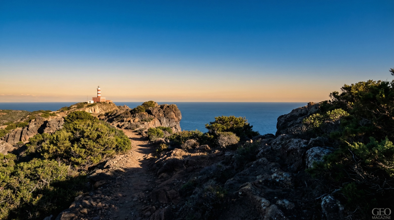
This walk of about 15 km crosses the volcanic island from Carloforte through vineyards and windswept gardens shaped by nearly 300 years of Ligurian Tabarkin settlement. It reaches pine covered slopes and the cliffs between Capo Becco and Capo Sandalo, past old ore cart tracks and the former ochre and manganese mines of Becco. The Region lists this stage as not walkable in parts: check conditions first.
Vedi tutte le tappe del Cammino Minerario di Santa Barbara
Porta il cammino con te: scarica Appy
Cammino Minerario di Santa Barbara: Carloforte → Capo Sandalo. Consulta mappe, tappe e dislivelli nell’app e organizza il viaggio in treno o autobus.