Via Francigena del Sud (tratta Laziale)
Lazio, Italy
Italy · Roma, Italy → Teano, Italy
Distance
261 km
Stages
13
Difficulty
moderate
Best months
Apr-Jun, Sep-Oct
About
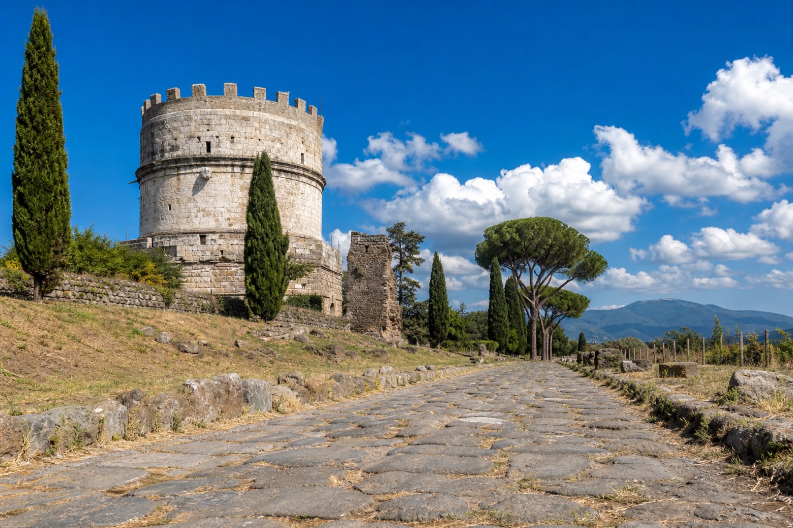
The Via Francigena del Sud leaves Rome on the Via Appia Antica and heads south toward the Holy Land ports, and this Lazio stretch follows it to Teano, just over the border in Campania. It climbs through the Castelli Romani and the Monti Lepini, past the Cistercian abbeys of Valvisciolo and Fossanova, then drops to the sea at Terracina and runs along the coast of Gaeta and Formia.
Long sections walk on original Roman paving, and the stages end in hill towns, abbeys, seaside boroughs and Roman ruins. About 260 km on foot.
Stages
13 stages
- Stage 1
Roma → Albano Laziale
challengingDistance29 kmAscent419 mDescent75 m 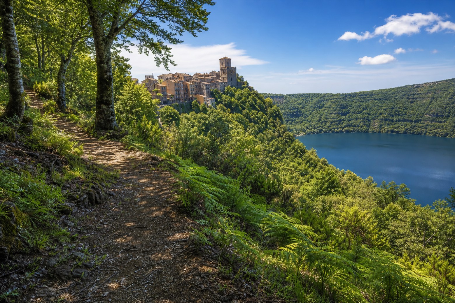 Stage 2
Albano Laziale → Velletri
moderateDistance19 kmAscent481 mDescent516 m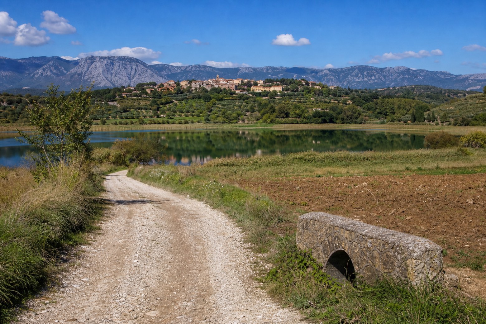 Stage 3
Velletri → Cori
moderateDistance20 kmAscent265 mDescent228 m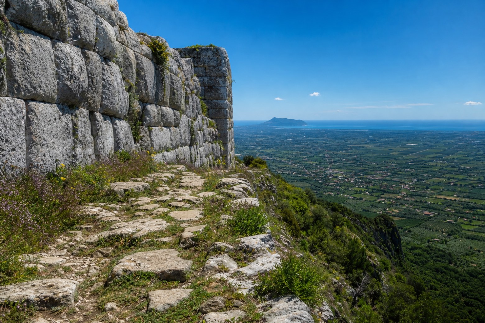 Stage 4
Cori → Sermoneta
moderateDistance20 kmAscent502 mDescent658 m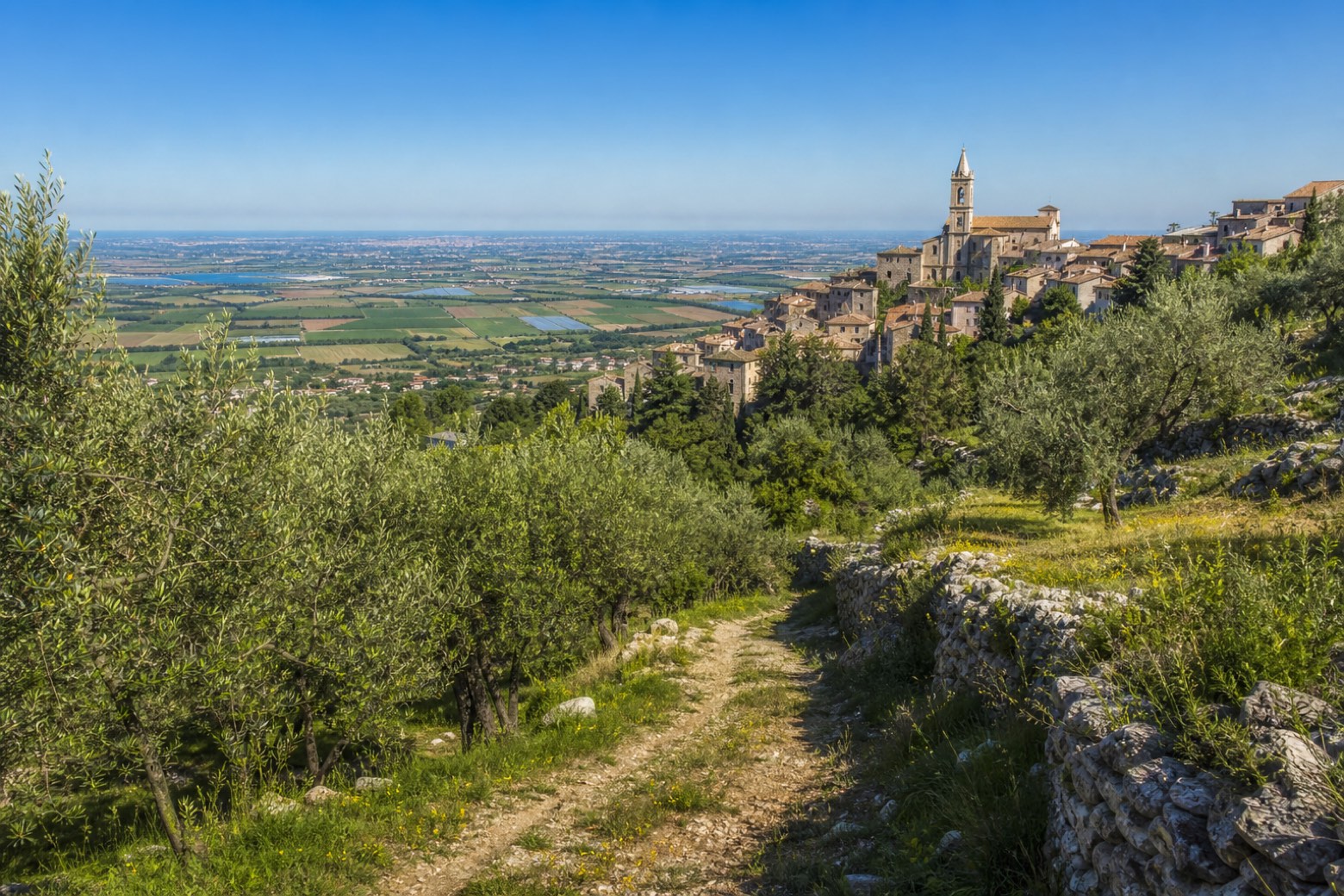 Stage 5
Sermoneta → Sezze
easyDistance11 kmAscent269 mDescent199 m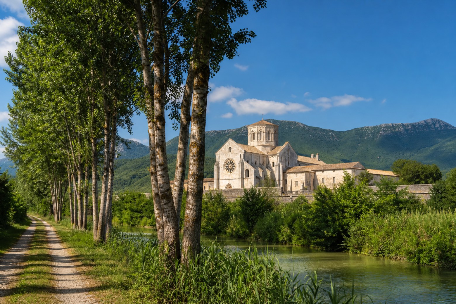 Stage 6
Sezze → Abbazia di Fossanova
moderateDistance21 kmAscent170 mDescent440 m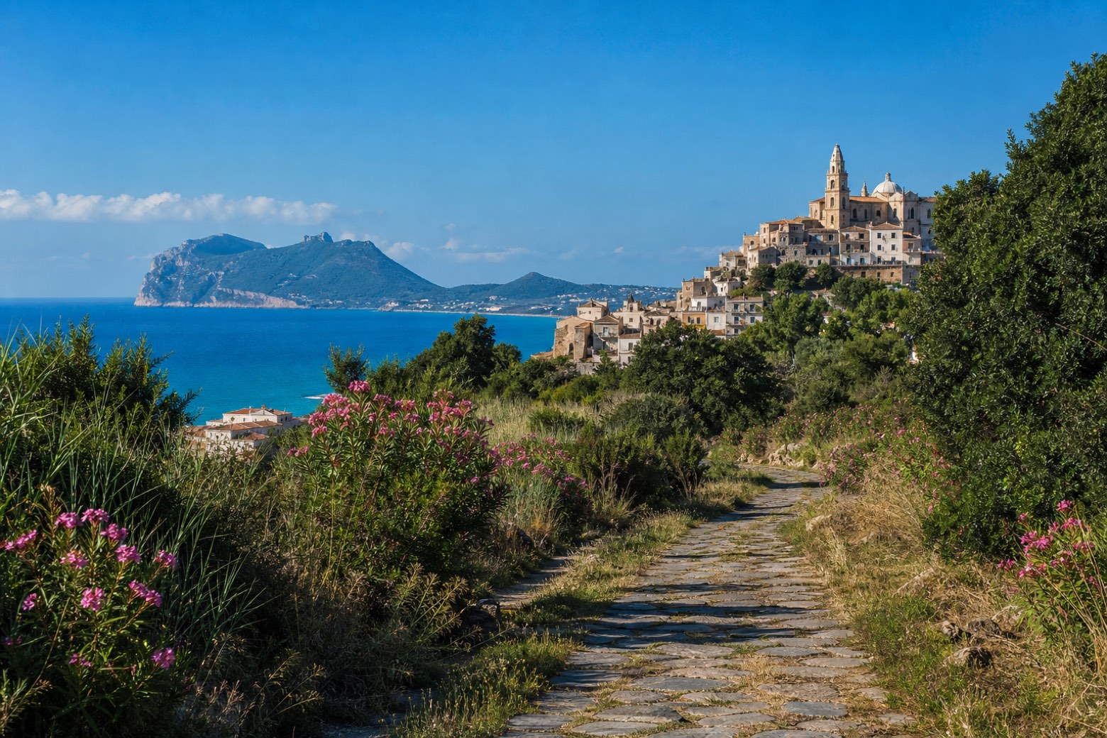 Stage 7
Abbazia di Fossanova → Terracina
moderateDistance21 kmAscent63 mDescent46 m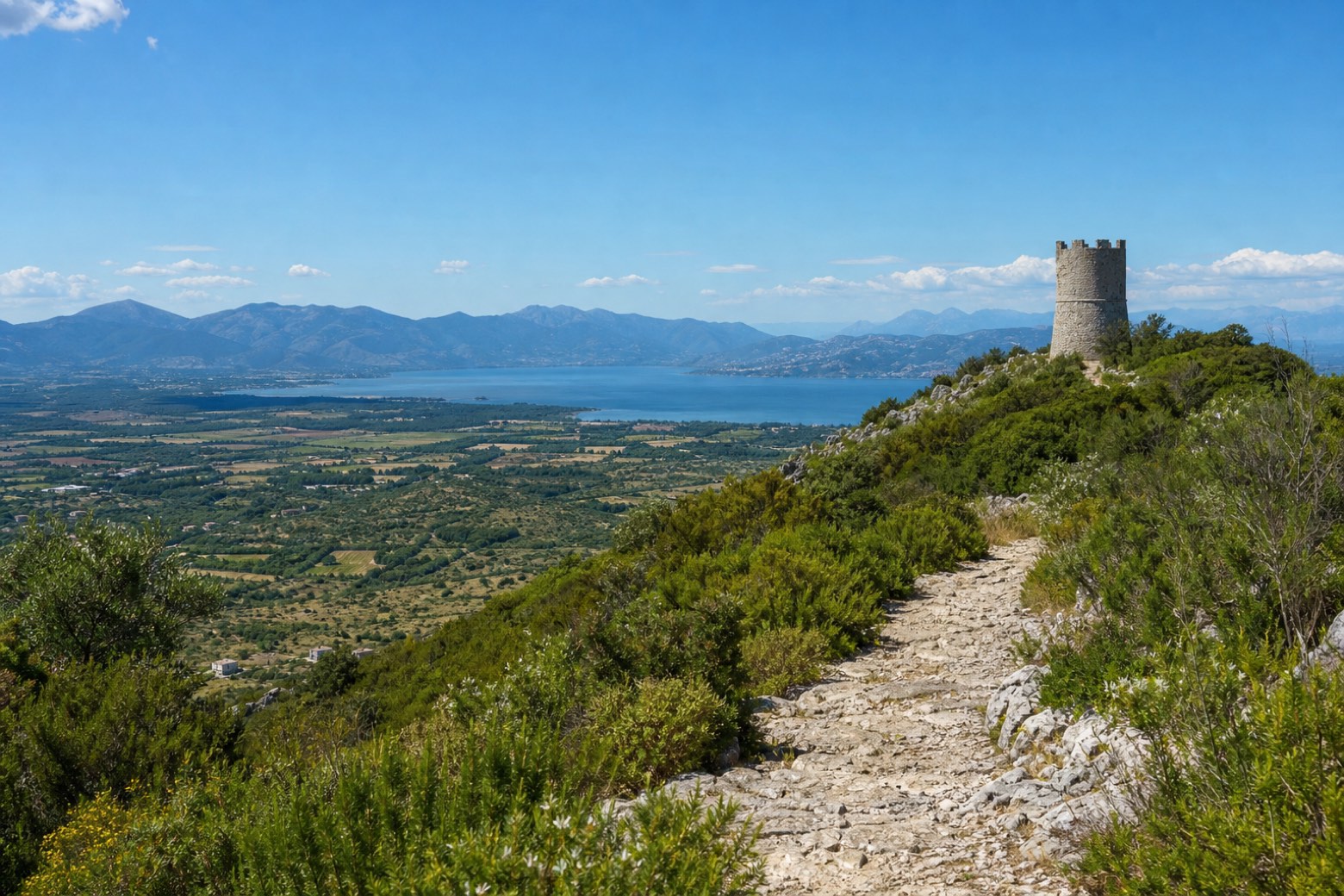 Stage 8
Terracina → Monastero di San Magno
moderateDistance18 kmAscent383 mDescent404 m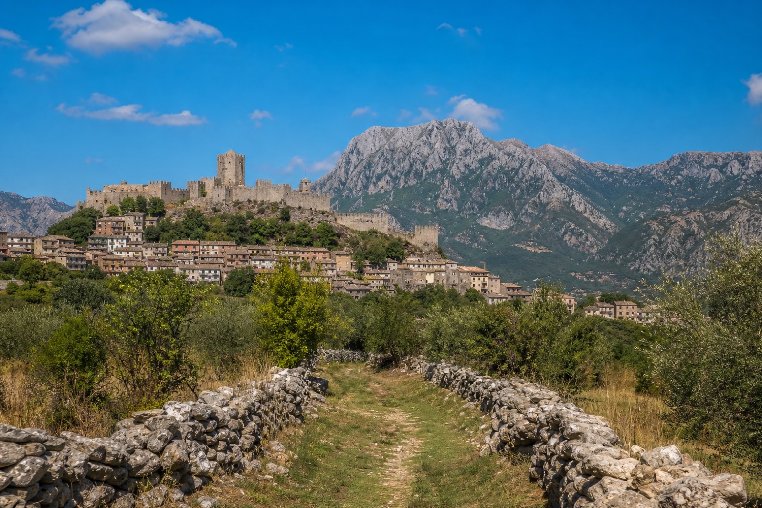 Stage 9
Monastero di San Magno → Itri
moderateDistance20 kmAscent306 mDescent160 m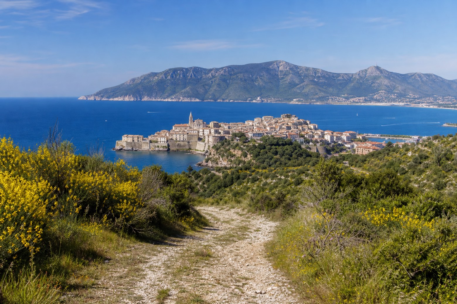 Stage 10
Itri → Gaeta
moderateDistance16 kmAscent291 mDescent467 m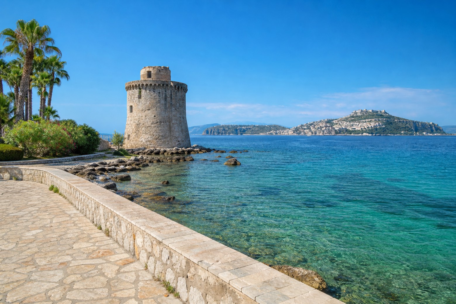 Stage 11
Gaeta → Minturno
moderateDistance28 kmAscent89 mDescent94 m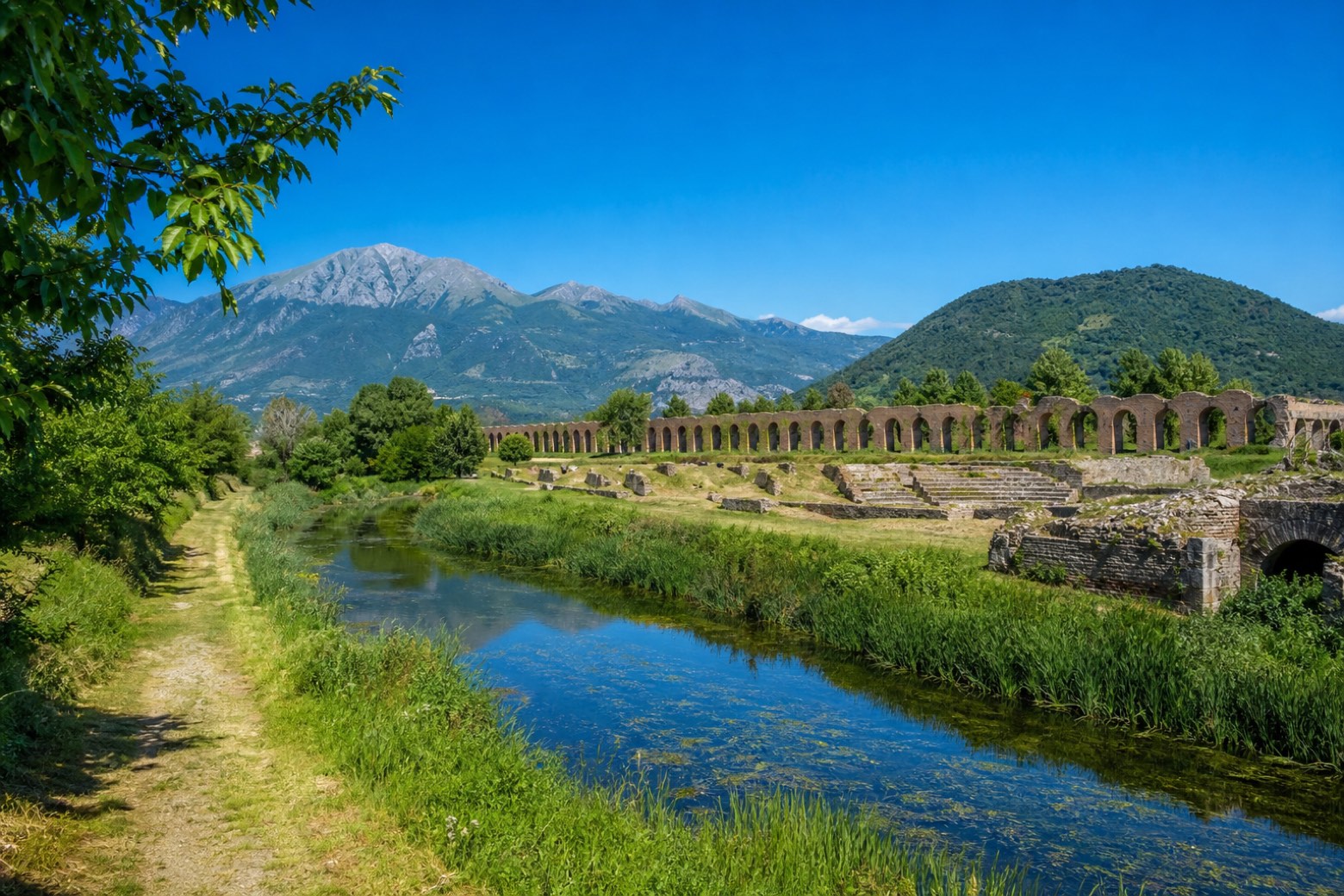 Stage 12
Minturno → Sessa Aurunca
moderateDistance24 kmAscent269 mDescent88 m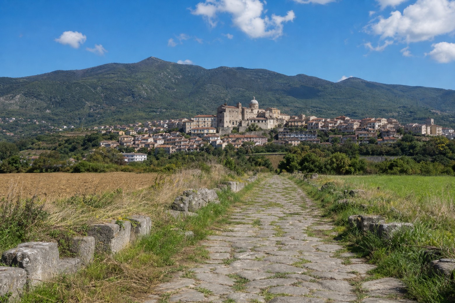 Stage 13
Sessa Aurunca → Teano
moderateDistance16 kmAscent276 mDescent257 m
Travel
Find connections for your cammino.
Search trainsDownload Appy
Maps, stages and walking directions on your iPhone.
Get it on the App Store