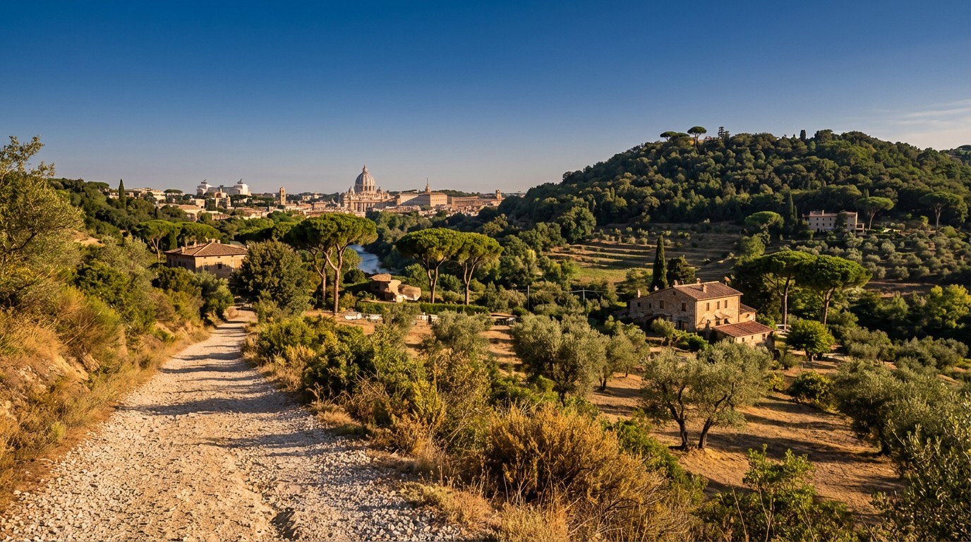
Via di Francesco del Sud
Umbria, Italy
Italy, Rome to Assisi
Distance
255 km
Stages
14
Difficulty
moderate
Best months
Apr-Jun, Sep-Oct
About
Two hundred sixty kilometers of history and heart. The Via di Francesco del Sud traces the steps of St. Francis, from the bustling streets of Rome to the serene hills of Assisi. Fourteen stages, 9,476 meters of elevation gain, and a medley of landscapes: rolling Sabine hills, rugged ascents, and charming villages like Borgo San Benedetto. The scent of wild rosemary lingers in the air. Hike it in spring or autumn, when the paths are alive with locals and stories. This is more than a walk; it’s a journey through Italy’s spiritual and cultural soul.
Highlights
- Basilica di San Francesco
- Basilica di San Giovanni in Laterano
- Ponte delle Torri
- Fonte Colombo
- Poggio Bustone
Stages
- 1
Roma to Monte Sacroeasy
15 km93 m89 m
- 2
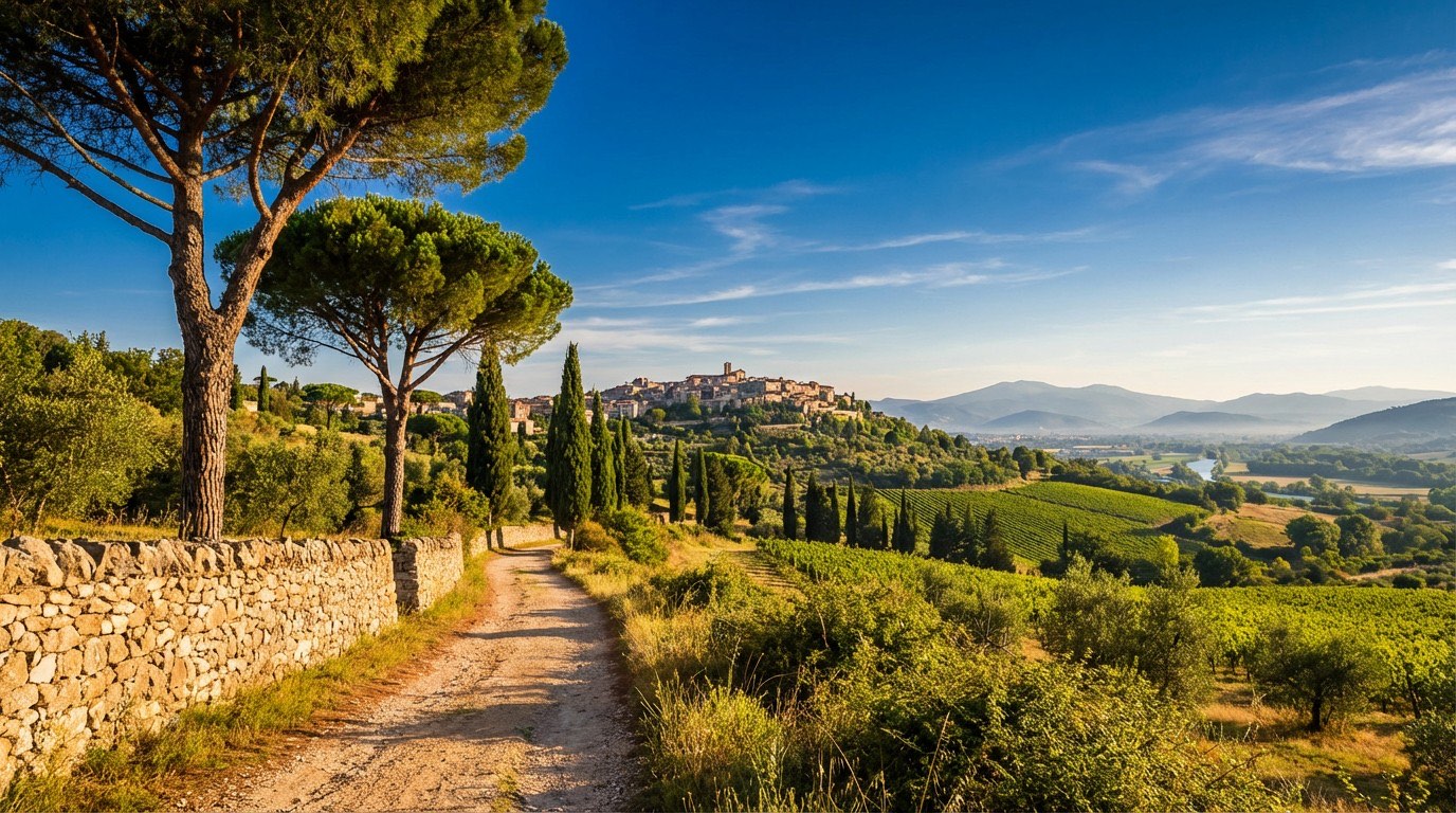
Monte Sacro to Monterotondoeasy
18 km177 m93 m
- 3
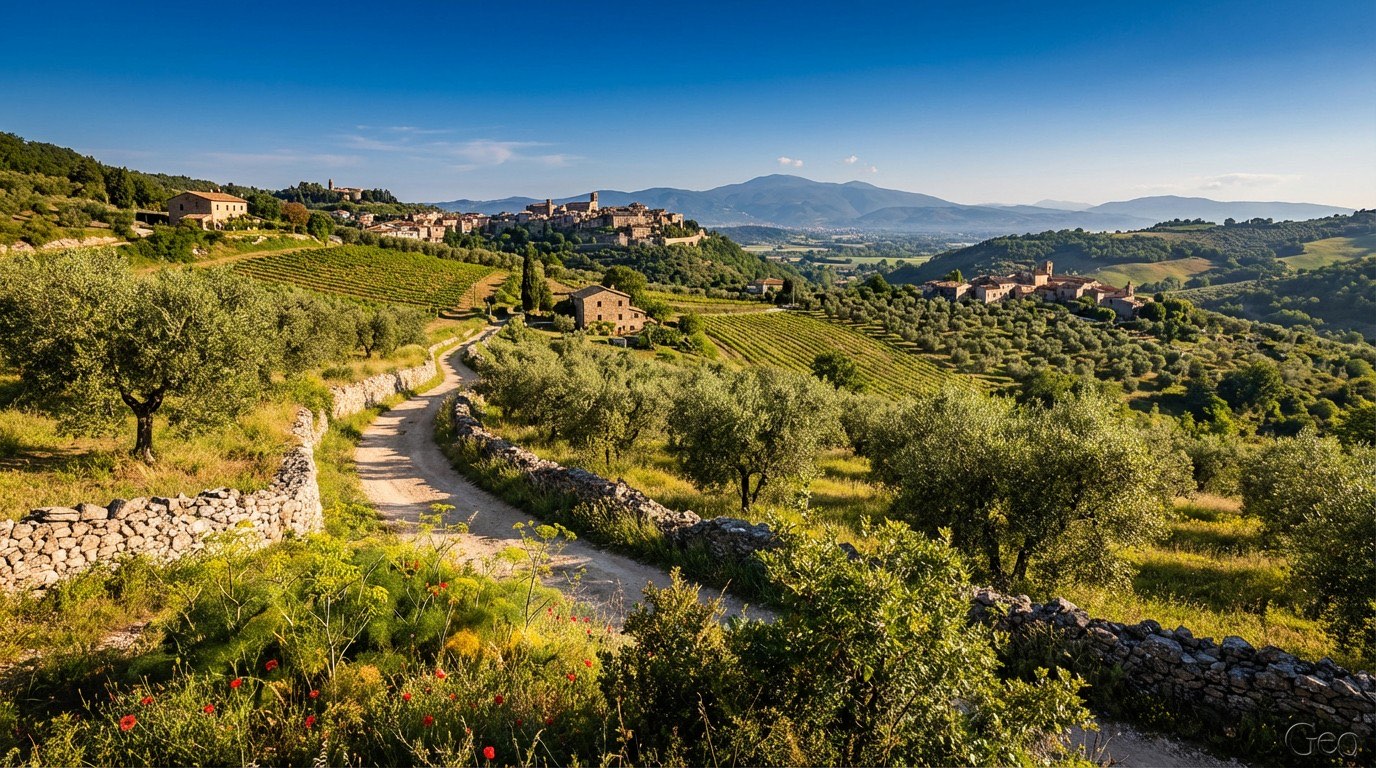
Monterotondo to Ponticelli di Scandrigliamoderate
29 km607 m296 m
- 4
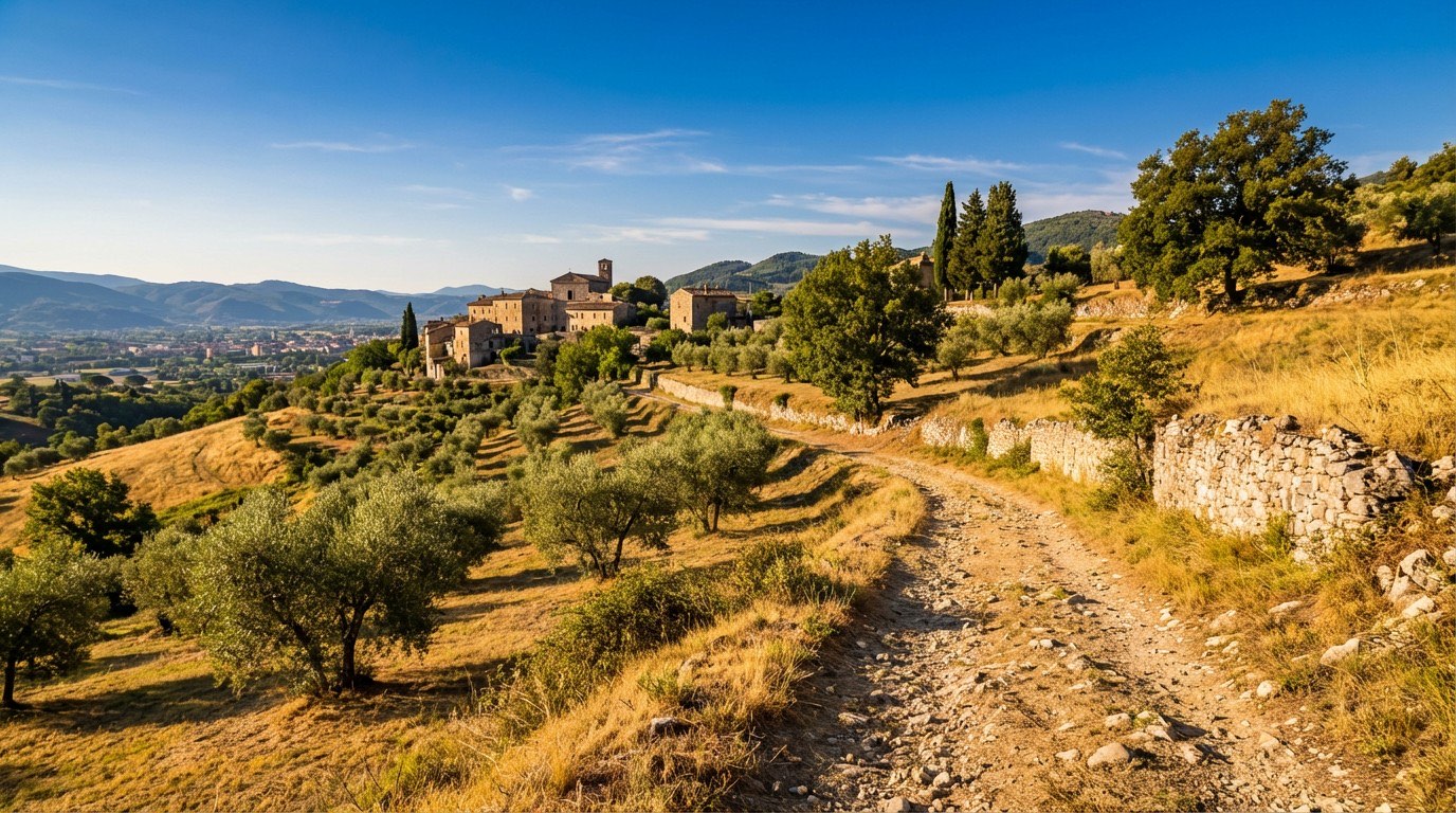
Ponticelli di Scandriglia to Rietichallenging
42 km792 m871 m
- 5
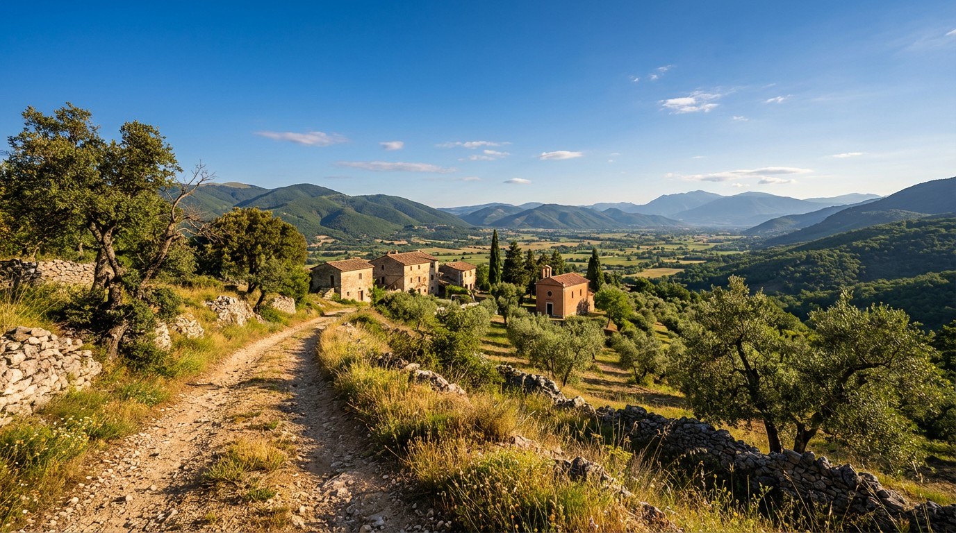
Rieti to Fonte Colomboeasy
9 km
- 6
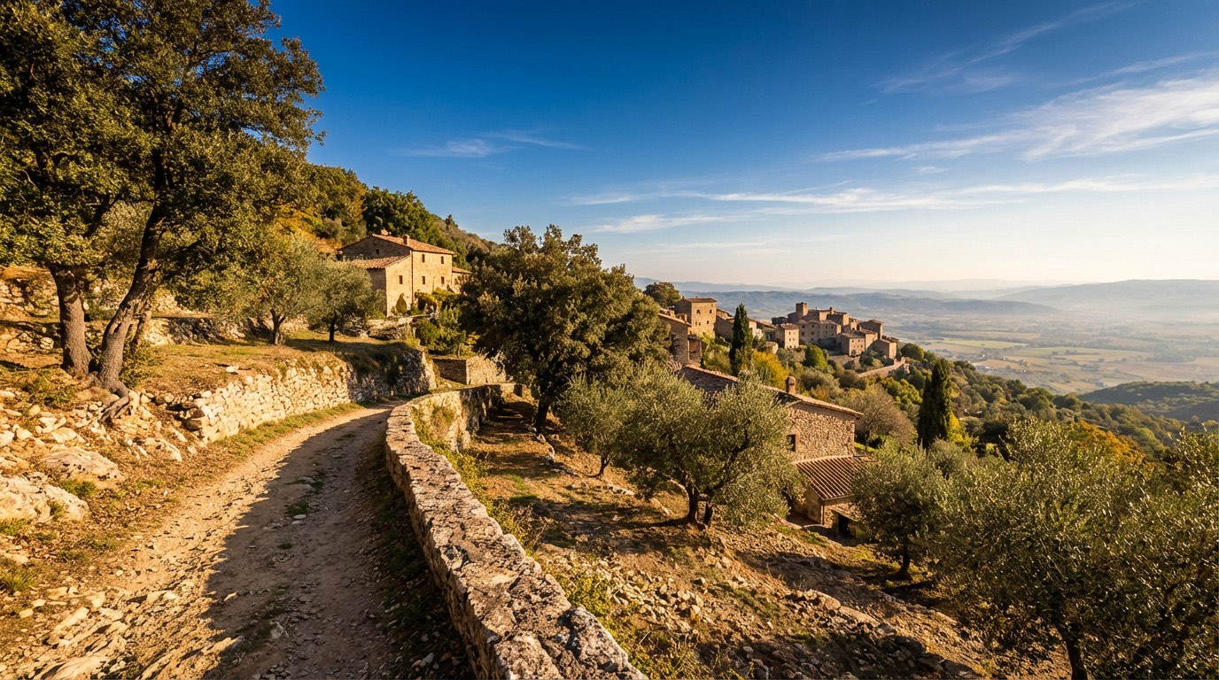
Fonte Colombo to Poggio Bustonemoderate
18 km347 m45 m
- 7
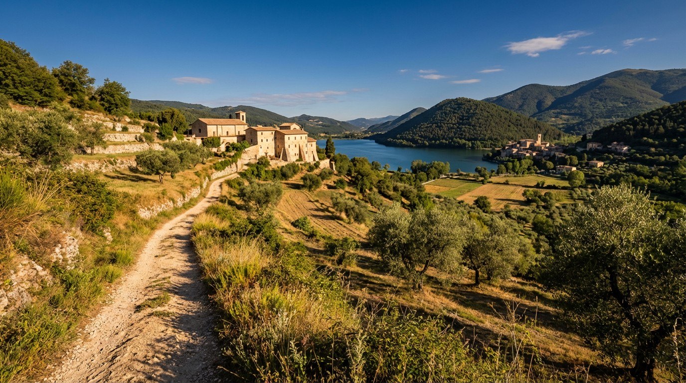
Poggio Bustone to Piedilucomoderate
22 km748 m1178 m
- 8
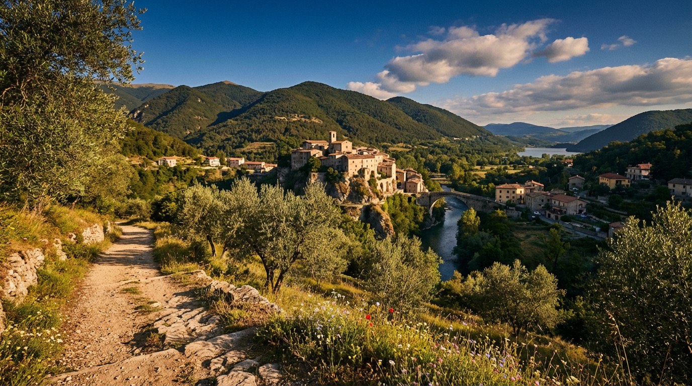
Piediluco to Arroneeasy
13 km181 m320 m
- 9
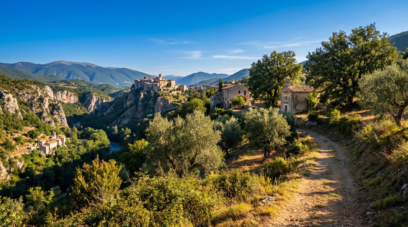
Arrone to Cesellimoderate
15 km321 m282 m
- 10
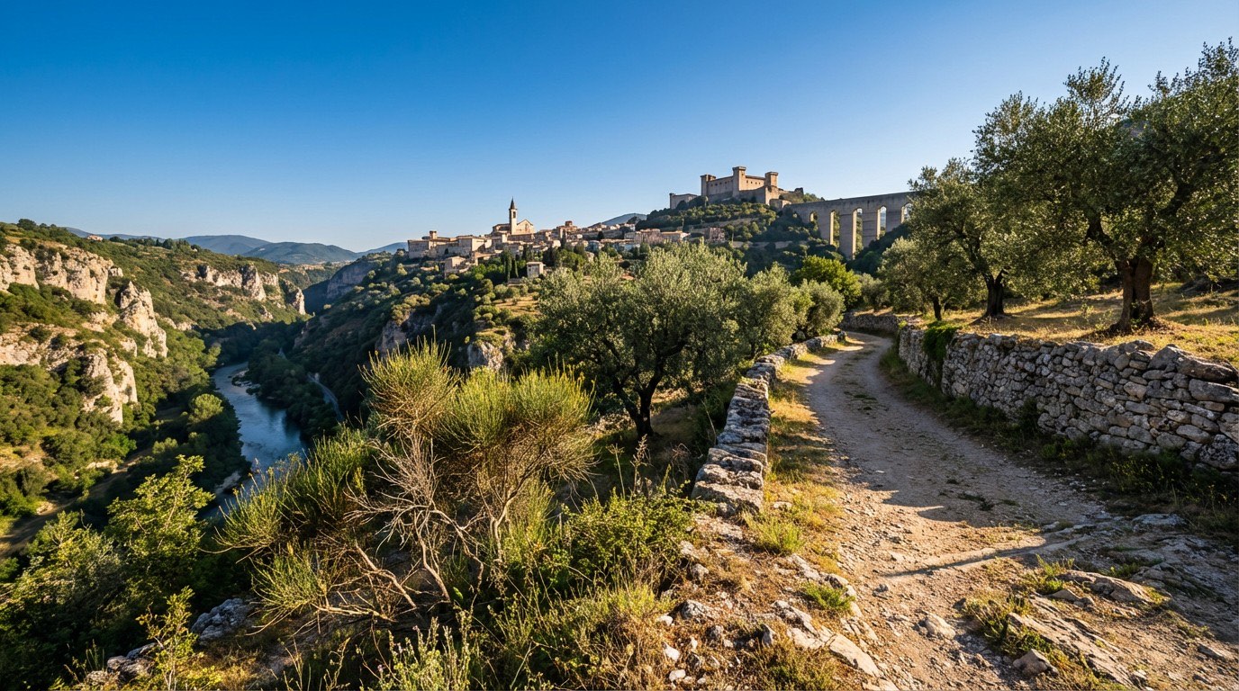
Ceselli to Spoletochallenging
16 km1161 m1060 m
- 11
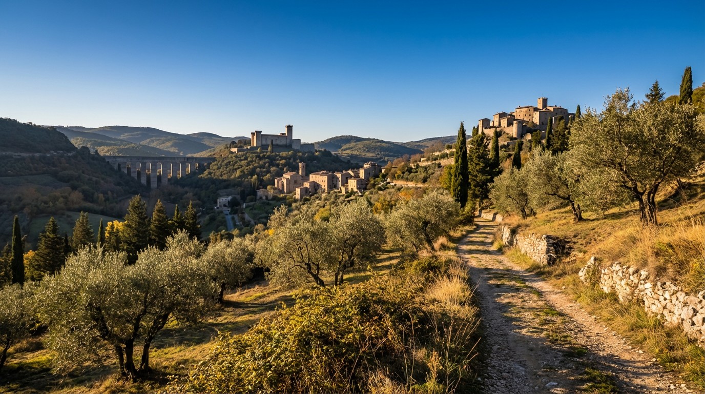
Spoleto to Poretamoderate
15 km588 m635 m
- 12
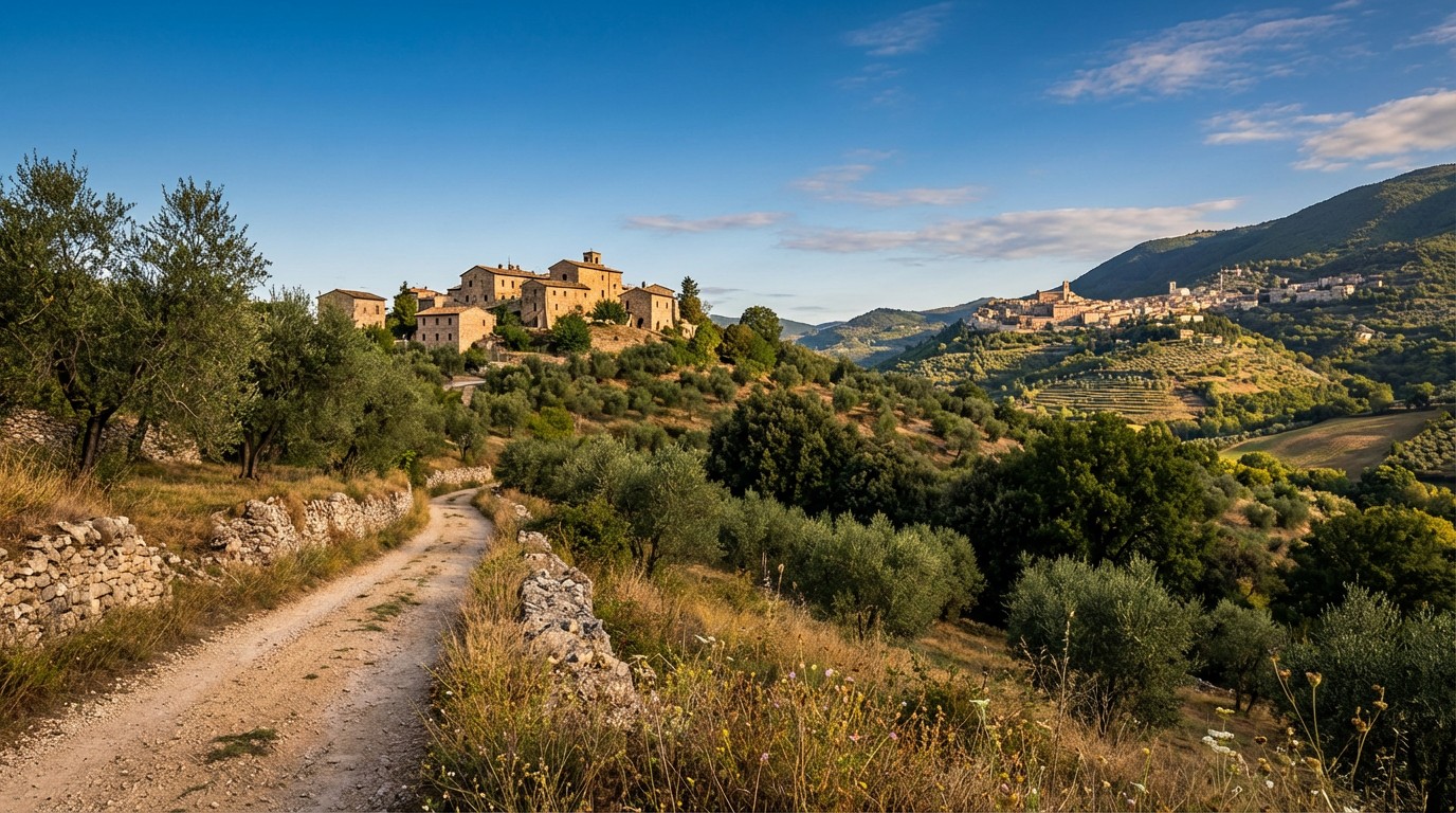
Poreta to Trevimoderate
12 km579 m501 m
- 13
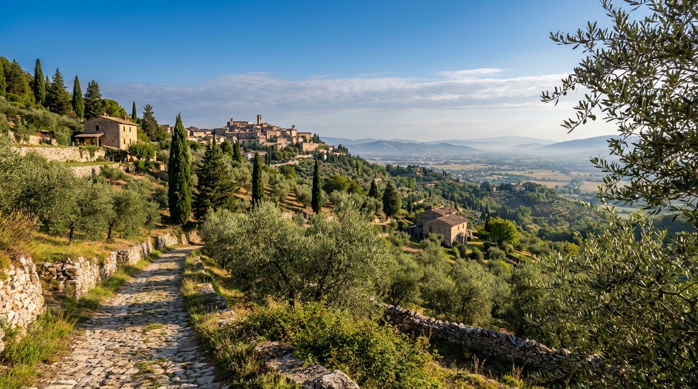
Trevi to Folignoeasy
12 km195 m378 m
- 14
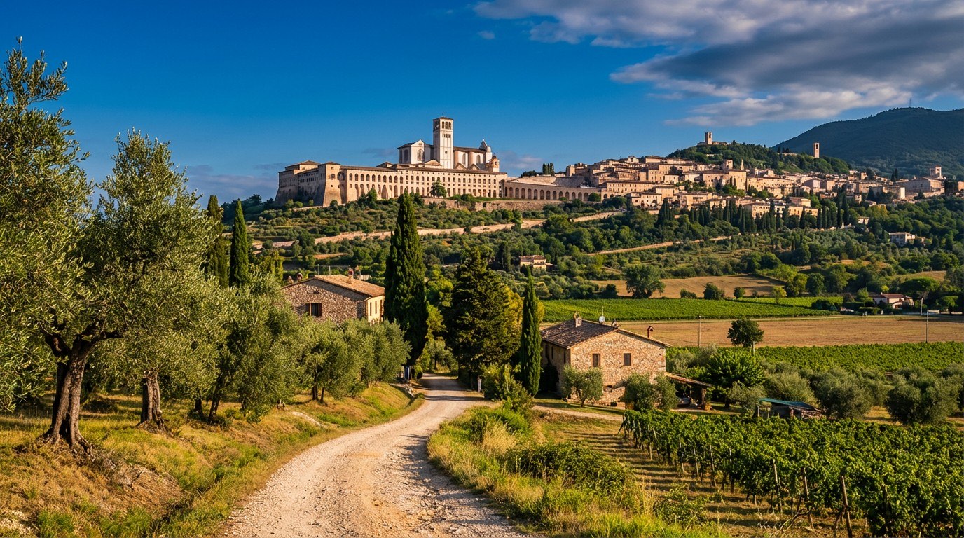
Foligno to Assisimoderate
19 km523 m385 m
Plan this trip
Walk it with AppyPilgrim
Offline maps, stage detail, weather, and Appy AI for this route are in the app.
Get it on the App Store