Tour du Vercors
Auvergne-Rhône-Alpes, France
Vercors, Saint-Nizier-du-Moucherotte to Brantes
Distance
175 km
Stages
8
Difficulty
moderate
Best months
Apr-Jun, Sep-Oct
About
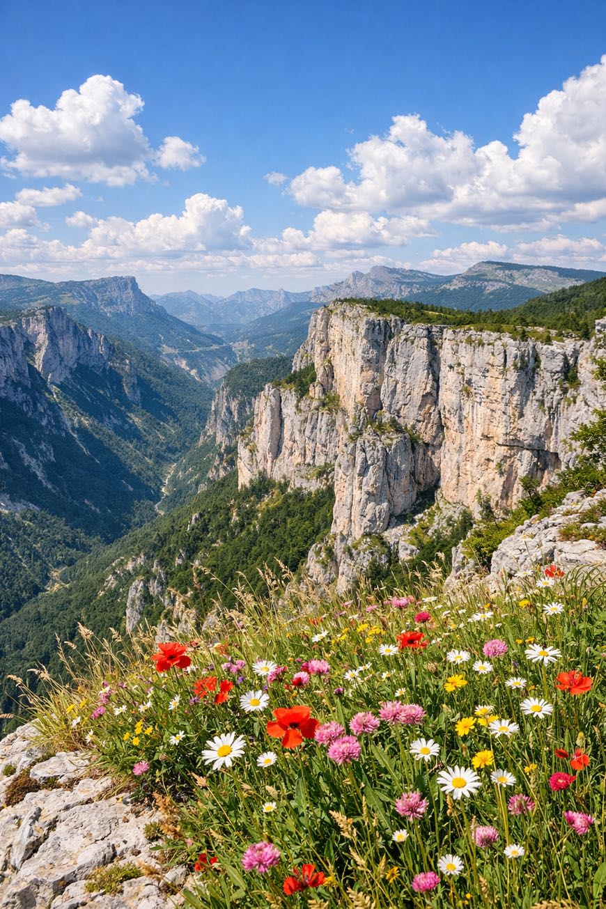
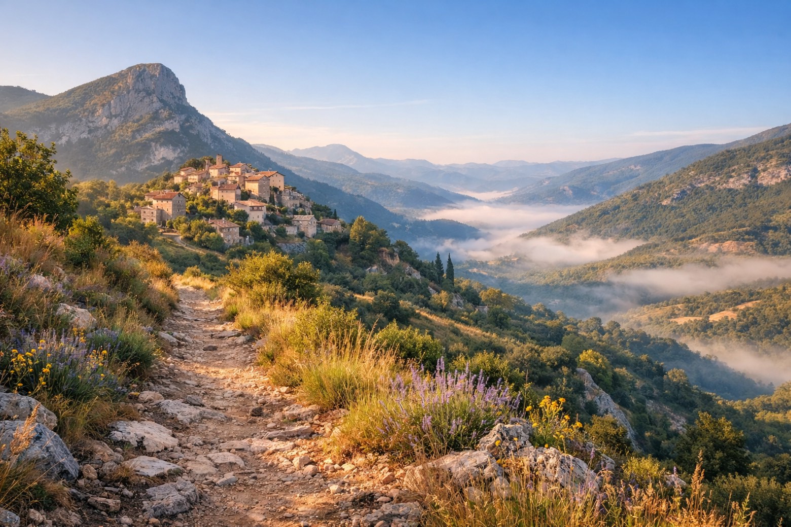
A 180 km trek through the Vercors Massif, where limestone cliffs rise, and deep gorges whisper secrets of the Resistance. Eight stages of alpine meadows and ancient forests, with a total elevation gain of 4,673 metres. Start at Saint-Nizier-du-Moucherotte, where the air is crisp, and the views are endless. Along the way, savor Raviole du Dauphiné and the creamy Saint-Marcellin. It’s not just a hike; it’s a journey through history and flavor, accessible year-round, but best from April to June or September to October.
Highlights
- Saint-Nizier-du-Moucherotte
- Les Volants
- La Molière
- La Bâtie
- Brantes
Stages
- 1
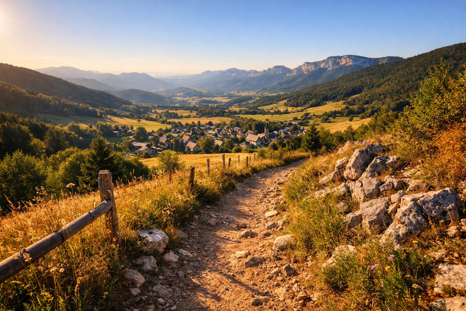
Saint-Nizier-du-Moucherotte to Lans-en-Vercorsmoderate
18 km250 m394 m
- 2
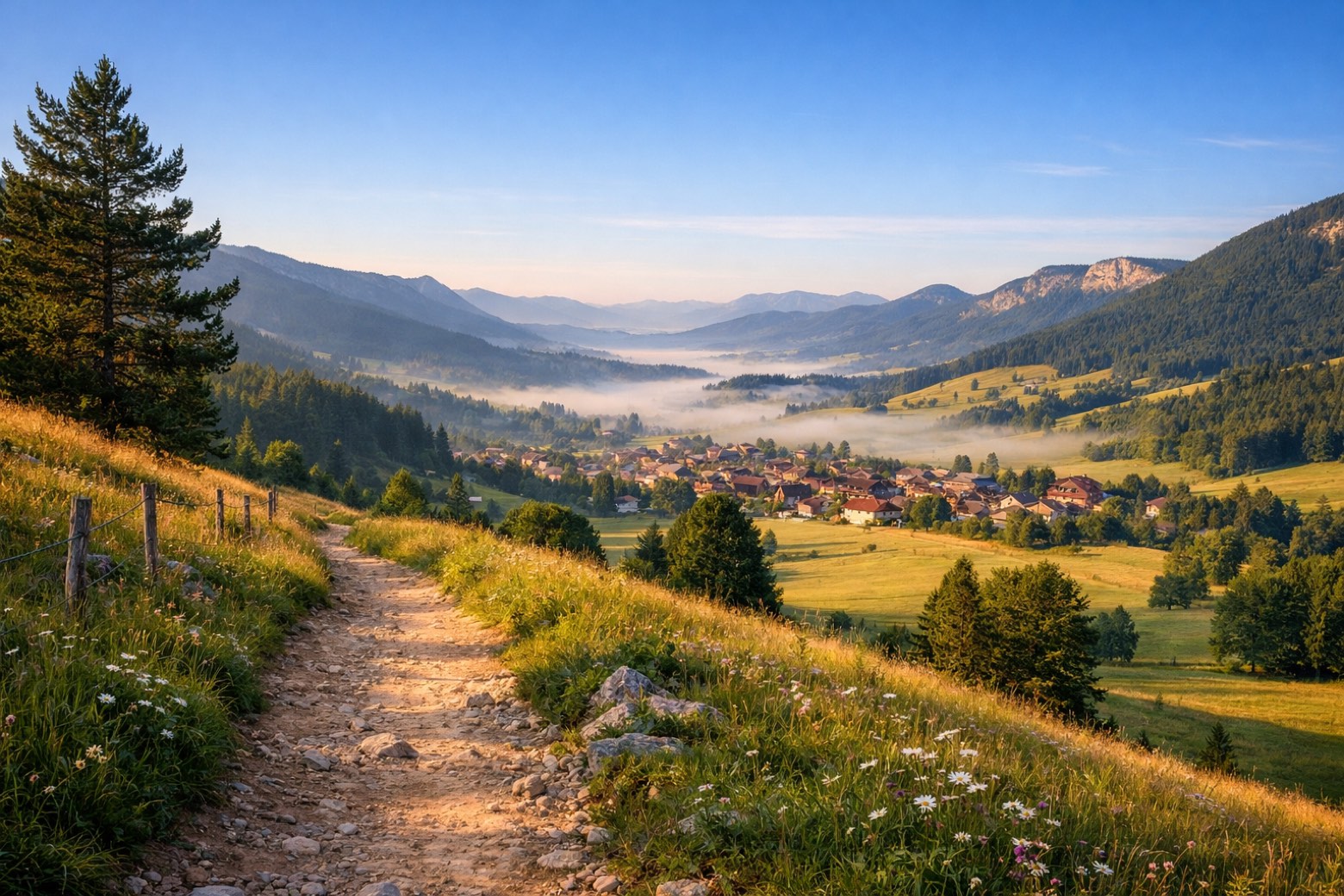
Lans-en-Vercors to Villard-de-Lanseasy
12 km106 m81 m
- 3
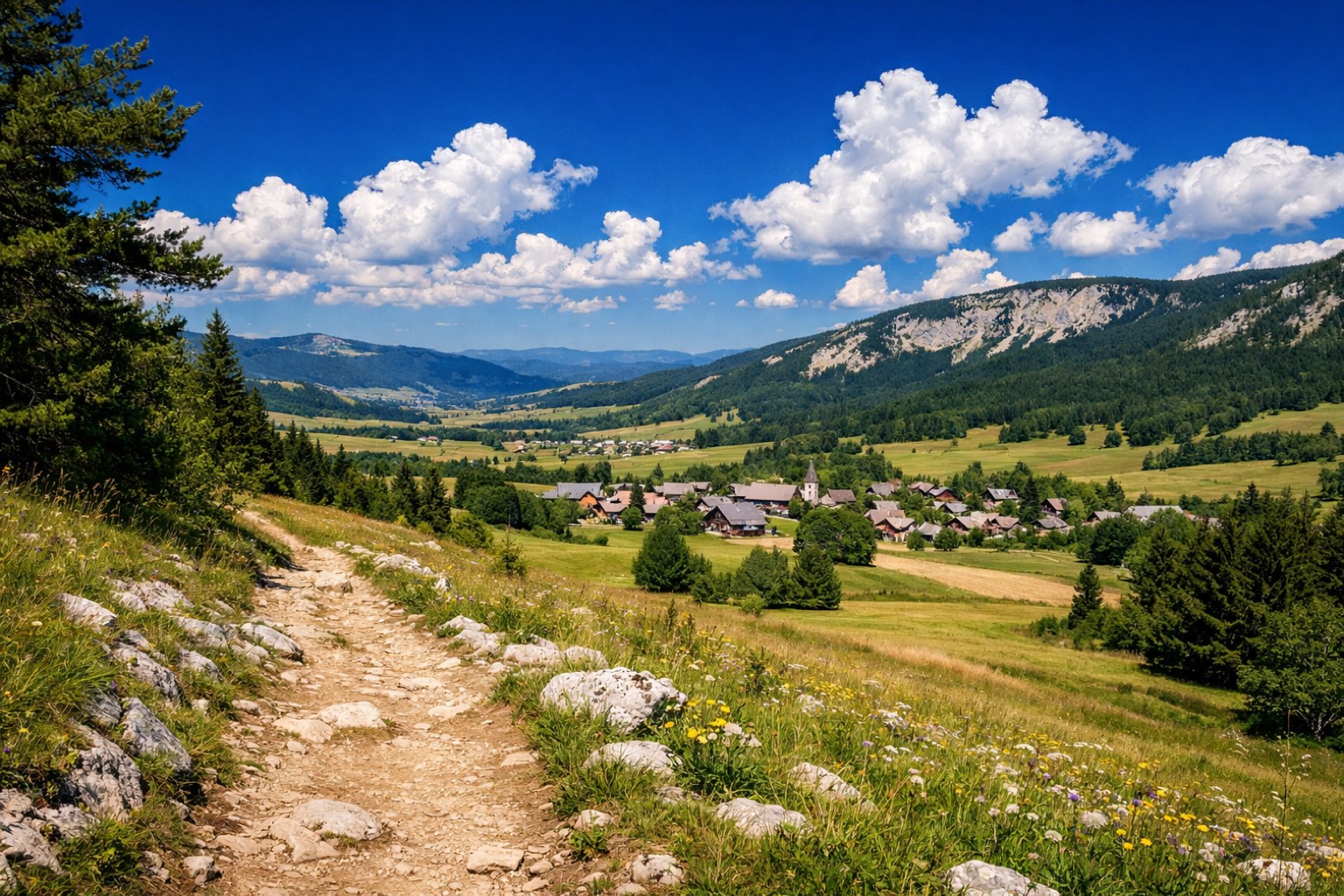
Villard-de-Lans to Corrençon-en-Vercorseasy
10 km249 m169 m
- 4
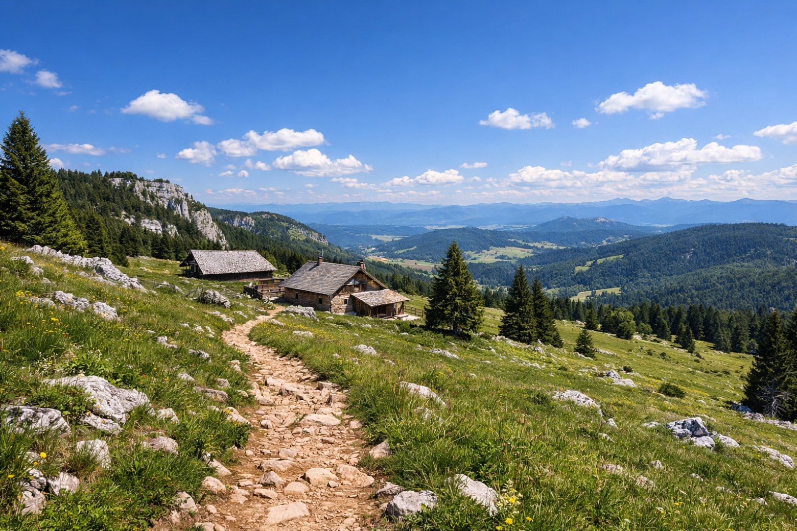
Corrençon to Cabane de Carrettechallenging
20 km1238 m1213 m
- 5
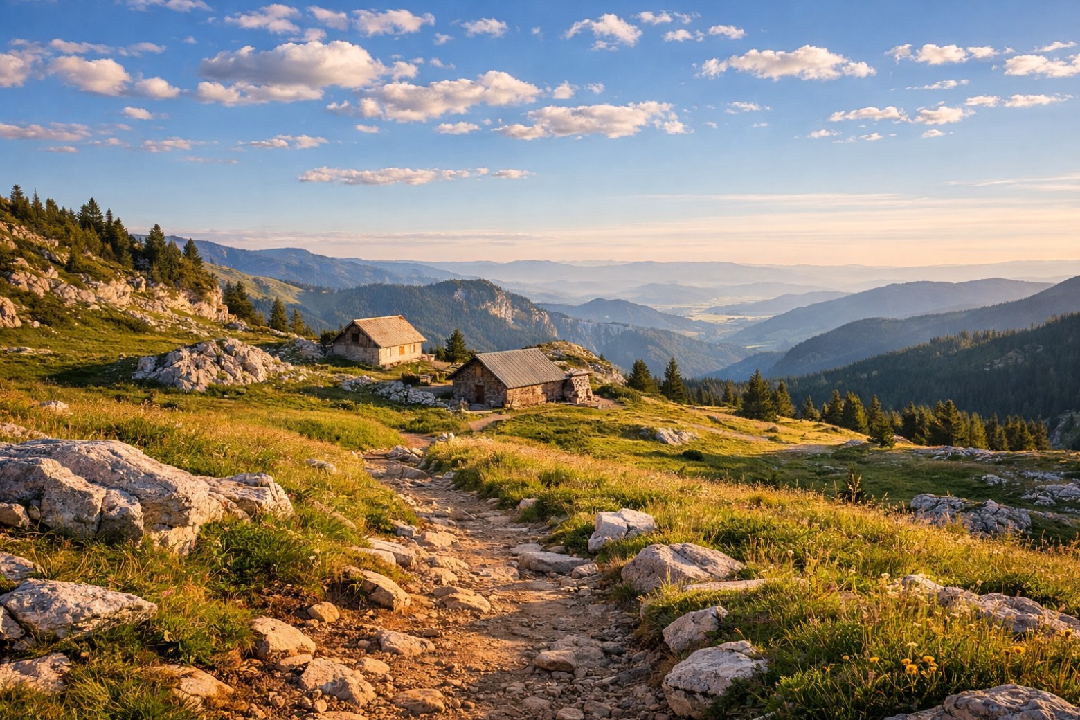
Cabane de Carrette to Jasse du Playmoderate
18 km674 m264 m
- 6
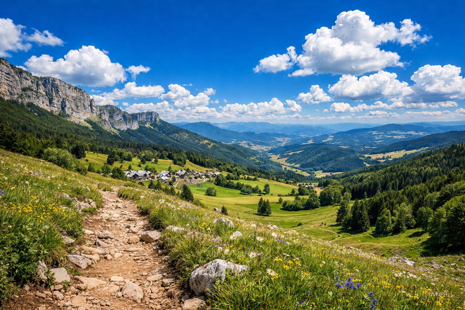
Jasse du Play to Gresse-en-Vercorsmoderate
22 km488 m1086 m
- 7
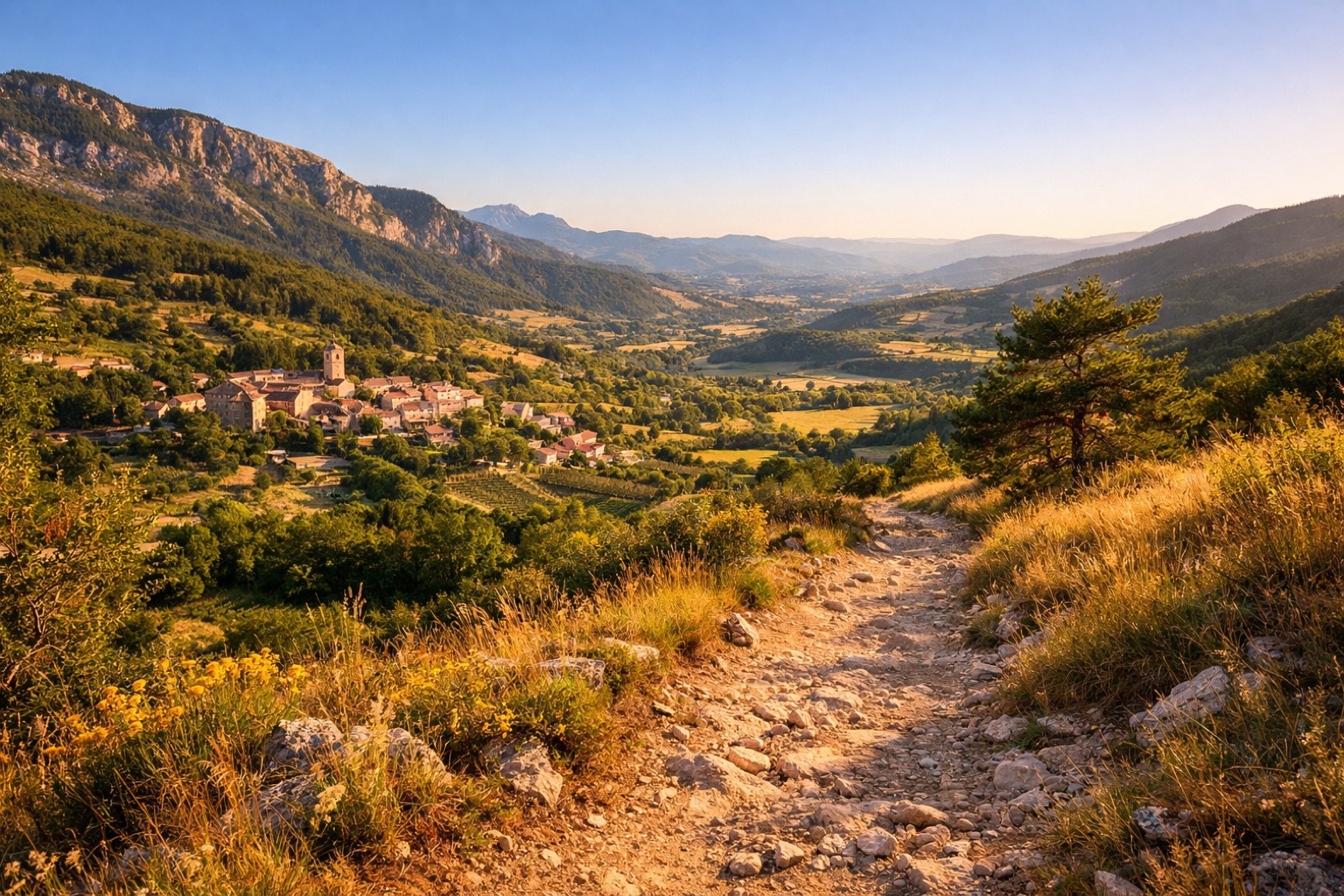
Gresse-en-Vercors to Châtillon-en-Dioismoderate
30 km613 m998 m
- 8
Châtillon-en-Diois to Branteschallenging
45 km1055 m1007 m
Plan this trip
Walk it with AppyPilgrim
Offline maps, stage detail, weather, and Appy AI for this route are in the app.
Get it on the App Store