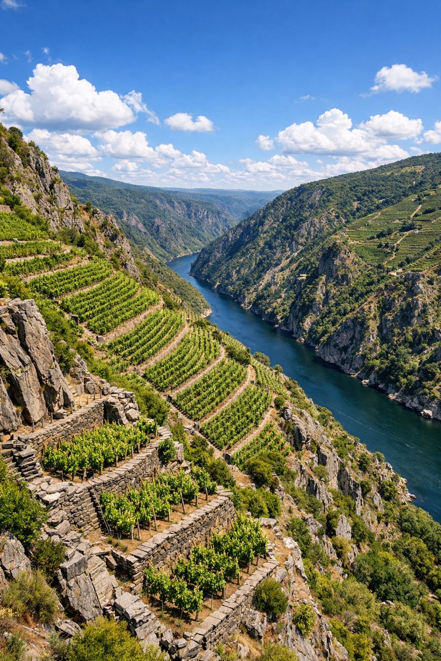
Ruta del Sil (Ribeira Sacra)
Galicia, Spain
Ribeira Sacra, Belesar to Castro Caldelas
Distance
120 km
Stages
6
Difficulty
moderate
Best months
Apr-Jun, Sep-Oct
About
A 120-kilometer journey through Ribeira Sacra. From the terraced vineyards to the Sil River's edge, the Ruta del Sil is a modern spiritual route that whispers of ancient settlements. Six stages unfold like a story, from Belesar to Castro Caldelas, each step revealing the haunting beauty of the region. The air is rich with the scent of damp earth and ripe grapes, while the historic monastery of Santo Estevo looms in the distance. With a total elevation gain of 2,422 meters, it invites those seeking clarity amid the vines and cliffs. Best hiked in spring or autumn.
Highlights
- Santo Estevo de Ribas de Sil
- Parador de San Esteban
- Castro Caldelas
- Belesar
- Fábrica da Luz
Stages
- 1
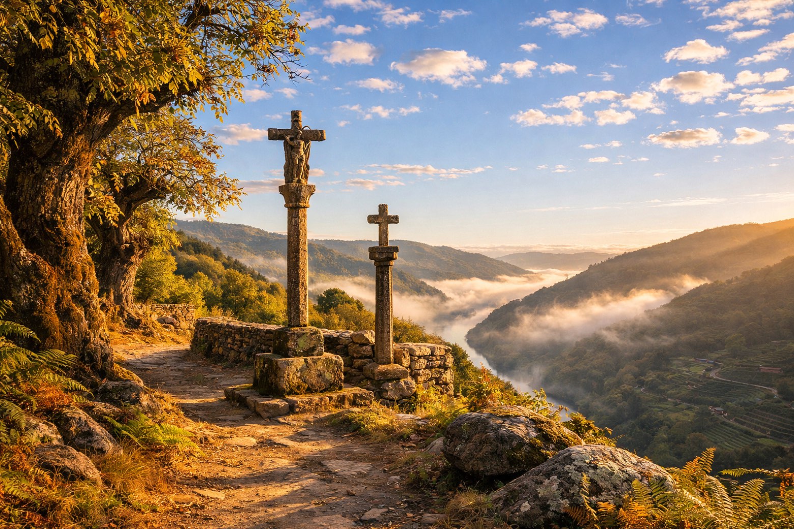
Belesar to Área Recreativa de A Maiorgaeasy
18 km163 m163 m
- 2
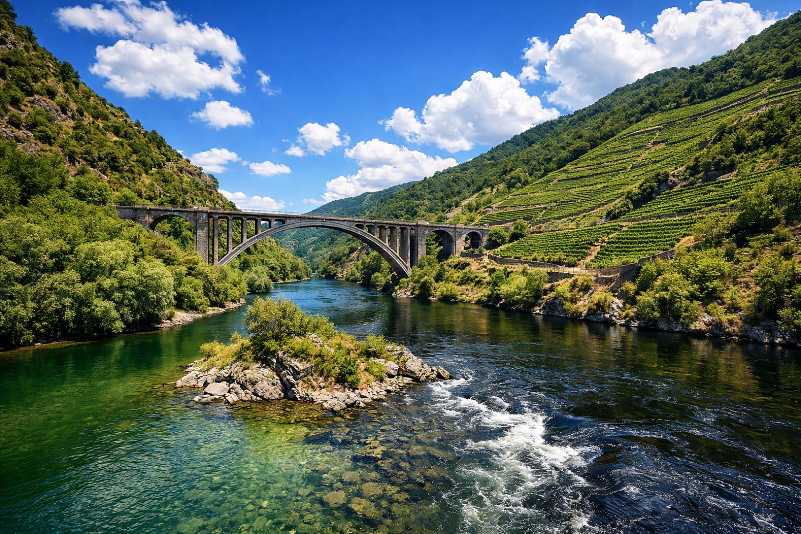
A Maiorga to Os Pearesmoderate
24 km192 m329 m
- 3
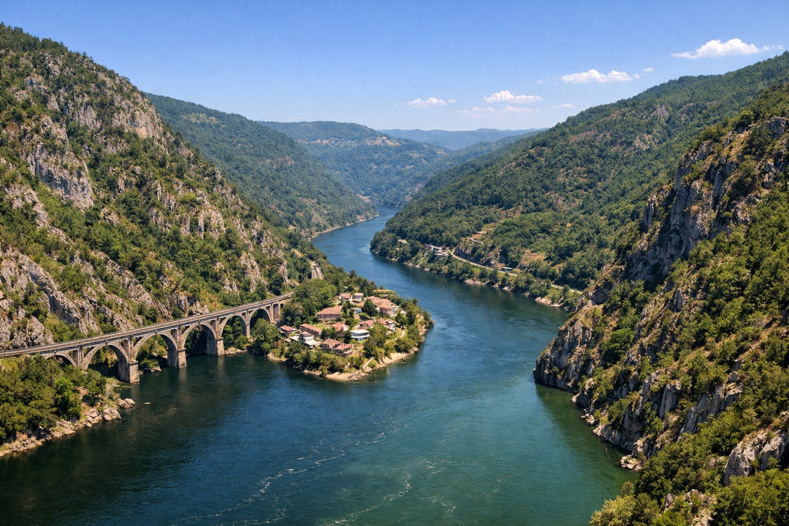
Os Peares to Albergueríamoderate
20 km441 m377 m
- 4
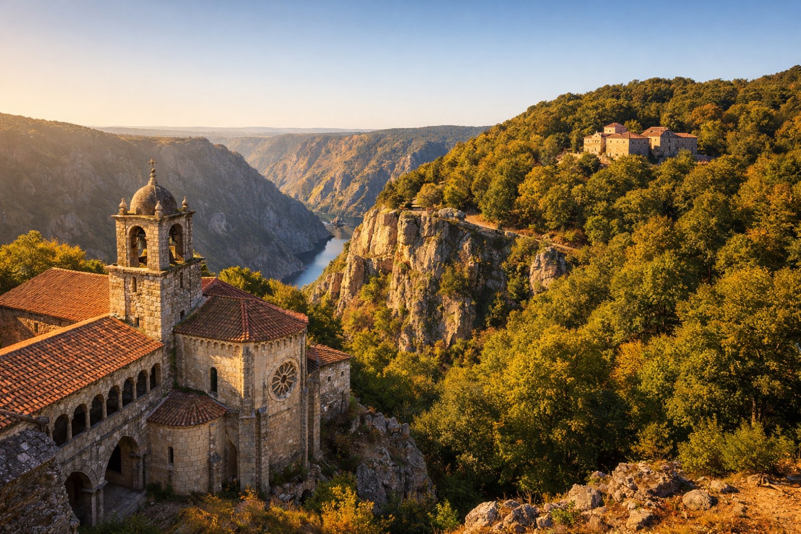
Alberguería to Parada de Silmoderate
18 km794 m311 m
- 5
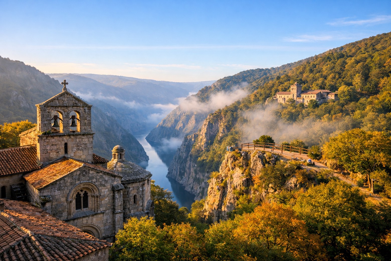
Parada de Sil to Fábrica da Luzmoderate
20 km367 m720 m
- 6
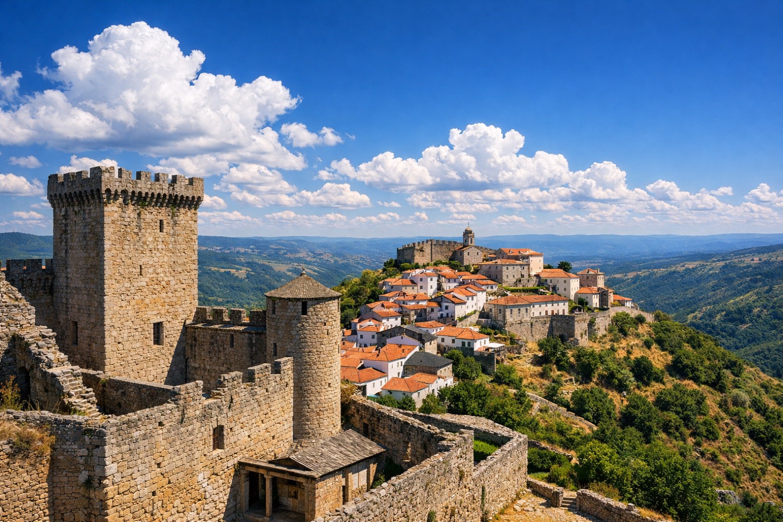
Fábrica da Luz to Castro Caldelasmoderate
20 km465 m298 m
Plan this trip
Walk it with AppyPilgrim
Offline maps, stage detail, weather, and Appy AI for this route are in the app.
Get it on the App Store