Romea Allemagna
Friuli-Venezia Giulia, Italy
Italy, Tarvisio to Friulian Plain
Distance
170 km
Stages
7
Difficulty
moderate
Best months
Apr-Jun, Sep-Oct
About
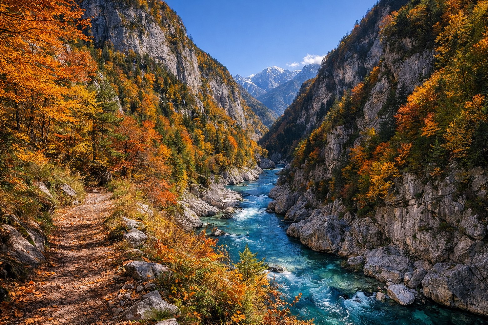
A 170-kilometer spiritual route through Italy, where the Julian Alps meet the Friulian plain. From Tarvisio, the trail winds through Camporosso and Chiusaforte, revealing rock formations that echo centuries of footsteps. Elevation gain? 1,353 meters of challenge. The air is crisp, scented with pine and earth after rain. Seven stages offer not just a hike, but a glimpse into Friuli Venezia Giulia’s soul, local churches, alpine architecture, and culinary delights. Best tackled from April to June or September to October, the Romea Allemagna is a journey of both body and spirit.
Highlights
- Canal del Ferro
- Castello di Gemona
- Monte Ragogna
- Cappella di San Giovanni
- Chiesa di San Bartolomeo
Stages
- 1
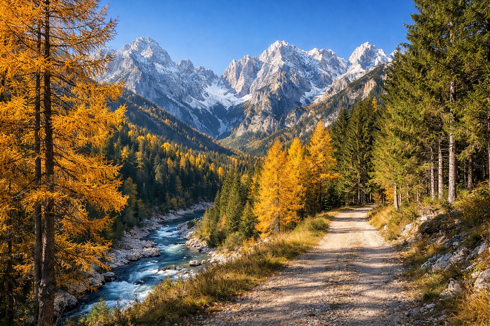
Tarvisio to Pontebbamoderate
25 km222 m405 m
- 2
Pontebba to Resiuttamoderate
21 km451 m704 m
- 3
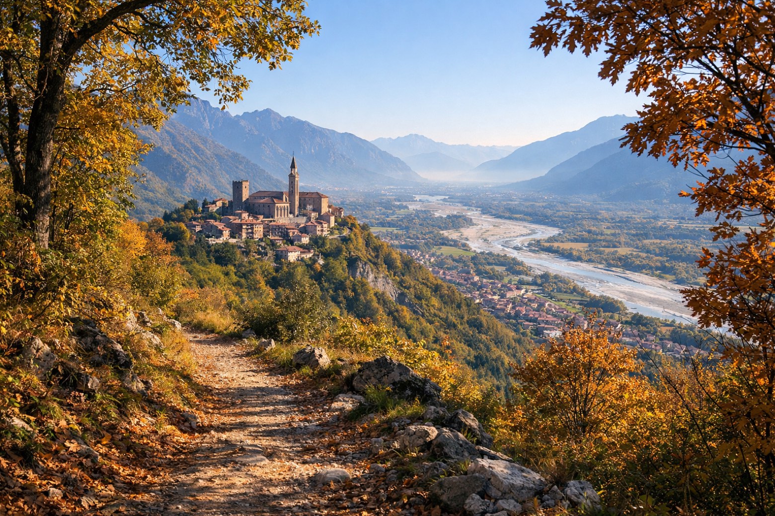
Resiutta to Gemonamoderate
22 km184 m236 m
- 4
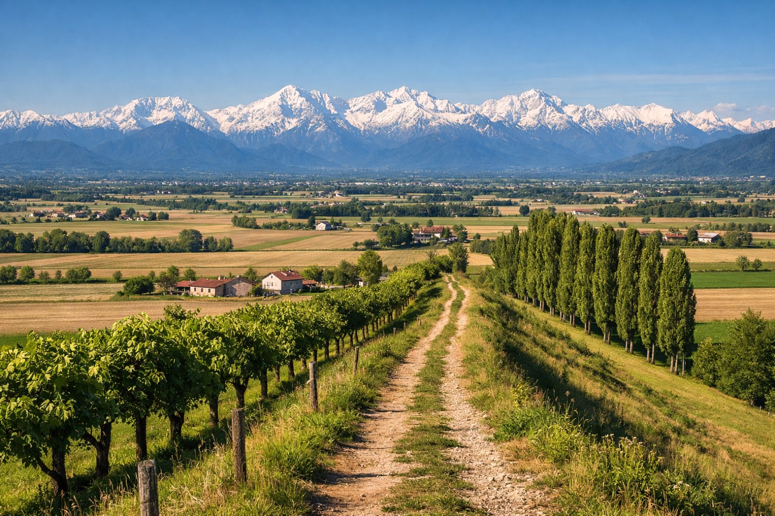
Gemona to San Tomaso di Majanoeasy
22 km103 m181 m
- 5
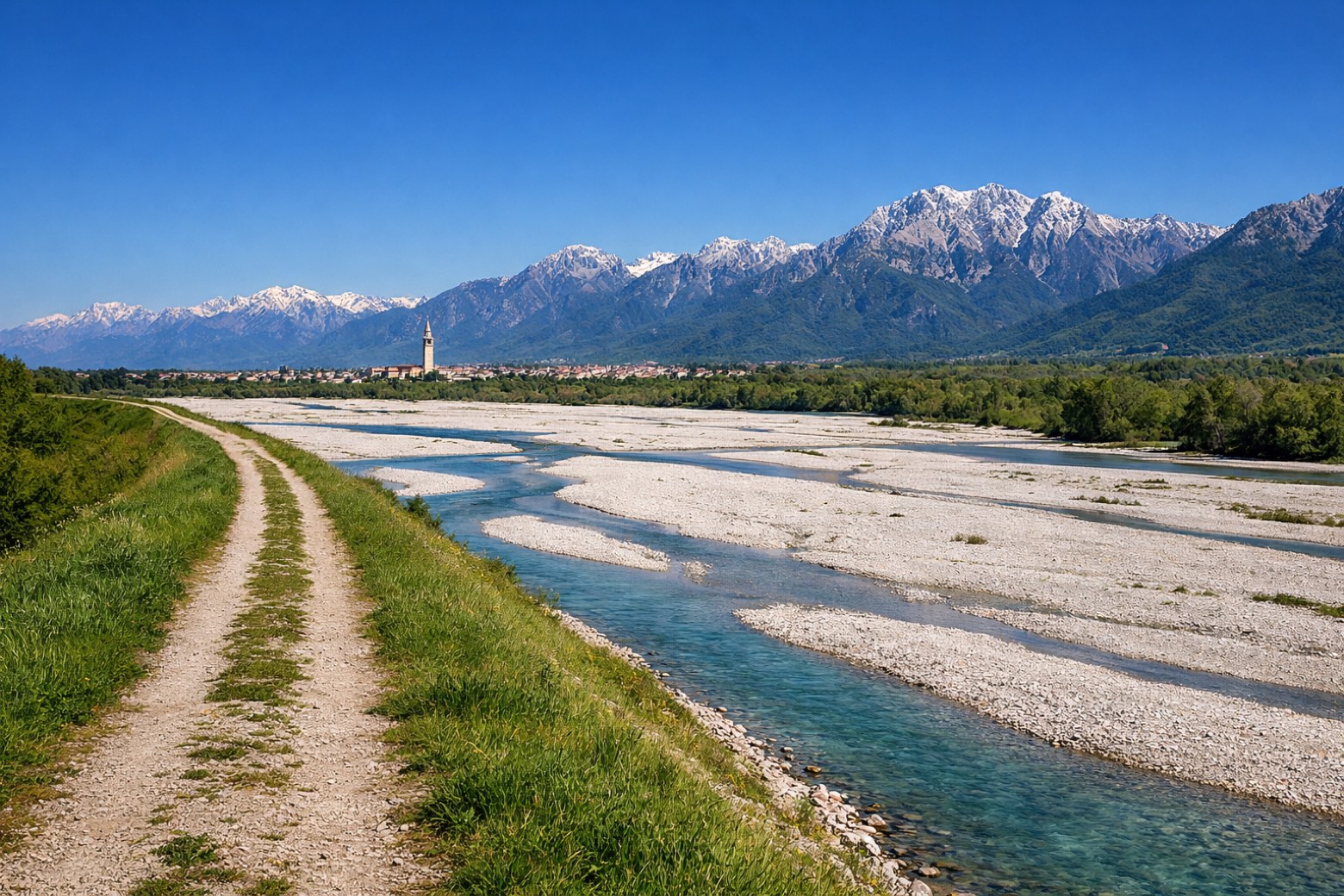
San Tomaso di Majano to Spilimbergomoderate
24 km342 m395 m
- 6
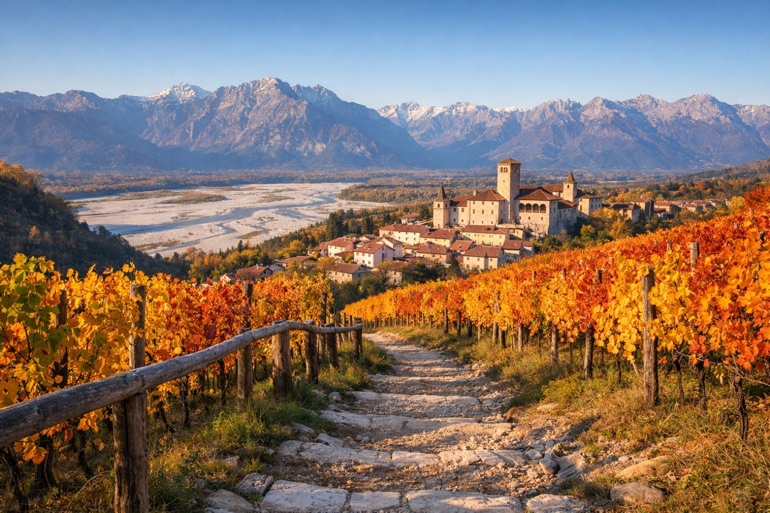
Spilimbergo to San Vito al Tagliamentomoderate
28 km21 m122 m
- 7
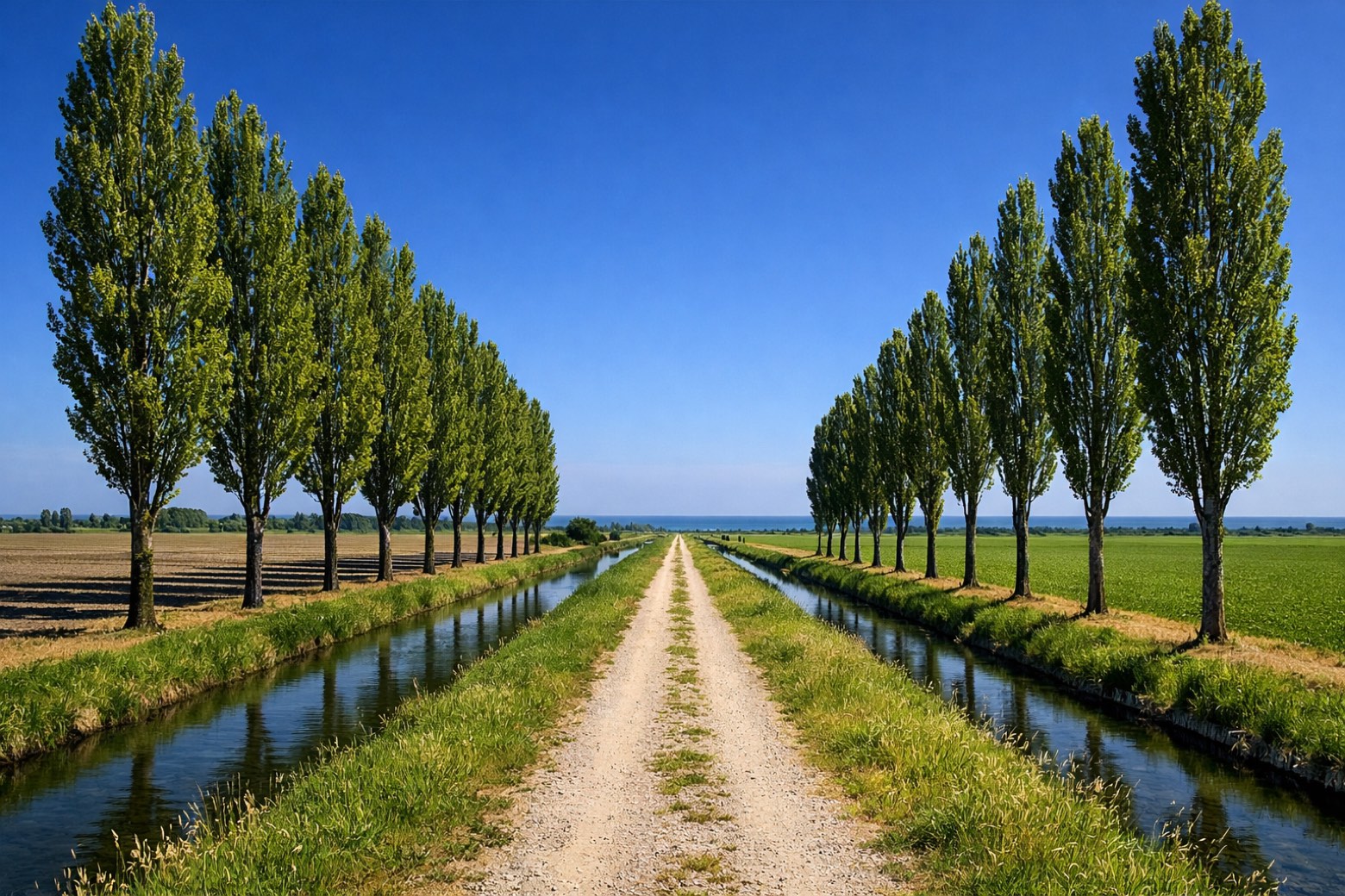
San Vito al Tagliamento to Concordia Sagittariamoderate
29 km30 m58 m
Plan this trip
Walk it with AppyPilgrim
Offline maps, stage detail, weather, and Appy AI for this route are in the app.
Get it on the App Store