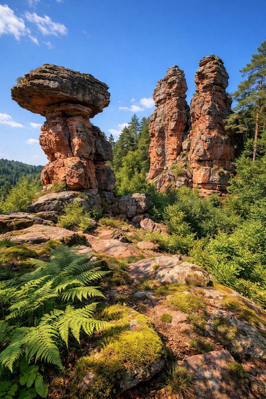
Pfälzer Waldpfad
Rheinland-Pfalz, Germany
Pfalz, Kaiserslautern to Schweighofen
Distance
144 km
Stages
9
Difficulty
moderate
Best months
Apr-Jun, Sep-Oct
About
A 140 km journey through the heart of the Pfalz. The Pfälzer Waldpfad starts in Kaiserslautern, a city echoing with military history, and winds its way to Schweighofen, crossing dense forests and rolling hills. Nine stages, 3,916 meters of elevation gain, reveal charming villages like Leimen and Schwanheim. The scent of pine needles mingles with wildflowers as you pass Alte Schmelz, a historical site that whispers tales of yore. More than a hiking trail, it’s a cultural , part of the Internazionali collection, where nature and heritage intertwine seamlessly.
Highlights
- Alte Schmelz
- Villa Kröckel
- Kleiner Breitenberg
- Château Saint-Paul
- Hoher Kopf
Stages
- 1
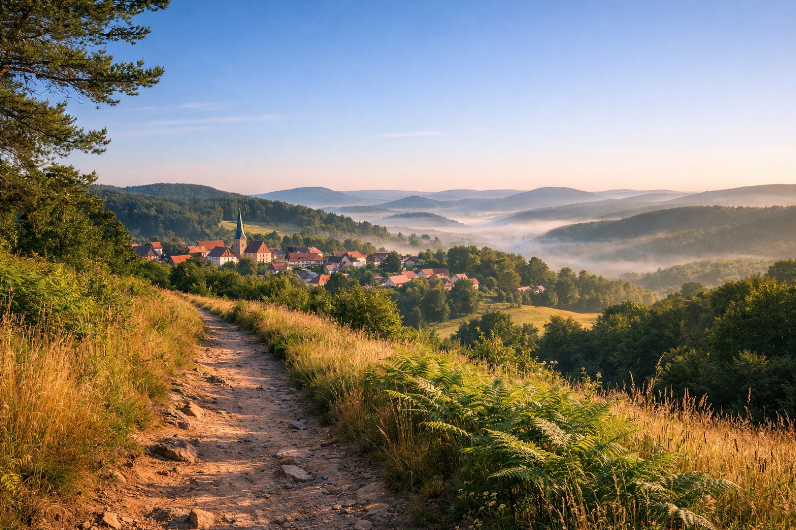
Kaiserslautern to Stelzenbergmoderate
17 km427 m370 m
- 2
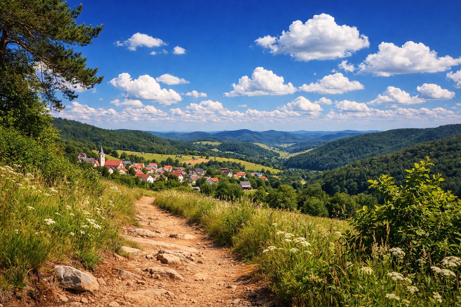
Stelzenberg to Trippstadtmoderate
12 km391 m247 m
- 3
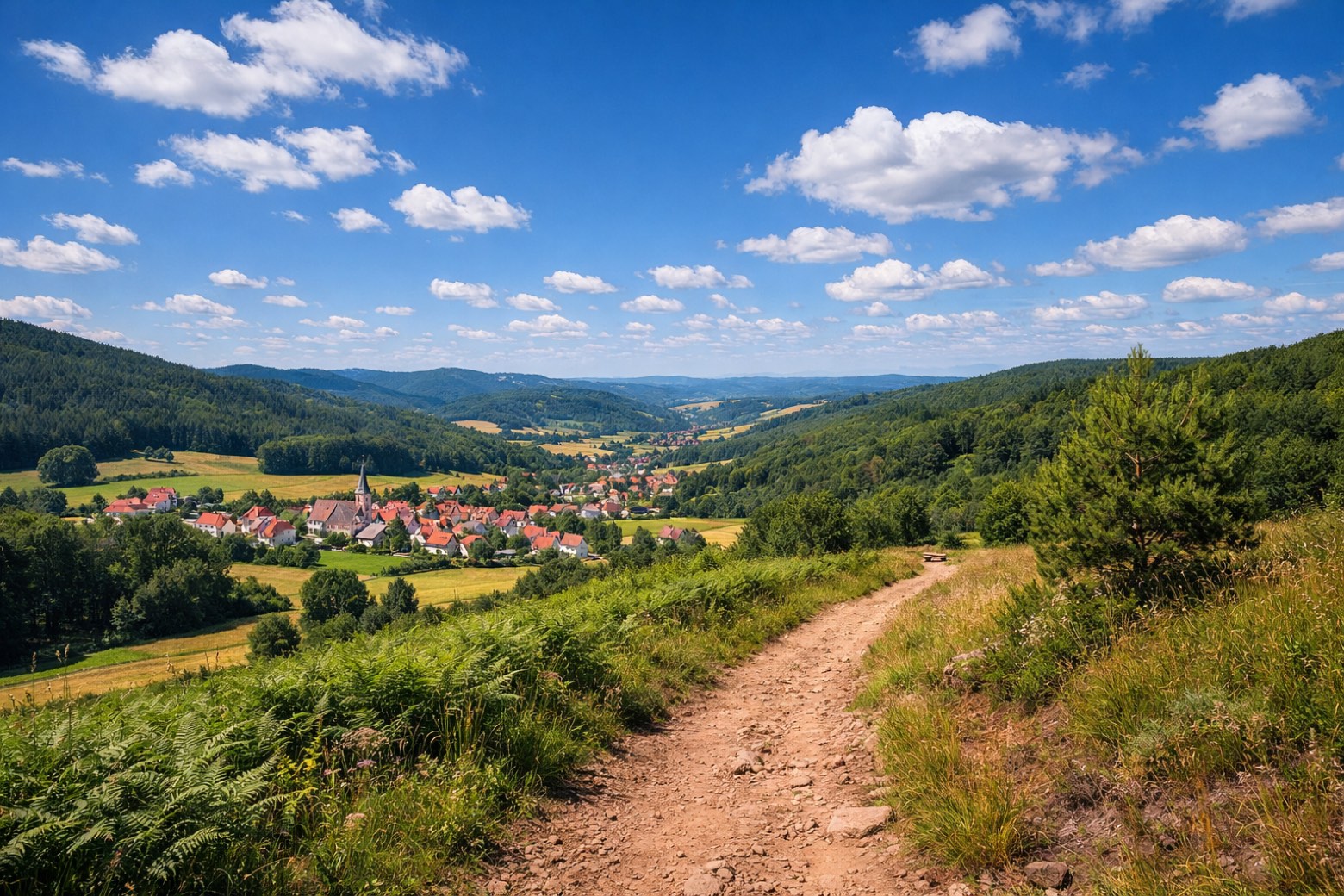
Trippstadt to Heltersbergmoderate
14 km333 m373 m
- 4
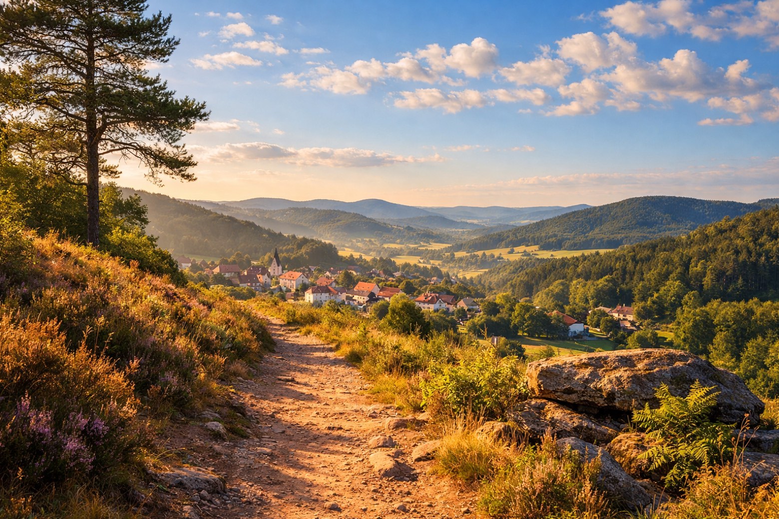
Heltersberg to Rodalbenmoderate
18 km401 m509 m
- 5
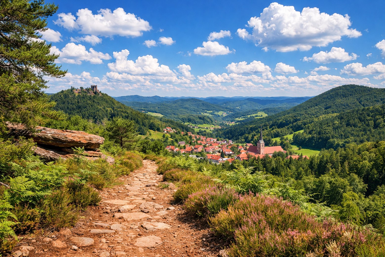
Rodalben to Merzalbenmoderate
10 km354 m375 m
- 6
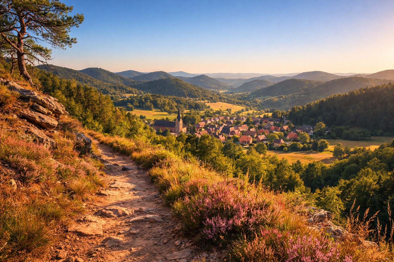
Merzalben to Wilgartswiesenmoderate
23 km492 m526 m
- 7
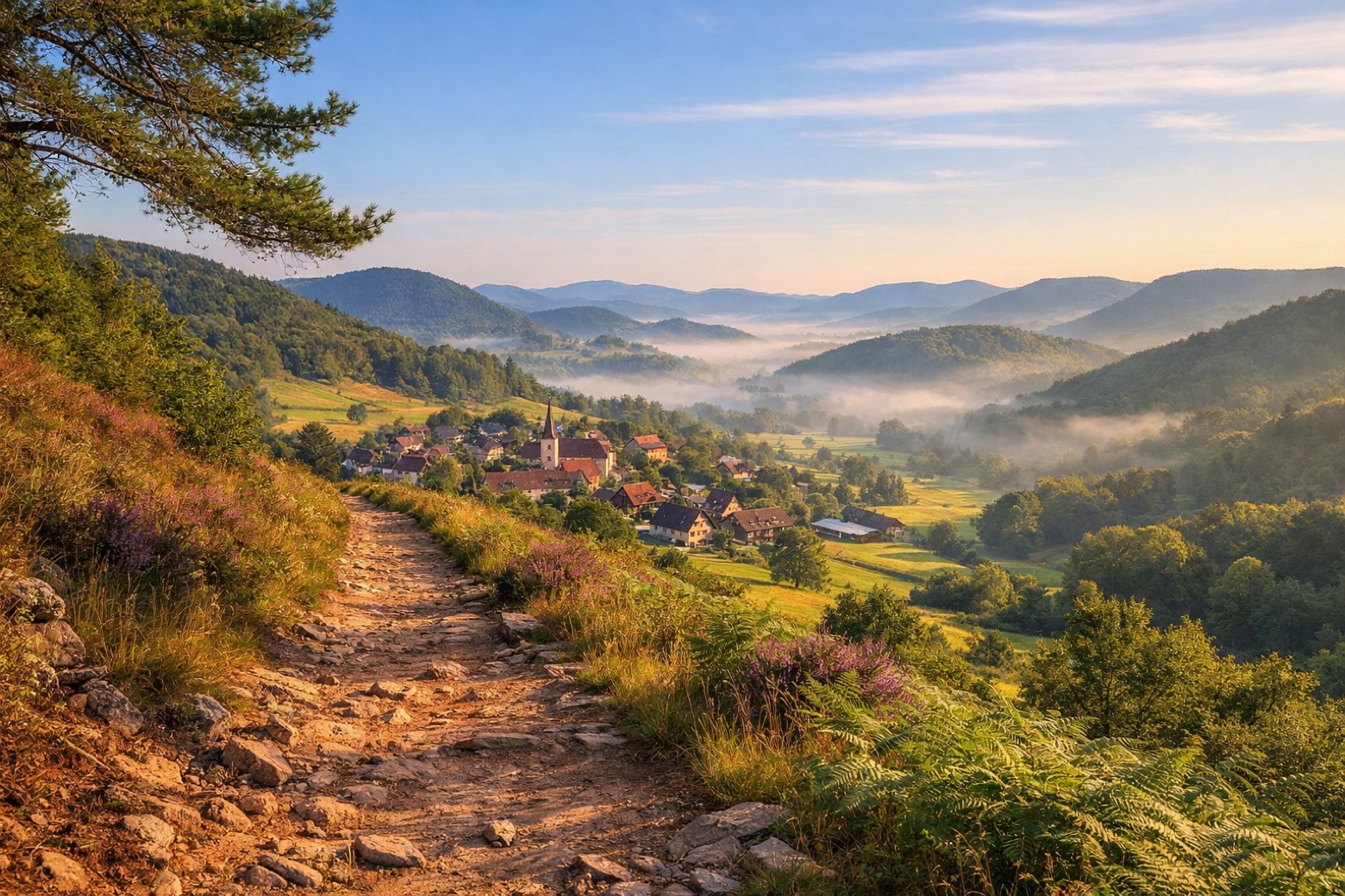
Wilgartswiesen to Reichenbachmoderate
16 km522 m572 m
- 8
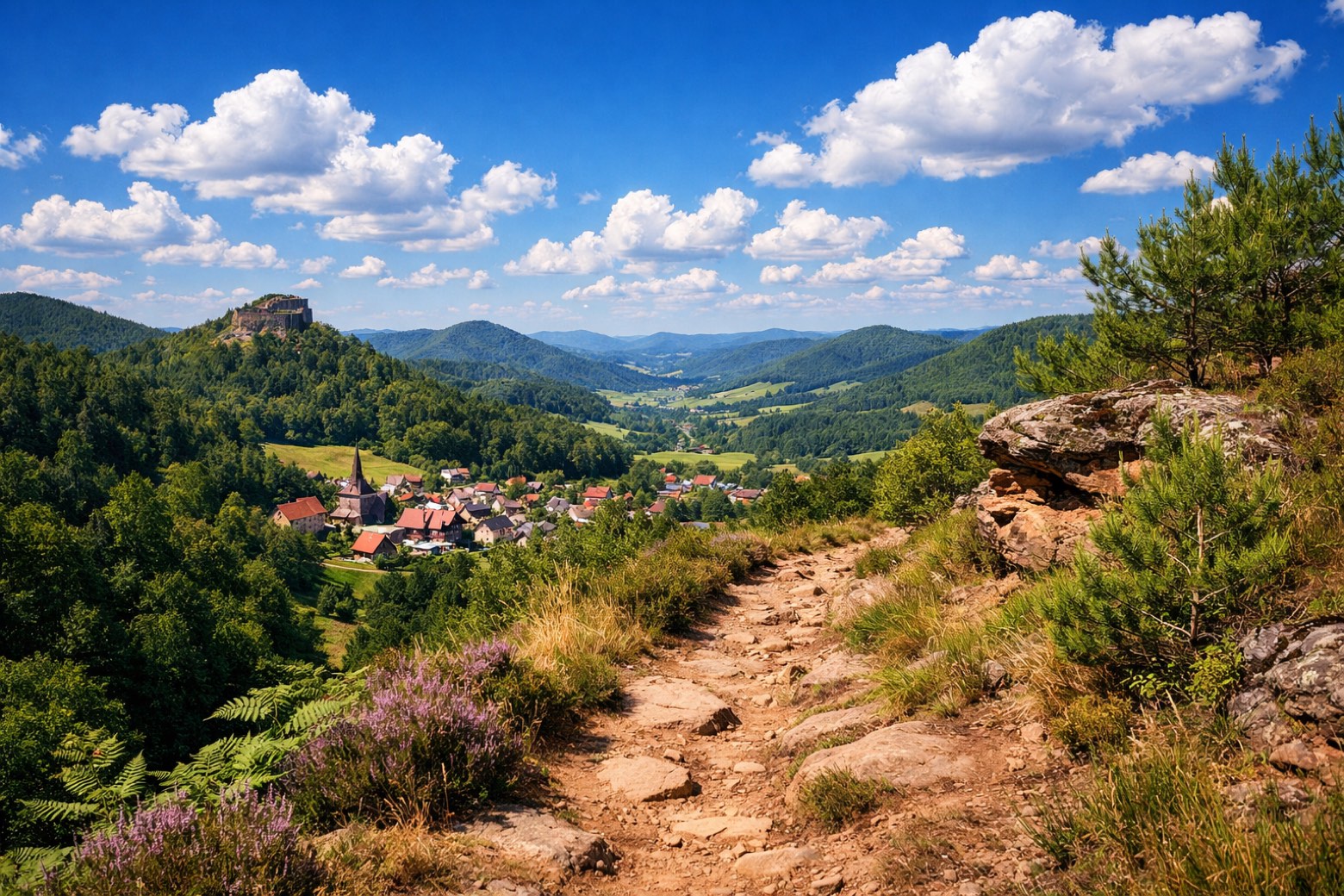
Reichenbach to Erlenbach bei Dahnmoderate
17 km572 m563 m
- 9
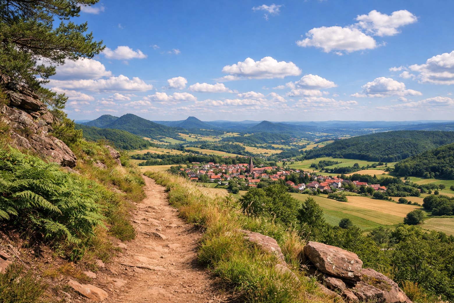
Erlenbach bei Dahn to Schweighofenmoderate
17 km424 m409 m
Plan this trip
Walk it with AppyPilgrim
Offline maps, stage detail, weather, and Appy AI for this route are in the app.
Get it on the App Store