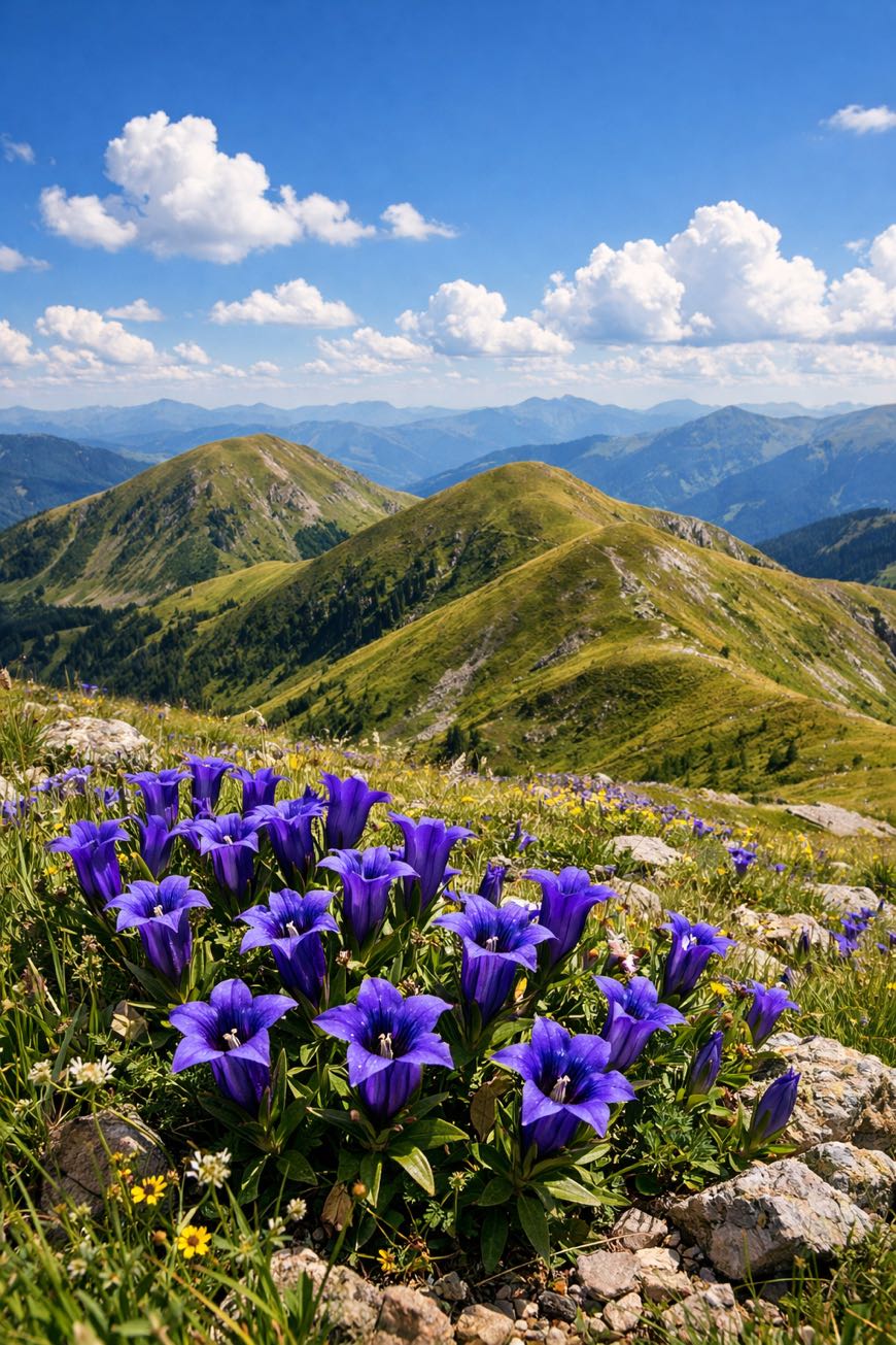
Nockberge-Trail
Kärnten, Austria
Austria, Katschberg to Seebach
Distance
128 km
Stages
8
Difficulty
moderate
Best months
Apr-Jun, Sep-Oct
About
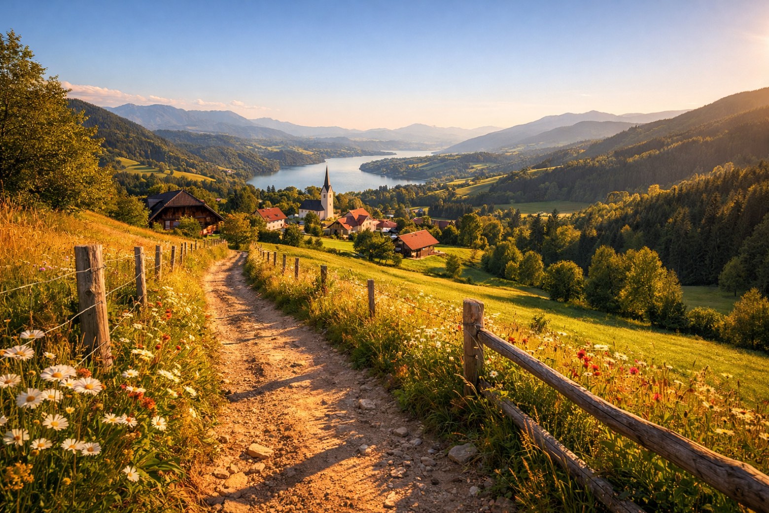
A 128.4-km journey through the Nock Mountains. Eight stages, 6,415 metres of elevation gain, and yet, the terrain is gentle, welcoming beginners. Start at Katschberg, where the scent of pine needles mingles with fresh alpine air. Traverse picturesque waypoints like Turracher Höhe and Bad Kleinkirchheim, pausing by tranquil lakes and rounded hilltops. This isn’t just a hike; it's a modern self-discovery through lush meadows and geological . Year-round accessibility means clarity awaits, whether in the spring blooms or autumn hues. Finish in Seebach, but the journey lingers.
Highlights
- Falkertsee
- Turracher Höhe
- Spitzeck
- Hochpalfennock
- Pfannnock
Stages
- 1
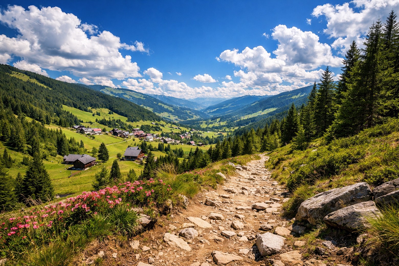
Katschberg to Rennweg am Katschbergmoderate
11 km513 m452 m
- 2
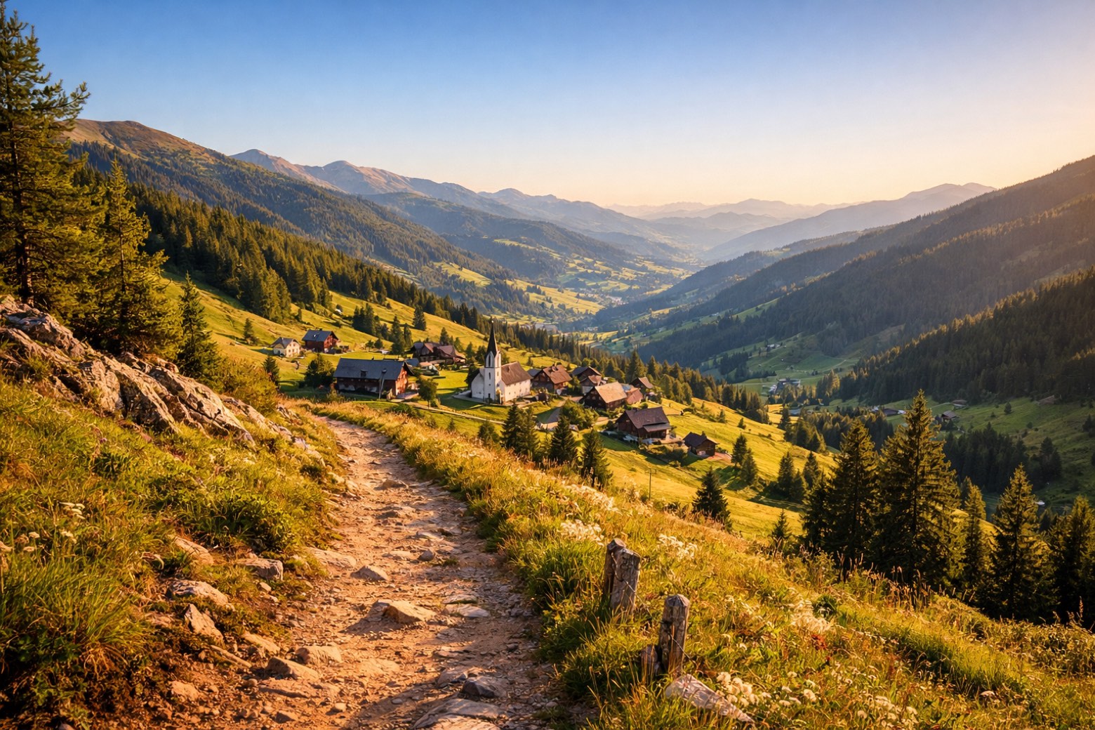
Rennweg am Katschberg to Innerkremsmoderate
15 km825 m978 m
- 3
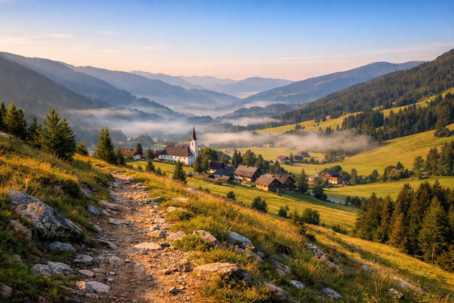
Innerkrems to Stadl-Predlitzmoderate
21 km989 m787 m
- 4
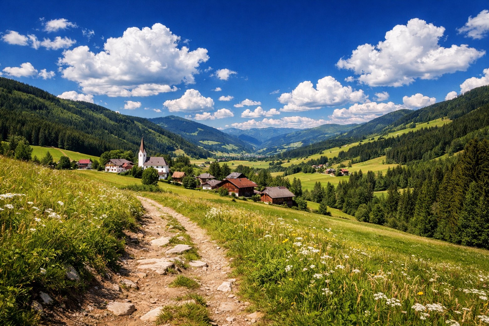
Stadl-Predlitz to Reichenauchallenging
18 km1158 m1063 m
- 5
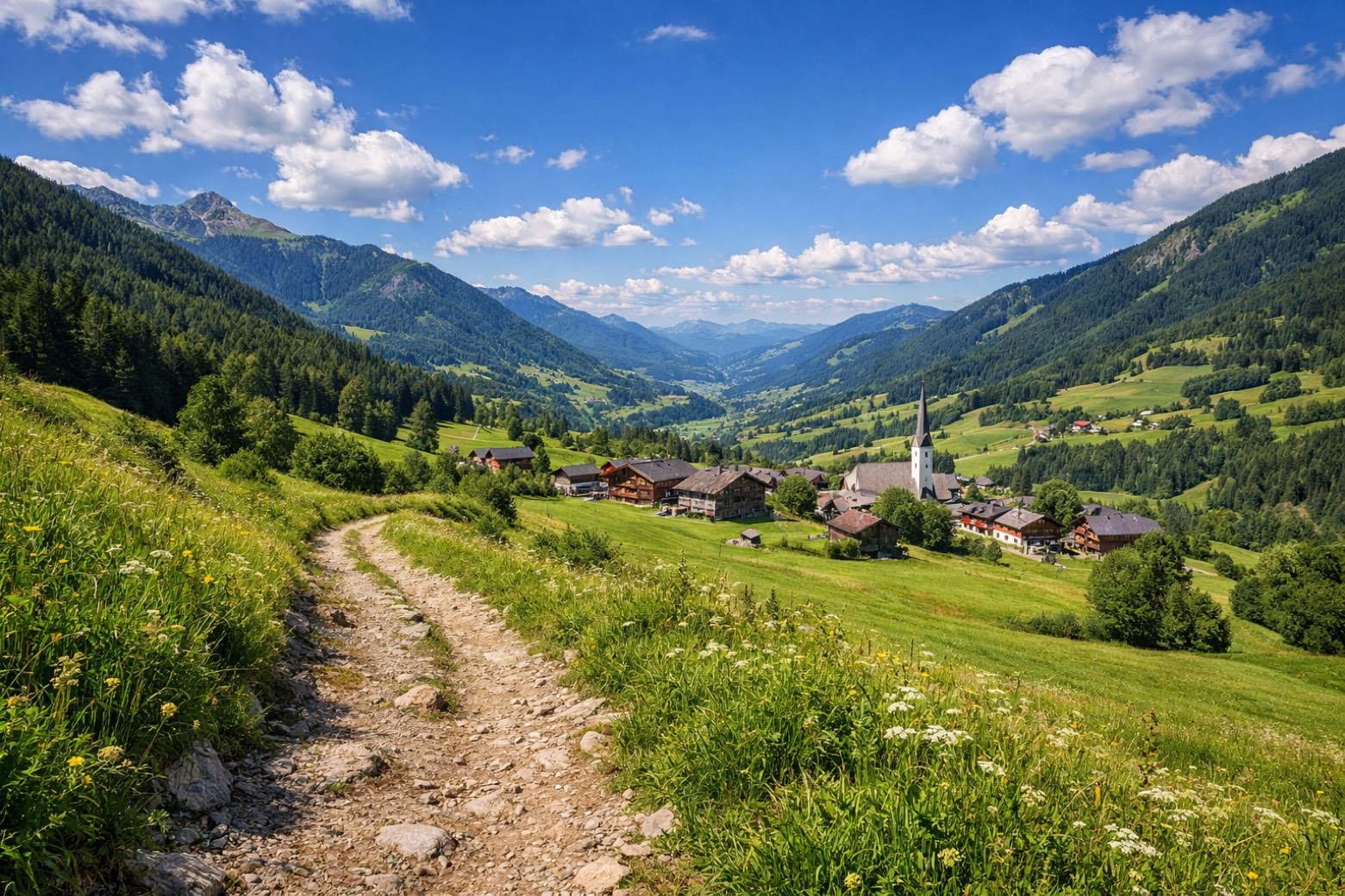
Reichenau to Bachmoderate
13 km403 m1259 m
- 6
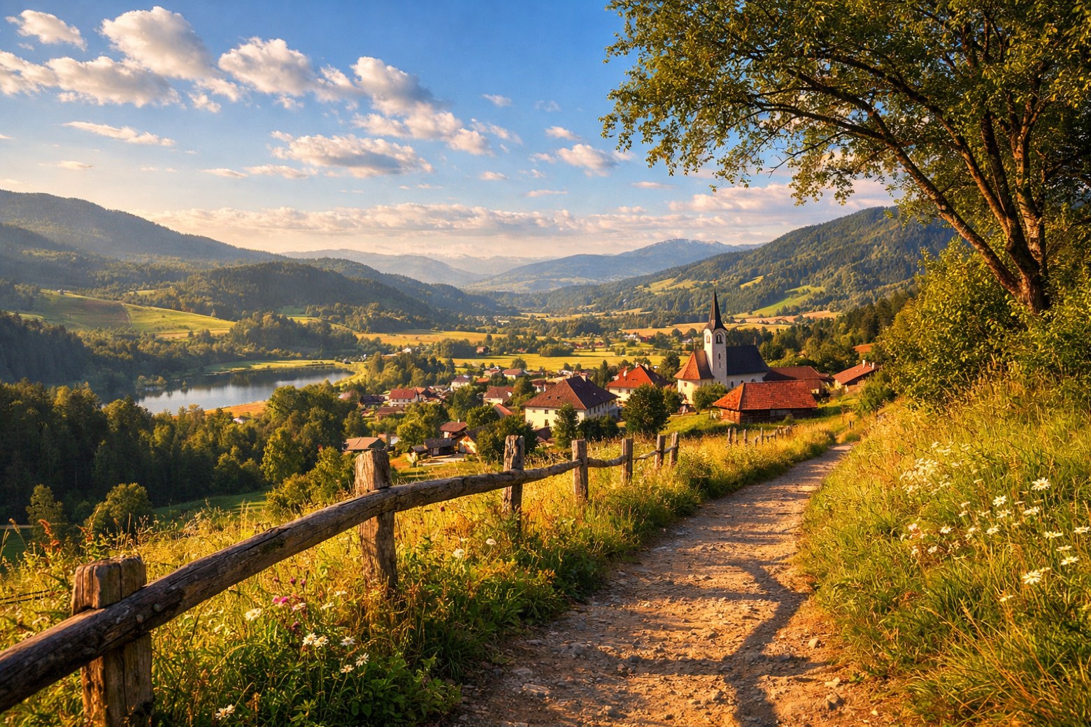
Bach to Radentheinchallenging
13 km1207 m564 m
- 7
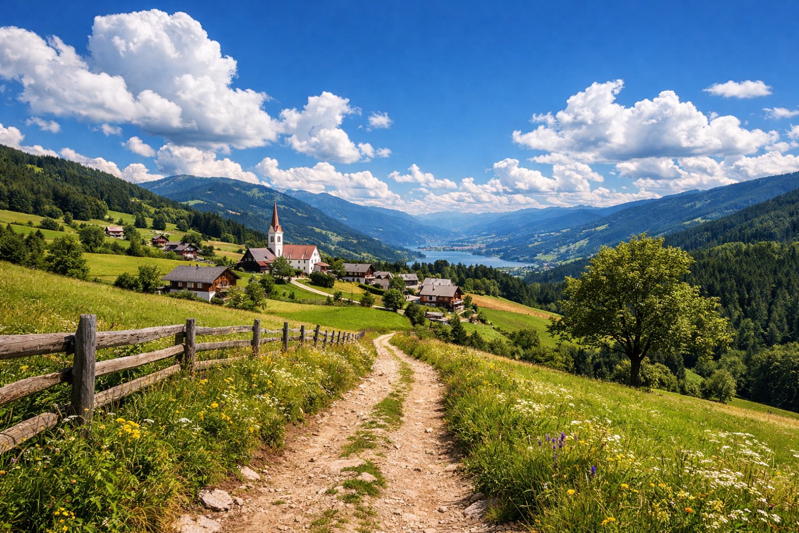
Radenthein to Obermillstattchallenging
22 km1047 m825 m
- 8
Obermillstatt to Seebachmoderate
16 km273 m1547 m
Plan this trip
Walk it with AppyPilgrim
Offline maps, stage detail, weather, and Appy AI for this route are in the app.
Get it on the App Store