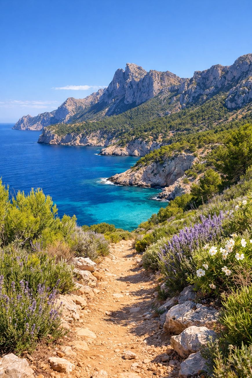
GR221 Serra de Tramuntana (Mallorca)
Islas Baleares, Spain
Mallorca, Port d'Andratx to Port de Pollença
Distance
143 km
Stages
8
Difficulty
moderate
Best months
Apr-Jun, Sep-Oct
About
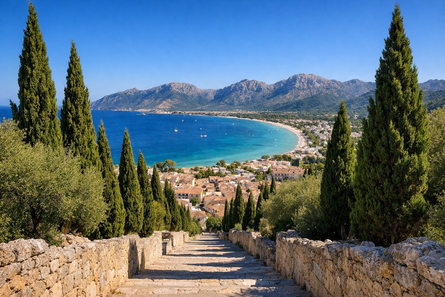
A 140 km traverse through Mallorca’s wild heart. Eight stages of rocky paths, terraced fields, and Mediterranean vistas. The GR221 Serra de Tramuntana starts at Port d'Andratx, where the scent of saltwater mingles with pine. It winds through ancient villages like Soller and Deia, each step echoing centuries of trade and tradition. Elevation gains of 5,120 m reward the effort, the highest point, 1,430 m, offers views. A UNESCO World Heritage site, it’s not just a hike; it’s a journey through history and nature, culminating at Port de Pollença.
Highlights
- Cova des Moro
- Puig de Galatzó
- Conjunto Histórico de Estellenchs
- Naveta de les Sínies
- Mola de l'Esclop
Stages
- 1
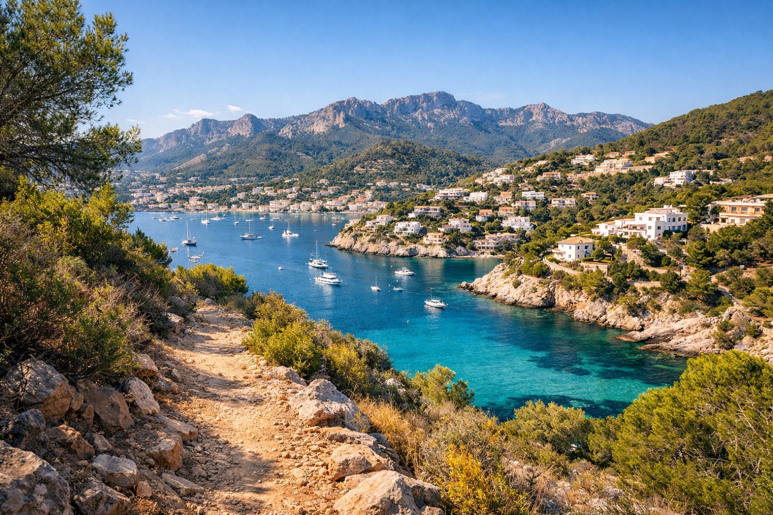
Port d'Andratx to Sant Elmmoderate
9 km416 m395 m
- 2
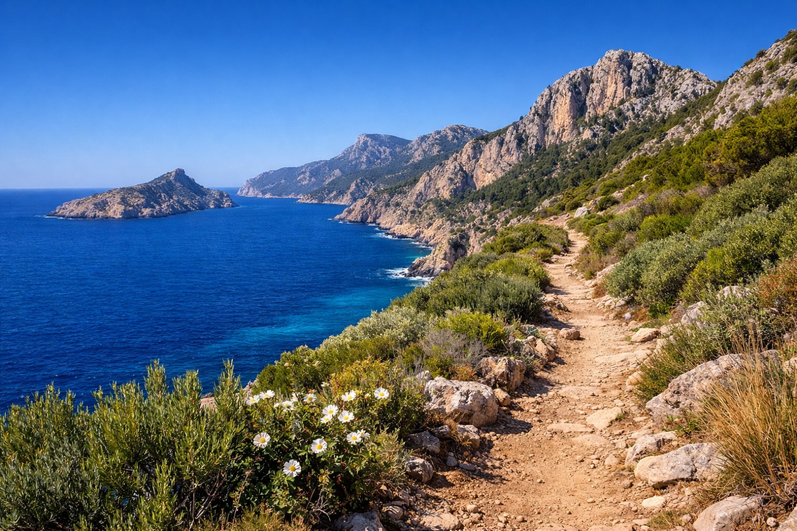
Sant Elm to Estellencschallenging
27 km1086 m965 m
- 3
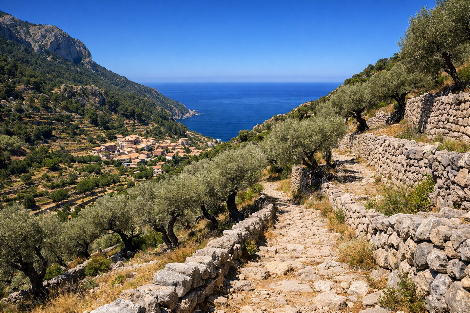
Estellencs to Esporlesmoderate
22 km670 m1032 m
- 4
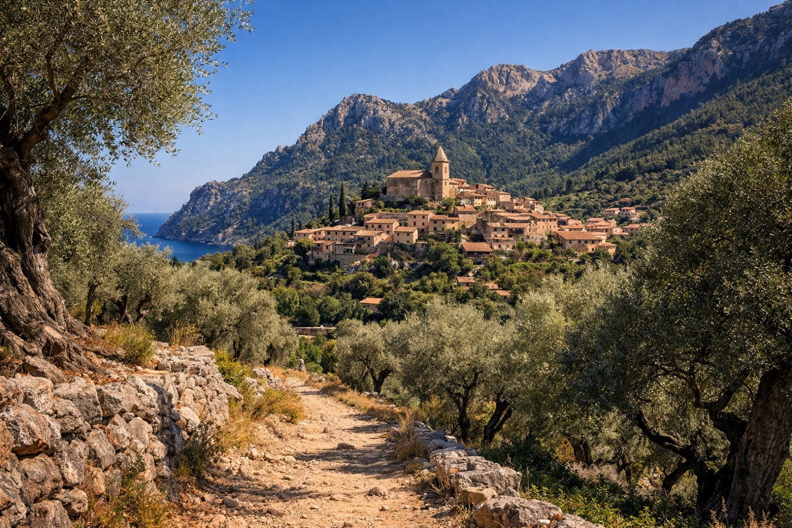
Esporles to Deiàchallenging
24 km1157 m1210 m
- 5
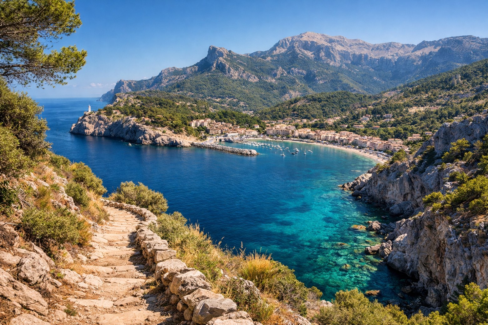
Deià to Port de Sóllermoderate
10 km439 m484 m
- 6
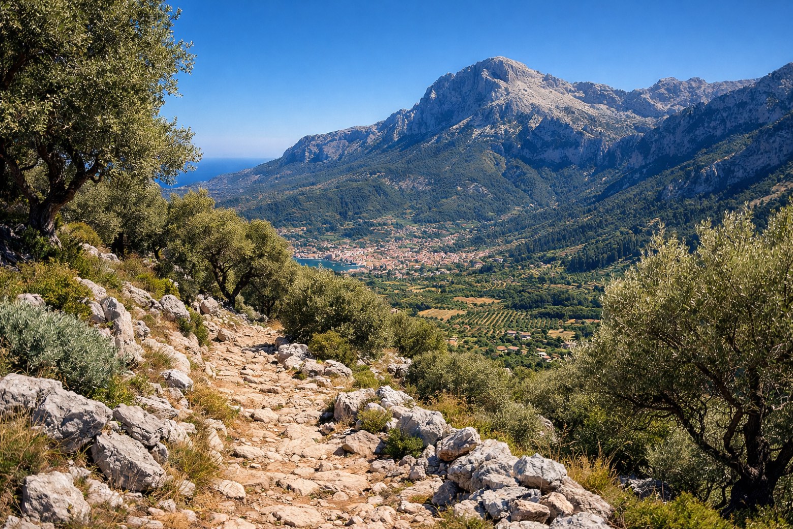
Port de Sóller to Escorcachallenging
28 km1133 m657 m
- 7
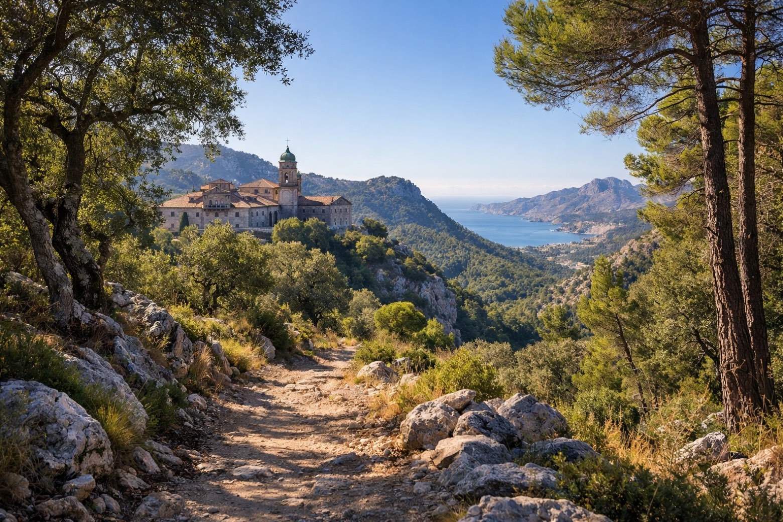
Lluc to Pollençamoderate
18 km217 m667 m
- 8
Pollença to Port de Pollençaeasy
7 km2 m32 m
Plan this trip
Walk it with AppyPilgrim
Offline maps, stage detail, weather, and Appy AI for this route are in the app.
Get it on the App Store