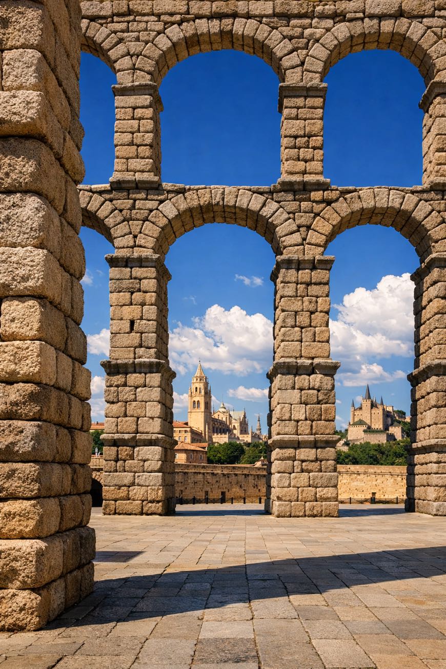
Camino de Madrid
Castilla y León, Spain
Spain, Madrid to Grajal de Campos
Distance
399 km
Stages
15
Difficulty
moderate
Best months
Apr-Jun, Sep-Oct
About
Four hundred fifty-one kilometers from Madrid to Grajal de Campos, a journey through time. This spiritual walk weaves through the heart of Spain, passing Camorritos and La Granja, where the scent of fresh bread mingles with ancient stone. With an elevation gain of 2,394 meters, it challenges you physically while inviting introspection. Thirty stages offer a varied of landscapes and local traditions, each village a chapter in the story. Hikers traverse this route year-round, finding solace in its history and the rhythm of their own footsteps.
Highlights
- Convento de Nuestra Señora del Rosario
- Monasterio de Santa Clara
- Palacio de O'Reilly
- Alcázar de Segovia
- Monasterio de Santa Ana
Stages
- 1
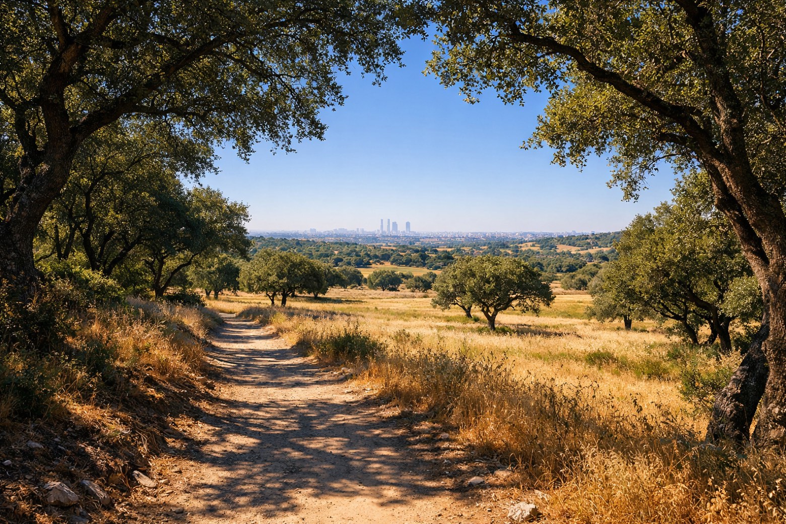
Madrid to Tres Cantosmoderate
22 km259 m177 m
- 2
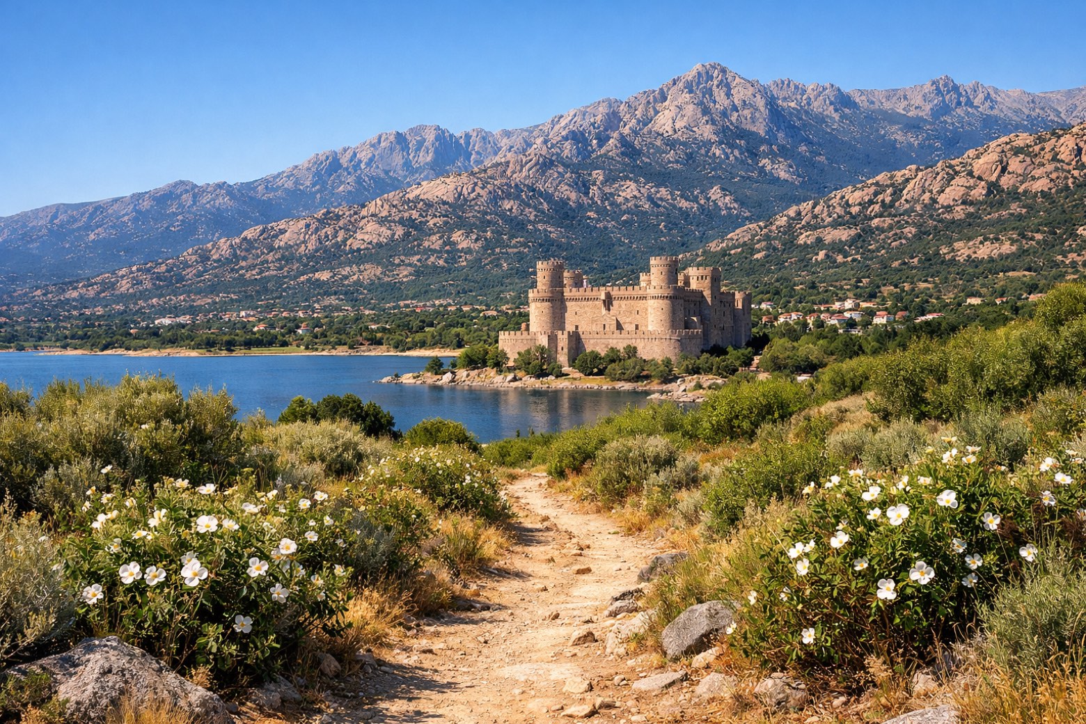
Tres Cantos to Manzanares el Realmoderate
25 km438 m274 m
- 3
Manzanares el Real to Cercedillachallenging
25 km923 m186 m
- 4
Cercedilla to Segoviamoderate
25 km175 m836 m
- 5
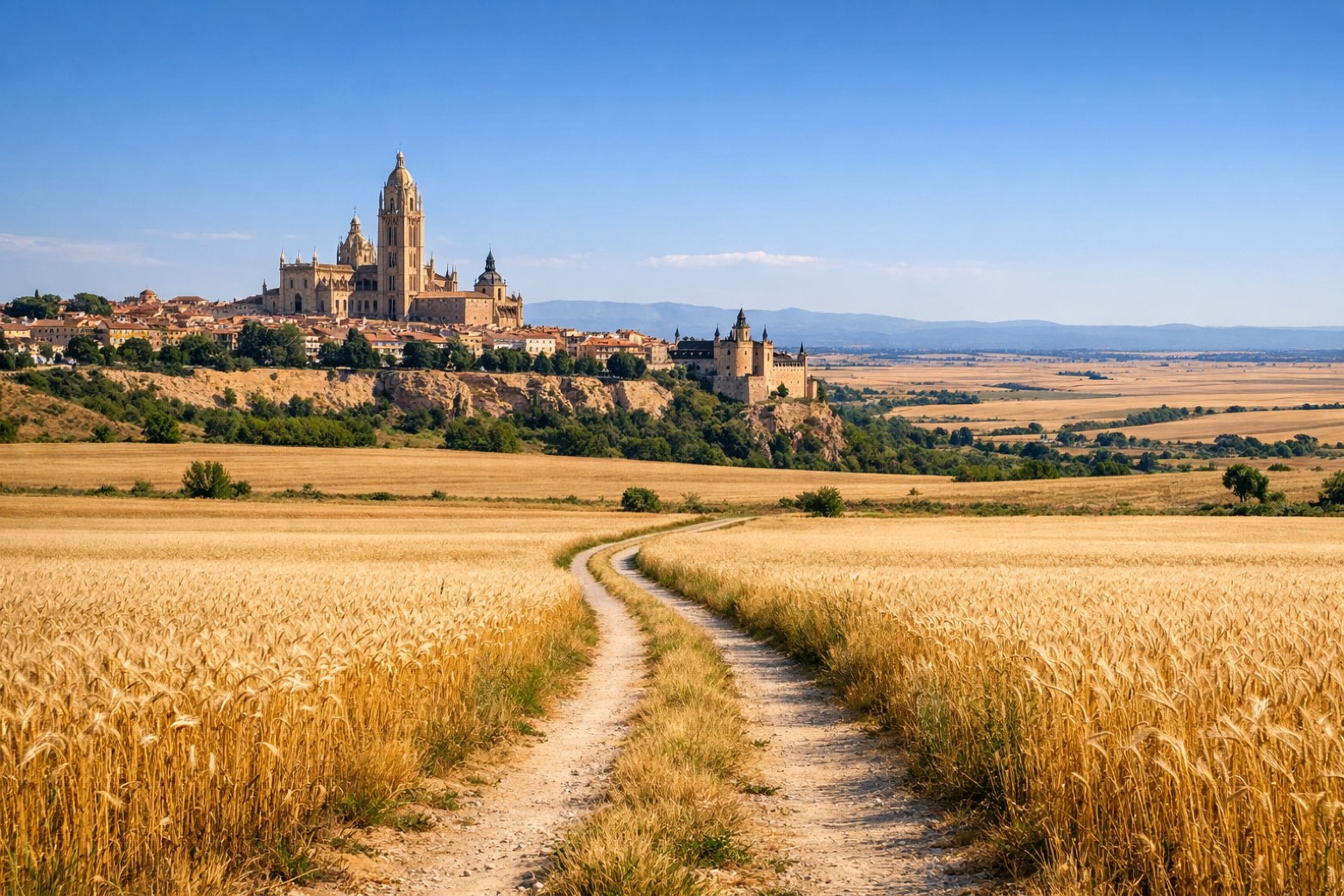
Segovia to Santa María la Real de Nievachallenging
35 km268 m355 m
- 6
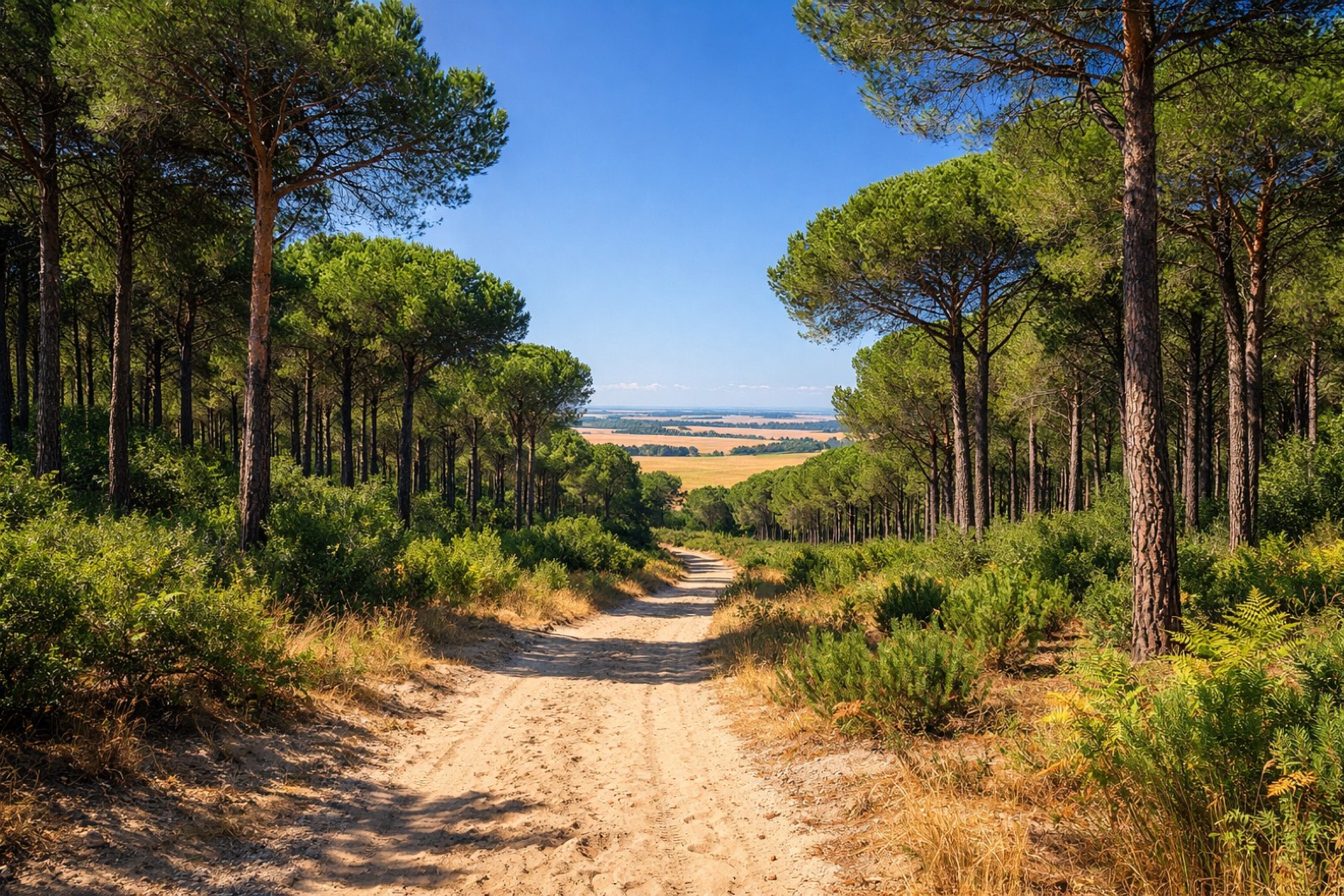
Santa María la Real de Nieva to Cocamoderate
22 km42 m155 m
- 7
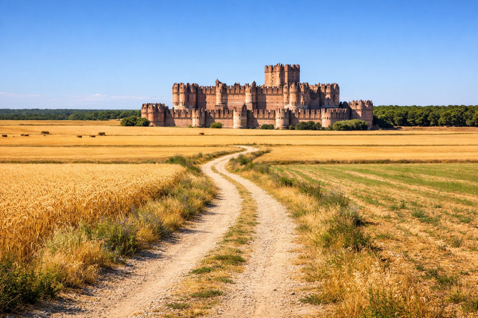
Coca to Medina del Campochallenging
33 km74 m153 m
- 8
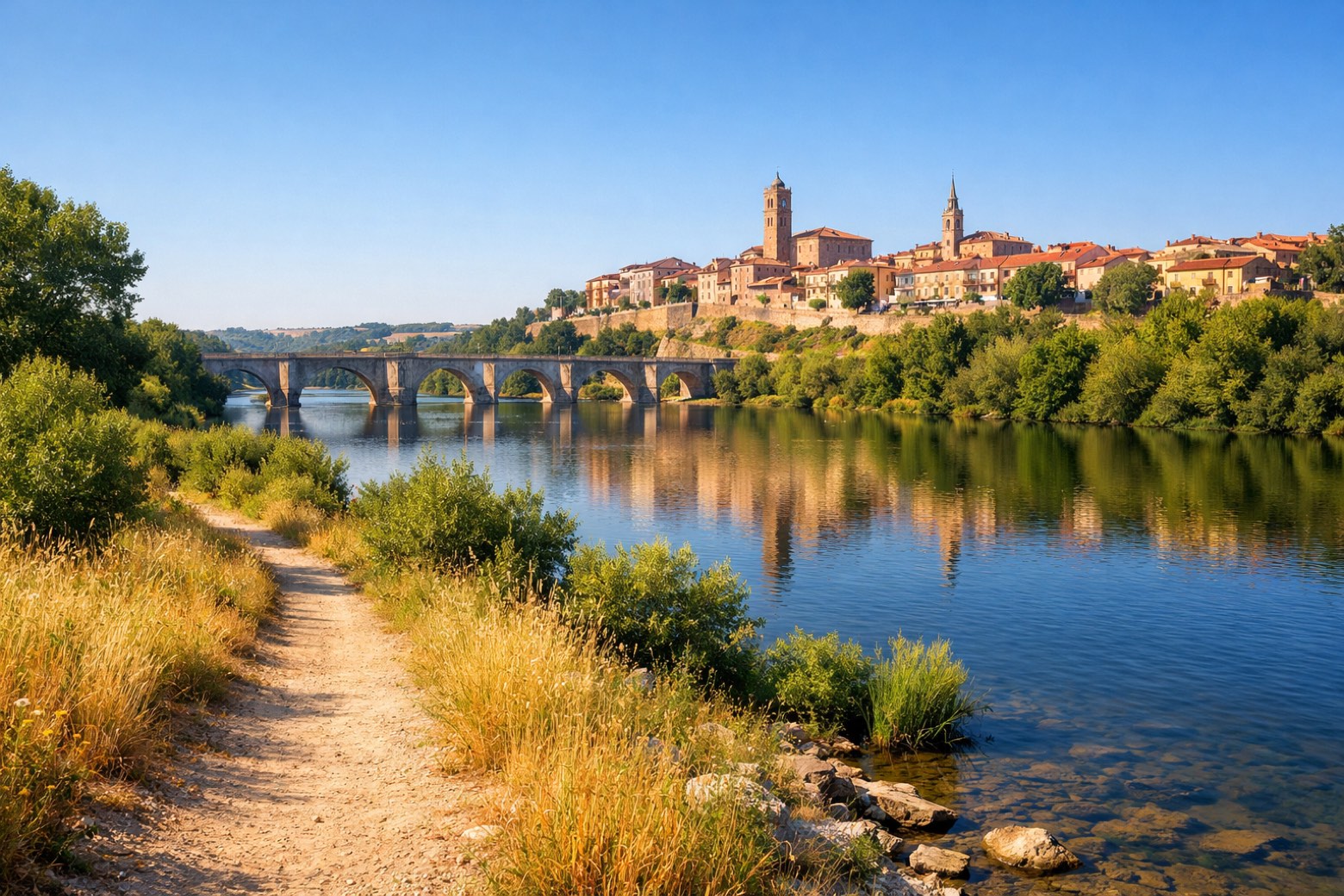
Medina del Campo to Tordesillasmoderate
22 km125 m119 m
- 9
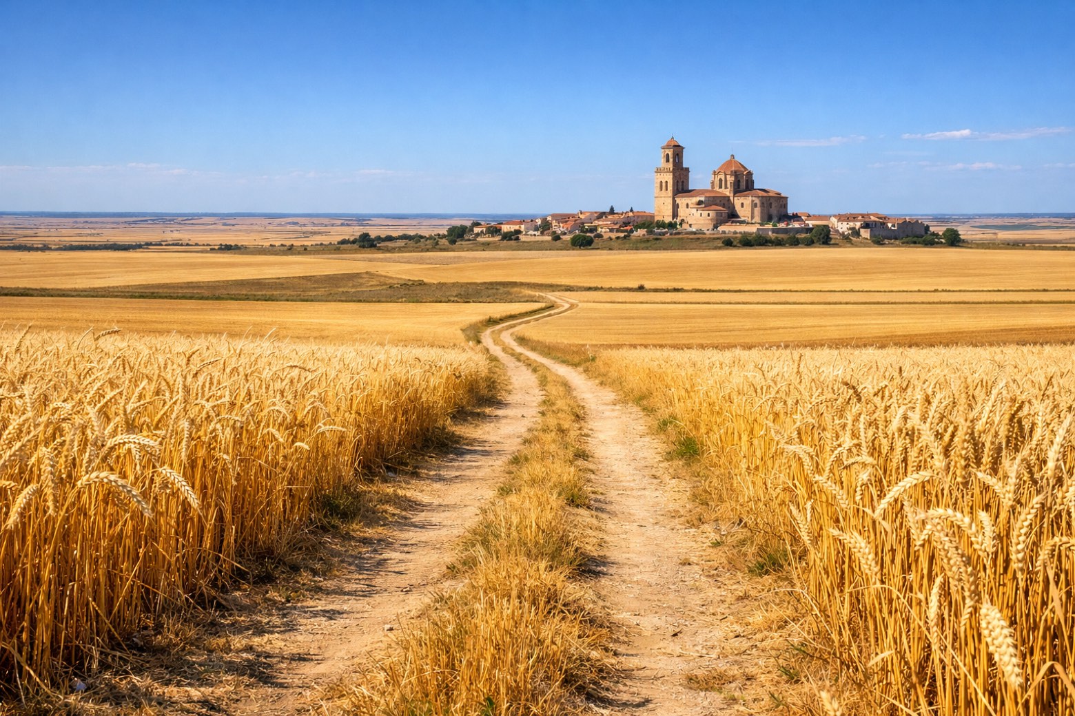
Tordesillas to Torochallenging
32 km321 m200 m
- 10
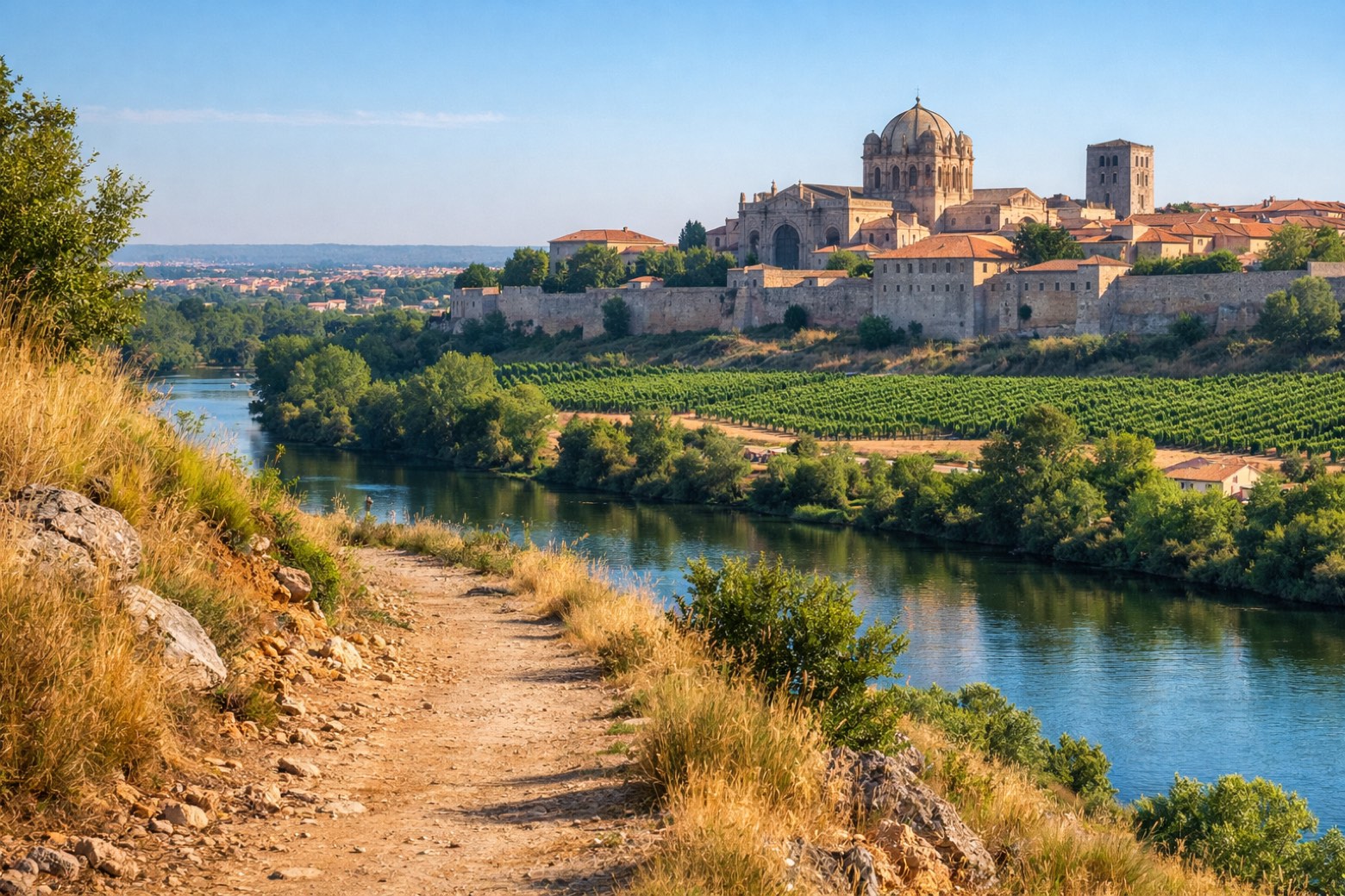
Toro to Zamorachallenging
33 km27 m35 m
- 11
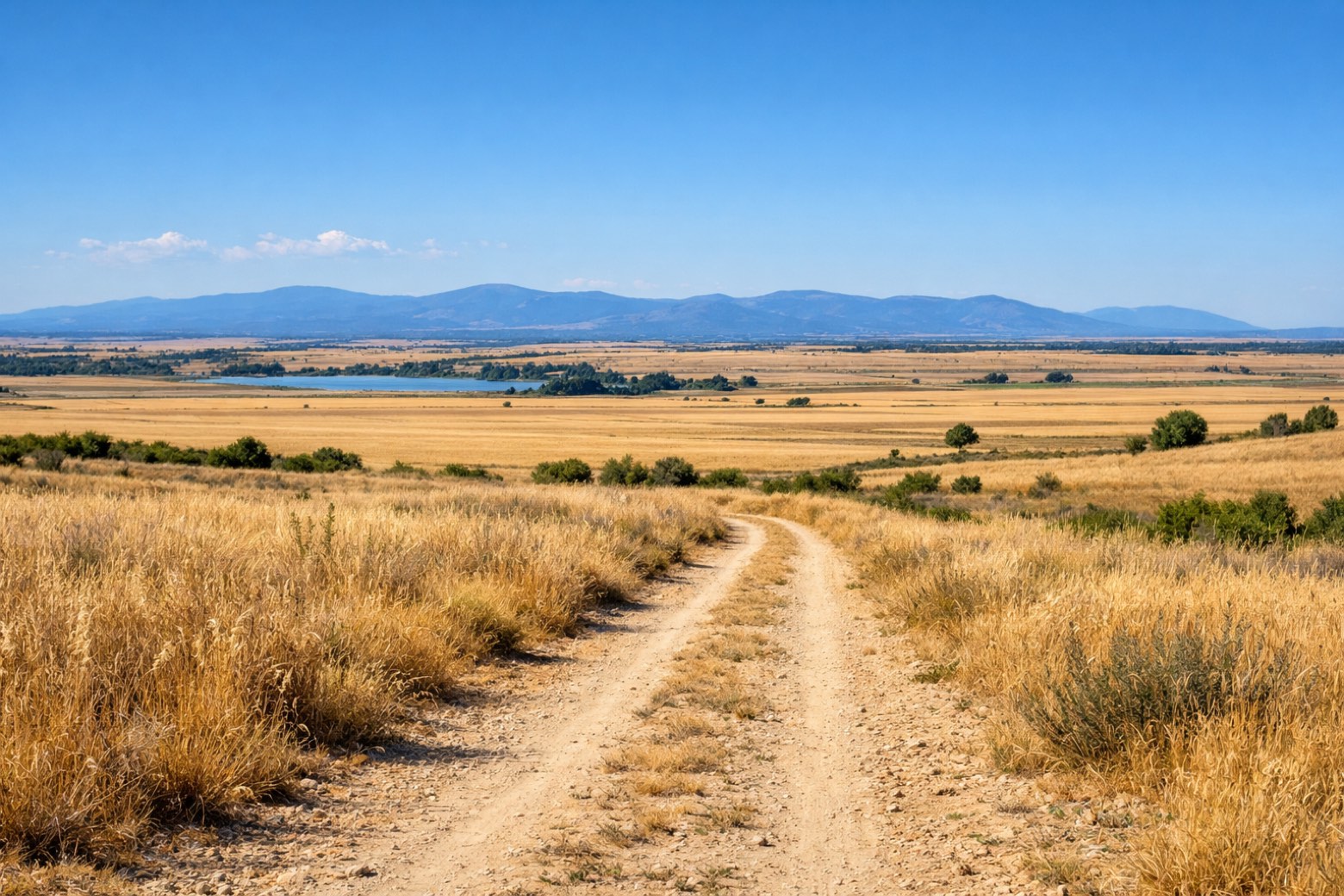
Zamora to Montamartamoderate
19 km3 m0 m
- 12
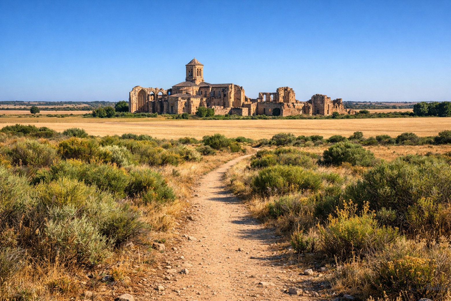
Montamarta to Granja de Moreruelamoderate
22 km42 m143 m
- 13
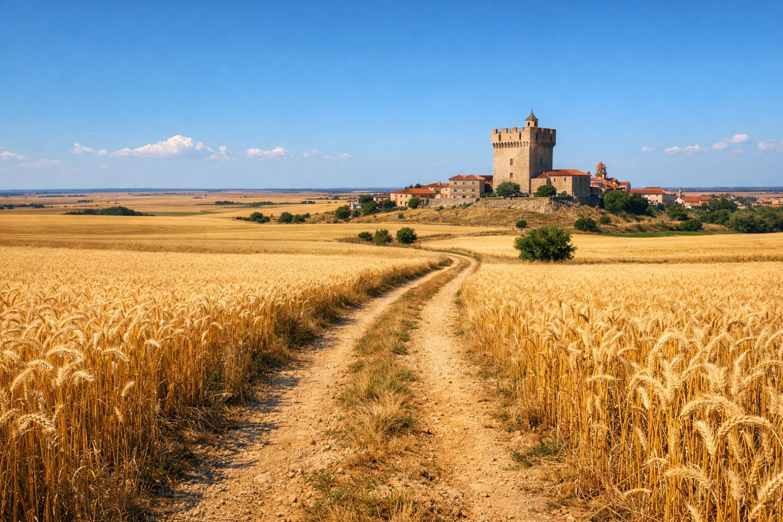
Granja de Moreruela to Benaventechallenging
27 km111 m66 m
- 14
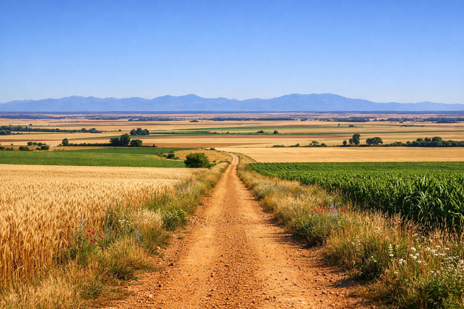
Benavente to Hospital de Órbigochallenging
40 km92 m114 m
- 15
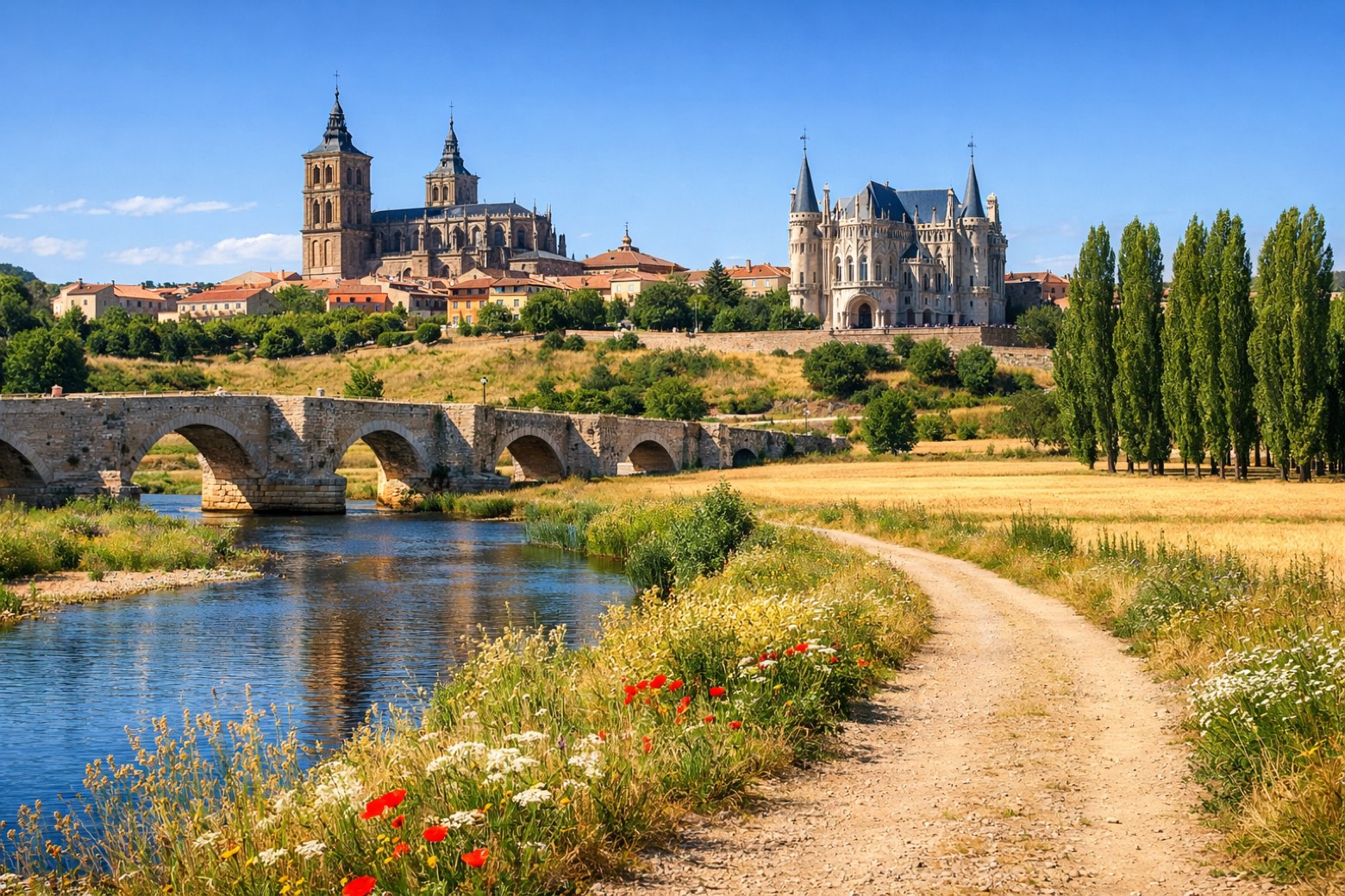
Hospital de Órbigo to Astorgamoderate
17 km0 m1 m
Plan this trip
Walk it with AppyPilgrim
Offline maps, stage detail, weather, and Appy AI for this route are in the app.
Get it on the App Store