Zepponami → Viterbo
Walking distance 17.6 km
Download Appy for the stage map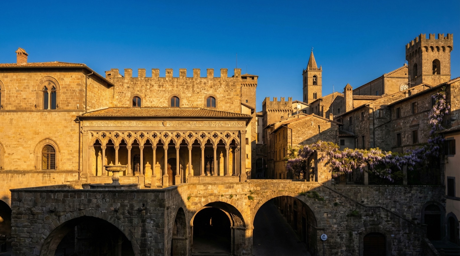
Stage information
- Ascent
- 91 m
- Descent
- 383 m
Difficulty: easy
Walking the stage
Walk an easy 18 km from Zepponami to Viterbo, with only 91 m of climbing along the way, passing through Cevoli and Paoletti.
Before leaving Zepponami, locate Colle Falisco on the map. It is close to the starting point. On arrival in Viterbo, consider a stop at Fontana di Piazza della Rocca, close to the finish.
Look for these places on the stage map: Cevoli, Paoletti, Ombrone, and Teverina.
What to see on this stage
History and landmarks
Colle Falisco
< 100 m from the trail as the crow flies
Colle Falisco is a hill in the Volsini mountains located in the municipality of Montefiascone in the province of Viterbo, offering a panoramic view of Lake Bolsena and the plain leading towards Viterbo.
Fontana di Piazza della Rocca
< 100 m from the trail as the crow flies
Fountain, designed by Giacomo Barozzi da Vignola, in Viterbo, Italy.
Nature and landscape
Monte Lugo
Summit · 400 m from the trail as the crow flies
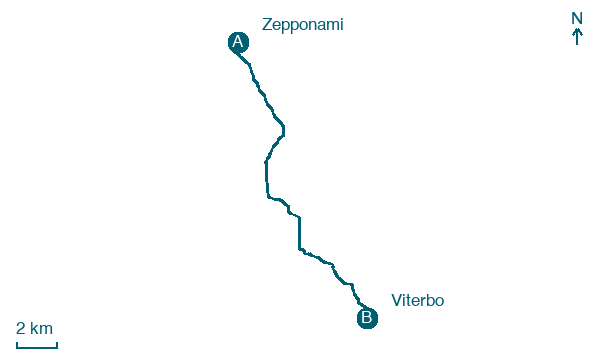
Map · Zepponami → Viterbo
Take your walk with you: download Appy
Via Francigena: Zepponami → Viterbo. Explore maps, stages and elevation in the app, and plan your train or bus journey.

