Neda → Pontedeume
Walking distance 12.9 km
Download Appy for the stage map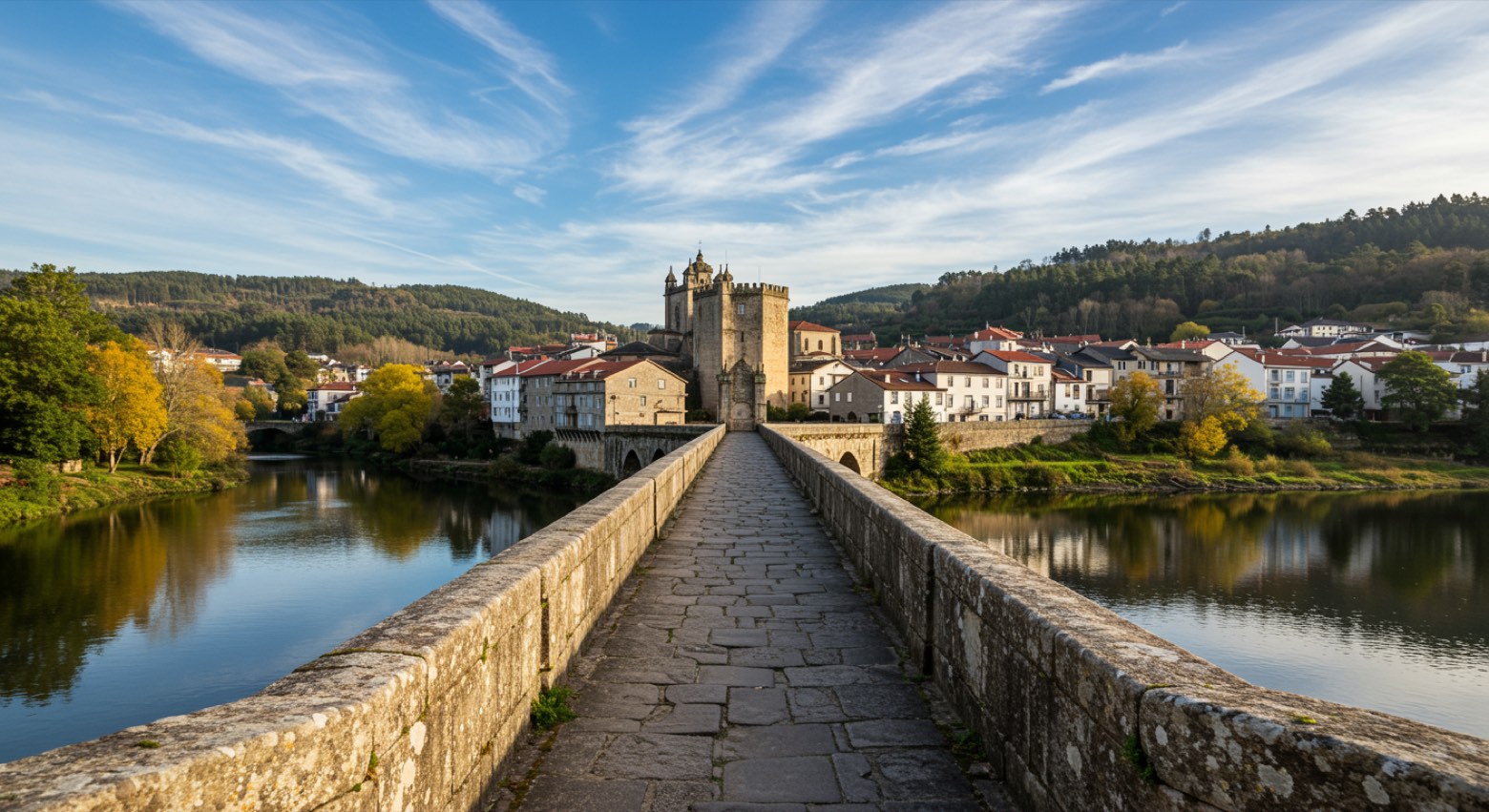
Stage information
- Ascent
- 214 m
- Descent
- 220 m
Difficulty: easy
Walking the stage
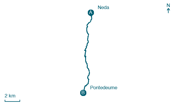
Walk 13 km from Neda to Pontedeume via As Foxas, O Rego da Moa, O Peón and O Batán, gaining 214 m.
On arrival in Pontedeume, consider a stop at Torre de Andrade, close to the finish.
Look for these places on the stage map: O Puntal de Arriba, As Foxas, O Peón, and O Batán.
What to see on this stage
History and landmarks
Torre de Andrade
Tower · 100 m from the trail as the crow flies
Tower, in Pontedeume, Spain, designated as bien de interés cultural.
Monastery of Xuvia
Monastery · 1.1 km from the trail as the crow flies
Romanesque church of a Cluniac monastery, with three semicircular apses that show a French taste brought by the monks from 1114. Its single doorway has no tympanum, and the source claims no other known Romanesque church has one like it.
Nature and landscape
Pena do Raposo
Summit · 600 m from the trail as the crow flies
O Lodeiro
Summit · 1.1 km from the trail as the crow flies
Map · Neda → Pontedeume
Take your walk with you: download Appy
Camino Inglés (Ferrol): Neda → Pontedeume. Explore maps, stages and elevation in the app, and plan your train or bus journey.

