Poggio Bustone → Rieti
Walking distance 17.3 km
Download Appy for the stage map
Stage information
- Ascent
- 273 m
- Descent
- 588 m
Difficulty: moderate
Walking the stage
The gentlest day. Down from Poggio Bustone through Cantalice, the stone village stacked on its spur, then along the wooded hillside to the Santuario La Foresta and the last kilometres into Rieti, the town that calls itself the centre of Italy. About 17 km.
On arrival in Rieti, consider a stop at Palazzo Vescovile, close to the finish.
Look for these places on the stage map: Villa Falilò, San Liberato, San Felice all'Acqua, and Santuario della Foresta.
What to see on this stage
History and landmarks
Porta Cintia iron gate
< 100 m from the trail as the crow flies
Historic gate, in Rieti, Italy, designated as Italian national heritage.
Palazzo Vescovile
Palace · < 100 m from the trail as the crow flies
Palazzo Vescovile, or Palazzo Papale, is a historic building in Rieti.
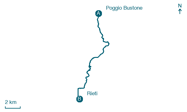
Map · Poggio Bustone → Rieti
Take your walk with you: download Appy
Anello della Valle Santa di Rieti: Poggio Bustone → Rieti. Explore maps, stages and elevation in the app, and plan your train or bus journey.

