Greccio → Poggio Bustone
Walking distance 21.4 km
Download Appy for the stage map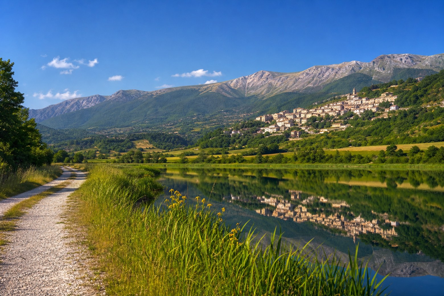
Stage information
- Ascent
- 508 m
- Descent
- 382 m
Difficulty: moderate
Walking the stage
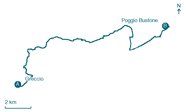
From the Santuario di Greccio the path drops to the floor of the Valle Santa and crosses it northwards along the reed beds and the lakes, then climbs the far side to Poggio Bustone, the hill town where Francis first arrived in the valley, with the Santuario di San Giacomo just above it. About 21 km.
Before leaving Greccio, locate Sanctuary of Greccio on the map. It is close to the starting point.
Look for these places on the stage map: Santuario di Greccio, Le Case, Villaggio Santa Maria, and Borgo San Pietro.
What to see on this stage
History and landmarks
Sanctuary of Greccio
< 100 m from the trail as the crow flies
A Franciscan hermitage set against the rock, nicknamed the Franciscan Bethlehem because in 1223 Saint Francis invented the nativity scene here. It is the oldest of the four sanctuaries of the Holy Valley of Rieti.
Monte Rosato
1.4 km from the trail as the crow flies
Monte Rosato is a peak of the Monti Reatini in Lazio, located in the municipality of Poggio Bustone (province of Rieti). The summit elevation is about 1510 m above sea level and the peak dominates the northeastern edge of the Piana Reatina.
Nature and landscape
lago Lungo
Lake · 1.2 km from the trail as the crow flies
Sorgente di Santa Susanna
< 100 m from the trail as the crow flies
Map · Greccio → Poggio Bustone
Take your walk with you: download Appy
Anello della Valle Santa di Rieti: Greccio → Poggio Bustone. Explore maps, stages and elevation in the app, and plan your train or bus journey.

