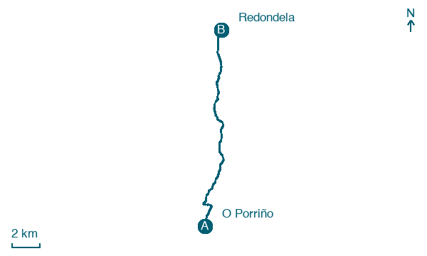
O Porriño → Redondela
Walking distance 15.7 km
Download Appy for the stage map
Stage information
- Ascent
- 308 m
- Descent
- 329 m
Difficulty: moderate (estimated)
Walking the stage
Walk 16 km from O Porriño to Redondela, through Cerqueirás and O Souto, with 308 m of ascent.
Look for these places on the stage map: Cerqueirás, Sobrado, Casal do Monte, and O Quinteiro.
What to see on this stage
History and landmarks
Monte Penide
1.5 km from the trail as the crow flies
Natural landmark, in Redondela, Spain, at 449 m elevation.
Mámoa do Rei
1.5 km from the trail as the crow flies
Monument, in Trasmañó, Redondela, Spain, designated as bien de interés cultural.
Nature and landscape
Alto dos Valos
Summit · 1.1 km from the trail as the crow flies
A Praia Vella
Beach · 1.2 km from the trail as the crow flies
Map · O Porriño → Redondela
Take your walk with you: download Appy
Camino Portugues da Tui: O Porriño → Redondela. Explore maps, stages and elevation in the app, and plan your train or bus journey.

