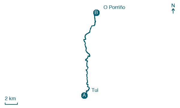
Tui → O Porriño
Walking distance 17.2 km
Download Appy for the stage map
Stage information
- Ascent
- 245 m
- Descent
- 262 m
Difficulty: moderate (estimated)
Walking the stage
Set out from Tui to O Porriño, 17 km with 245 m of ascent, passing A Madalena and Centeáns.
Before leaving Tui, locate Catedral de Santa María de Tuy on the map. It is close to the starting point.
Look for these places on the stage map: San Bartolomeu, Espendelo, Quintenla, and Os Eidos.
What to see on this stage
History and landmarks
Convento de Santo Domingo
Monastery · < 100 m from the trail as the crow flies
Gothic church with a Latin-cross plan and three apses, behind a neoclassical façade with a bell tower. The south transept doorway keeps pointed archivolts and a relief of the Epiphany; the cloister was rebuilt in modern times.
Catedral de Santa María de Tuy
Cathedral · < 100 m from the trail as the crow flies
A late Romanesque cathedral with a Gothic west front, whose main gate is thought to be the first Gothic sculpture group on the Iberian Peninsula, by French stonemasons. A portico of about 1250 reaches out to the square.
Nature and landscape
Gándaras de Budiño
National park · 400 m from the trail as the crow flies
Praia Fluvial de Areeiros
Beach · 1.3 km from the trail as the crow flies
Map · Tui → O Porriño
Take your walk with you: download Appy
Camino Portugues da Tui: Tui → O Porriño. Explore maps, stages and elevation in the app, and plan your train or bus journey.

