Ronciglione → Trevignano Romano
Walking distance 29.5 km
Download Appy for the stage map
Stage information
- Ascent
- 560 m
- Descent
- 836 m
Difficulty: moderate
Walking the stage
Cover 30 km from Ronciglione to Trevignano Romano, climbing 560 m, passing Sutri and Bassano Romano.
Look for these places on the stage map: Sutri, Bassano Romano, and Vicarello.
What to see on this stage
History and landmarks
Viale della Rimembranza di Sutri
< 100 m from the trail as the crow flies
The Viale della Rimembranza leading to the historic city consists of 18 trees on the left side and 13 on the right. Originally it was composed of 40 trees, each dedicated to a fallen soldier whose name was remembered on a tag.
Villa Giustiniani Odescalchi
< 100 m from the trail as the crow flies
Nature and landscape
Monti Sabatini
1.3 km from the trail as the crow flies
Monte Calvi
1.5 km from the trail as the crow flies
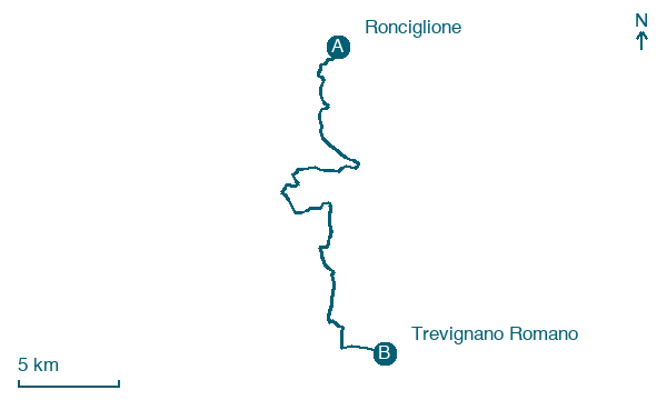
Map · Ronciglione → Trevignano Romano
Take your walk with you: download Appy
Romea Strata Italiana: Ronciglione → Trevignano Romano. Explore maps, stages and elevation in the app, and plan your train or bus journey.

