Clavans-le-Bas (Clavans-en-Haut-Oisans) to Chalets du Fay et des Mouterres (Mizoën)
- Distance
- 9.6 km
- Ascent
- 1053 m
- Descent
- 147 m
- Difficulty
- moderate
Cross the Torrent du Ferrand and climb to Besse. Beyond Col Nazié the park’s day track leaves the GR54 at the Torrent du Rif Tord to reach the pastures between Chalet-Refuge du Fay and Refuge des Mouterres. Photograph — Clavans-le-Bas (Clavans-en-Haut-Oisans) (Rémih, CC BY-SA 4.0). Wikimedia Commons. Cropped and resized.
Open this stage in Appy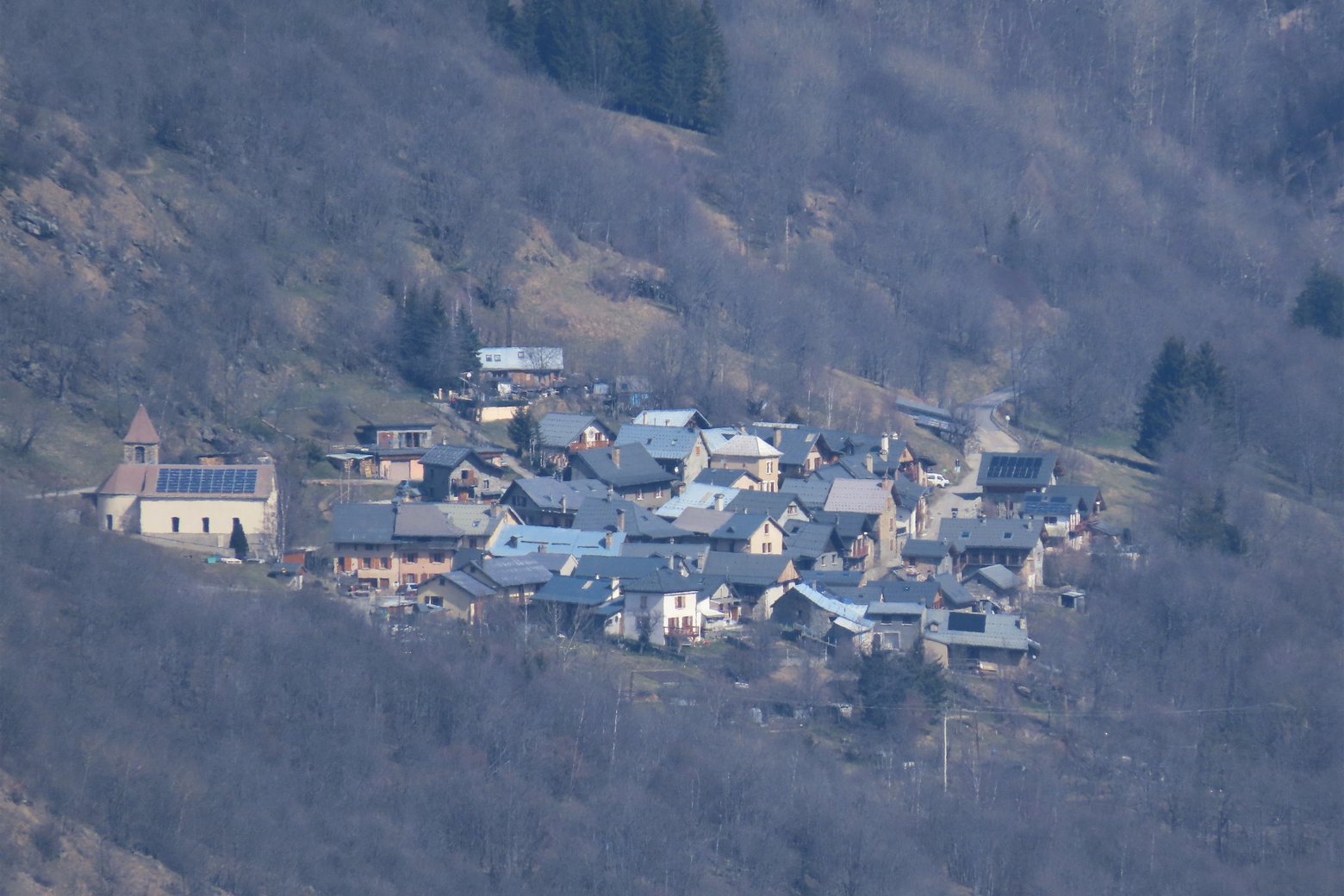
Look for these places on the stage map: Besse.
What to see on this stage
History and landmarks
Maison des Alpages
Museum · < 100 m from the trail as the crow flies
Croix de Saint-Georges
< 100 m from the trail as the crow flies
Nature and landscape
Col Saint-Georges
< 100 m from the trail as the crow flies
Col Nazié
< 100 m from the trail as the crow flies