Chalets du Fay et des Mouterres (Mizoën) to Alpe de Villar-d’Arêne
- Distance
- 23.1 km
- Ascent
- 1072 m
- Descent
- 1244 m
- Difficulty
- challenging
Return to the stream junction on the Plateau d’Emparis, cross Col du Souchet and descend towards La Grave. The final climb reaches the pastures between Refuge de l’Alpe de Villar-d’Arêne and Chalet-Refuge de Chamoissière. Photograph — Le Chazelet (La Grave) (Dominicus Johannes Bergsma, CC BY-SA 3.0). Wikimedia Commons. Cropped and resized.
Open this stage in Appy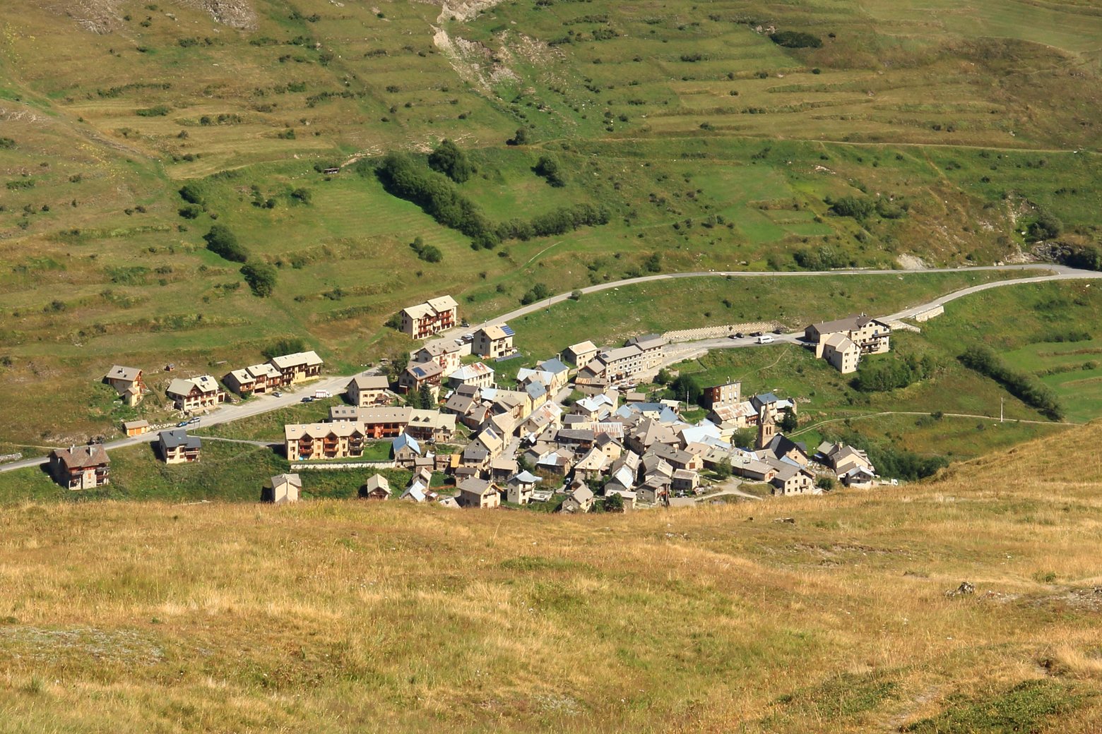
Look for these places on the stage map: Le Chazelet, Les Terrasses, La Grave, and Villar-d'Arêne.
What to see on this stage
History and landmarks
Les Terrasses
< 100 m from the trail as the crow flies
Oratoire Sainte-Anne du Chazelet
< 100 m from the trail as the crow flies
Nature and landscape
Le Pas dans le Vide
< 100 m from the trail as the crow flies
Col du Souchet
< 100 m from the trail as the crow flies