Lac de Vallonpierre (La Chapelle-en-Valgaudémar) to La Chapelle-en-Valgaudémar
- Distance
- 14.1 km
- Ascent
- 72 m
- Descent
- 1218 m
- Difficulty
- easy
Leave Lac de Vallonpierre on its eastern side. The short lakeside connection follows the national park’s continuous GR54 track. Below Refuge du Clot Xavier Blanc, the descent passes Le Rif du Sap and Le Bourg before reaching La Chapelle-en-Valgaudémar. Photograph — Église de l’Assomption-de-la-Vierge de La Chapelle-en-Valgaudémar (Fr.Latreille, CC BY 4.0). Wikimedia Commons. Cropped and resized.
Open this stage in Appy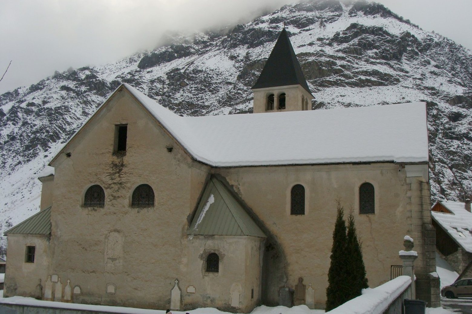
On arrival in La Chapelle-en-Valgaudémar, consider a stop at Cadran solaire de Rémy Potey, close to the finish.
Look for these places on the stage map: Le Rif du Sap, Le Bourg, and Le Casset.
What to see on this stage
History and landmarks
Cadran solaire de Rémy Potey
< 100 m from the trail as the crow flies
Maison du Parc du Valgaudemar
Museum · 100 m from the trail as the crow flies
Nature and landscape
Cascade de Combefroide
600 m from the trail as the crow flies
Col de Vallonpierre
1.2 km from the trail as the crow flies