La Chapelle-en-Valgaudémar to Refuge des Souffles (Villar-Loubière)
- Distance
- 10 km
- Ascent
- 975 m
- Descent
- 111 m
- Difficulty
- moderate
Follow the valley to Villar-Loubière, where the old watermill stands near the village. The route then climbs in woodland above the Torrent du Lautier to Refuge des Souffles. Photograph — Chapelle Saint-Joseph des Andrieux (La Chapelle-en-Valgaudémar) (Fr.Latreille, CC BY-SA 3.0). Wikimedia Commons. Cropped and resized.
Open this stage in Appy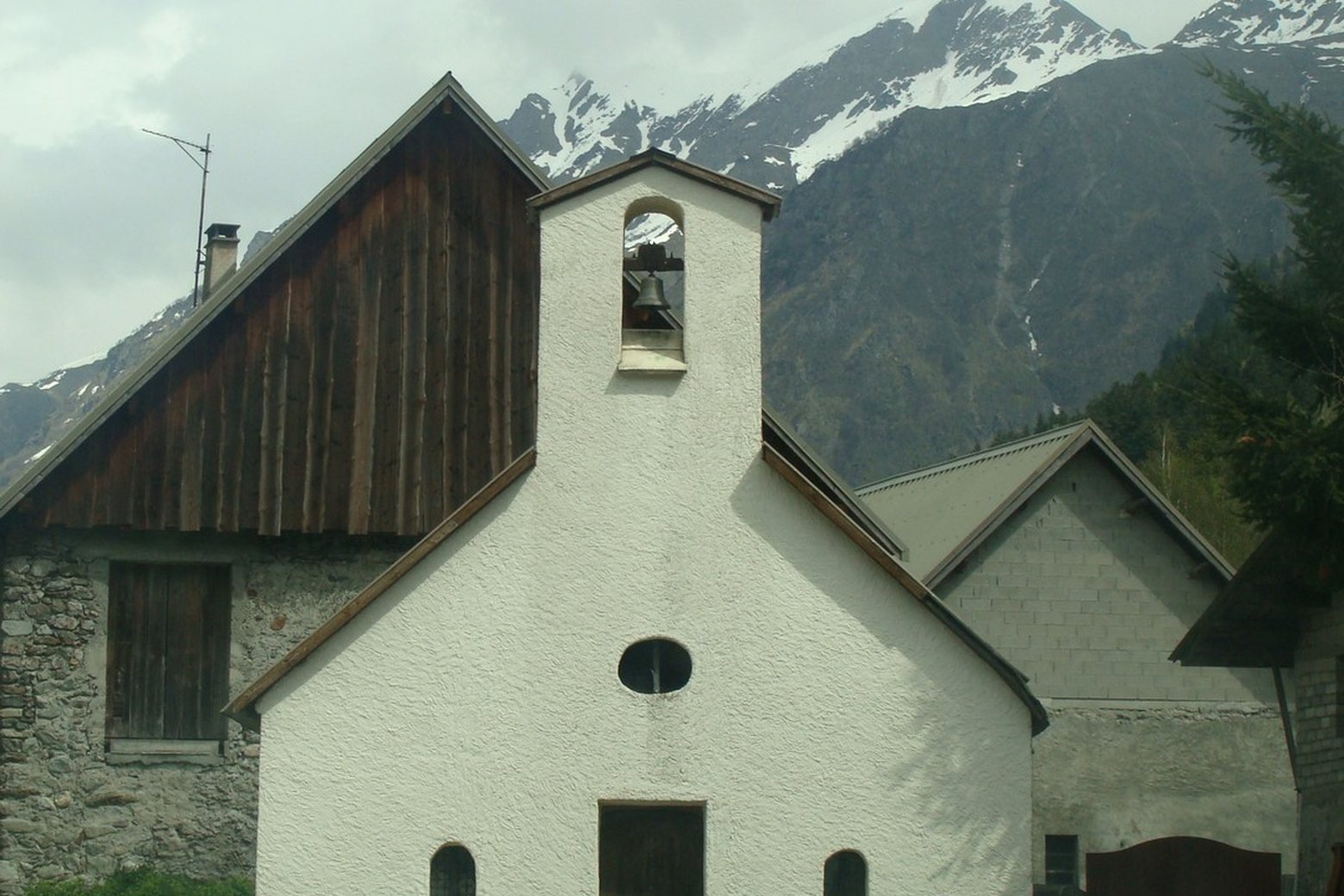
Before leaving La Chapelle-en-Valgaudémar, locate Cadran solaire de Rémy Potey on the map. It is close to the starting point. On arrival in Refuge des Souffles (Villar-Loubière), consider a stop at Col des clochettes, close to the finish.
Look for these places on the stage map: Les Andrieux.
What to see on this stage
History and landmarks
Cadran solaire de Rémy Potey
< 100 m from the trail as the crow flies
Moulin de Villar-Loubière
< 100 m from the trail as the crow flies
Nature and landscape
Col des clochettes
600 m from the trail as the crow flies
Cascade de Combefroide
900 m from the trail as the crow flies