Pontremoli → Aulla
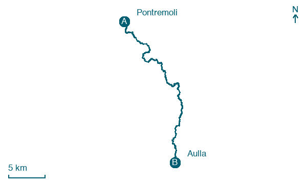
Walking distance 32.2 km
Download Appy for the stage map
Stage information
- Ascent
- 261 m
- Descent
- 442 m
Difficulty: moderate
Walking the stage
Follow a 32 km stage from Pontremoli to Aulla, with 261 m of climbing on the way, passing through Santissima Annunziata and Pala.
Before leaving Pontremoli, locate Torre civica del palazzo del comune on the map. It is close to the starting point.
Look for these places on the stage map: Santissima Annunziata, Filattiera, Cortenovo, and Masero.
What to see on this stage
History and landmarks
Torre civica del palazzo del comune
Tower · < 100 m from the trail as the crow flies
Tower, in Pontremoli, Italy.
Ponte Cesare Battisti
Bridge · < 100 m from the trail as the crow flies
20th-century bridge, in Pontremoli, Italy.
Map · Pontremoli → Aulla
Take your walk with you: download Appy
Via Francigena: Pontremoli → Aulla. Explore maps, stages and elevation in the app, and plan your train or bus journey.

