Ascoli Piceno → Venarotta
Walking distance 18.6 km
Download Appy for the stage map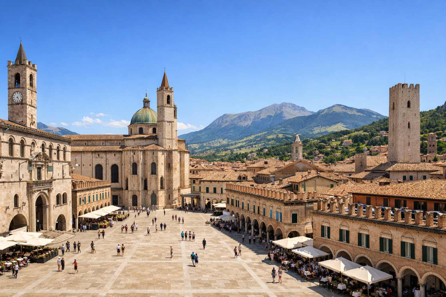
Stage information
- Ascent
- 559 m
- Descent
- 281 m
Difficulty: moderate
Walking the stage
Stage 1 (Ascoli Piceno → Venarotta) covers 18.6 km on foot.
Before leaving Ascoli Piceno, locate Area archeologica Palazzo dei Capitani on the map. It is close to the starting point.
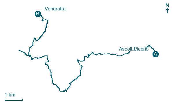
Look for these places on the stage map: Galleggiano, Mozzano, Casacagnano, and Olibra Incinesca.
What to see on this stage
History and landmarks
Area archeologica Palazzo dei Capitani
Museum · < 100 m from the trail as the crow flies
Museum, in Ascoli Piceno, Italy, designated as Italian national heritage, covering 200.0 km².
Palazzo dei Capitani del Popolo
Palace · < 100 m from the trail as the crow flies
Seat of the Captain of the People, raised between the mid-13th and 14th centuries, with a crenellated medieval tower. At Christmas 1535 rioters barricaded themselves inside and the building burned for two days before it was restored.
Nature and landscape
Platano orientale di Strada Salaria - Case Piccioni, Ascoli Piceno
Monumental tree · 400 m from the trail as the crow flies
Italy’s monumental tree register identifies this specimen as Platanus orientalis L. It records a height of 26 m and a trunk circumference of 850 cm.
Cedro del Libano di Forte Malatesta, Ascoli Piceno
Monumental tree · 700 m from the trail as the crow flies
Italy’s monumental tree register identifies this specimen as Cedrus libani A.Richard. It records a height of 22.5 m and a trunk circumference of 470 cm.
Map · Ascoli Piceno → Venarotta
Take your walk with you: download Appy
Grande Anello dei Borghi Ascolani: Ascoli Piceno → Venarotta. Explore maps, stages and elevation in the app, and plan your train or bus journey.

