Santadi → Is Zuddas
Walking distance 15.8 km
Download Appy for the stage map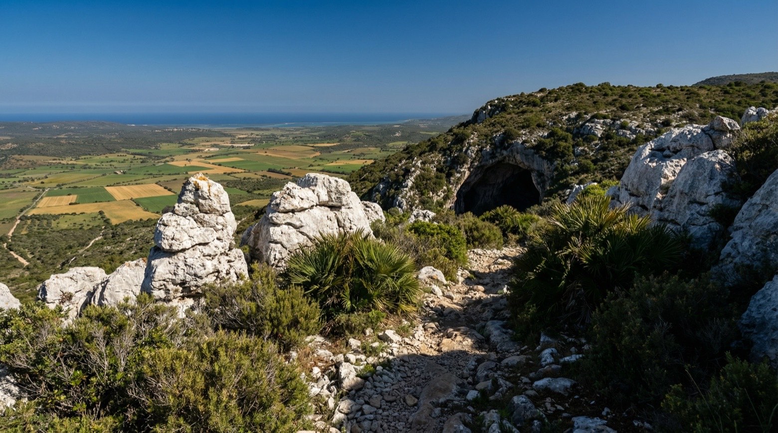
Stage information
- Ascent
- 65 m
- Descent
- 79 m
Difficulty: easy
Walking the stage
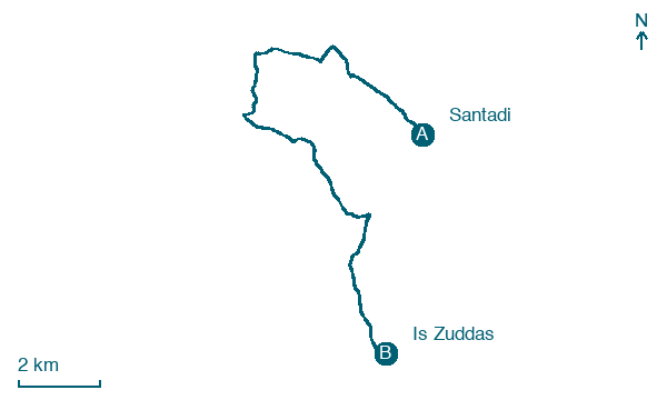
This walk of about 16 km from Santadi to Is Zuddas passes vineyards of Carignano grapes, the Menhir of Su Terrazzu and the necropolis of Pani Loriga. It continues by the Grotta del Tesoro and the Su Benatzu mine before reaching the karst caves of Is Zuddas.
Before leaving Santadi, locate San Nicolò on the map. It is close to the starting point. On arrival in Is Zuddas, consider a stop at Grotte Is Zuddas, close to the finish.
Look for these places on the stage map: Is Collus, Matta S'Olia, Terrazzu, and Barrua de Basciu.
What to see on this stage
History and landmarks
San Nicolò
Church · < 100 m from the trail as the crow flies
Church, dedicated to Saint Nicholas, in Santadi, Italy, designated as Italian national heritage.
Casa
100 m from the trail as the crow flies
The building retains the appearance of the traditional Sulcitana farmhouse, divided into areas that are still clearly distinguishable today (the anteroom, the dining room, and opposite are the bedroom and the kitchen overlooking the internal courtyard).
Nature and landscape
Grotte Is Zuddas
100 m from the trail as the crow flies
Orniello di Santa Lucia, Villaperuccio
Monumental tree · 300 m from the trail as the crow flies
Italy’s monumental tree register identifies this specimen as Fraxinus ornus L. It records a height of 15.2 m and a trunk circumference of 540 cm.
Map · Santadi → Is Zuddas
Take your walk with you: download Appy
Cammino Minerario di Santa Barbara: Santadi → Is Zuddas. Explore maps, stages and elevation in the app, and plan your train or bus journey.

