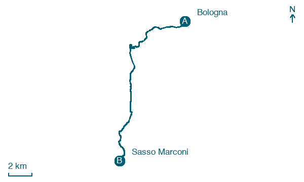
Bologna → Sasso Marconi
Walking distance 22 km
Download Appy for the stage map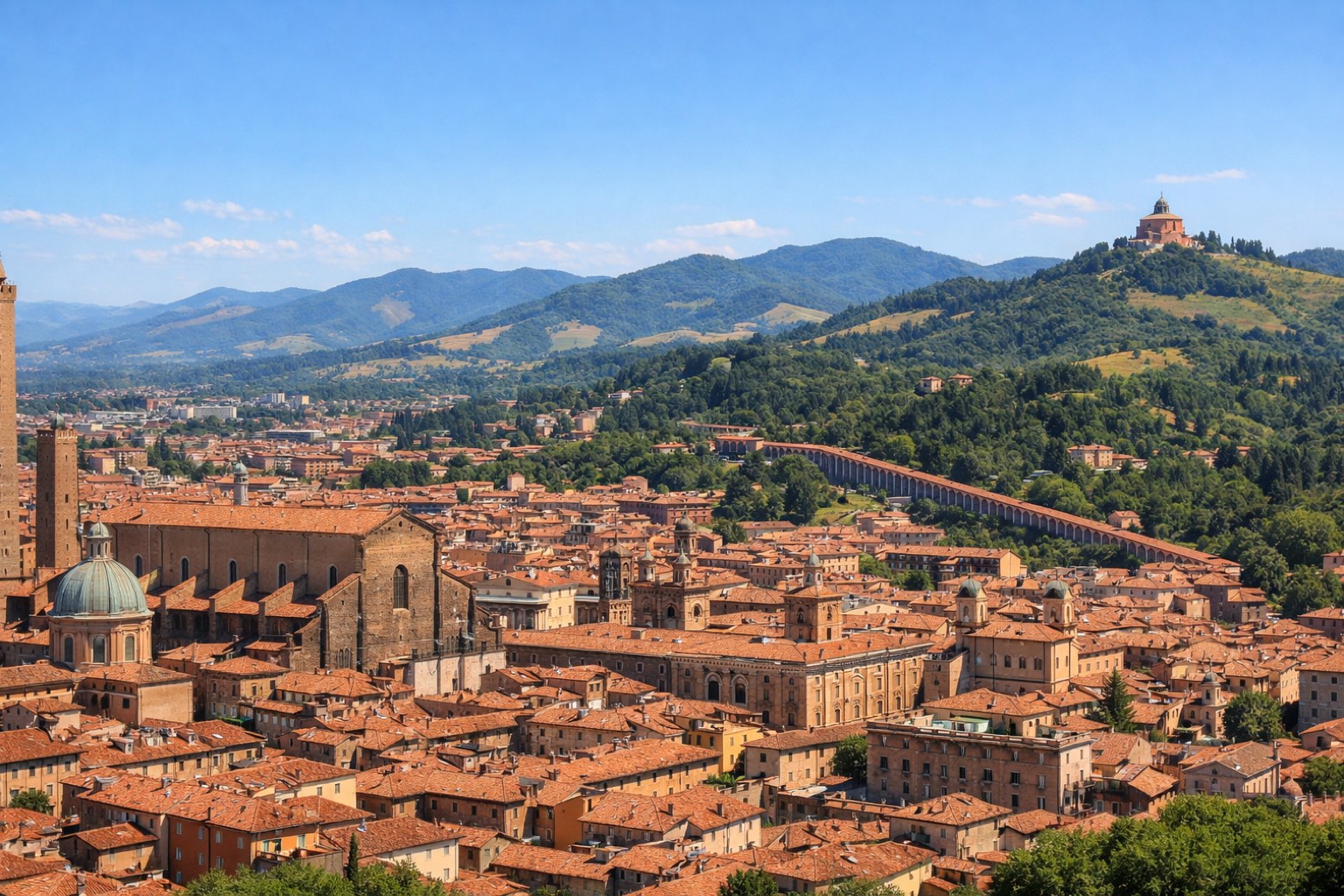
Stage information
- Ascent
- 74 m
- Descent
- 43 m
Difficulty: easy
Walking the stage
Walk an easy 22 km from Bologna to Sasso Marconi, with only 74 m of climbing along the way, passing through Madonna di San Luca and Montalbano.
Before leaving Bologna, locate Palazzo Bonasoni, Bologna on the map. It is close to the starting point.
Look for these places on the stage map: Madonna di San Luca, Monte Pradone, Palazzo Rossi, and Le Ganzole.
What to see on this stage
History and landmarks
Palazzo Bonasoni, Bologna
Palace · 400 m from the trail as the crow flies
Portico di San Luca
< 100 m from the trail as the crow flies
Nature and landscape
Cedro dell'Atlante di Villa delle Rose - Via Saragozza 228/230, Bologna
Monumental tree · < 100 m from the trail as the crow flies
Italy’s monumental tree register identifies this specimen as Cedrus atlantica (Endl.) Manetti ex Carriere. It records a height of 32 m and a trunk circumference of 545 cm.
Ginco di Piazza Cavour, Bologna
Monumental tree · 200 m from the trail as the crow flies
Italy’s monumental tree register identifies this specimen as Ginkgo biloba L. It records a height of 29.5 m and a trunk circumference of 338 cm.
Map · Bologna → Sasso Marconi
Take your walk with you: download Appy
Via della Lana e della Seta: Bologna → Sasso Marconi. Explore maps, stages and elevation in the app, and plan your train or bus journey.

