Montalbano Elicona → Scala
Walking distance 21.4 km
Download Appy for the stage map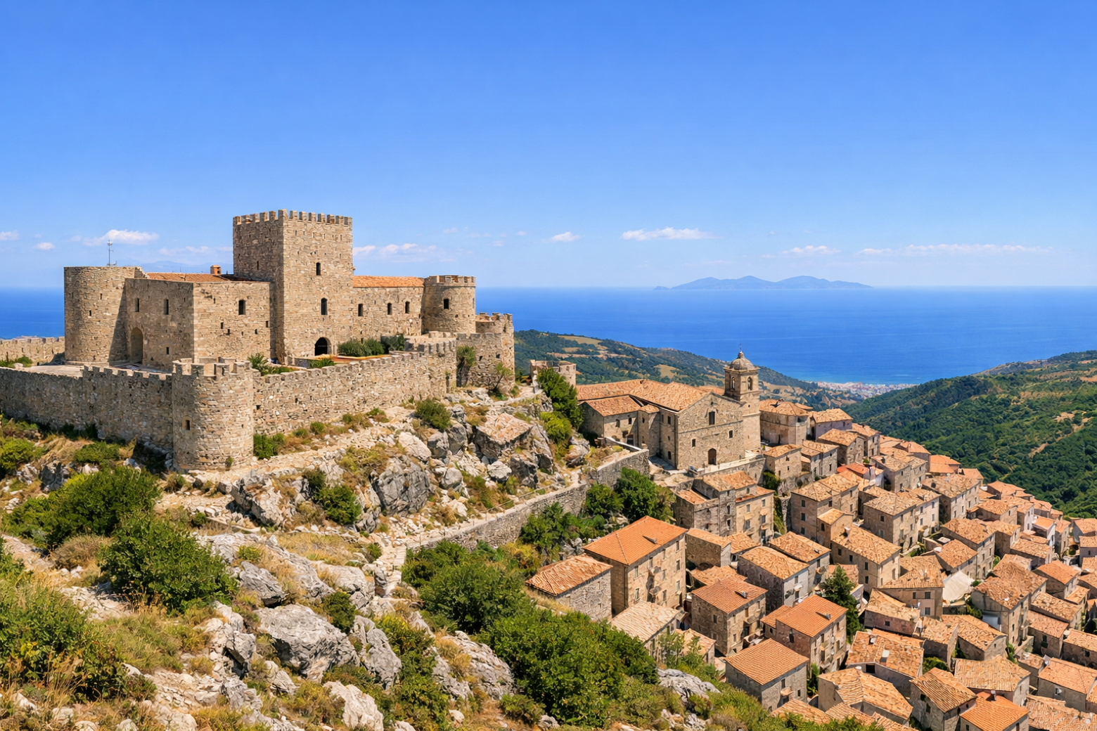
Stage information
- Ascent
- 606 m
- Descent
- 1205 m
Difficulty: moderate
Walking the stage
From Montalbano Elicona the walk follows the Nebrodi ridges to the sanctuary of Scala. The views extend across the Tyrrhenian Sea towards the Aeolian Islands.
On arrival in Scala, consider a stop at Santuario Madonna del Tindari, close to the finish.
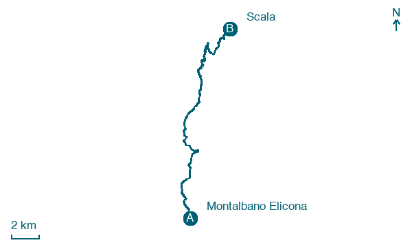
Look for these places on the stage map: Santa Margherita, Santo Stefano, Masseria Greco, and Case Natoli.
What to see on this stage
History and landmarks
Santuario Madonna del Tindari
Church · < 100 m from the trail as the crow flies
Torre
Tower · 1.8 km from the trail as the crow flies
Nature and landscape
Riserva naturale orientata Laghetti di Marinello
National park · 1.1 km from the trail as the crow flies
Quercia castagnara di Manganello - Agriturismo Il Daino, San Piero Patti
Monumental tree · 1.9 km from the trail as the crow flies
Italy’s monumental tree register identifies this specimen as Quercus virgiliana (Ten.) Ten. It records a height of 19 m and a trunk circumference of 550 cm.
Map · Montalbano Elicona → Scala
Take your walk with you: download Appy
Cammino di Tindari – Variante Roccella: Montalbano Elicona → Scala. Explore maps, stages and elevation in the app, and plan your train or bus journey.

