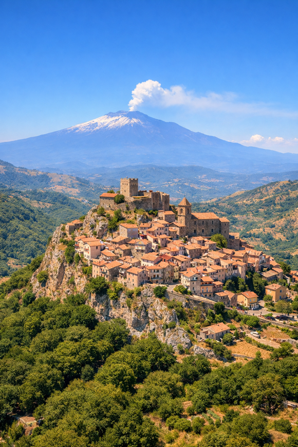
Cammino di Tindari – Variante Roccella
Sicilia, Italy
Italy · Roccella Valdemone, Sicilia → Scala, Sicilia
Distance
42 km
Stages
2
Difficulty
challenging
Best months
Apr-Jun, Sep-Oct
About
A 40 km journey through the Nebrodi mountains. From Roccella Valdemone to Scala, the Cammino di Tindari, Variante Roccella is a rugged exploration rich in history and culture.
Elevation gain? A steep 1,916 metres.
The scent of wild herbs lingers in the air as you navigate rocky inclines and shaded forest paths, pausing at ancient ruins overlooking the Tyrrhenian Sea. Best tackled in spring or autumn, this route invites introspection, a chance to connect with Sicilia's vibrant traditions and landscapes.
Your destination? A church dedicated to Saint Anthony, where reflection awaits.
Stages
2 stages
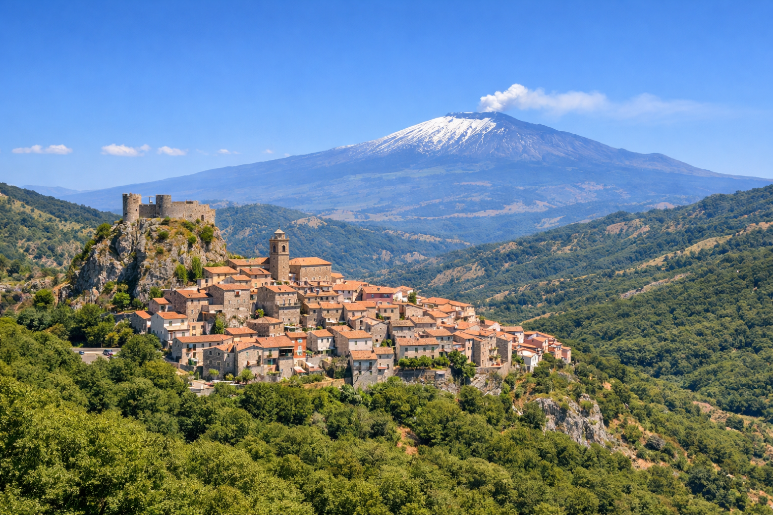 Stage 1
Roccella Valdemone → Montalbano Elicona
challengingDistance20 kmAscent1310 mDescent1210 m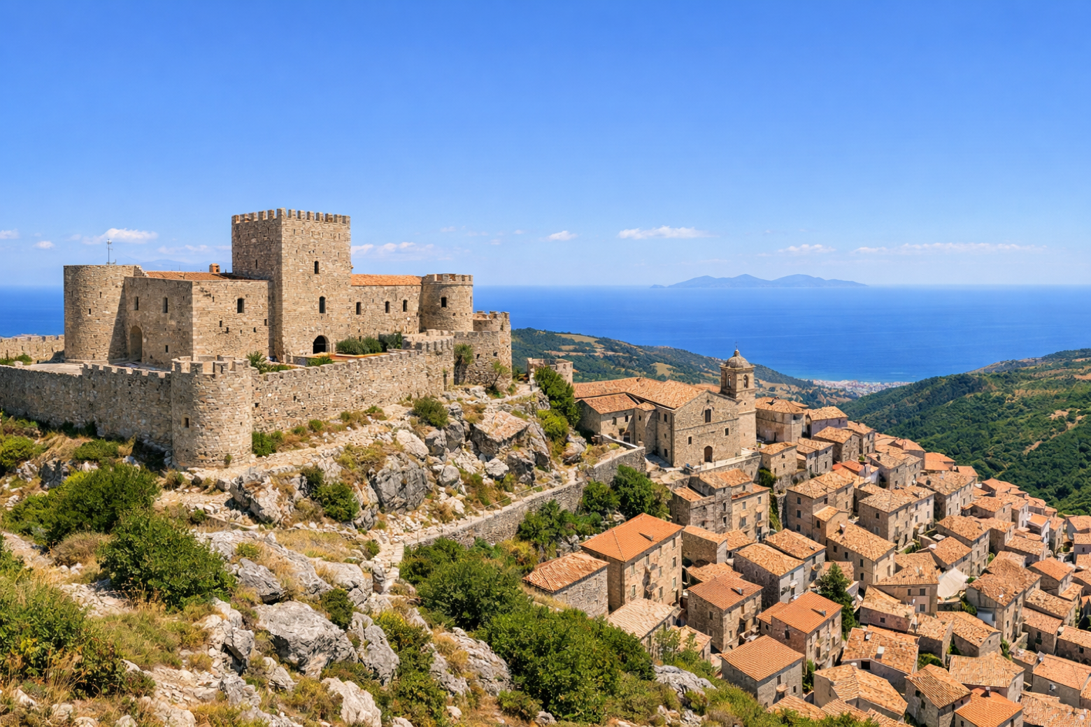 Stage 2
Montalbano Elicona → Scala
moderateDistance21 kmAscent606 mDescent1205 m
Travel
Find connections for your cammino.
Search trainsMore walks in Italy
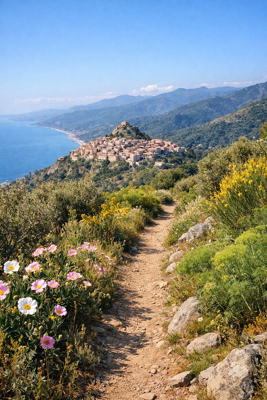
Plan your walking trip
How to choose a walking route: stages, days and ascent
Choose a walking route by comparing daily stages, available days, ascent and transport links. Practical planning with examples from the Appy catalogue.
How to plan a walking trip by train and bus
Plan travel to and from your walk: stage endpoints, stations, stops and the connection to the trail. A practical guide to routes and transport with Appy.
Take your walk with you: download Appy
Cammino di Tindari – Variante Roccella. Explore maps, stages and elevation in the app, and plan your train or bus journey.