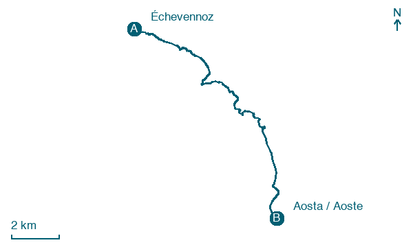
Échevennoz → Aosta / Aoste
Walking distance 13.9 km
Download Appy for the stage map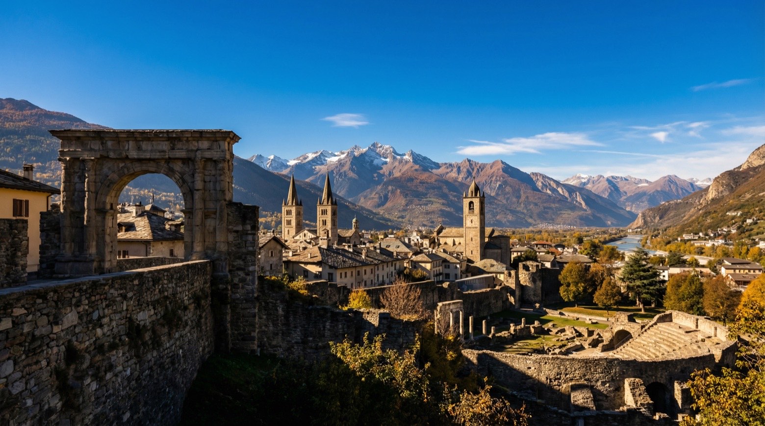
Stage information
- Ascent
- 334 m
- Descent
- 992 m
Difficulty: moderate
Walking the stage
Walk 14 km from Échevennoz to Aosta / Aoste, with 334 m of climbing along the way, passing through La Condéminaz and La Caou.
On arrival in Aosta / Aoste, consider a stop at Cryptoporticus, close to the finish.
Look for these places on the stage map: Pre de Bois Desot, La Caou, Variney, and Signayes-Le Ru.
What to see on this stage
History and landmarks
Cryptoporticus
Museum · < 100 m from the trail as the crow flies
Museum, in Aosta, Italy, designated as Italian national heritage, covering 1227.0 km².
Tourneuve
Tower · 200 m from the trail as the crow flies
Tower, in Aosta, Italy, designated as Italian national heritage.
Nature and landscape
Tiglio comune di Piazza Giovanni XXIII, Aosta
Monumental tree · < 100 m from the trail as the crow flies
Italy’s monumental tree register identifies this specimen as Tilia ? europaea L. syn Tilia x vulgaris B. Heyne syn Tilia intermedia DC. It records a height of 19 m and a trunk circumference of 263 cm.
Tiglio nostrale di Borgo Sant'Orso, Aosta
Monumental tree · 600 m from the trail as the crow flies
Italy’s monumental tree register identifies this specimen as Tilia platyphyllos Scop. It records a height of 14 m and a trunk circumference of 461 cm.
Map · Échevennoz → Aosta / Aoste
Take your walk with you: download Appy
Via Francigena: Échevennoz → Aosta / Aoste. Explore maps, stages and elevation in the app, and plan your train or bus journey.

