Via del Mare: the track from Lecce to San Foca
You’ve reached Piazza Sant’Oronzo, the Roman amphitheatre is beside you and tonight’s bed is in San Foca. Look for Castello Carlo V on your map. That’s the way out of the square for the Via del Mare. A line heading for Porta San Biagio belongs to the inland Via dei Borghi.

Published on
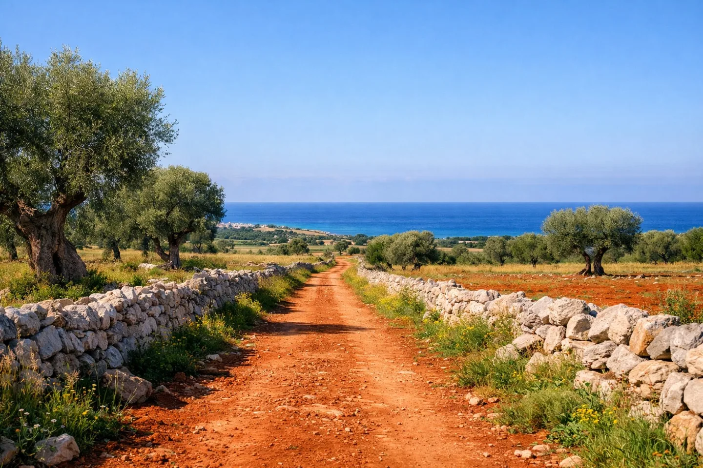
One city gate, two ways out of the square
Both walks start at Porta Napoli, so even the wrong track can look convincing for the first few streets. Zoom out far enough to see where your line goes beyond Piazza Sant’Oronzo. On the sea route you’ll pass the castle, then the Fontana dell’Armonia, on your way out of Lecce towards Merine.
The route organizer lists the inland Via dei Borghi as closed for 2026. If a friend has sent you a track with Sternatia as the first overnight stop, set that one aside for this walk.
Get the track onto your phone
Fill in the organizer’s form to receive the Via del Mare GPX by email. Open the file in your mapping app while you have a connection. Find Merine, then Acaya. A line that passes through both and reaches San Foca is the section you want.
Download the local map for offline use too. With mobile data switched off, zoom in on the castle. Can you see the street names as well as the route line? That’s a more useful check than spotting the file in your downloads. Once you’re walking, look out for the trail’s orange arrows.
Request the latest Via del Mare GPX from the organizer (Italian)
When do you reach the sea?
The coast comes after Acaya and the Cesine reserve. Acaya makes a good stop on the inland stretch: slip through the village gate to reach the square with the clock tower. Once you reach the beach, the Adriatic will be on your left as you head for San Foca. Look for Torre Specchia Ruggeri on the map for the last stretch along the coast.
Allow time to get from the seafront to your door
The organizer gives the stage as 25 km, about six hours on paved roads and dirt tracks. If you fancy lunch in Acaya, add that stop to your own estimate. Save the address where you’ll spend the night as a separate pin. The track ends on San Foca’s seafront, and you may still have a walk to your door.
Before you go
- Look for Castello Carlo V as you leave Piazza Sant’Oronzo.
- Check that Merine and Acaya appear along the track with mobile data off.
- Allow for lunch and the walk to your accommodation in San Foca.
Walks in this guide
These distances are for the whole walk. Open a route to see which stages you’d like to walk.
| Route | Distance | Stages |
|---|---|---|
| Cammino del Salento Via del Mare | 114 km | 5 |
Sources for this guide
More from the walking journal
Reading elevation on the Swiss Via Francigena