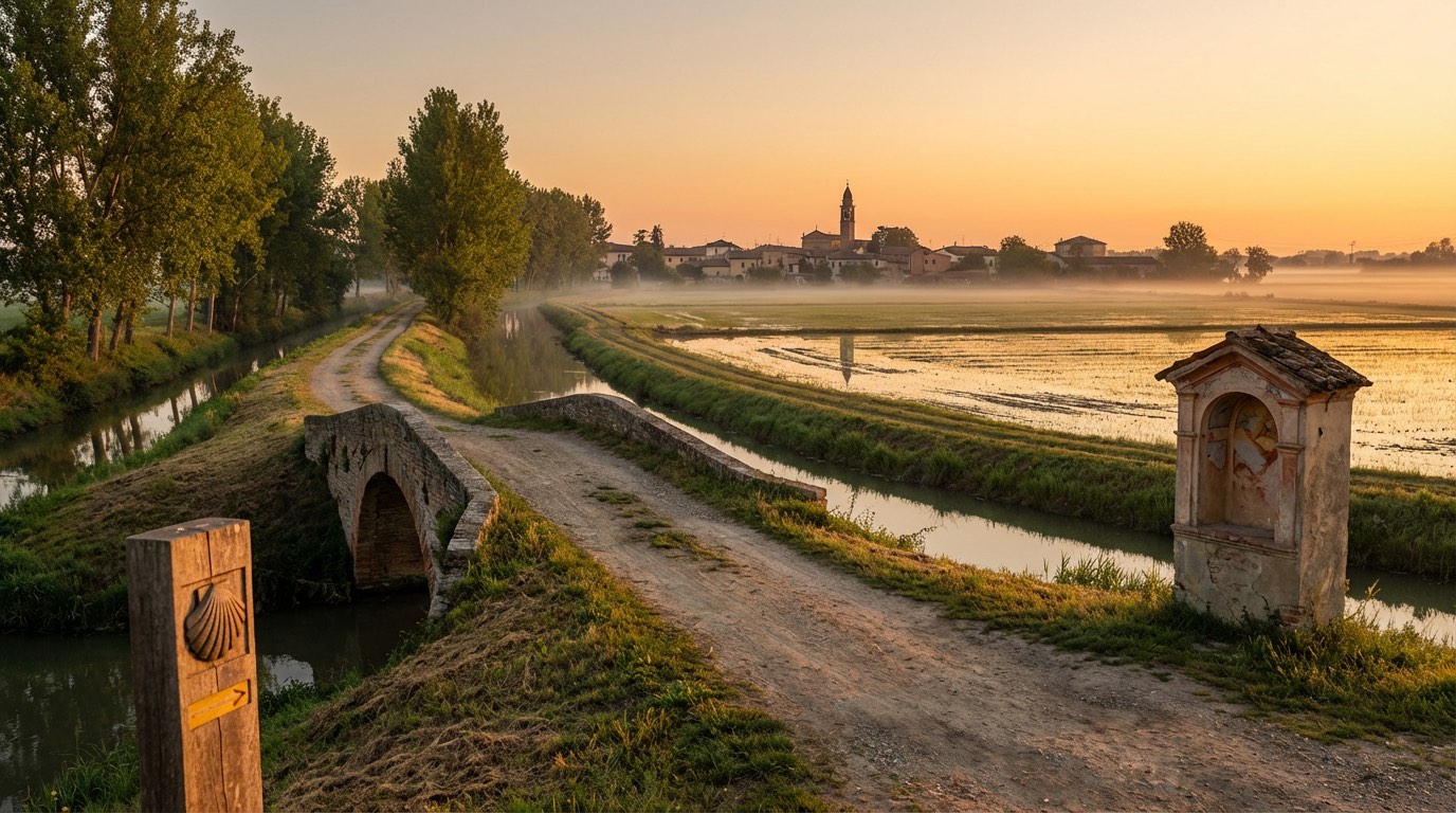
Romea Nonantolana Longobarda
Emilia-Romagna, Italy
Italy · Modena, Italy → Rome, Italy
Distance
297 km
Stages
14
Difficulty
moderate
Best months
Apr-Jun, Sep-Oct
Romea Nonantolana Longobarda · Stages and distances
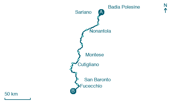
Walking distances for Appy’s stages (14)
| Stage | km |
|---|---|
| 1. Badia Polesine → Sariano | 18.7 |
| 2. Sariano → Bondeno | 20.1 |
| 3. Bondeno → Camposanto | 29 |
| 4. Camposanto → Nonantola | 21.3 |
| 5. Nonantola → Spilamberto | 27 |
| 6. Spilamberto → Pieve Di Trebbio | 23.1 |
| 7. Pieve Di Trebbio → Montese | 23.9 |
| 8. Montese → Fanano | 23.9 |
| 9. Fanano → Capanno Tassoni | 10 |
| 10. Capanno Tassoni → Cutigliano | 11.3 |
| 11. Cutigliano → Pontepetri | 22.5 |
| 12. Pontepetri → Pistoia | 20.3 |
| 13. Pistoia → San Baronto | 19.5 |
| 14. San Baronto → Fucecchio | 26.1 |
| Total | 296.7 |
About
A 300 km spiritual route, 14 stages from Modena to Rome, unfolds the legacy of the Lombards. It begins at the Abbey of Nonantola, where whispers of monks linger in the air.
Rolling hills and dense forests frame your path, while the scent of fresh earth and wild herbs fills your lungs. Key waypoints like Solara and Finale Emilia echo with history, inviting you to pause.
With a total elevation gain of 17,043 m, it’s a journey for the intrepid. Best hiked in spring and autumn, the route weaves together nature, culture, and the profound silence of ancient roads.
Stages
14 stages
- Stage 1
- Distance
- 19 km
- Ascent
- 71 m
- Descent
- 72 m
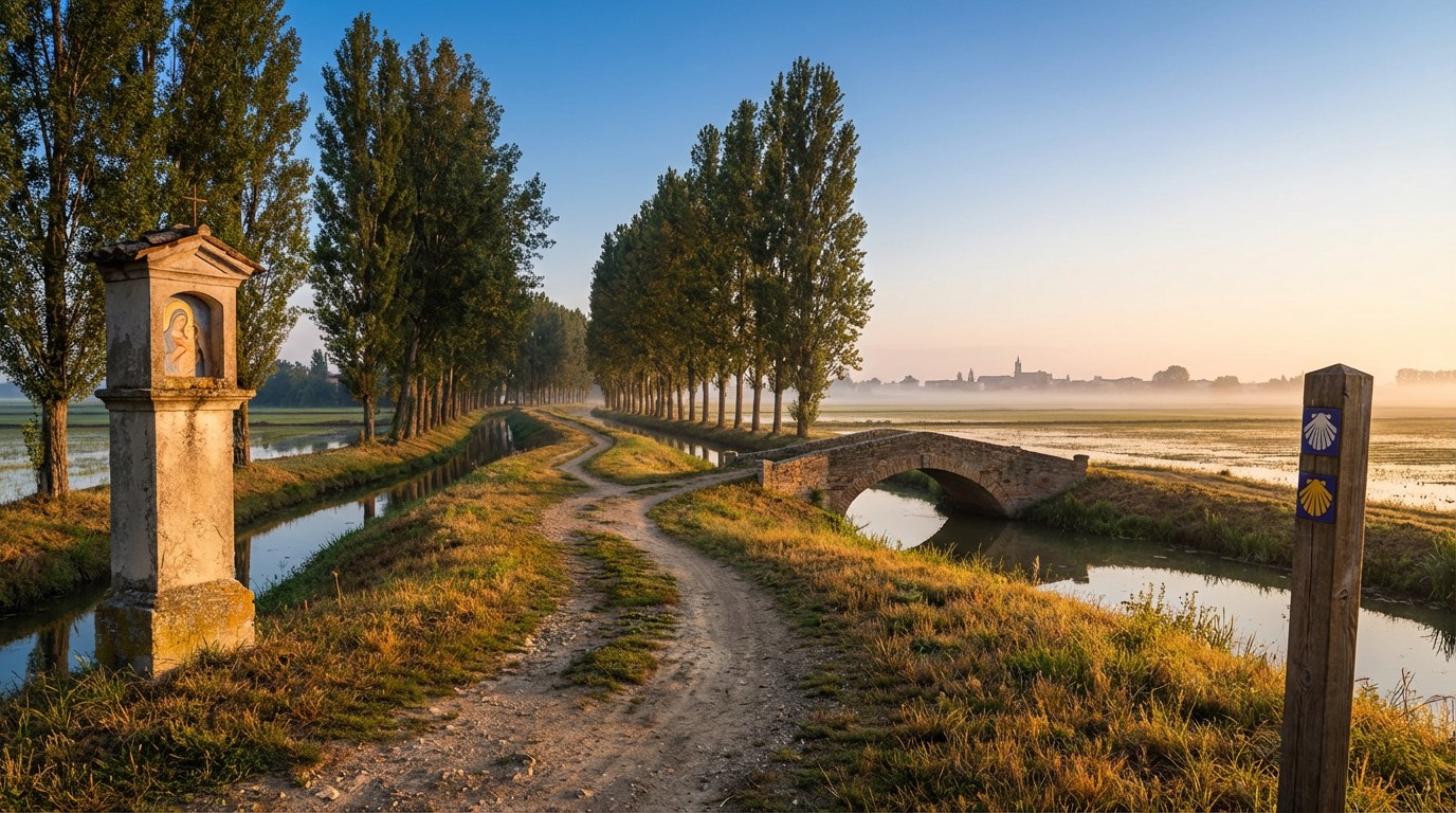 Stage 2
- Distance
- 20 km
- Ascent
- 155 m
- Descent
- 151 m
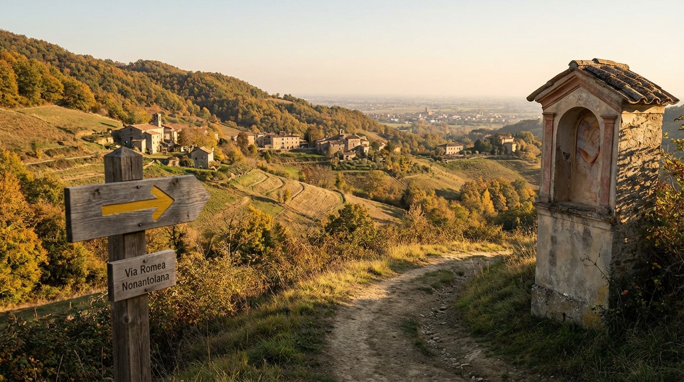 Stage 3
Bondeno → Camposanto
moderate- Distance
- 29 km
- Ascent
- 244 m
- Descent
- 240 m
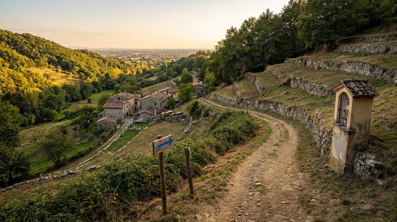 Stage 4
Camposanto → Nonantola
moderate- Distance
- 21 km
- Ascent
- 205 m
- Descent
- 199 m
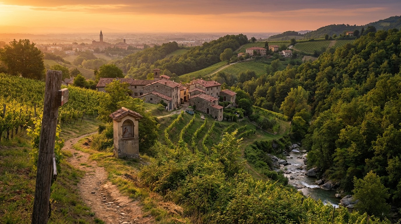 Stage 5
Nonantola → Spilamberto
moderate- Distance
- 27 km
- Ascent
- 300 m
- Descent
- 254 m
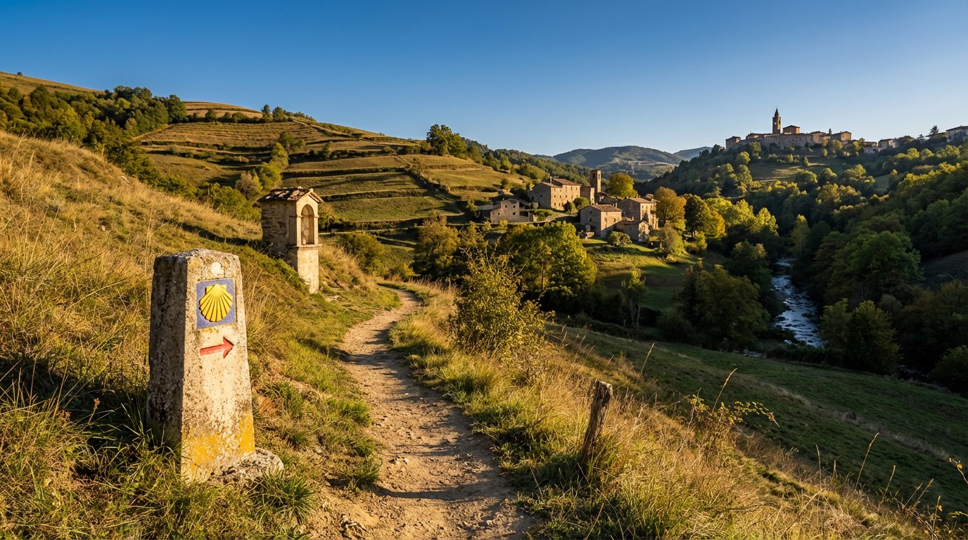 Stage 6
Spilamberto → Pieve Di Trebbio
moderate- Distance
- 23 km
- Ascent
- 702 m
- Descent
- 316 m
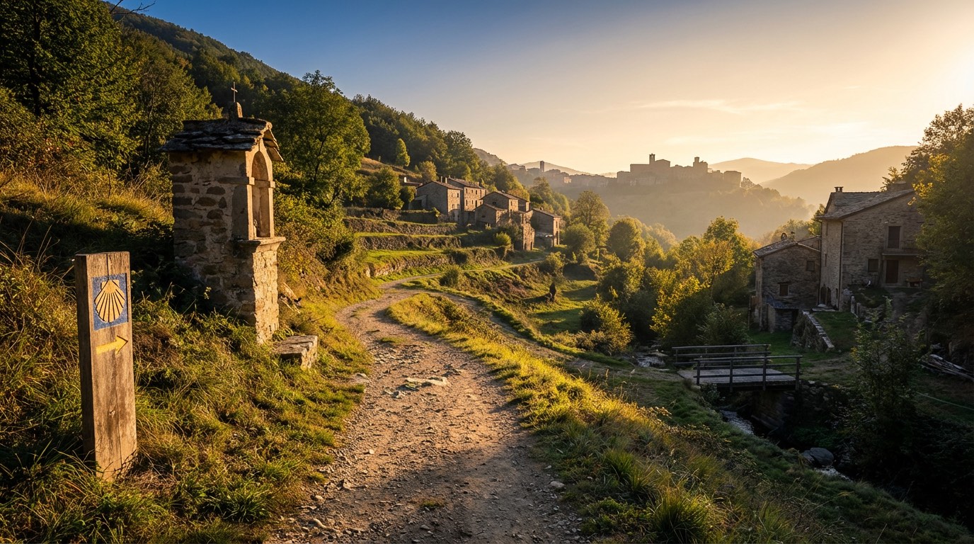 Stage 7
Pieve Di Trebbio → Montese
challenging- Distance
- 24 km
- Ascent
- 1504 m
- Descent
- 1166 m
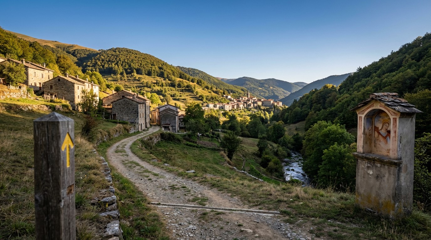 Stage 8
Montese → Fanano
challenging- Distance
- 24 km
- Ascent
- 1085 m
- Descent
- 1253 m
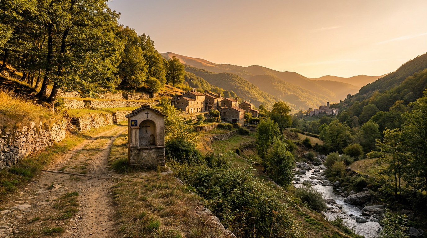 Stage 9
Fanano → Capanno Tassoni
moderate- Distance
- 10 km
- Ascent
- 1059 m
- Descent
- 356 m
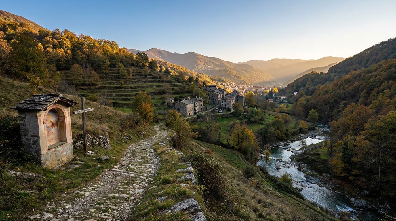 Stage 10
Capanno Tassoni → Cutigliano
moderate- Distance
- 11 km
- Ascent
- 392 m
- Descent
- 1043 m
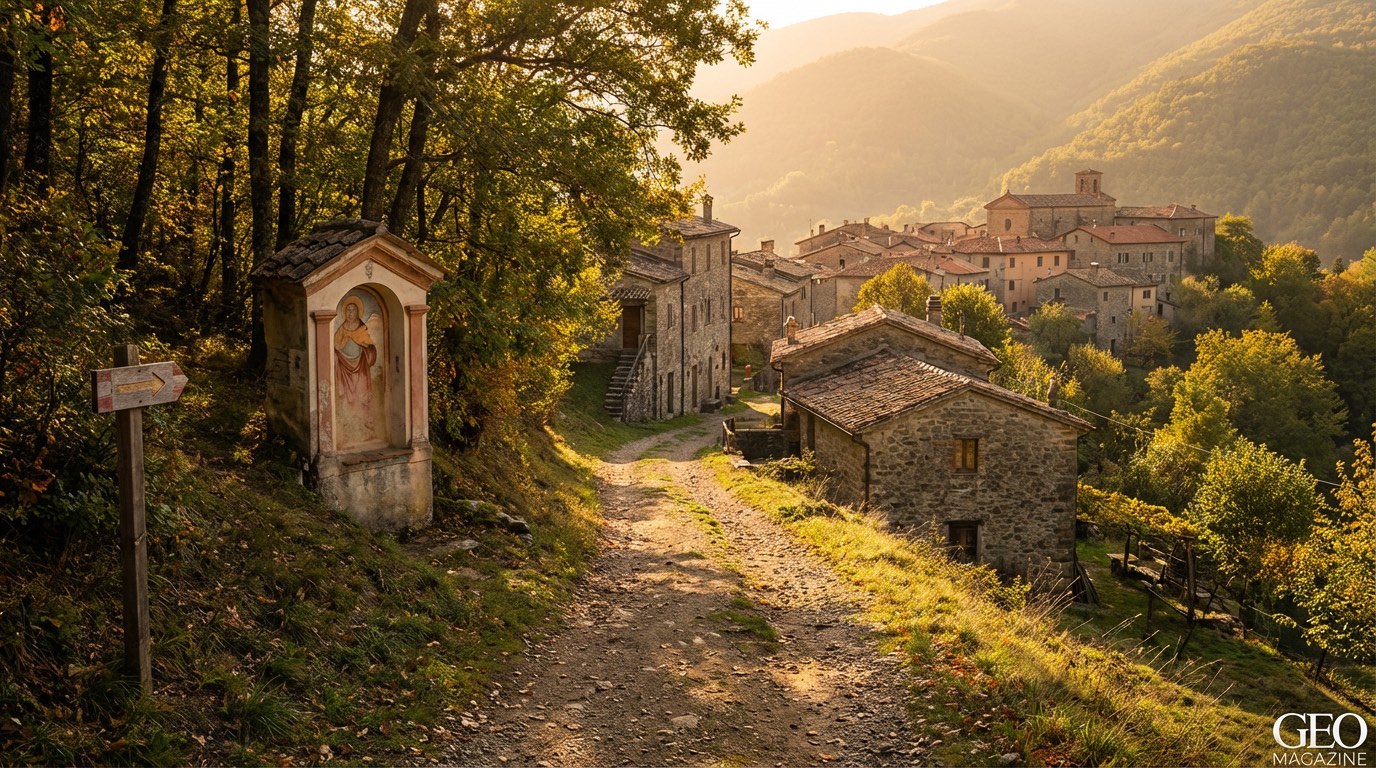 Stage 11
Cutigliano → Pontepetri
challenging- Distance
- 22 km
- Ascent
- 922 m
- Descent
- 954 m
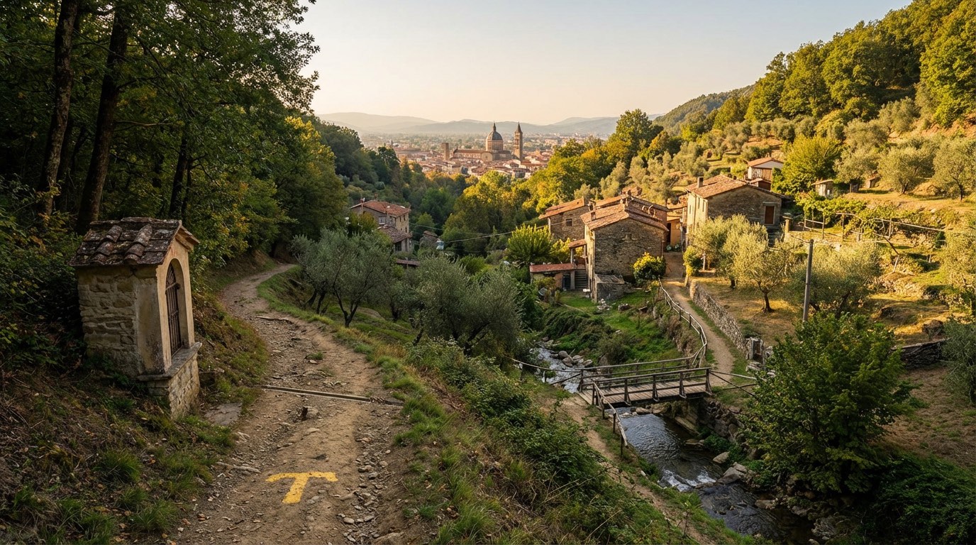 Stage 12
Pontepetri → Pistoia
moderate- Distance
- 20 km
- Ascent
- 576 m
- Descent
- 1145 m
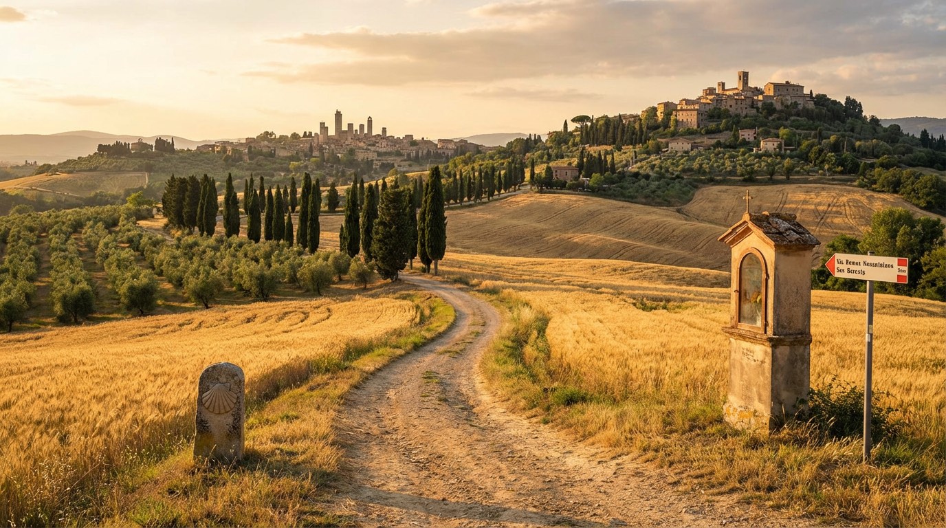 Stage 13
Pistoia → San Baronto
moderate- Distance
- 20 km
- Ascent
- 878 m
- Descent
- 599 m
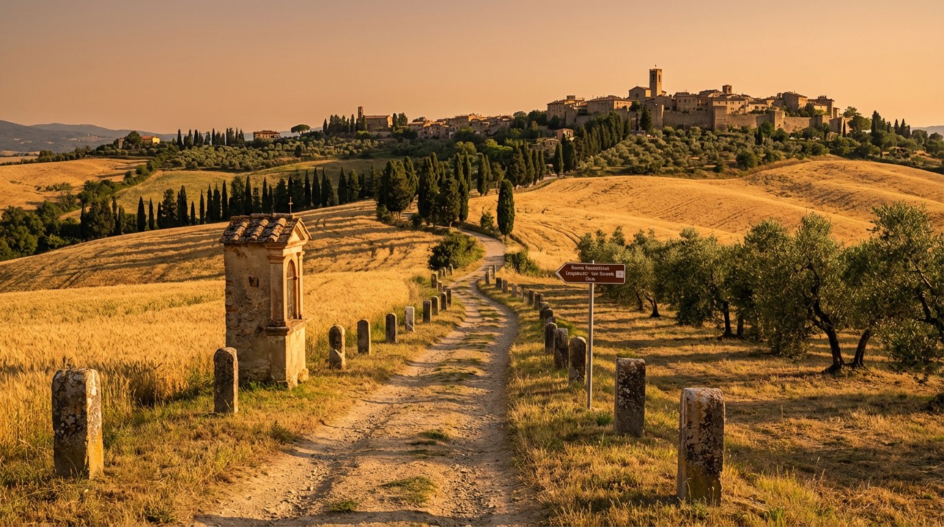 Stage 14
San Baronto → Fucecchio
moderate- Distance
- 26 km
- Ascent
- 663 m
- Descent
- 966 m
Travel
Find connections for your cammino.
Search trainsMore walks in Italy
Plan your walking trip
All articles and guidesHow to choose a walking route: stages, days and ascent
How many days can you actually spend walking? Start there, then choose stages that leave you time to stop along the way.
How to plan a walking trip by train and bus
Two different stations, a last bus and a backpack. Fit the journeys out and home around the days you want to spend walking.
Take your walk with you: download Appy
Romea Nonantolana Longobarda. Explore maps, stages and elevation in the app, and plan your train or bus journey.

