Bivigliano → Firenze
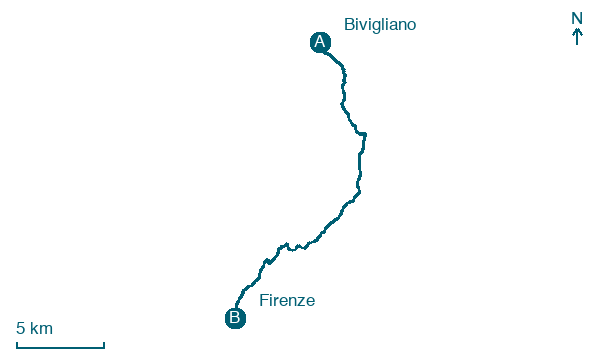
Walking distance 25.6 km
Download Appy for the stage map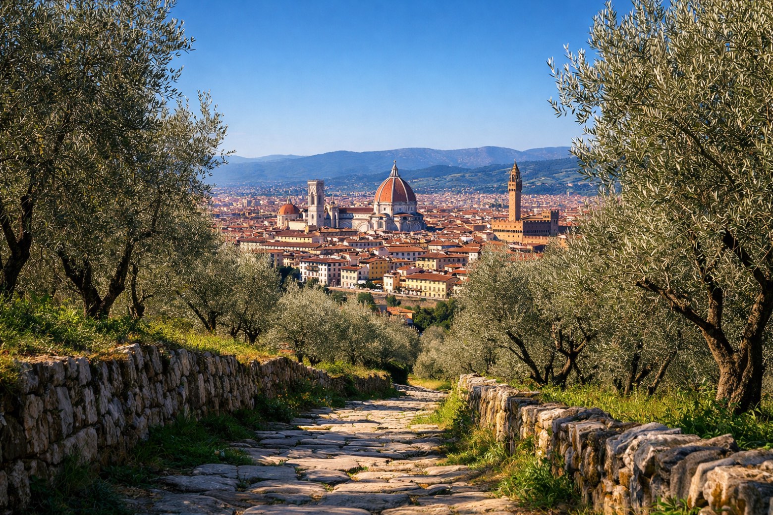
Stage information
- Ascent
- 564 m
- Descent
- 1151 m
Difficulty: moderate
Walking the stage
Follow 26 km from Bivigliano to Firenze via Bottinrosso and Vetta le Croci, with some ups and downs adding 564 m of ascent.
On arrival in Firenze, consider a stop at Palazzo Giandonati-Canacci, close to the finish.
Look for these places on the stage map: Bottinrosso, Torre di Buiano, Il Bargellino, and La Lastra.
What to see on this stage
History and landmarks
Palazzo Nonfinito
Palace · 200 m from the trail as the crow flies
load-bearing walls: stone and brick (core)/ stone (courses and decorations)
Palazzo Giandonati-Canacci
Palace · 200 m from the trail as the crow flies
load-bearing walls: stone and brick (core)/ stone (courses and decorations)
Nature and landscape
Olmo giapponese di Orto Botanico - Giardino dei Semplici - Via Micheli 3, Firenze
Monumental tree · 100 m from the trail as the crow flies
Italy’s monumental tree register identifies this specimen as Zelkova serrata (Thumb.) Makino. It records a height of 25 m and a trunk circumference of 453 cm.
Pino bruzio di Orto Botanico - Giardino dei Semplici - Via Micheli 3, Firenze
Monumental tree · 200 m from the trail as the crow flies
Italy’s monumental tree register identifies this specimen as Pinus halepensis var. brutia (Ten) A. Henry syn Pinus brutia Ten. It records a height of 33.4 m and a trunk circumference of 382 cm.
Map · Bivigliano → Firenze
Take your walk with you: download Appy
Via Degli dei: Bivigliano → Firenze. Explore maps, stages and elevation in the app, and plan your train or bus journey.

