Castello Barberini → Borgo di San Vittorino
Walking distance 0.2 km
Download Appy for the stage map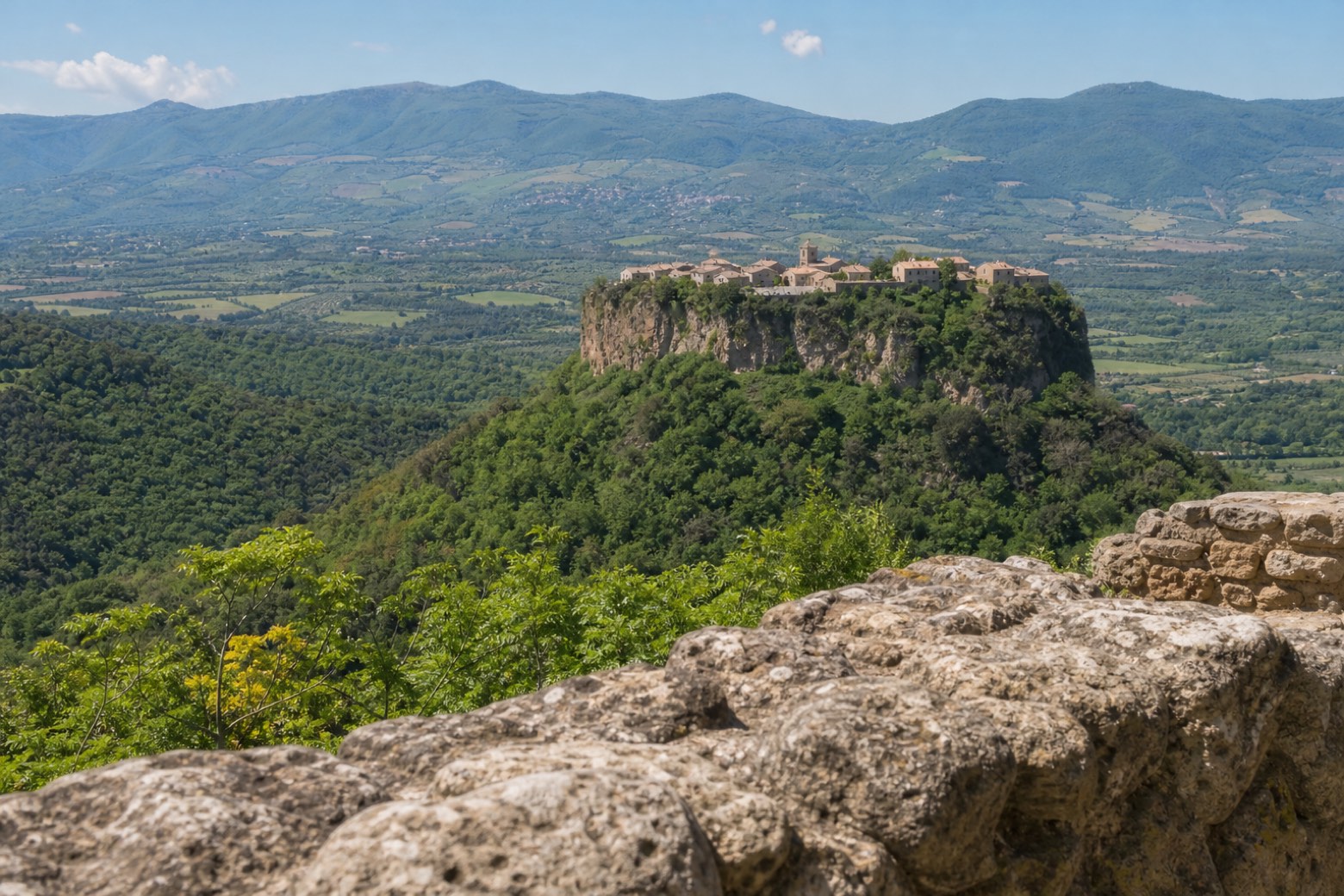
Stage information
- Ascent
- 0 m
- Descent
- 0 m
Difficulty: easy
Walking the stage
This short village walk centres on Castello Barberini and the streets of San Vittorino. The waterfalls and the sanctuary are nearby subjects of the guide, outside the village track.
Before leaving Castello Barberini, locate Castello Barberini on the map. It is close to the starting point. On arrival in Borgo di San Vittorino, consider a stop at Village of San Vittorino, close to the finish.
What to see on this stage
History and landmarks
Castello Barberini
Castle · < 100 m from the trail as the crow flies
Castello Barberini marks the edge of the historic village. The stop locates the castle as part of the streetscape; it does not imply an interior visit.
Village of San Vittorino
< 100 m from the trail as the crow flies
The houses and lanes of the borgo form the core of this short walk. San Vittorino’s village scale sets it apart from the surrounding open countryside.
Nature and landscape
The Waterfalls
Waterfall · 1,000 m from the trail as the crow flies
The waterfall is listed as a separate outing from the village. The map pin is tentative and the GPX supplies no path to the falls.
Take your walk with you: download Appy
San Vittorino: the castle and the village: Castello Barberini → Borgo di San Vittorino. Explore maps, stages and elevation in the app, and plan your train or bus journey.

