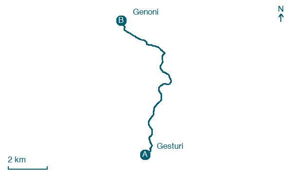
Gesturi → Genoni
Walking distance 9.5 km
Download Appy for the stage map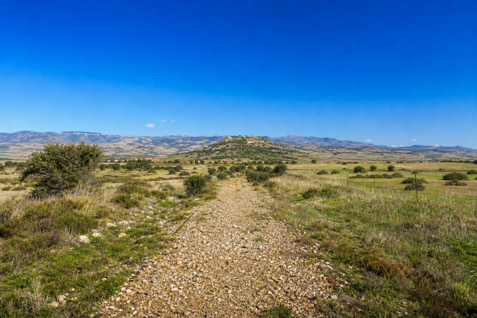
Stage information
- Ascent
- 133 m
- Descent
- 27 m
Difficulty: easy
Walking the stage
A flat, entirely unpaved stretch along the old railway bed, through sheep pastures far from any road, leaving the Marmilla hills for the Sarcidano. The hill of Santu Antine marks Genoni from a distance as the route draws near.
Before leaving Gesturi, locate Palazzo on the map. It is close to the starting point.
Look for these places on the stage map: Nuragus.
What to see on this stage
History and landmarks
Palazzo
Palace · 100 m from the trail as the crow flies
The building, originally established as a credit institution, which has imparted austerity and elegance to the structure, stands isolated in the center of Gesturi on a slight slope. The rectangular floor plan measures approximately 16 meters by 10 and extends over two levels for about 10 meters in height.
Protonuraghe Bruncu Maduli
Archaeological site · 1.6 km from the trail as the crow flies
A monument of elongated and kidney-shaped form. Eight rows are preserved, made with double facing and filling.
Map · Gesturi → Genoni
Take your walk with you: download Appy
Cammino Francescano in Sardegna: Gesturi → Genoni. Explore maps, stages and elevation in the app, and plan your train or bus journey.

