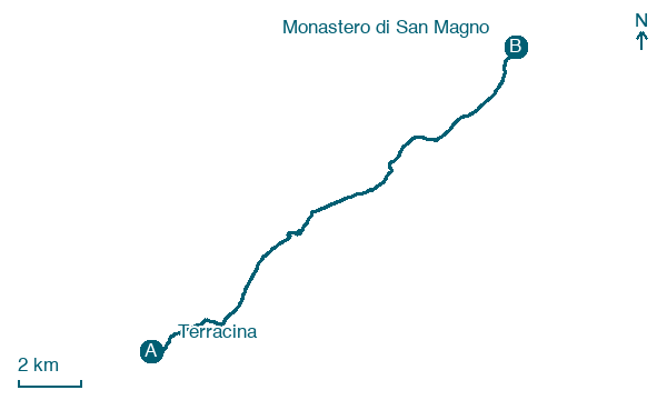
Terracina → Monastero di San Magno
Walking distance 17.5 km
Download Appy for the stage map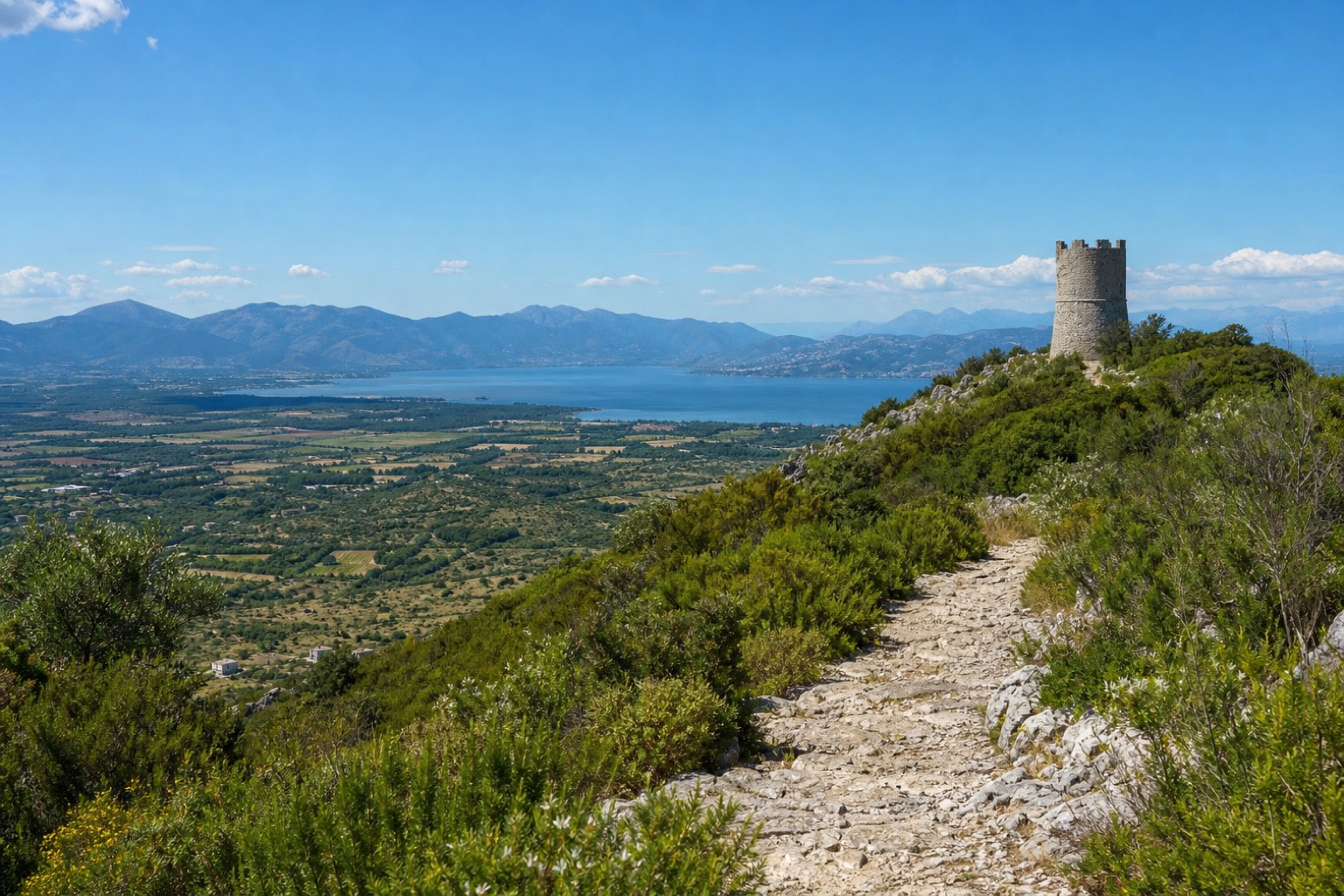
Stage information
- Ascent
- 383 m
- Descent
- 404 m
Difficulty: moderate
Walking the stage
Out of Terracina along Via Anxur and Via Panoramica, then on a hillside trail high above the busy Via Appia to the Torre dell'Epitaffio. Past the Torre della Portella and the village of Monte San Biagio to the Abbazia di San Magno, the monastery at the edge of the plain of Fondi. About 18 km.
Before leaving Terracina, locate Forum Aemilianum on the map. It is close to the starting point.
Look for these places on the stage map: Piazza Palatina, Borgo Sant'Antonio, and Monte San Biagio.
What to see on this stage
History and landmarks
Forum Aemilianum
Archaeological site · < 100 m from the trail as the crow flies
Archaeological site, in Terracina, Italy, designated as Italian national heritage.
Castello Frangipane
Castle · < 100 m from the trail as the crow flies
Castle, in Terracina, Italy, designated as Italian national heritage.
Map · Terracina → Monastero di San Magno
Take your walk with you: download Appy
Via Francigena del Sud (tratta Laziale): Terracina → Monastero di San Magno. Explore maps, stages and elevation in the app, and plan your train or bus journey.

