Iglesias → Nebida
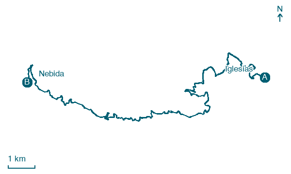
Walking distance 20.4 km
Download Appy for the stage map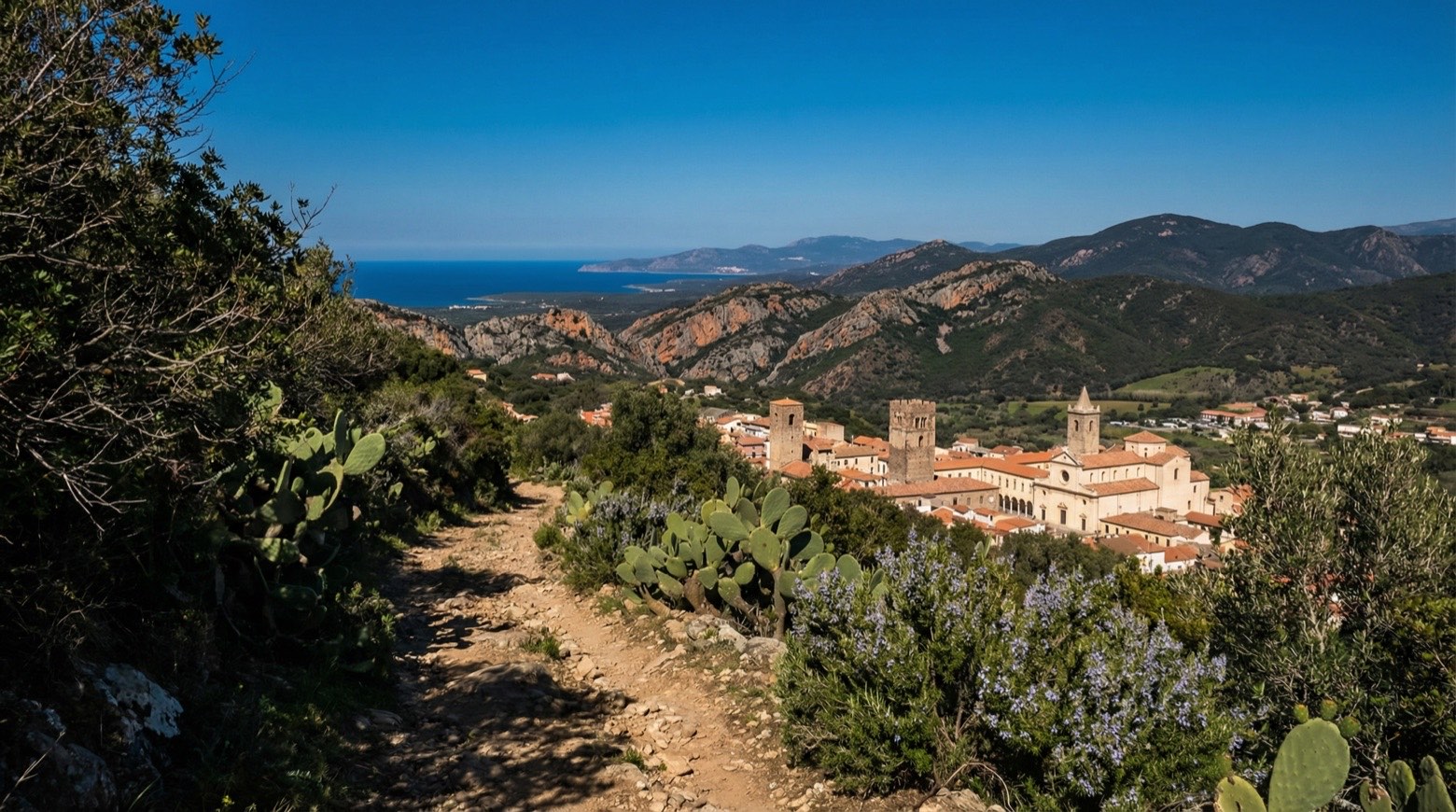
Stage information
- Ascent
- 748 m
- Descent
- 793 m
Difficulty: moderate
Walking the stage
From the medieval town of Iglesias, this walk covers about 21 km to Nebida across the oldest limestone and dolomite hills in Italy, where lead, zinc and silver were mined for centuries. Along the way it passes the hilltop sanctuary of Madonna del Buon Cammino and the excavations of Cungiaus, plus chapels dedicated to the patron saint of miners.
Before leaving Iglesias, locate Fontana on the map. It is close to the starting point.
Look for these places on the stage map: Monte Agruxiau.
What to see on this stage
History and landmarks
Teatro
< 100 m from the trail as the crow flies
the building features a facade facing the square, characterized by a clear reference to the dictates of eclectic canons, which complemented well with the facilities for entertainment contemporary to the one in question.
Fontana
< 100 m from the trail as the crow flies
The fountain is actually a simple well that allowed access to the water contained in the underlying cistern.
Nature and landscape
Grotta di Santa Barbara
2 km from the trail as the crow flies
Cave covering 3000.0 km². Protected: Italian national heritage.
Portu Banda
Beach · 900 m from the trail as the crow flies
Map · Iglesias → Nebida
Take your walk with you: download Appy
Cammino Minerario di Santa Barbara: Iglesias → Nebida. Explore maps, stages and elevation in the app, and plan your train or bus journey.

