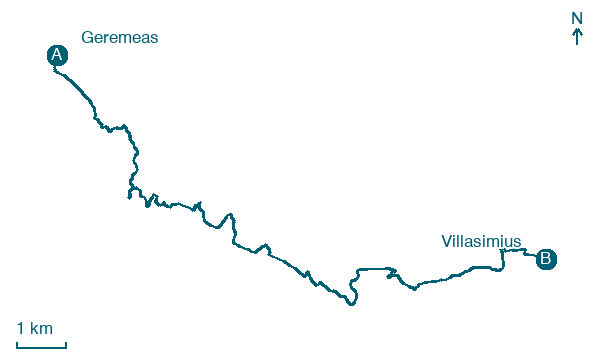
Geremeas → Villasimius
Walking distance 17.6 km
Download Appy for the stage map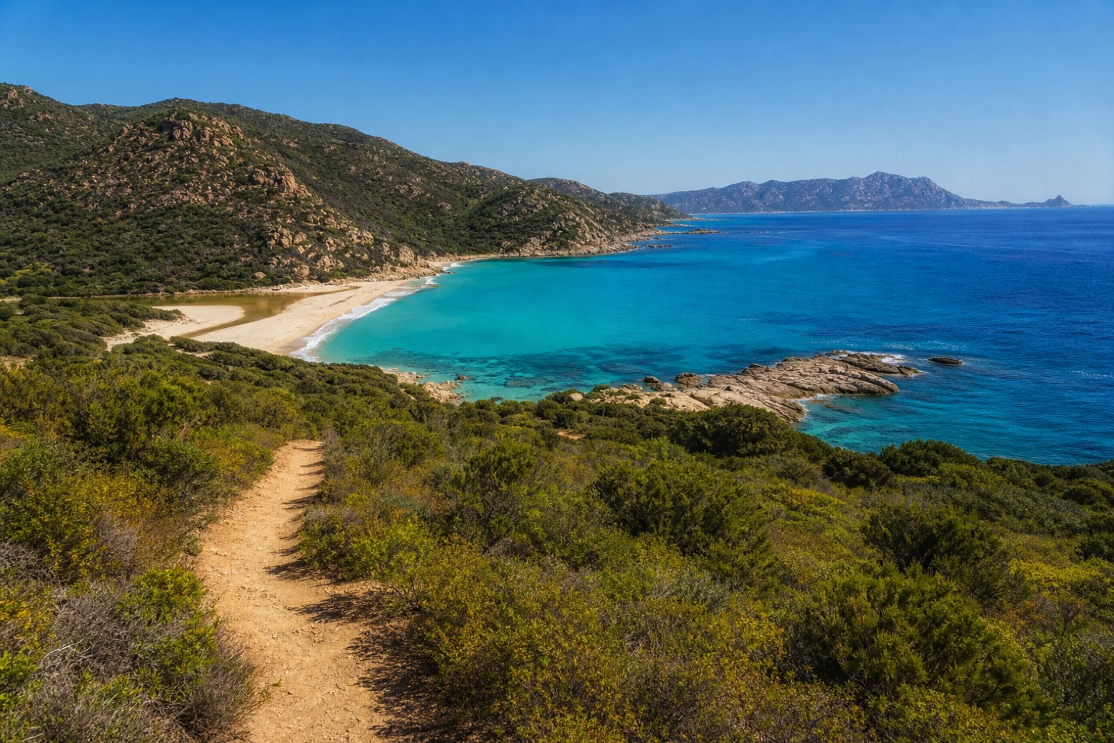
Stage information
- Ascent
- 314 m
- Descent
- 320 m
Difficulty: moderate
Walking the stage
Footpaths through Mediterranean scrub above the sea lead past Solanas, a sandy bay closed by granite headlands with a stream mouth behind the beach. Short sand stretches and coastal tracks continue east, with the Capo Carbonara promontory ahead, to Villasimius, where Via degli Angeli ends and Via Sarcapos begins.
Look for these places on the stage map: Bacu Màndara, Torre delle Stelle, and Solanas.
What to see on this stage
History and landmarks
Su Fenugu tower
Tower · < 100 m from the trail as the crow flies
Map · Geremeas → Villasimius
Take your walk with you: download Appy
Cammino 100 Torri: Via degli Angeli: Geremeas → Villasimius. Explore maps, stages and elevation in the app, and plan your train or bus journey.

