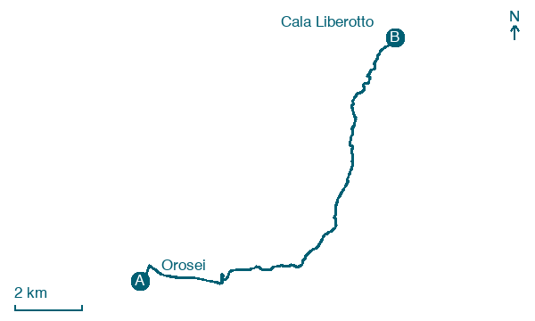
Orosei → Cala Liberotto
Walking distance 14.4 km
Download Appy for the stage map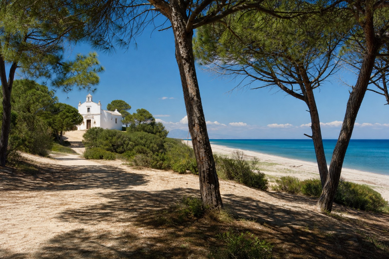
Stage information
- Ascent
- 43 m
- Descent
- 42 m
Difficulty: easy
Walking the stage
Beach sand and pinewood tracks lead past the Santuario di Nostra Signora del Rimedio, a country sanctuary outside Orosei, with the sea open to the east beyond the town's beaches. The via continues along the shore to the seaside hamlet of Cala Liberotto.
Before leaving Orosei, locate Don Giovanni Guiso Museum on the map. It is close to the starting point.
Look for these places on the stage map: Sas Linnas Siccas.
What to see on this stage
History and landmarks
Don Giovanni Guiso Museum
Museum · 200 m from the trail as the crow flies
A museum of miniature theatres, opened in 2000 in the family palazzo that Don Nanni Guiso gave to his home town. It shows antique toy theatres from the eighteenth century on, with dioramas and drawings of the Roman School.
Castello
Castle · 300 m from the trail as the crow flies
Castle. Castle, in Orosei, Italy, designated as Italian national heritage.
Map · Orosei → Cala Liberotto
Take your walk with you: download Appy
Cammino 100 Torri: Via Ogliastra: Orosei → Cala Liberotto. Explore maps, stages and elevation in the app, and plan your train or bus journey.

