Ostiense → Valle della Caffarella
Walking distance 5.5 km
Download Appy for the stage map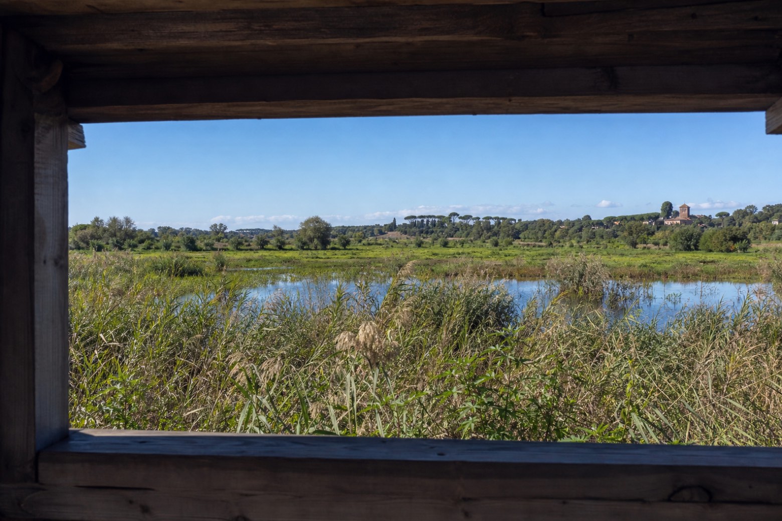
Stage information
- Ascent
- 8 m
- Descent
- 4 m
Difficulty: easy
Walking the stage
Follow the changing landscape from the ironwork of Ostiense to the water meadows of the Caffarella. The Almone connects places of industry, farming and birdlife even where the river is hidden.
Before leaving Ostiense, locate Gazometro on the map. It is close to the starting point. On arrival in Valle della Caffarella, consider a stop at Valle della Caffarella - Almone "Sacred" River, close to the finish.
What to see on this stage
History and landmarks
Gazometro
200 m from the trail as the crow flies
The open steel cylinder above Ostiense is what remains visible of a gas holder. Its empty frame once enclosed a moving tank; the industrial skyline survived the change in how Rome supplied gas.
Ponte Settimia Spizzichino
Bridge · < 100 m from the trail as the crow flies
The white steel arch of Ponte Settimia Spizzichino crosses the railway between Ostiense and Garbatella. Its name commemorates Settimia Spizzichino.
Nature and landscape
Valle della Caffarella - Almone "Sacred" River
< 100 m from the trail as the crow flies
In the Caffarella valley the Almone can be read as a river again. Water that is largely hidden in the built-up city helps explain the meadows and wetlands here.
Botany in Caffarella Park
< 100 m from the trail as the crow flies
This stop looks at the vegetation beside the Almone. Changes between open grass and wetter ground help trace the shape of the valley.
Take your walk with you: download Appy
Almone: from the Gazometro to the Caffarella: Ostiense → Valle della Caffarella. Explore maps, stages and elevation in the app, and plan your train or bus journey.

