Santa Lucia → Budoni
Walking distance 19.2 km
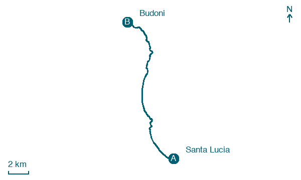
Download Appy for the stage map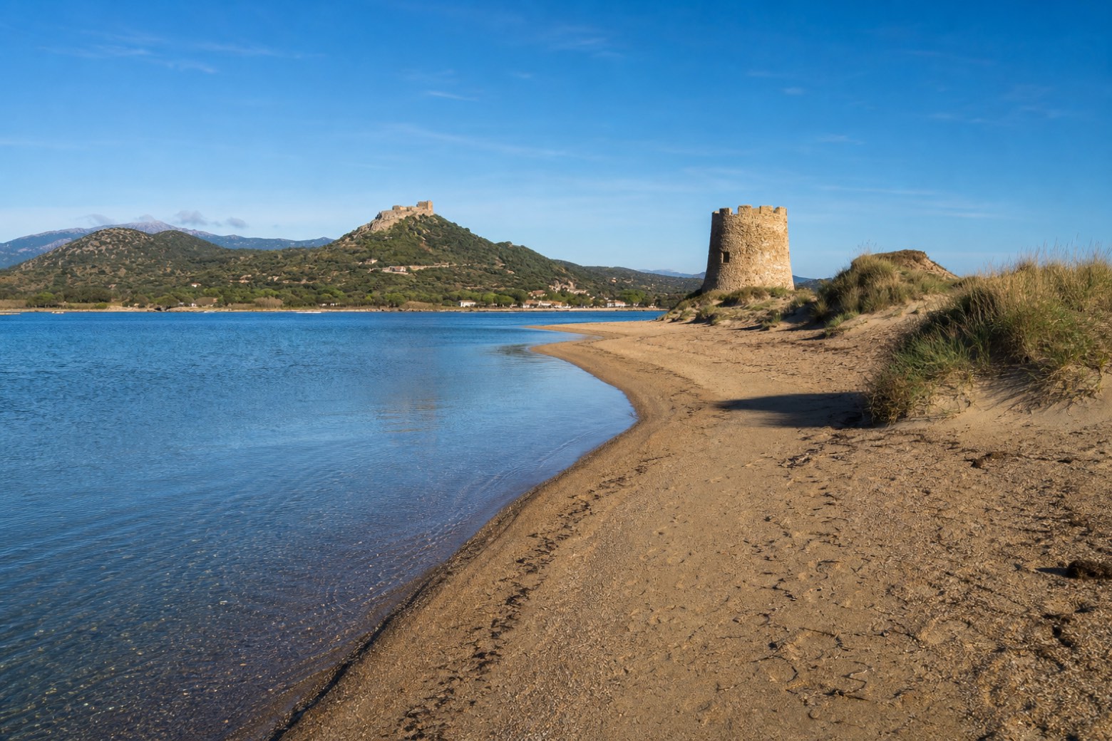
Stage information
- Ascent
- 3 m
- Descent
- 2 m
Difficulty: moderate
Walking the stage
Long sand beaches continue past Torre di San Giovanni at San Giovanni di Posada, with the Castello della Fava on its hill above Posada visible inland. The line crosses the Rio Posada mouth directly; a bridge detour may be needed. Via Ogliastra ends at Budoni, where Via Gallura begins.
Before leaving Santa Lucia, locate Torre di Santa Lucia on the map. It is close to the starting point.
Look for these places on the stage map: Sa Petra Ruja, San Giovanni, Matta 'e Peru, and Porto Ainu.
What to see on this stage
History and landmarks
Torre di San Giovanni di Posada
Tower · < 100 m from the trail as the crow flies
Torre di Santa Lucia
Tower · 100 m from the trail as the crow flies
Map · Santa Lucia → Budoni
Take your walk with you: download Appy
Cammino 100 Torri: Via Ogliastra: Santa Lucia → Budoni. Explore maps, stages and elevation in the app, and plan your train or bus journey.

