Masua → Portoscuso
Walking distance 24.1 km
Download Appy for the stage map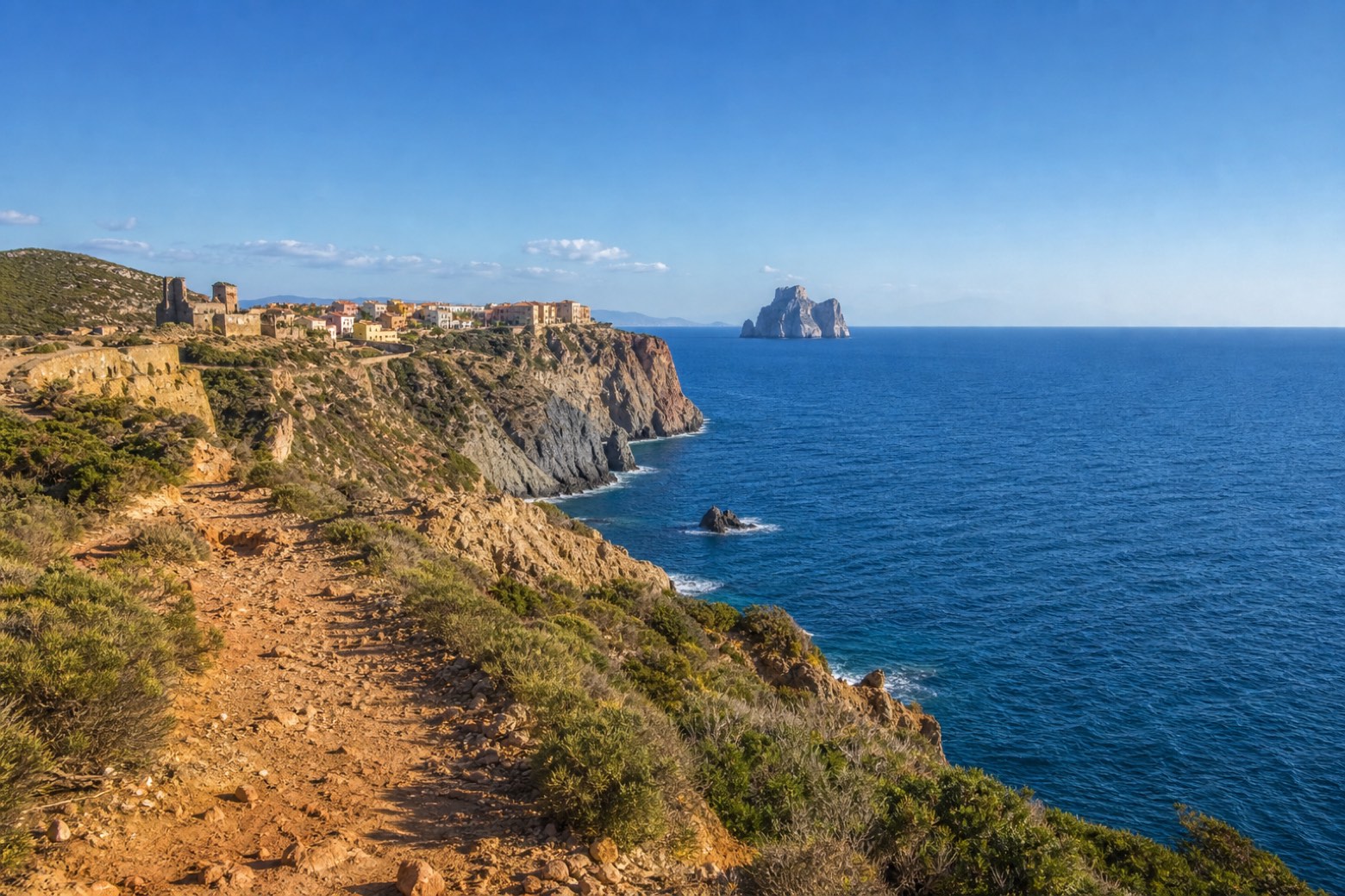
Stage information
- Ascent
- 329 m
- Descent
- 361 m
Difficulty: moderate
Walking the stage
Coast road and dirt track climb past Nebida, the former mining village on the sea cliffs, with the Pan di Zucchero sea stack still visible behind to the north. The line ends just over a kilometre short of Portoscuso; Via del Martirio picks up across the water at Calasetta, a sea gap this via does not walk.
Look for these places on the stage map: Nebida.
What to see on this stage
History and landmarks
Torre Spagnola
Tower · < 100 m from the trail as the crow flies
A coastal tower shaped like a truncated cone, built of local lava and volcanic tuff on a hill above the little harbour. The only door sits 3.5 metres up, reached by a 16-step stair; in 1767 it held four large cannons.
Ex tonnara Su Pranu
< 100 m from the trail as the crow flies
The activity of tuna fishing, along with the establishment of facilities for processing the catch, represents the first impetus for the urban aggregation of many centers in Sardinia.
Nature and landscape
Ginepro coccolone di Monte Perdaias Mannas, Gonnesa
Monumental tree · 100 m from the trail as the crow flies
Italy’s monumental tree register identifies this specimen as Juniperus oxycedrus subsp. macrocarpa (S. et S.) Ball. It records a height of 7 m and a trunk circumference of 300 cm.
Pan di Zucchero
1.9 km from the trail as the crow flies
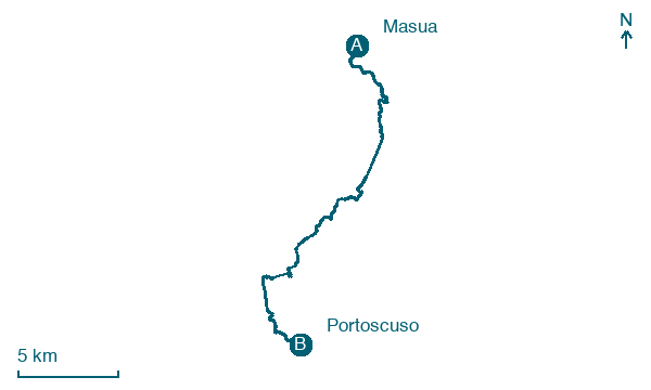
Map · Masua → Portoscuso
Take your walk with you: download Appy
Cammino 100 Torri: Via delle Miniere: Masua → Portoscuso. Explore maps, stages and elevation in the app, and plan your train or bus journey.

